Day 11 continues
The “White Coral Trail” was one demanding experience, but there is no time to relax and rest, not yet.
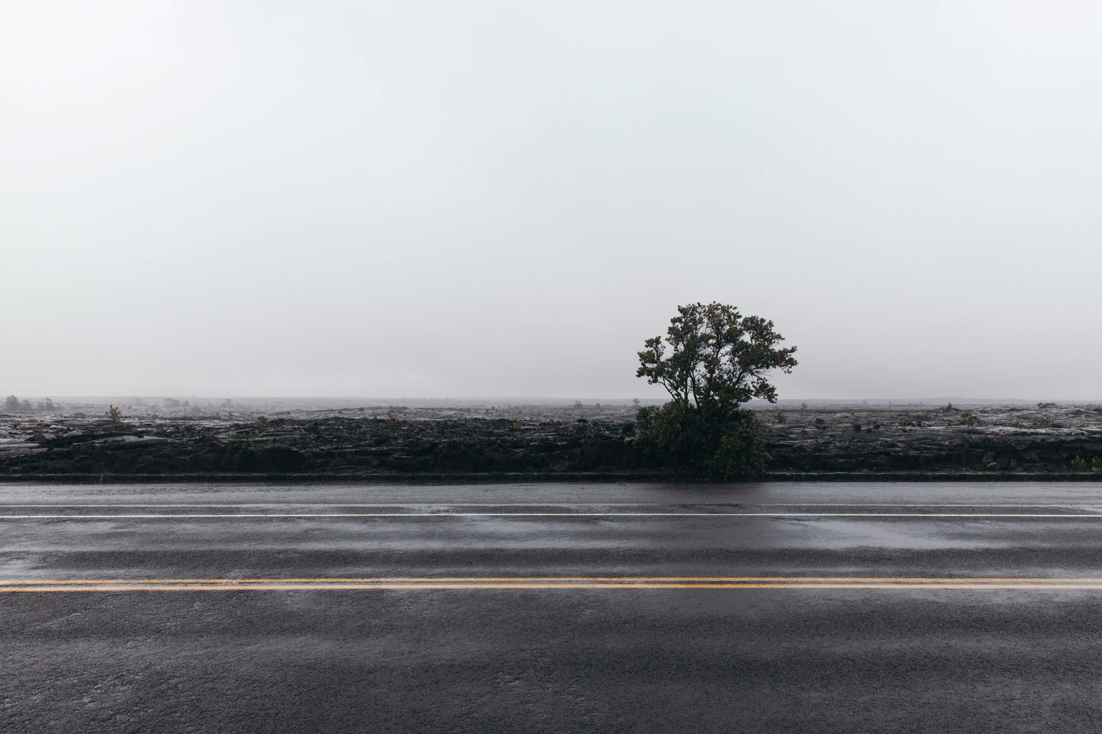
We pack, thank warmly our dear host Billy (whom we met in the previous episode), get back on the road. The drive leads us through familiar places: South Point, Naalehu, down to the East Coast, and by Punalu’u Black Sand Beach. It feels like going back a couple of pages of a book to read them again before starting an exciting new chapter. Terra incognita. New landscapes. The green turns to black again, as the road winds around Hawaii Volcanoes National Park.
Black desaturates back to green while we pass towns named “Fern Forest”, or “Orchidland Estates”.
Our next host is —another— Billy. We agreed to meet somewhere on the road, at a crossing we cannot find. Even though the road grid is not extensive, we find each other an hour later than agreed, after Sunset. Tanya and I greet a very nice and warm soul. He leads us to his place, a wooden house/hut in the middle of the forest. We slowly follow him through the jungle, with much stress, for the mud-and-rock trail to his place is really dented and treacherous, making me realize that I could destroy the whole bottom of the car if I were to cut a turn 10-inch too short or too large. Half-a-mile of a roller-coaster-like experience, and we are there. I wipe my cold sweat away, we plant the tent in his yard, and are eager to go lie down.
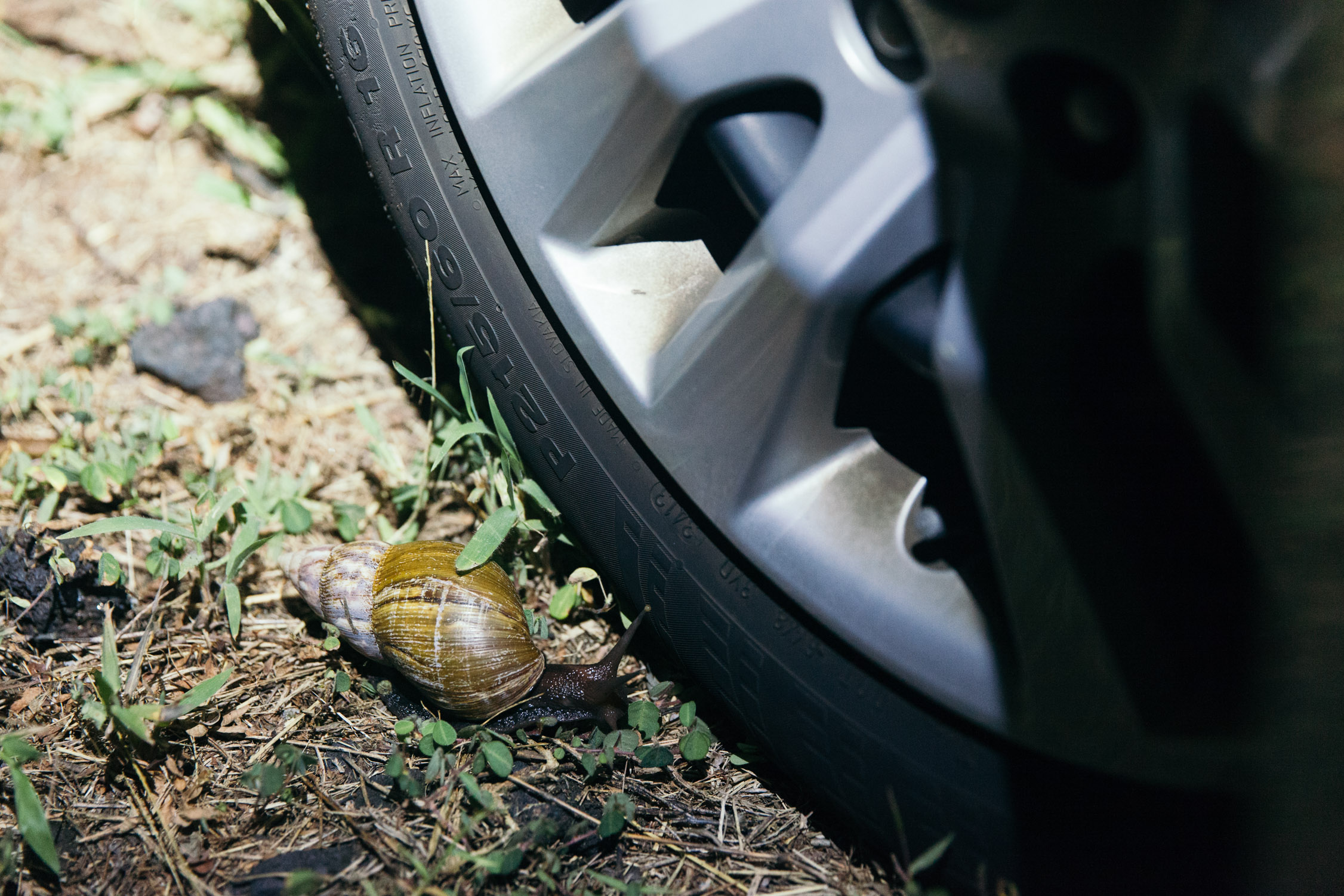
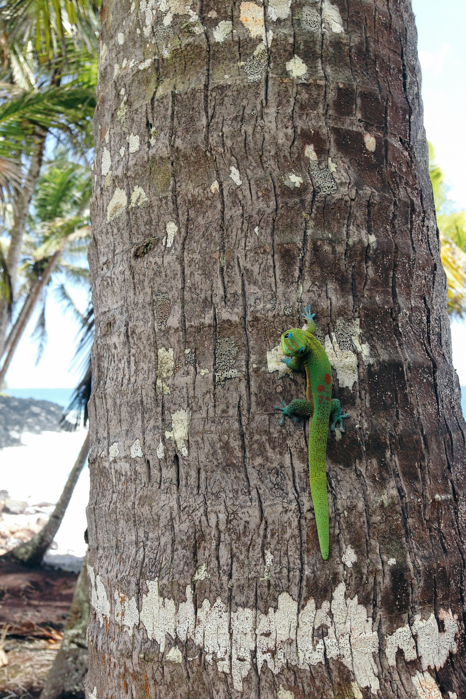
Wait … you’re a bit too big to be a snail …
The night sky is amazingly clear and bright, as much as the local fauna is abondant and loud.

Day 12
The coast that is no more
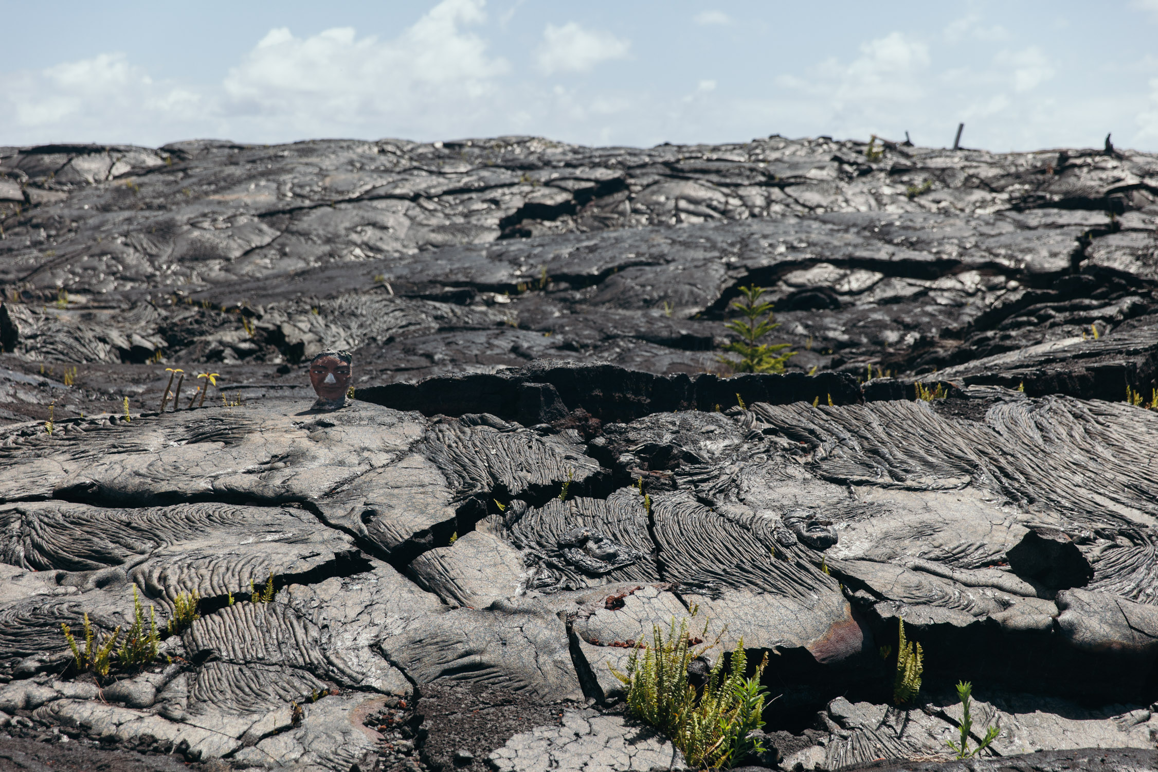
Note: When we visited Big Island, back in 2015, the coast I am about to describe was black and green, full of life. 2018 brought a major eruption in the area. “Fissure 8” (the largest of 24 vents from which the lava came up and out) sent up to 150 m³ of material every second towards the Ocean for months (that’s the equivalent of a full Olympic pool completely emptied every 16 seconds) (the pressure was so, that the fountain of lava was estimated to be 18 stories high at times). As of now, the Island is ±875 acres bigger#1, and part of the coast referenced in the story is now filled with fresh black lava.
The map below reflects the journey we took. You will note the missing parts of roads. I added a gray layer to reflect the area of land –and Ocean– that got covered by the eruption (data from USGS).
The morning lights are already here when our eyes open. It took me a long hour to get used to the loud party that was happening at night, and we soon enough find out why: coquí frogs! Those little ones might only be about an inch long, but they produce a 90-100 dB call (about the level of a jackhammer, or your average home stereo at full volume) when trying to find their mate. The forest must be full of single souls.
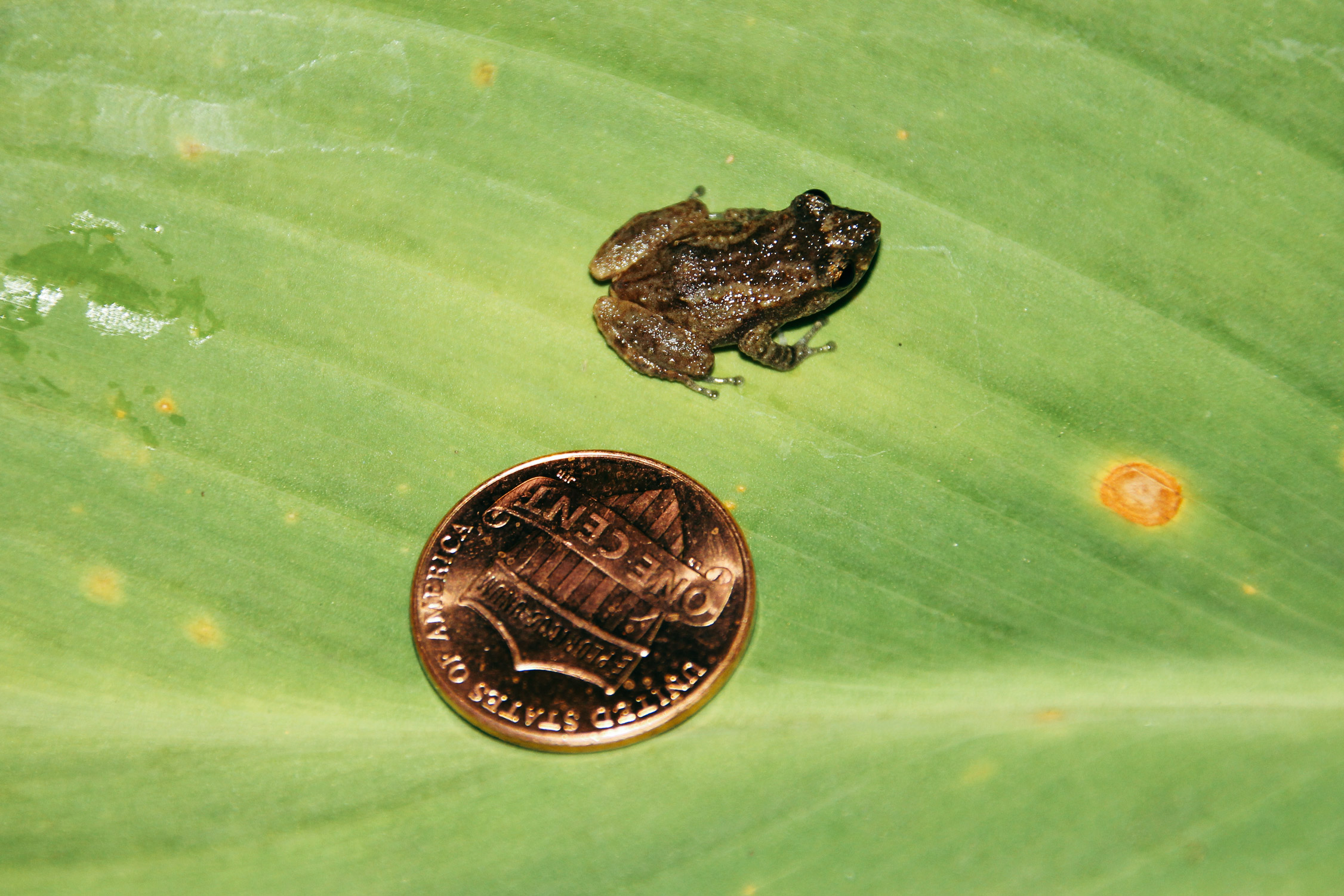
Coquí Frog — this one from Puerto Rico (Creative Commons Cathybwl)
We meet with Billy and tell him we won’t stay with him in Kalapana for the 3 days we had planned. Going through the jungle once was enough. Well, twice, since we still have to drive out.
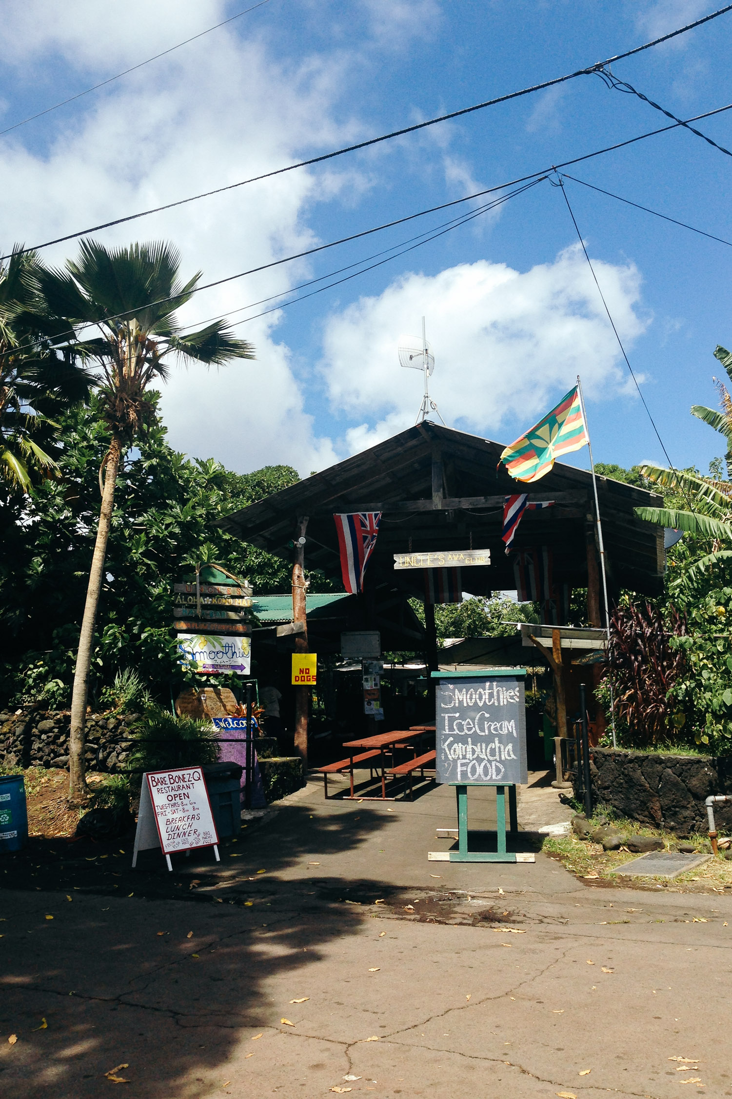
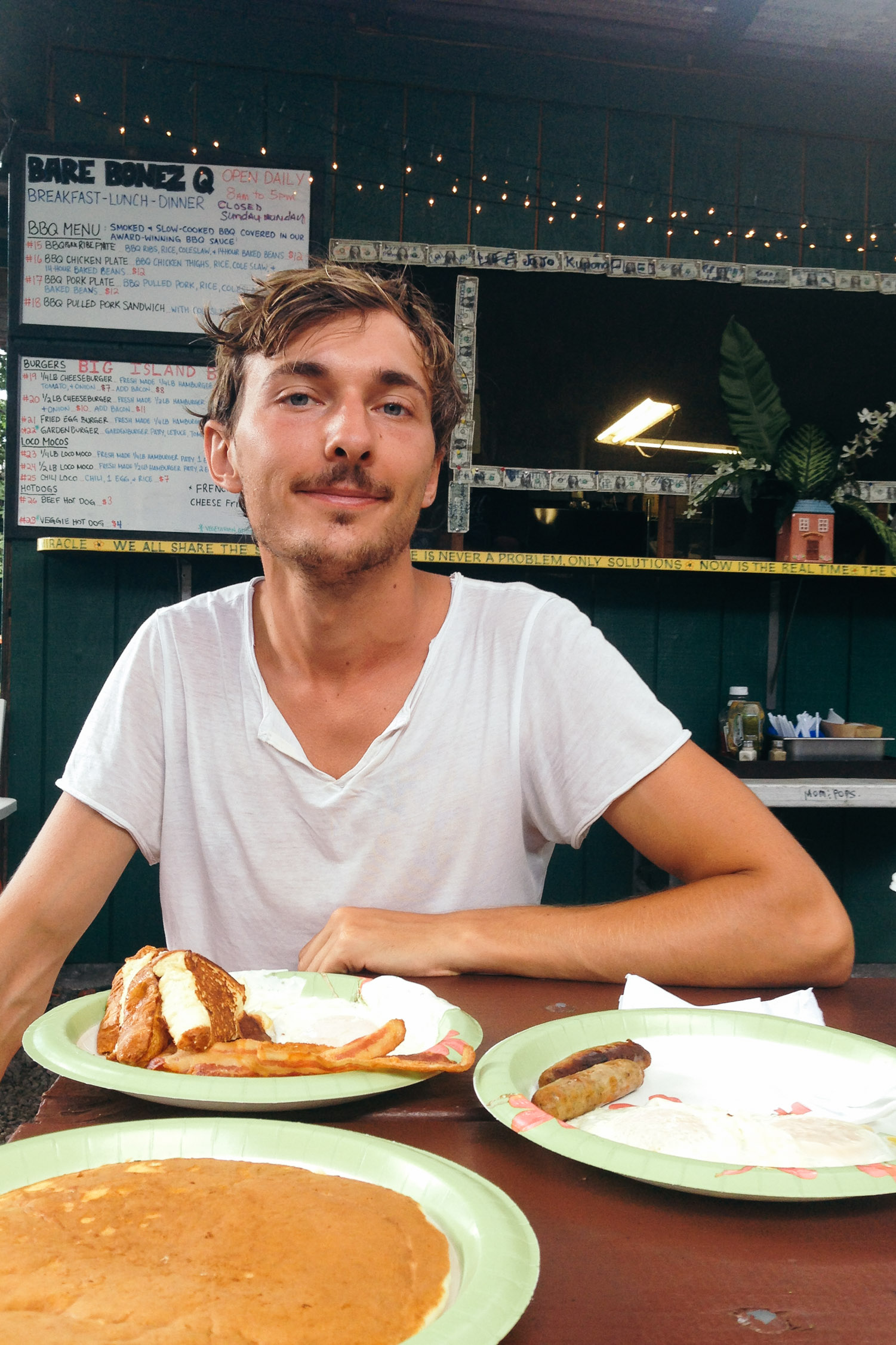
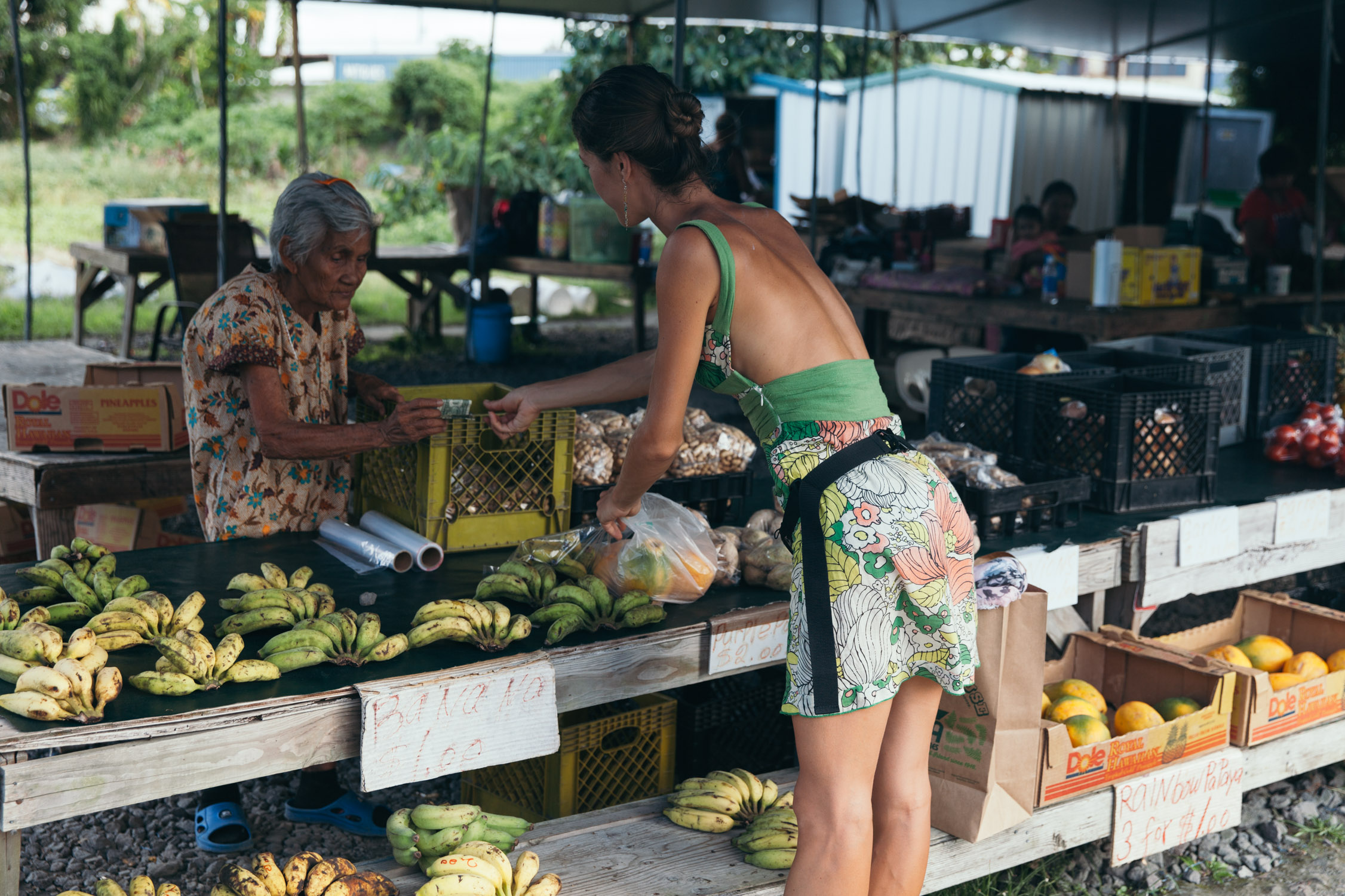
We luck our way out with a car in one piece, and head to Uncle’s Awa Club for breakfast. A combination of a fresh market and small food huts. We sit at a table of Bare Bonez Q’s, for a pancake, sausages, eggs and French toasts (by the way, I’m French, and that’s not how we eat toasts). A meal to last a full day.
Loud bangs, like thunder, startle us. An avocado tree as large as a full block covers the whole area, and its fruits fall every so and then on the tin roofs of the market, and roll to fall to the ground.
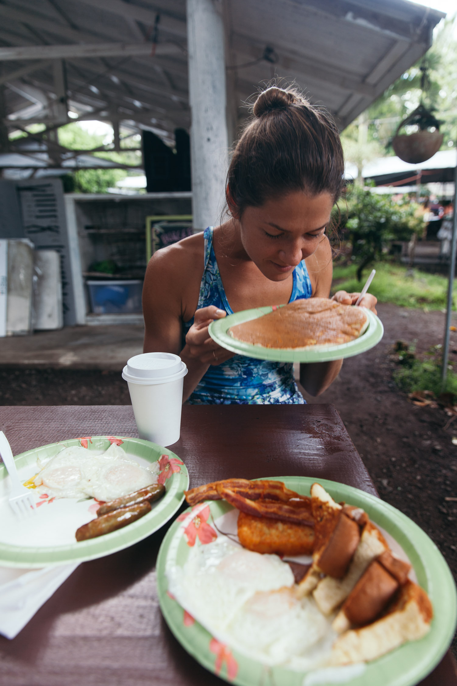

That fresh avocado just fell for us!
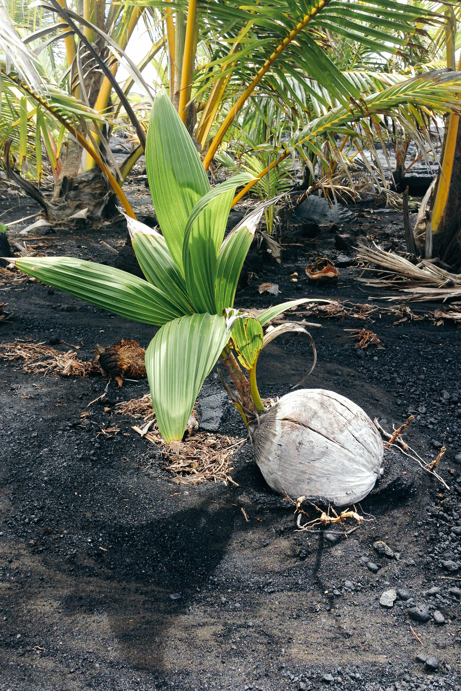
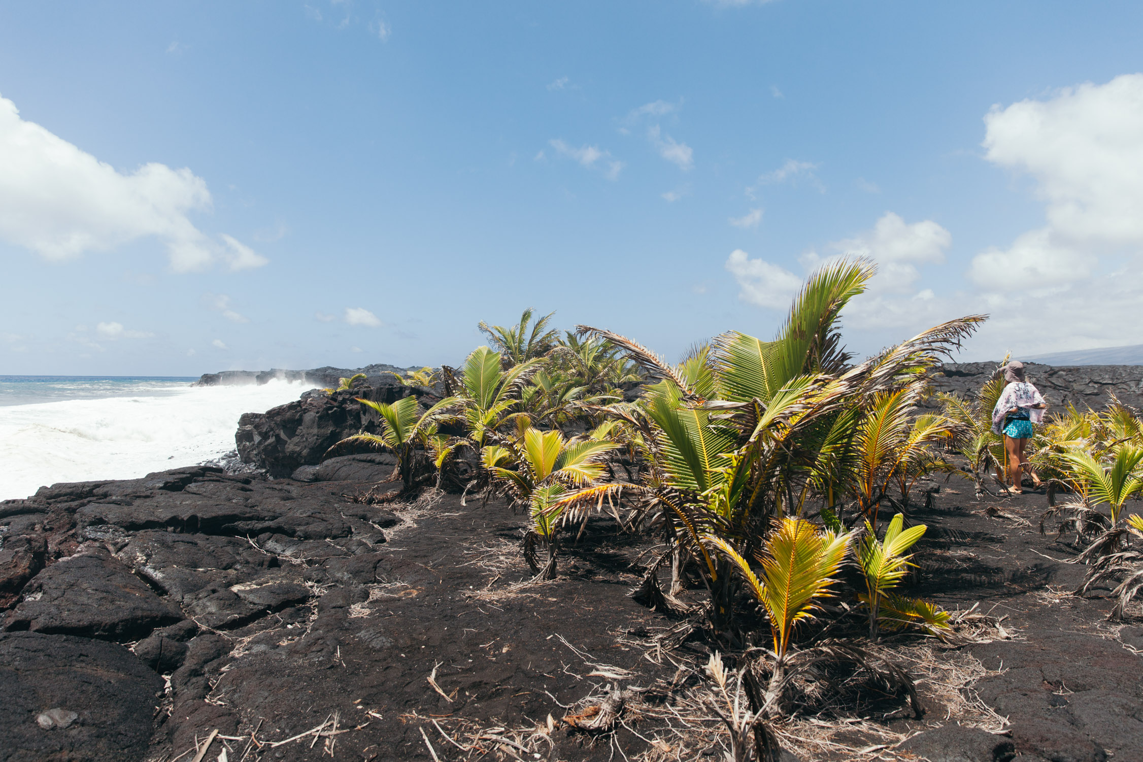
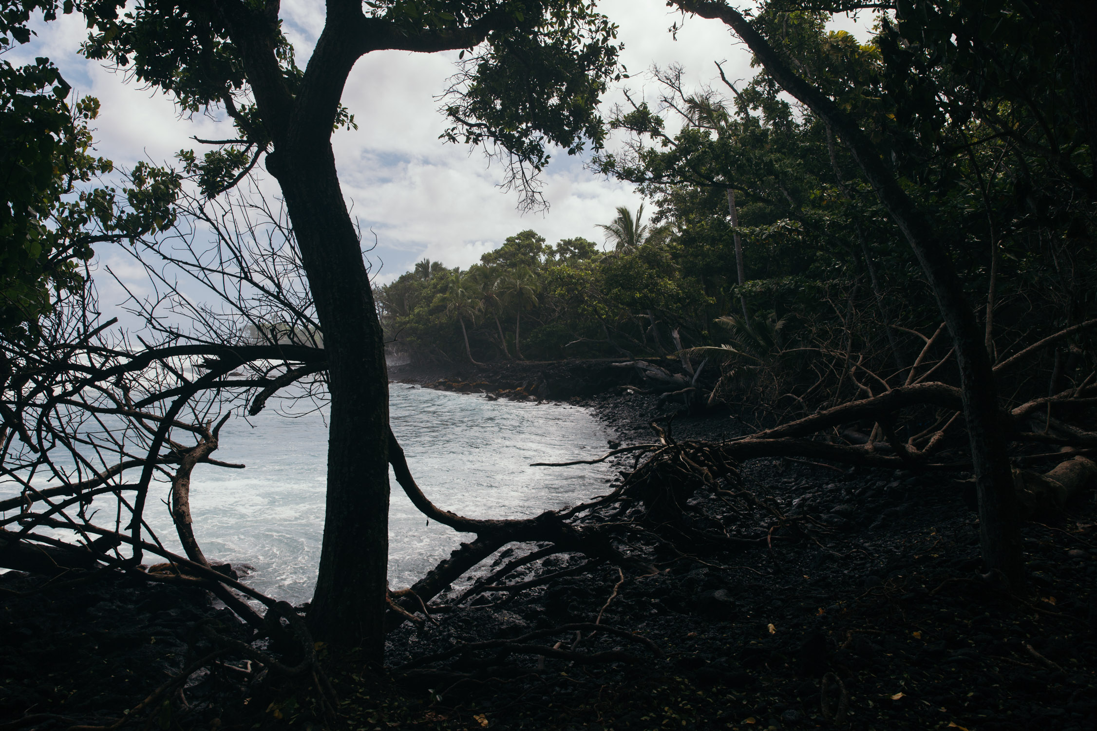
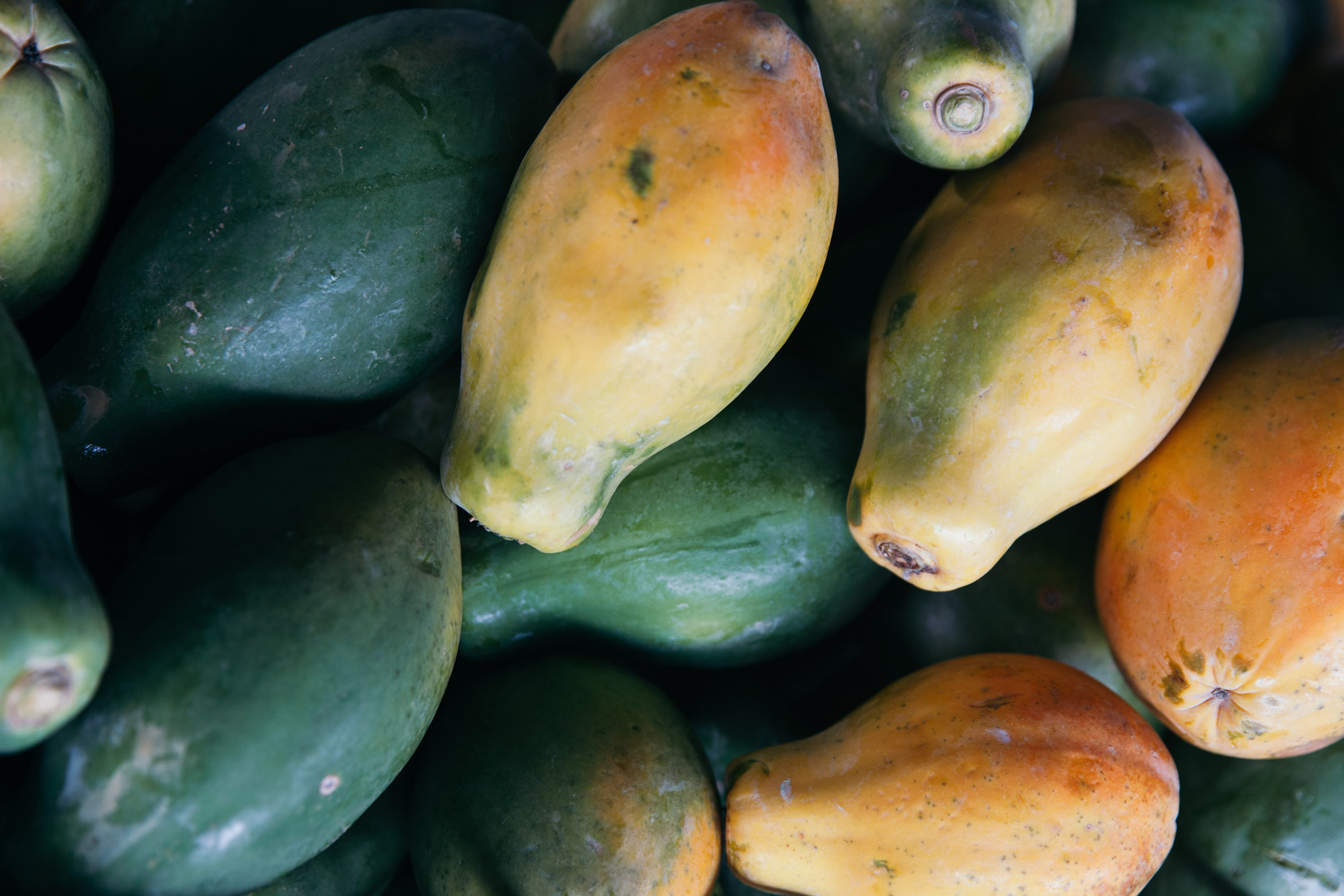
We grab one giant avocado offered to us by the tree, and head out. Just across the market lays a path through the lava rock to the Ocean, at Kaimu Beach Park. Again, a striking contrast between the harsh, black, desolate terrain, and the coconuts that lay there, Nature waking up, stretching out their soft and lively young green leaves. No beach per se, more of a rough-cut shore harshly spanked by the waves.

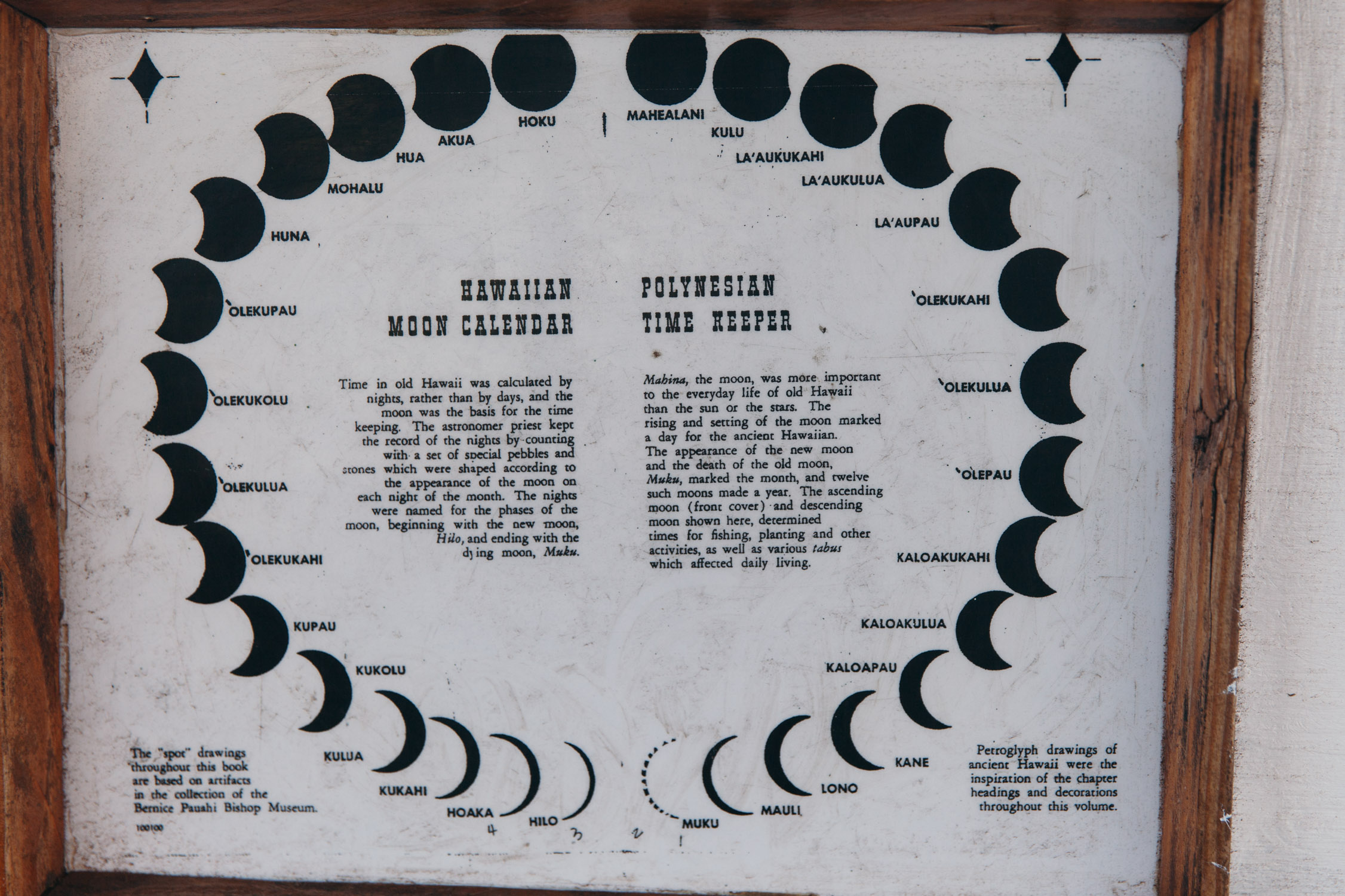
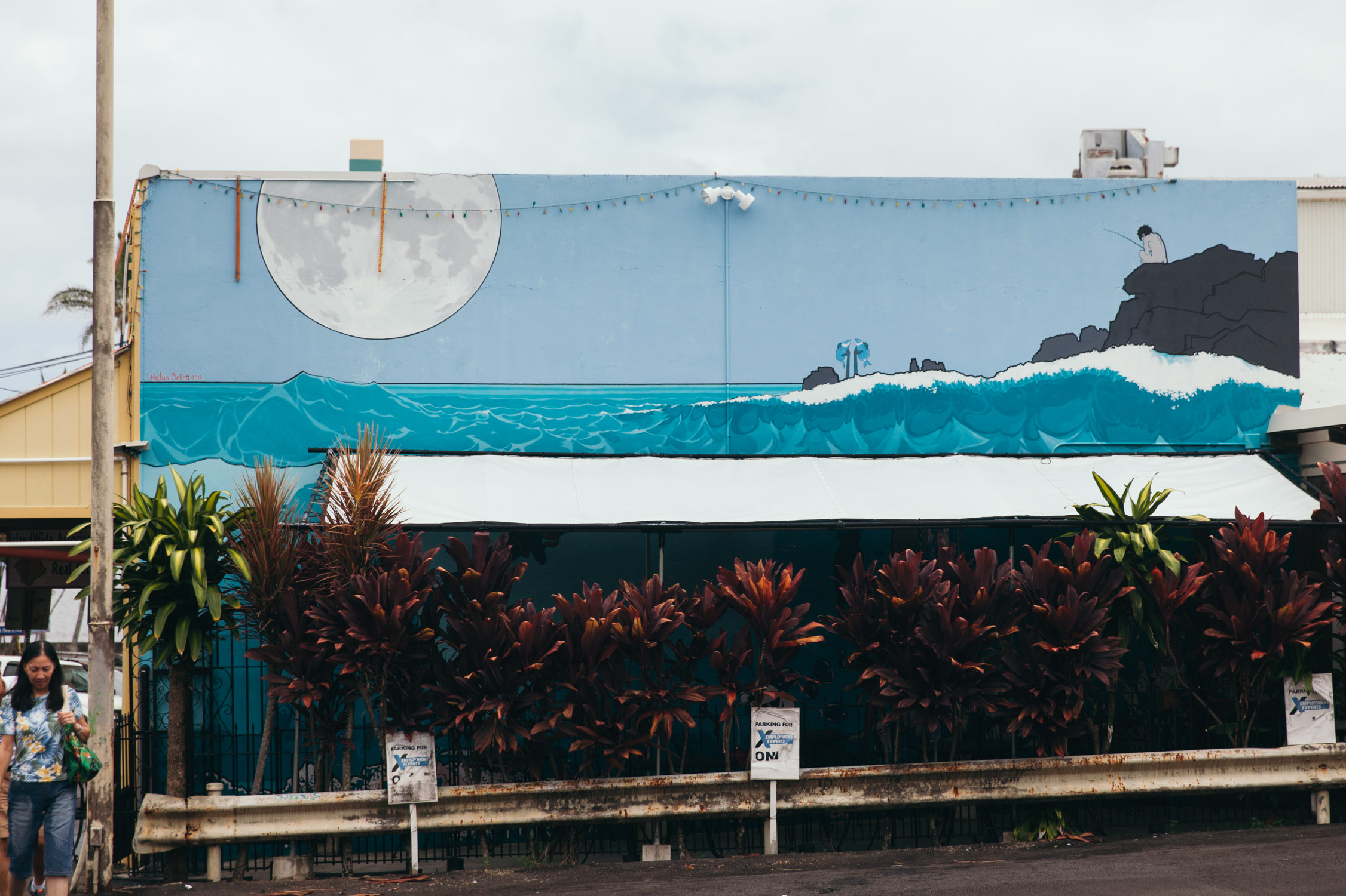
All the moon phases have a name. <3
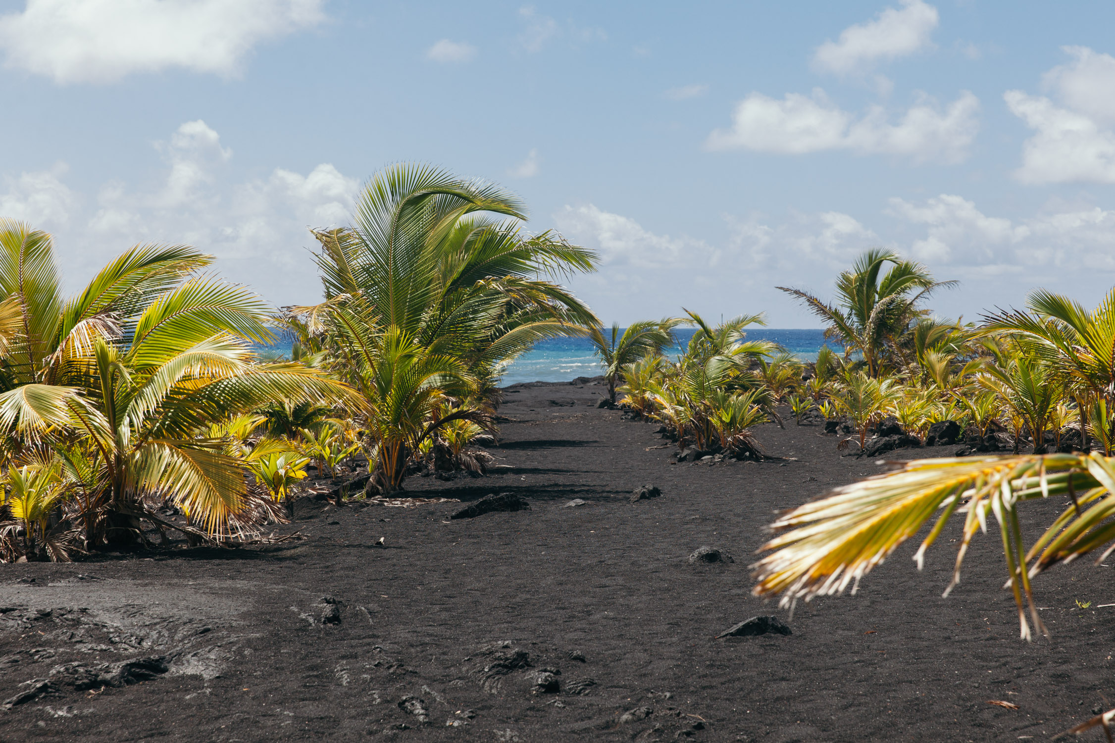
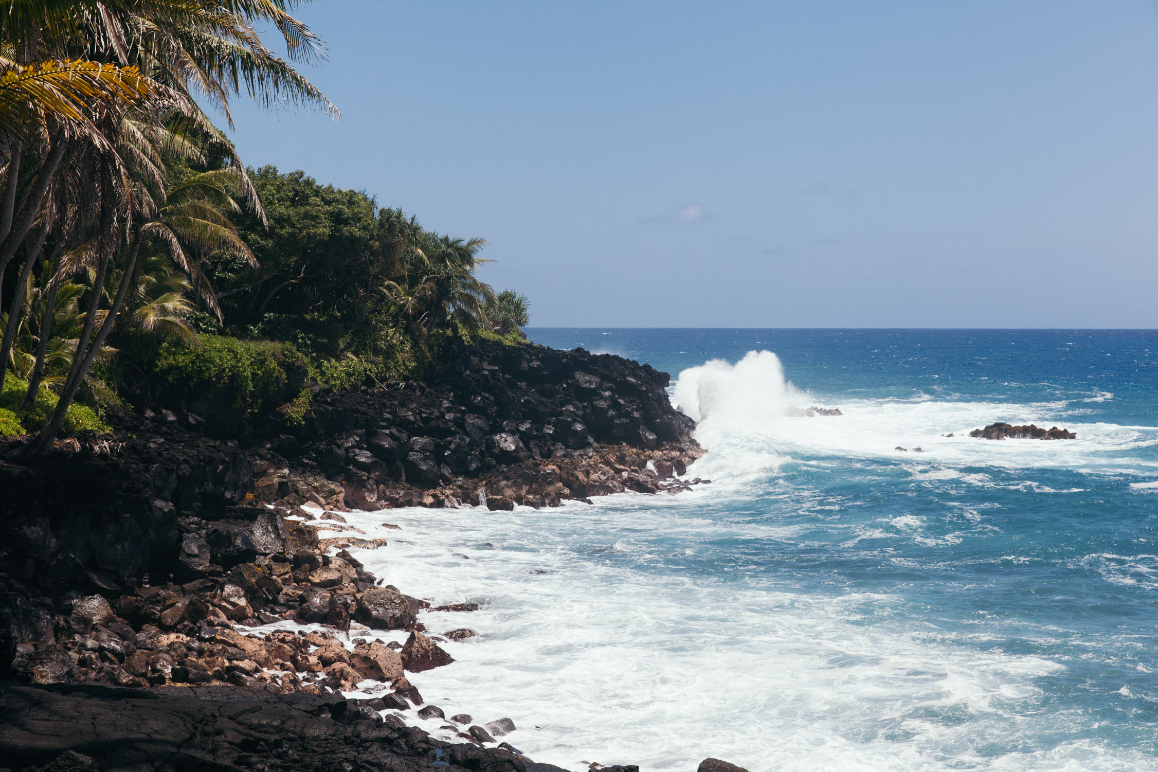
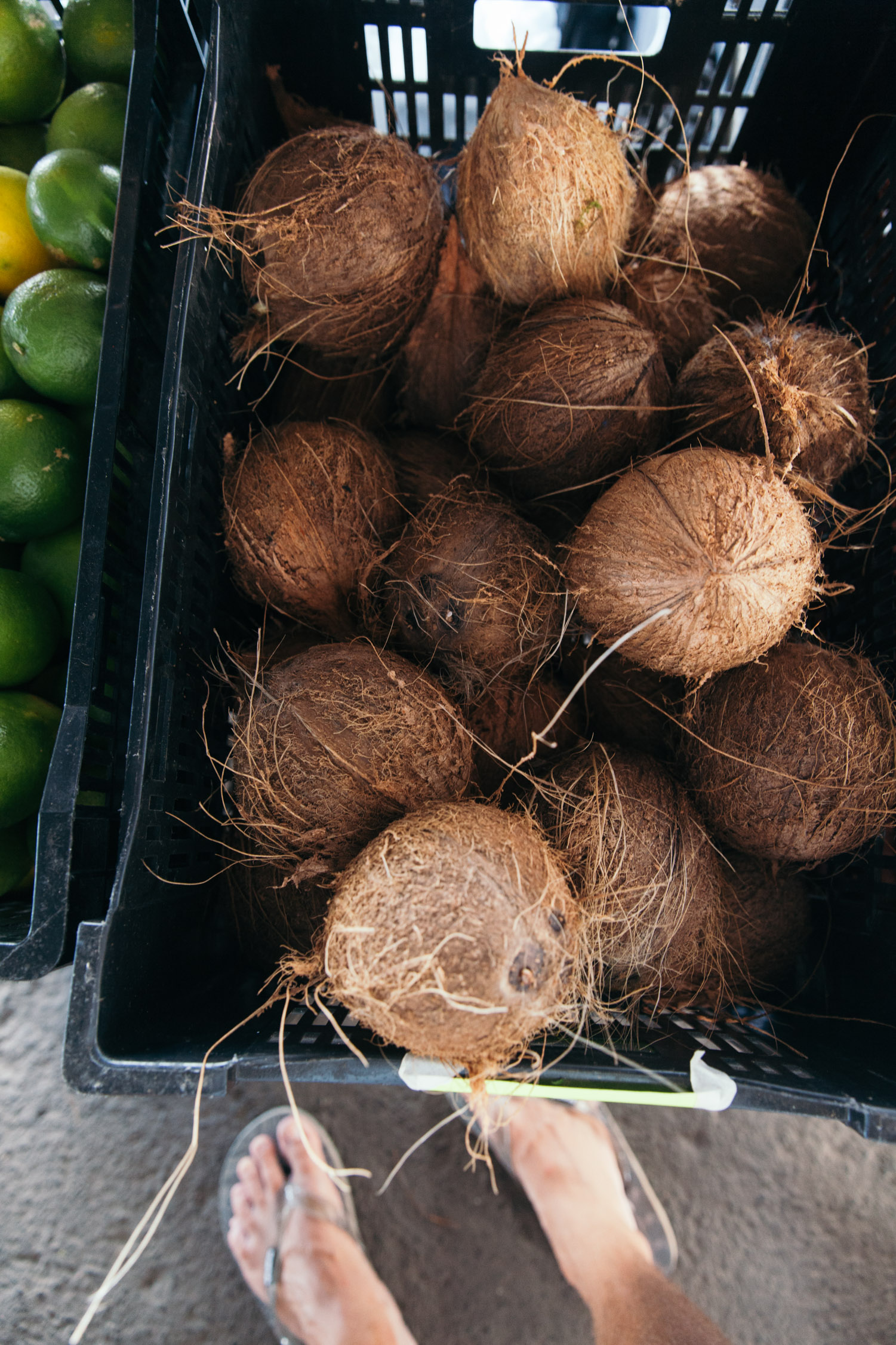
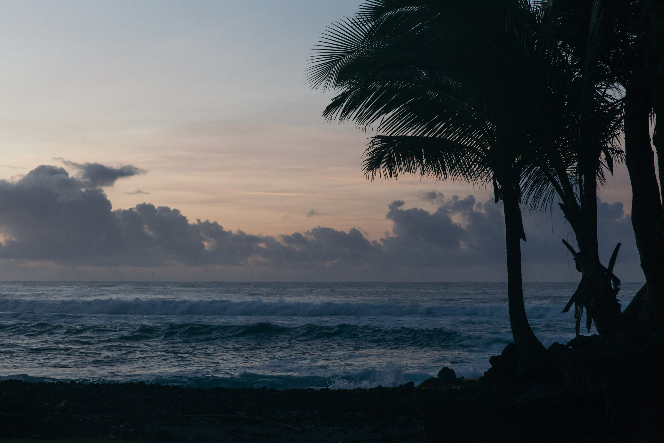
We keep following the road to the North. Palm trees, Ocean, coconuts and scenic views all the way.

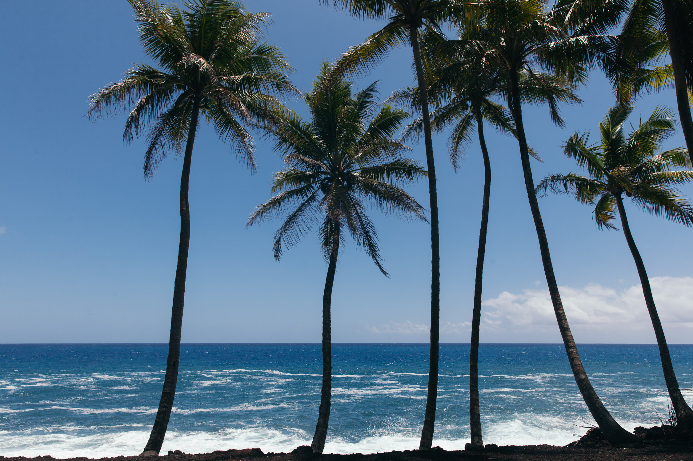
Coconuts!

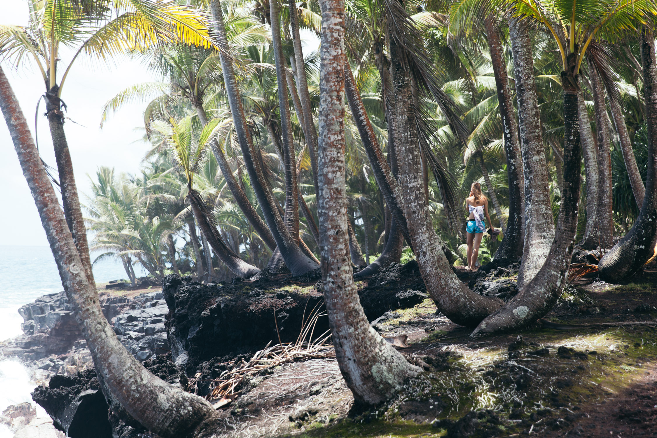
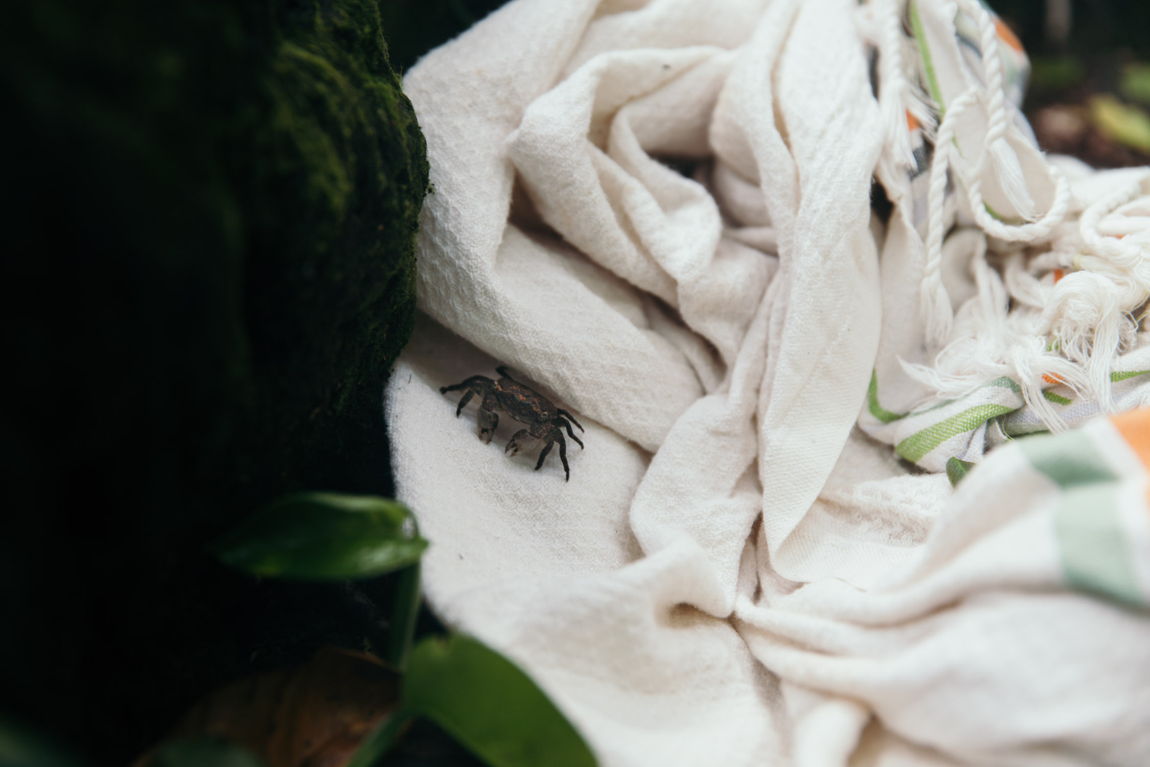
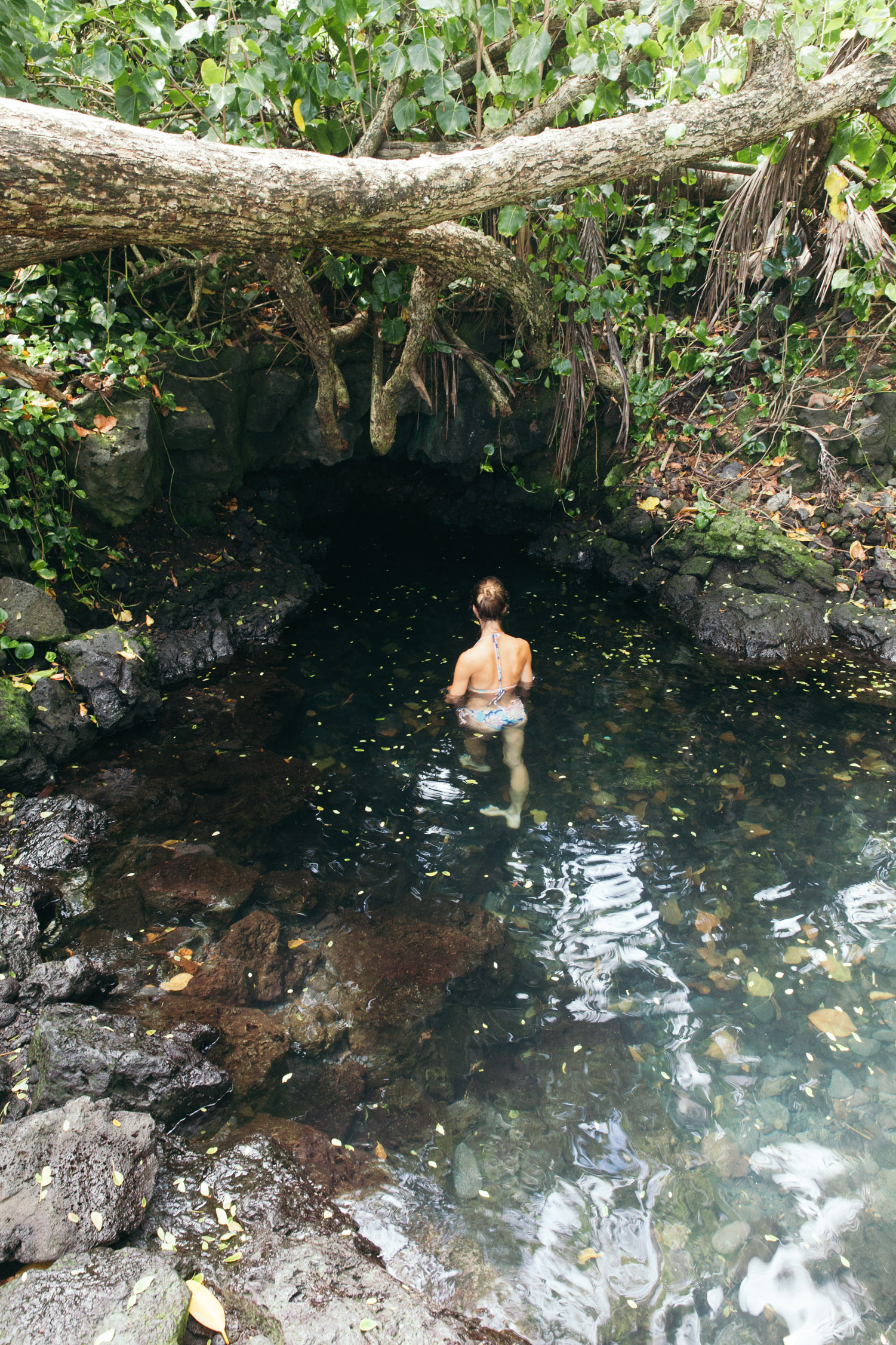
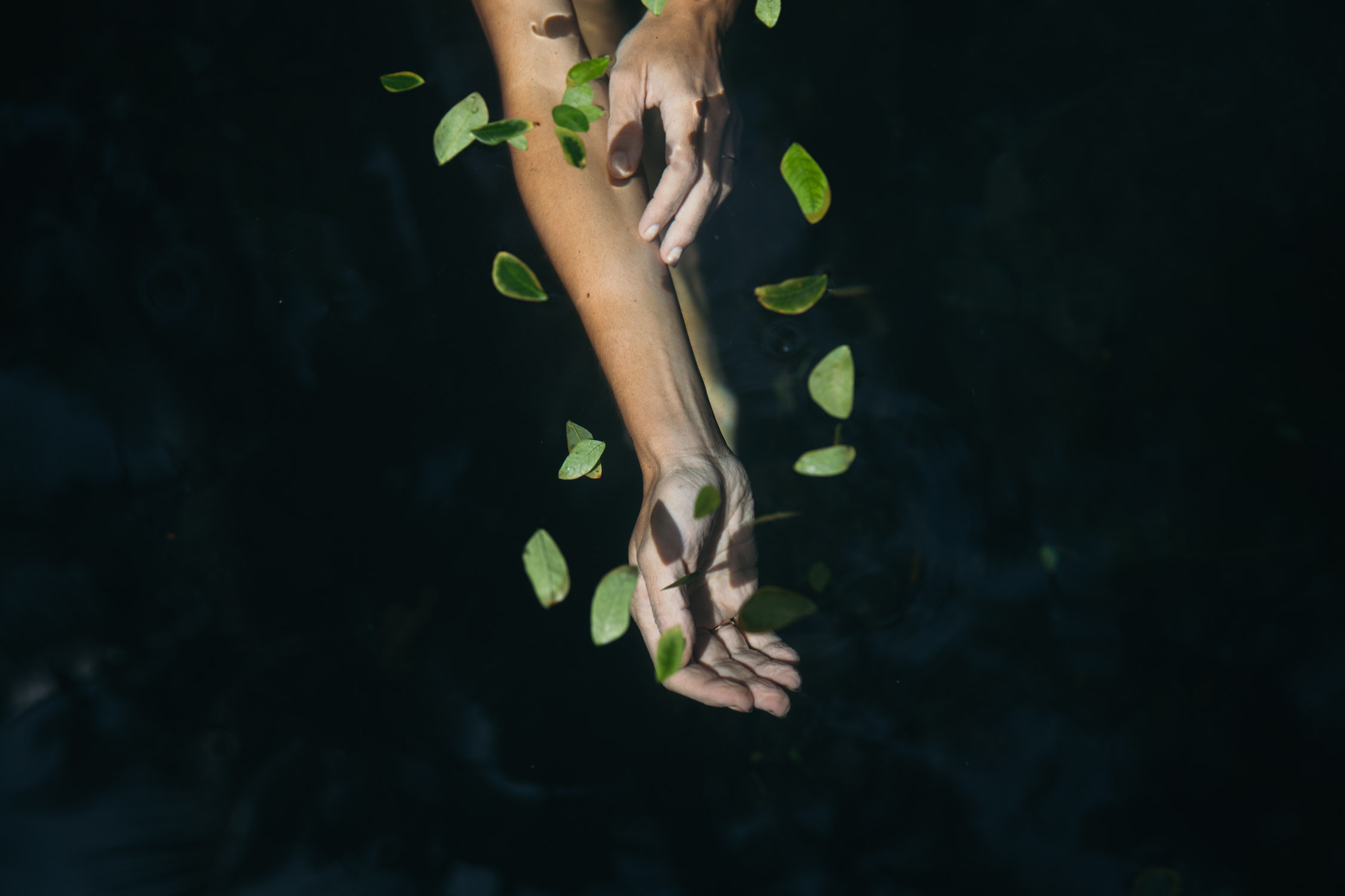
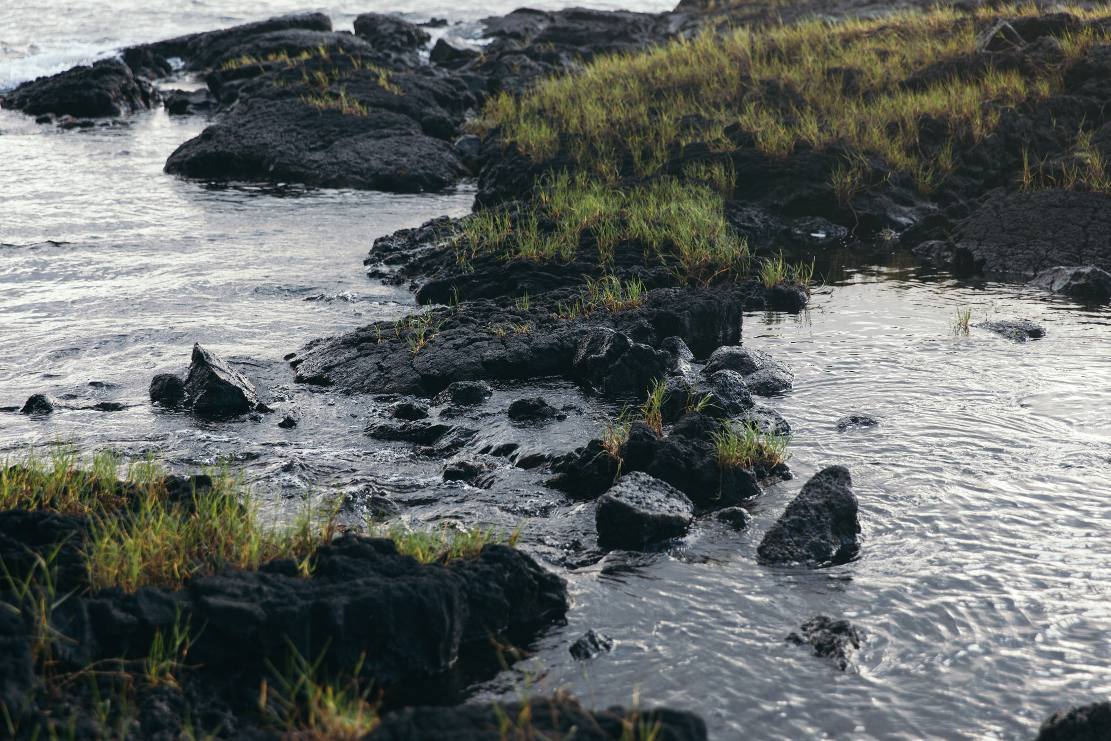
We park near a beach known for surfing, and walk through the trees to find a little pool hidden in the forest. Quiet time. Photo shoot. Alone in this hidden gem. Just a little crab feasting on the fibers of my Tunisian foutah (or maybe the water droplets that lay on it).

McKenzie State Recreation Area
The day goes by with these little hops on the coast, and our last stop is in Pāhoa, where we will spend the next nights. The best Fish’n’Chips is found under the name of Pāhoa Fresh Fish. The potatoes are amazing, the fish is local, thick, meaty, and absolutely delicious. Mahi-mahi, and Ono. At the time of writing, three years after this journey happened (already, sic), our hearts still beat for that place, and no Fish’n’Chips in any country we visited has proven itself up to it.

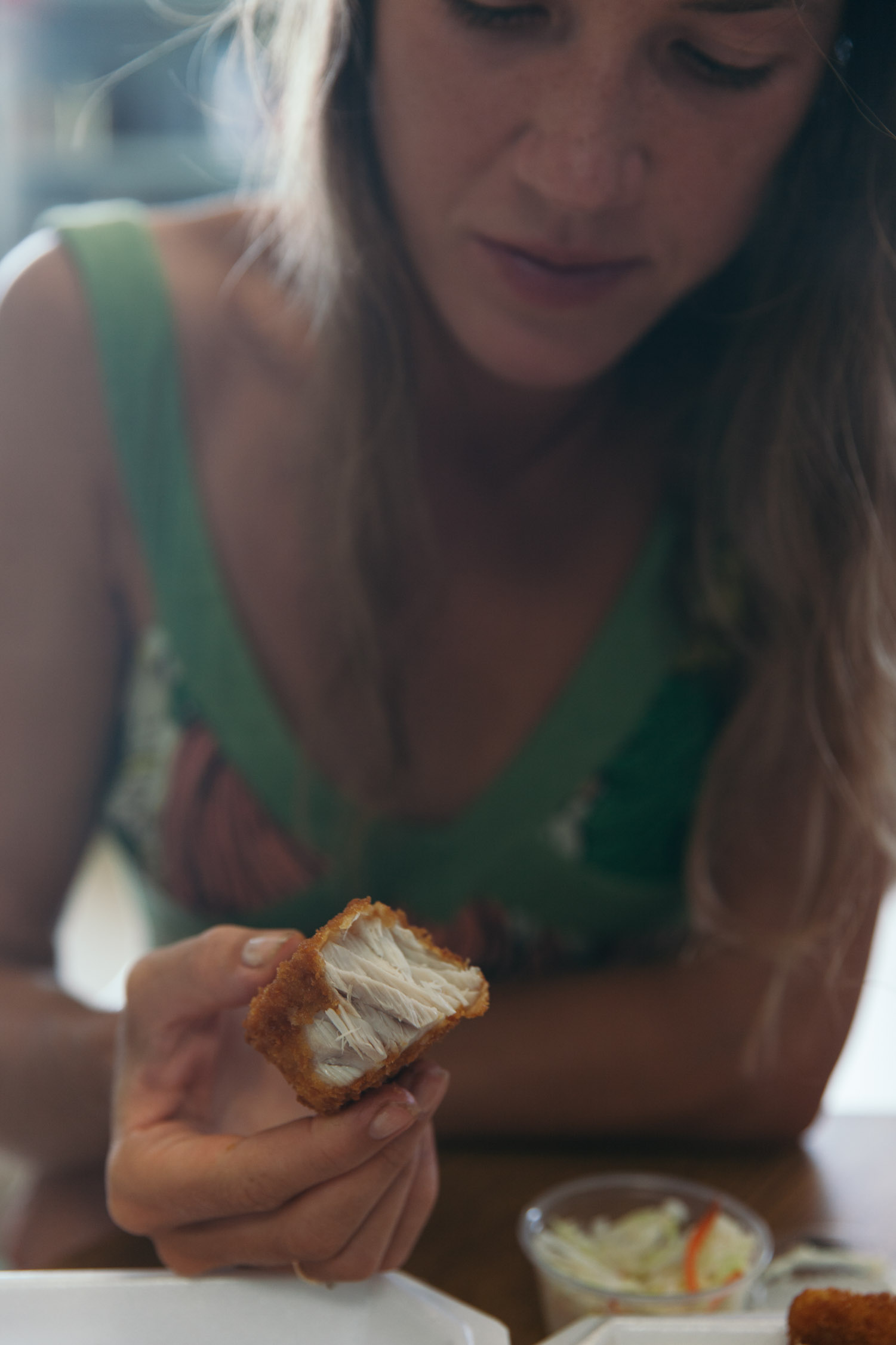
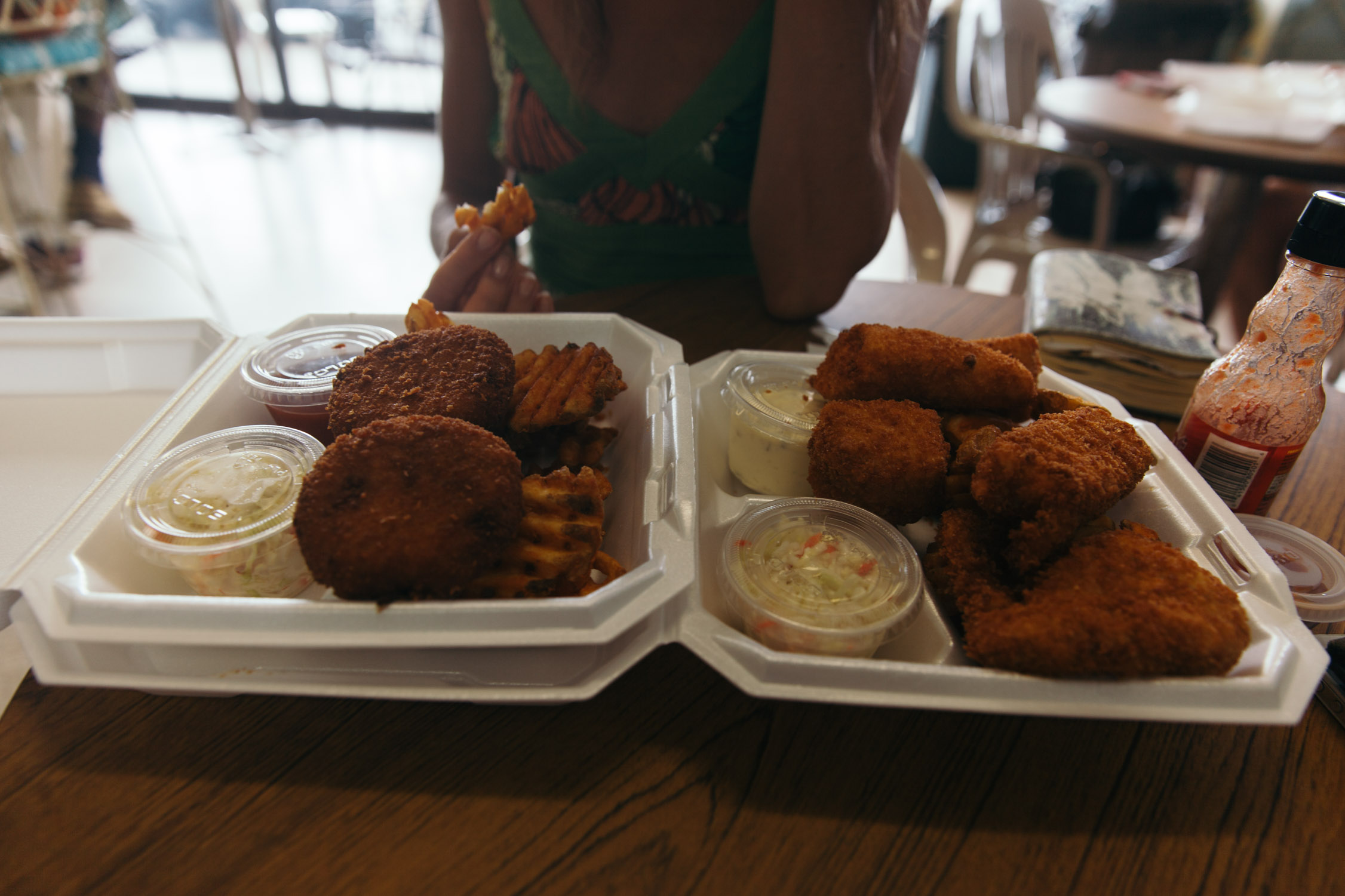
Fish & Chips!
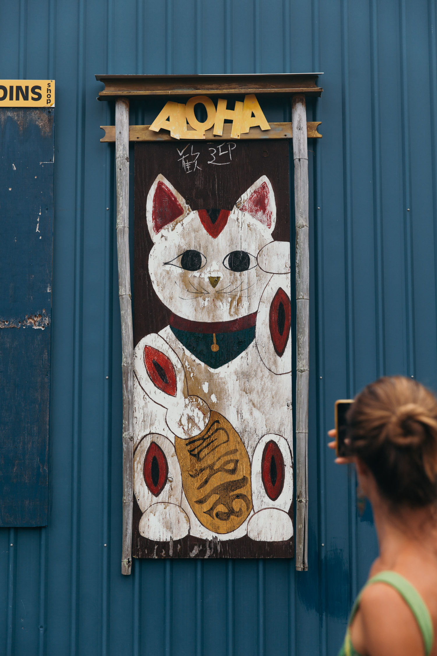
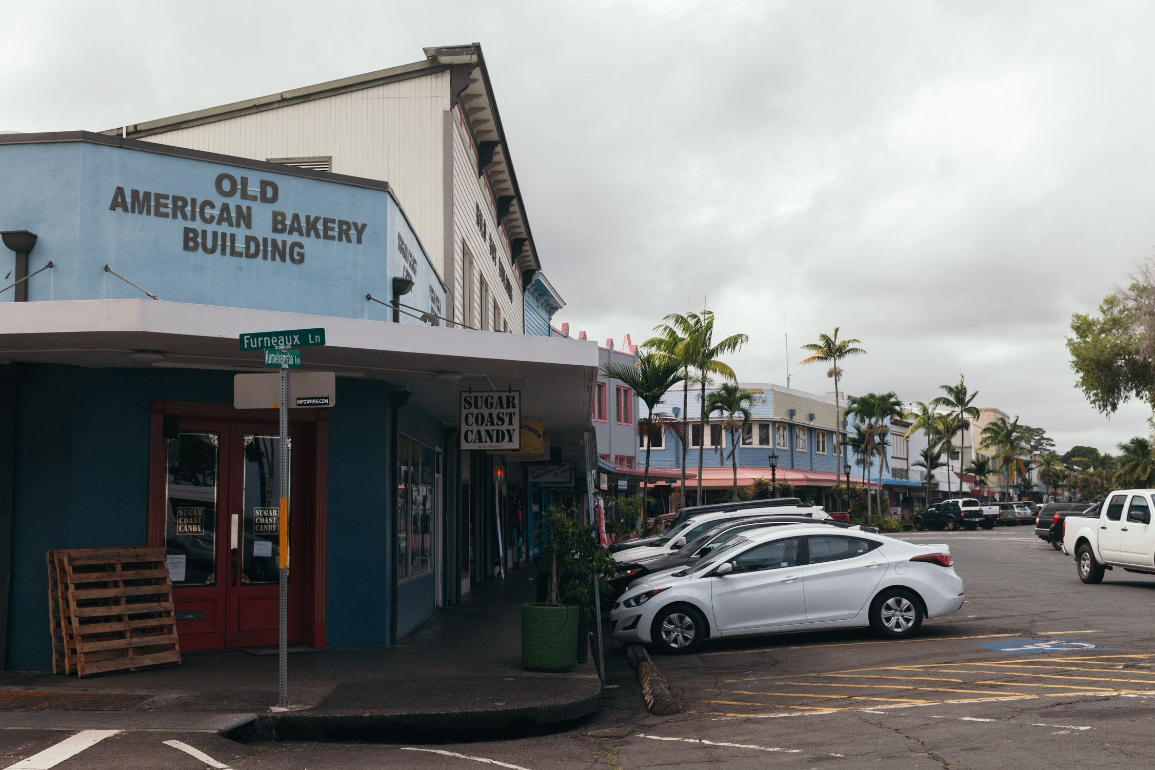
We end our exploration with a visit of the Main Street of Pāhoa, little shops and services.
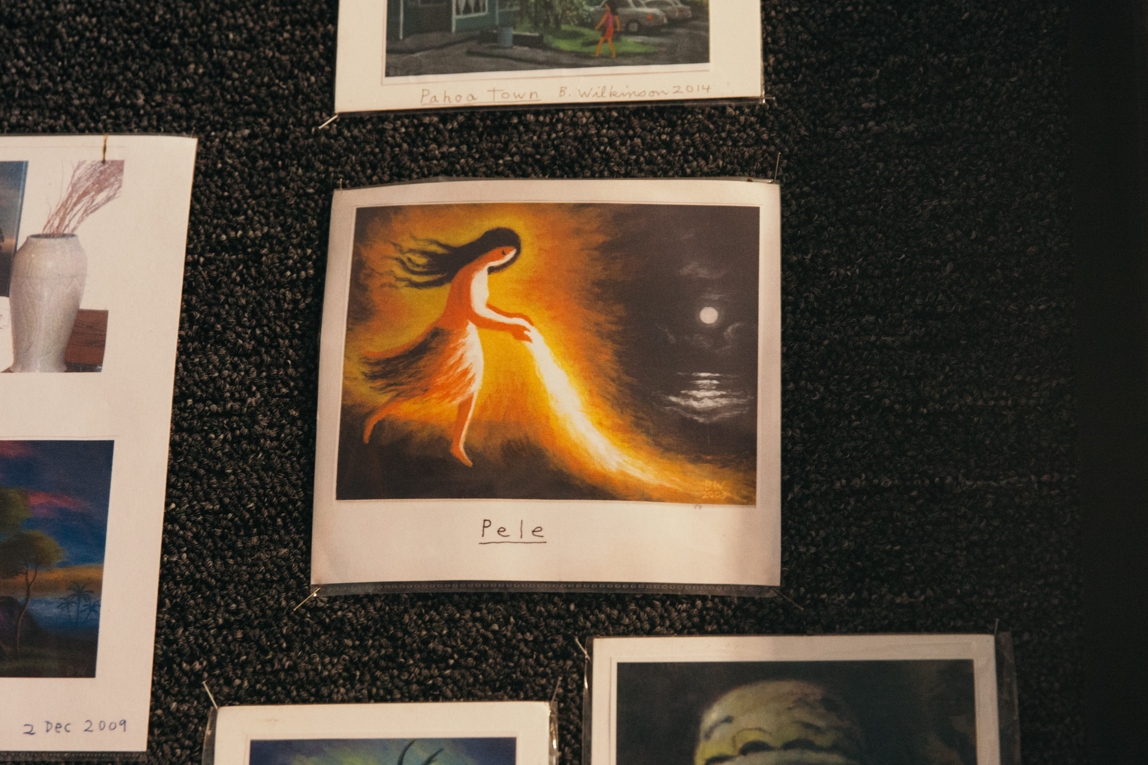
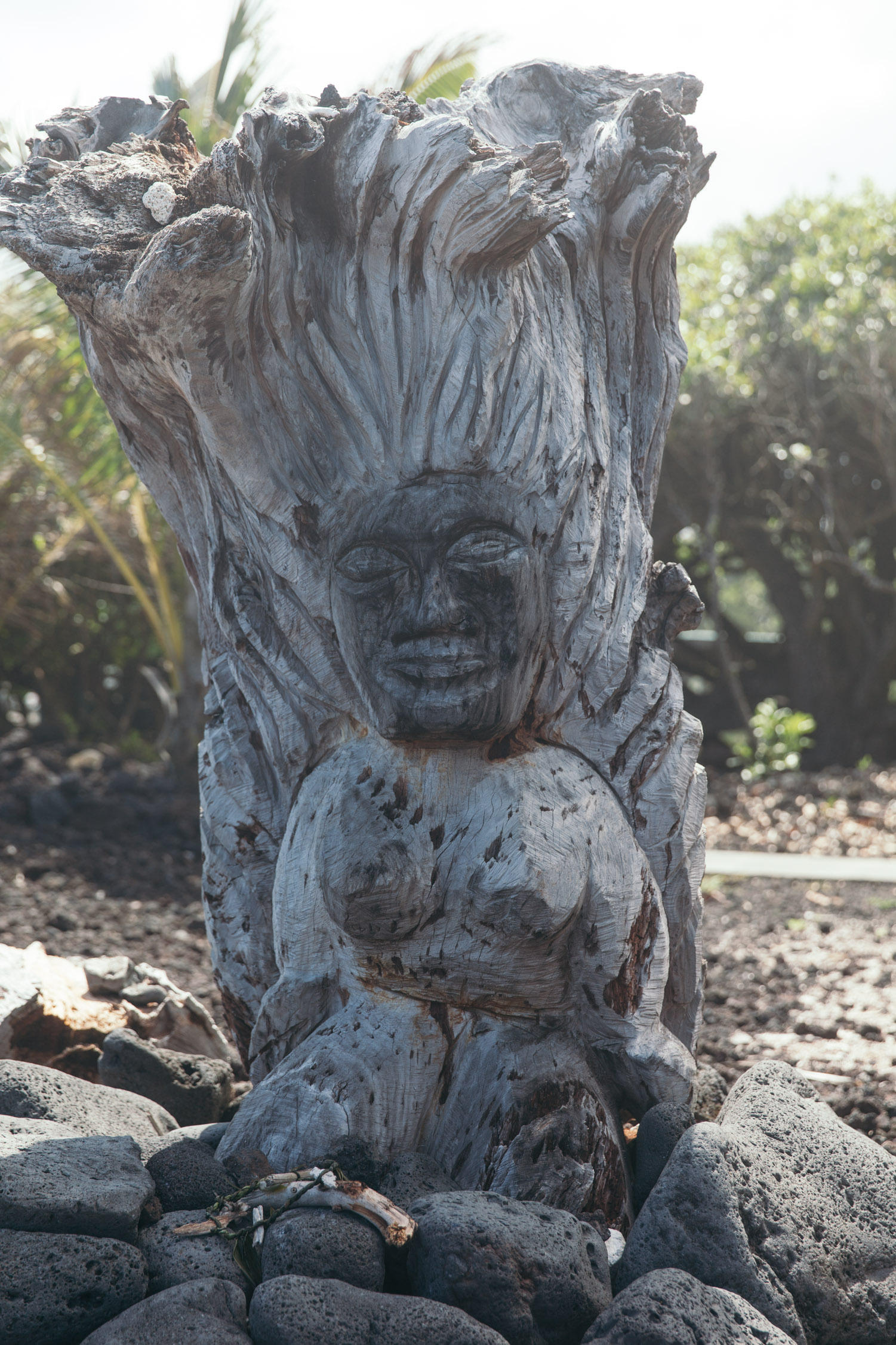
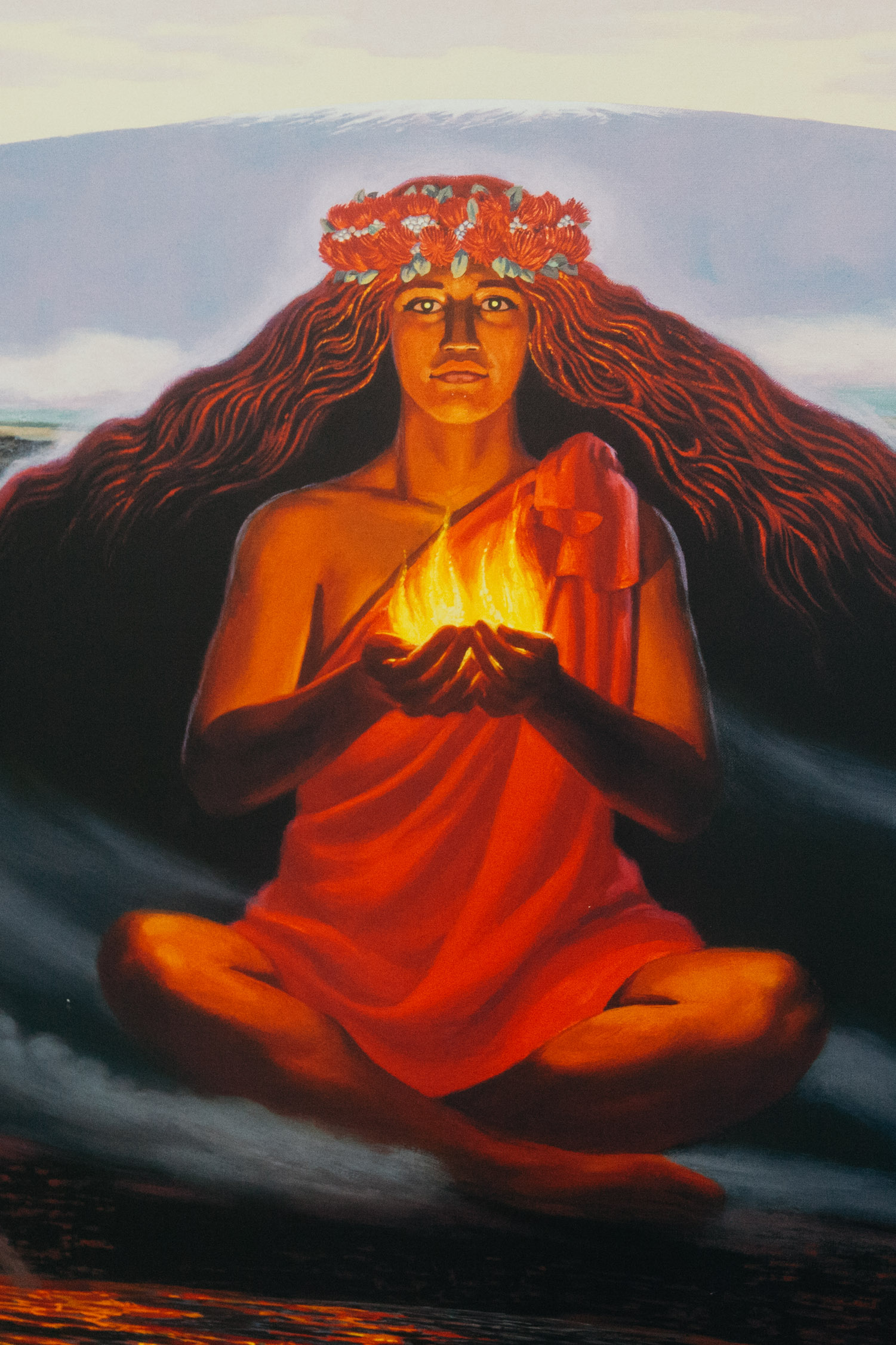
Pele, the goddess of fire, and volcanoes, and the creator of the Hawaiian Islands. All the representations of her are amazingly beautiful.
Last stop, our hosts for the next nights: a sweet family of four—and a half. We are in awe in front of such kind and loving beings. We will sleep on the mezzanine, and the girls love having a Ballerina in their house.
Good night, coquí frogs!
Day 13
Hilo
We rise and quickly make our way to our favorite meal of the day: breakfast!
The Tin Shack Bakery is our new spot. It was founded by our hosts (Noelle and Matt), and she is actually the chef there, creating and perfecting the recipes. All is made in-house, and is so special that our taste buds get overwhelmed. Cinnamon roll, potato bun, and fresh coffee from the Island. We could spend the day here and fill our bellies with all the goodness that comes out of the ovens of that simple-looking bakery.
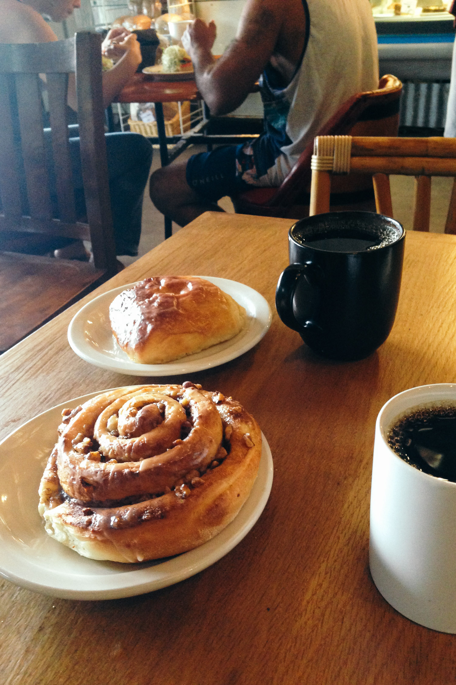
Potato bun and cinnamon-pecan roll. We love you, Tin Shack Bakery!
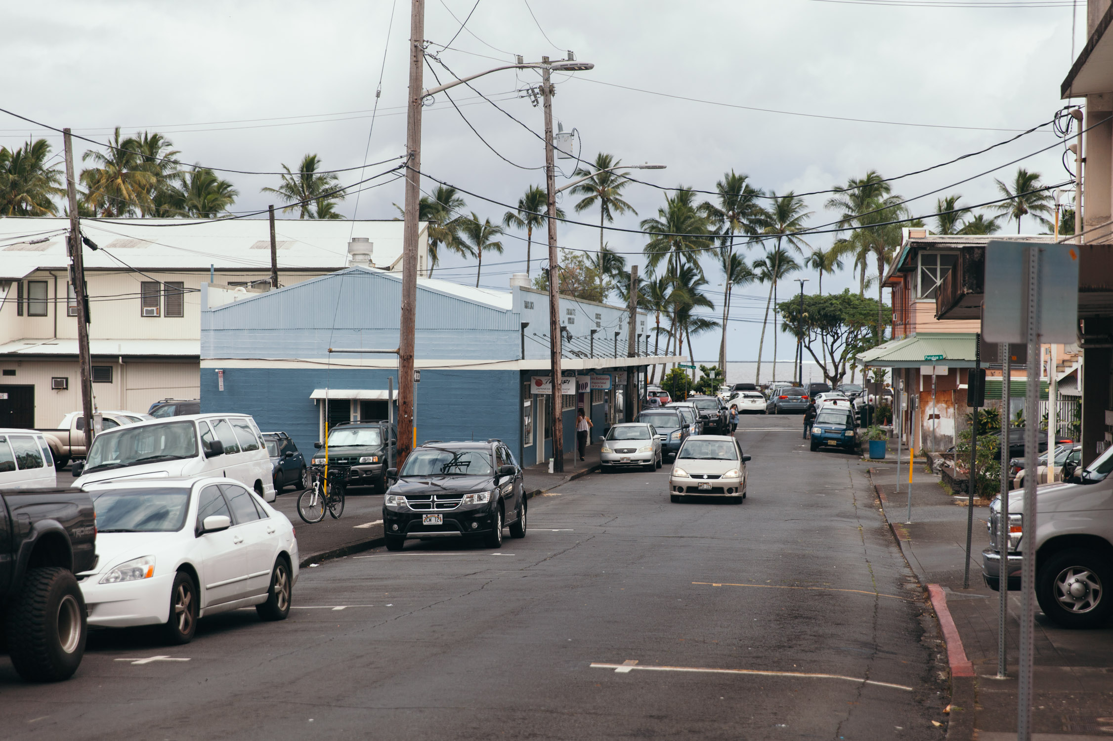
The adventure of the day goes to visiting Hilo, the main hub of the Eastern of Big Island. A fairly large yet charming city. Main Street, farmers’ market, Pacific Tsunami Museum, waterfront, thrift stores … we take kind of an easy day.
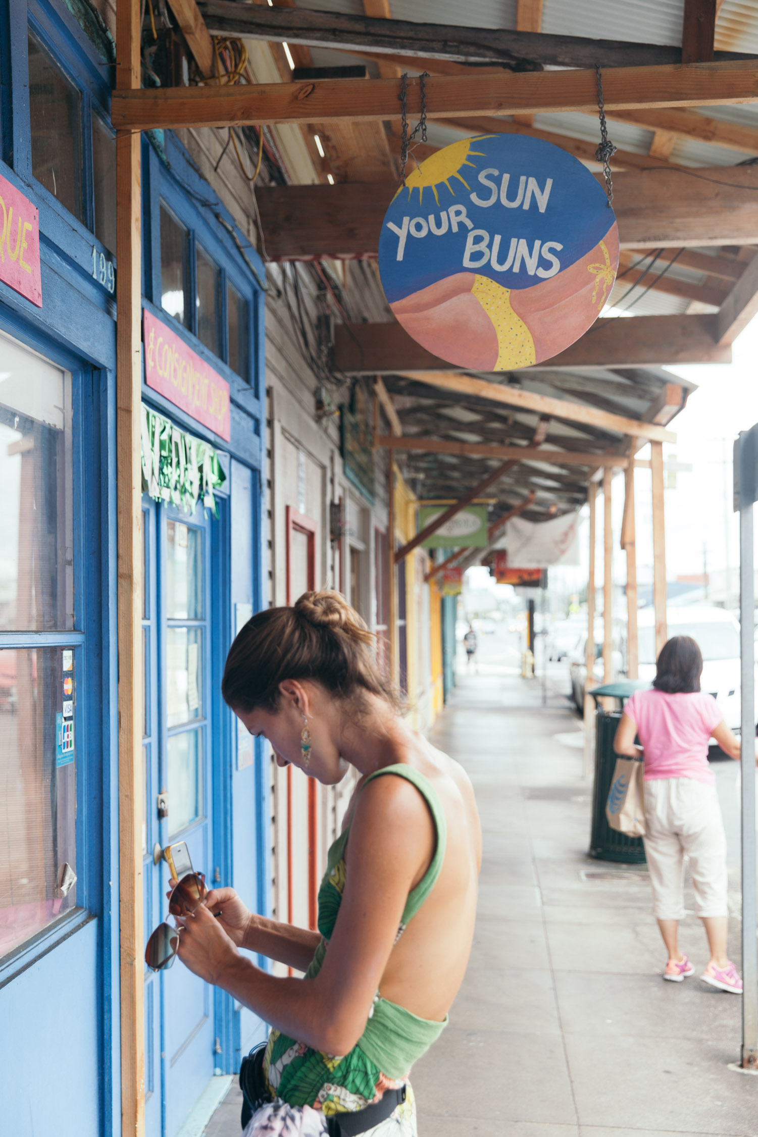
“Sun your buns”. Love it!
We stack up on goodies, we are planning to cook for everyone tonight, and pack the car with coconuts found on the way.
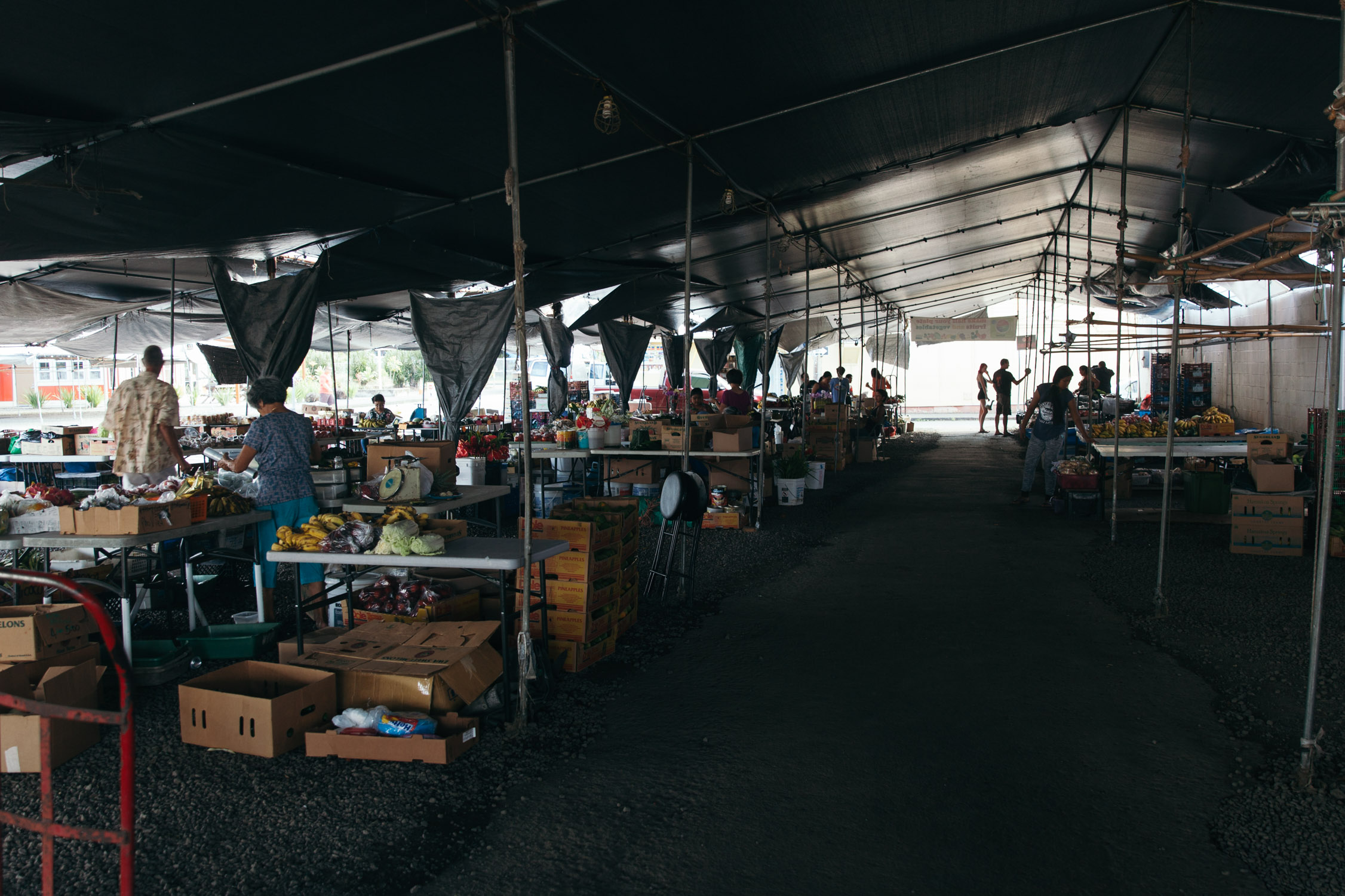
An open-air fresh-food market in Hilo

One last stop on the water at Wailoa River State Park, before heading back to Pāhoa. A calm and refreshing break in front of the gentle waves and pools in the lava rock. We could stay here for hours, eyes closed, just letting our mind drift away with the sound of the water.
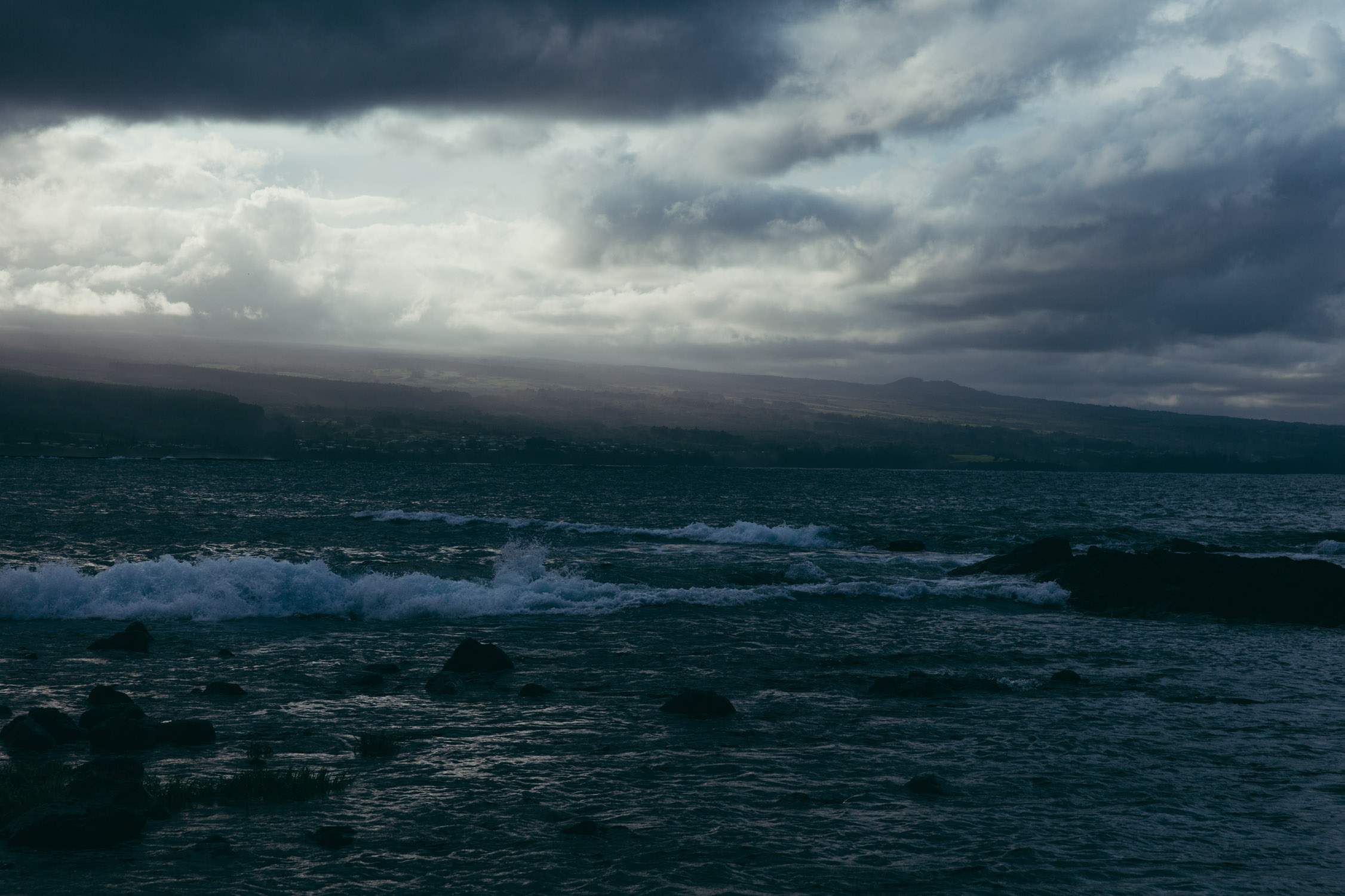
So intense.
And so calm.
We drive home with a stack of coconuts found along the road, and cook a nice végé dinner for everyone. Good food and stories around the table.
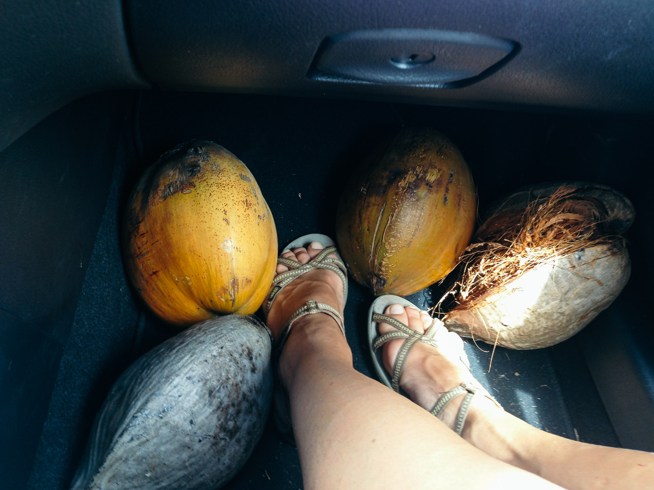
We’ll have to eat them all!

The Saucier, assistant, keeping an eye on the diced tomatoes. (can you spot him?)
Day 14
Lost in the volcano
A “day-off” is nice, but one is enough! Let’s get back to our life of adventures!
The morning starts with an essential oils, ointments and balms class. Noelle demonstrates the process, using different flowers and herbs: Arnica, Dandelion Leaf, Plantain, Nettle Leaf and Elder Berries. We are also into natural products, and are eager to learn those new skills.
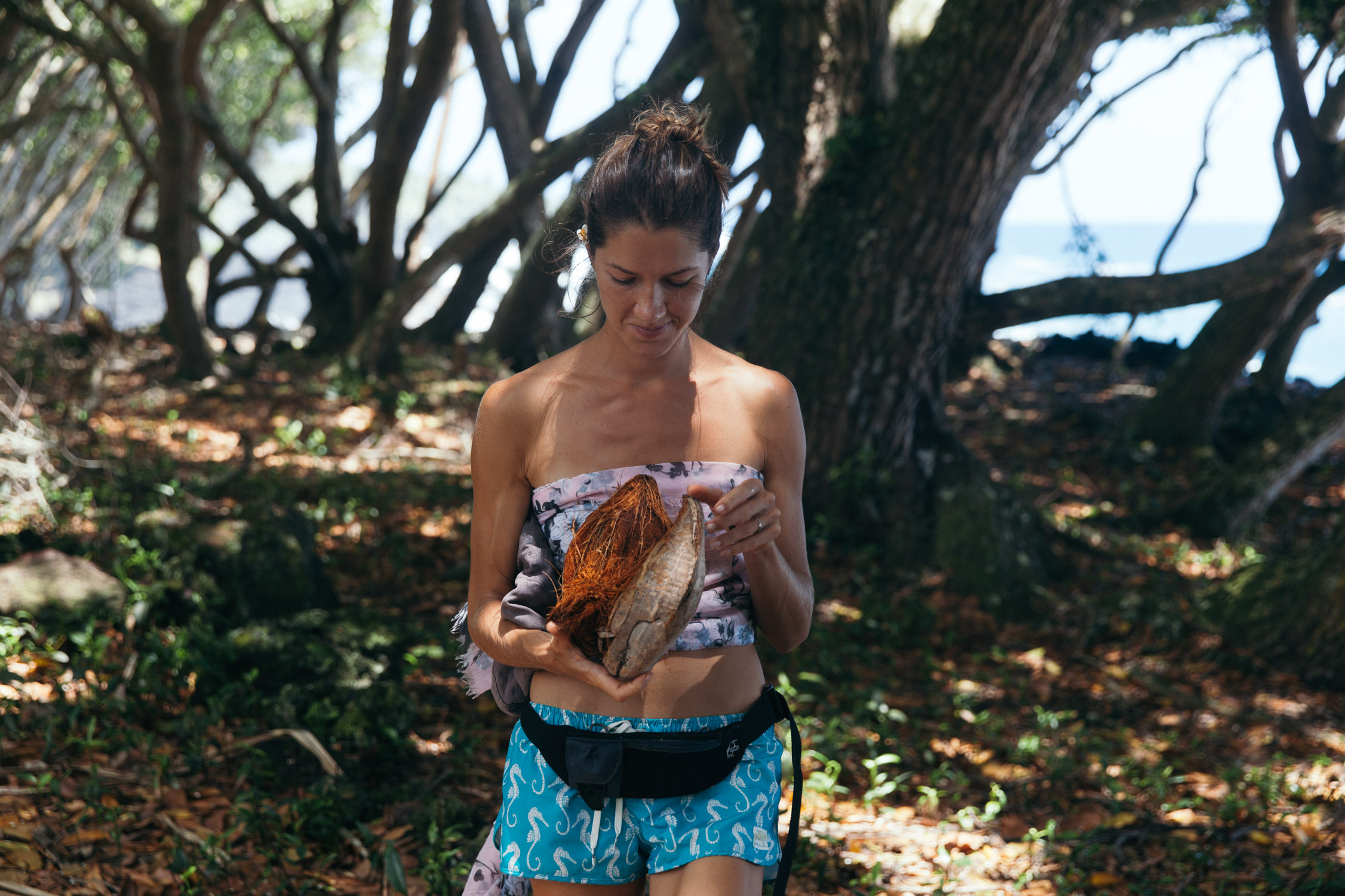
The second part is a workout that focuses on the upper-body with one complete exercise: opening coconuts. Machete in hand, the toughest challenge is to tear open the husk and remove it. Its softness and bounciness makes it hard to cut, as its mass of intertwined fibres and mesh hugs the seed tightly and doesn’t want to let go.
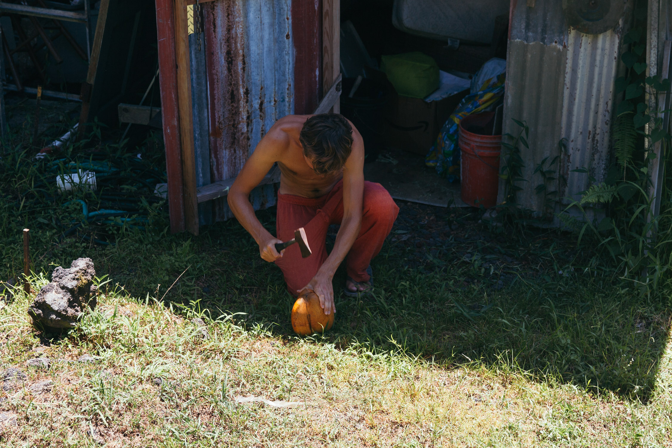
Trying to cut through the husk …
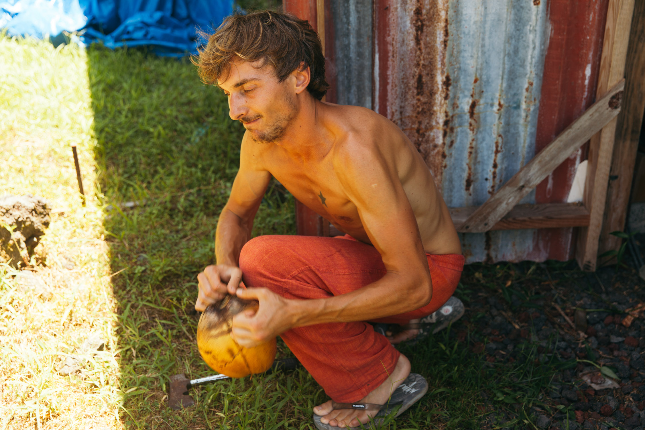
… and tearing it apart …
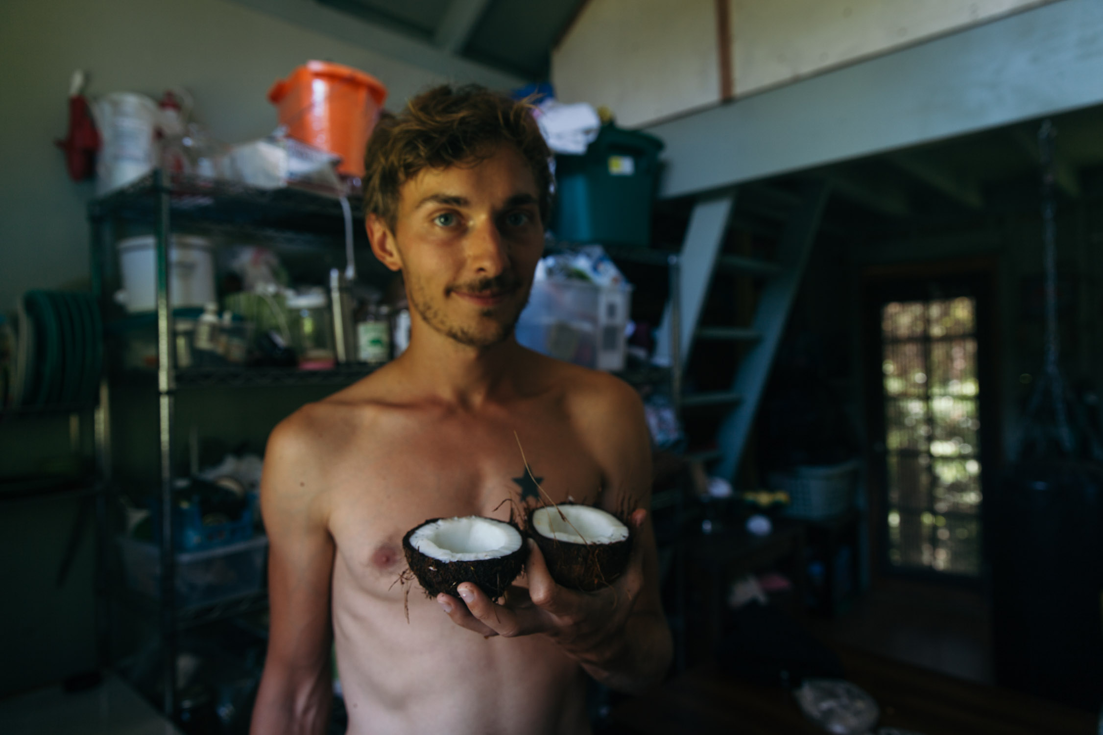
Reward! Fresh from the tree.
After the sweat comes breakfast time, and our second day at the Tin Shack Bakery (we could set the tent outside). The deliciousness of it all makes it hard to choose what to try, and impossible not to want more.
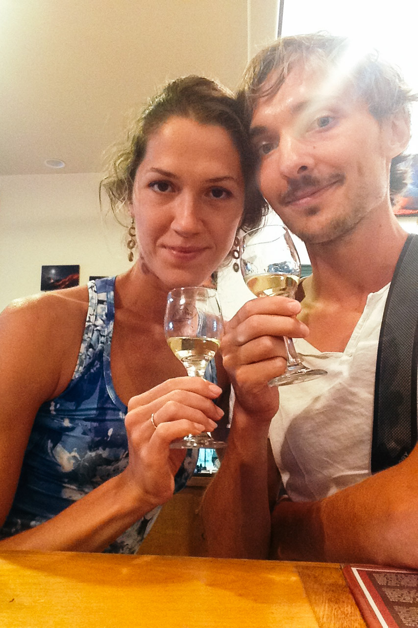
Today, we are visiting volcanos. It’s all going to be about lava, rocks, dryness, rough landscape, and … wine! Yes, we take the car to go to the Volcano Winery. Those vineyards are famous in Hawaii for growing their grapes onto the volcano slopes. The lava soil is fertile and rich. We opt for a wines-and-liquor formula. Tasty, round, yet not the “wow” effect I expected. The Hawaiian Guava-Grape is still my favorite. A fruit blend of white grapes and local guavas. YUM!

That kept us busy from 3 to 5pm.
It is invigorated that we go explore. Yes. Gates of the Hawaii Volcano National Park, the entrance fee is valid for a full week. Sweet! We head to the Kīlauea Iki crater. The story of this one is quite modern and fascinating. The last eruption is as young as my dad: 1959. Back then, a swarm of earthquakes gave clues that the summit was filling with magma.
Some of the most impressive parts of the eruption were the lava fountains that flowed from Pu’u Pua’i. By November 17, the fountain was reaching 200-260 ft tall with occasional bursts as high as 600 feet. The fountain grew to over 1,050 ft on November 18. On November 21, the lava lake was over three feet deep over the vent causing ripples across the surface of the lava lake causing lava on the shores to break like waves on a beach. At 7:25 p.m. local time on November 21, the fountain went from 700 ft tall to a few gas bubbles in less than 40 seconds. Some of the fountains were extraordinarily high, reaching nearly 1,900 ft, among the highest ever recorded.
— Wikipedia#2
The ground above the empty magma chamber collapsed, giving birth to the pit crater we see today.
Impressive, no?
There is a hike that goes around half of the crater through a rainforest, then down into it and crosses its still steaming 1959-lava-lake.
It’s 5:30pm, the day is almost over, but we do not let that fact discourage us.
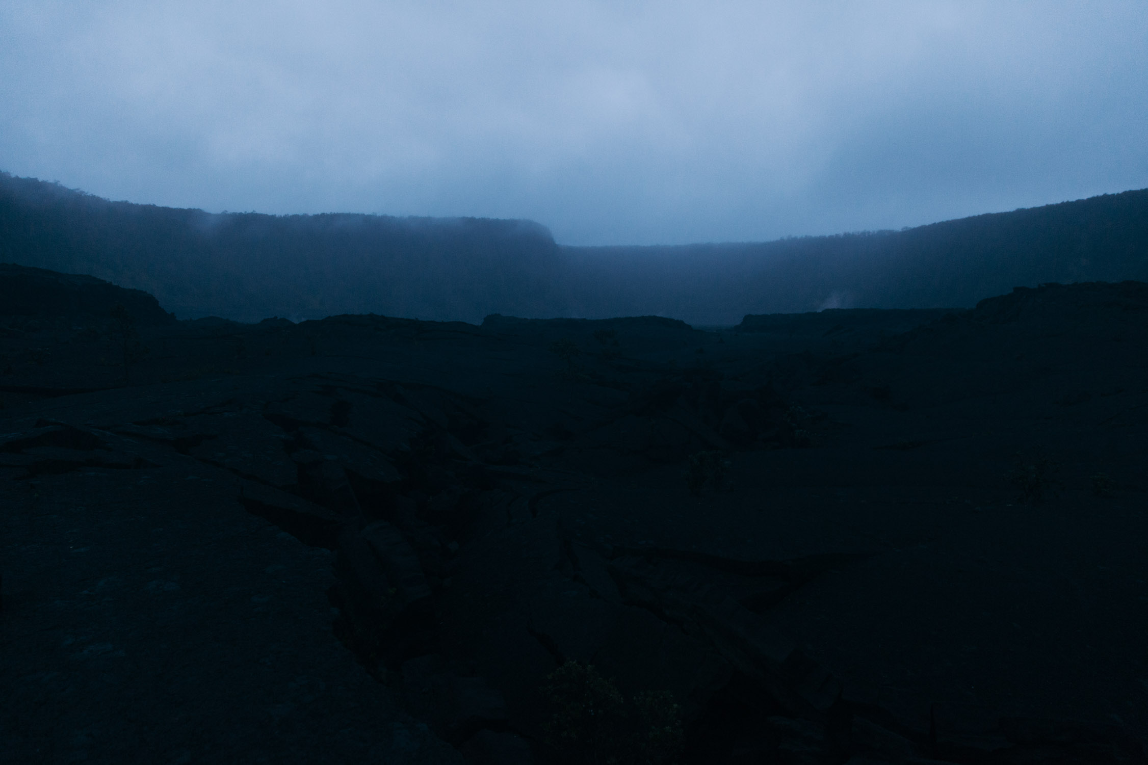
We start hiking and come across the usual stunning contrasts: from the green and lush rainforest, full of singing native birds, into the black, “dead”, desolate basin. We are amazed to be in such a peculiar, simple, yet powerful place. Nobody’s around, we are the last ones crossing the crater today. The landscape also calls for a creative photo shoot, and we oblige.
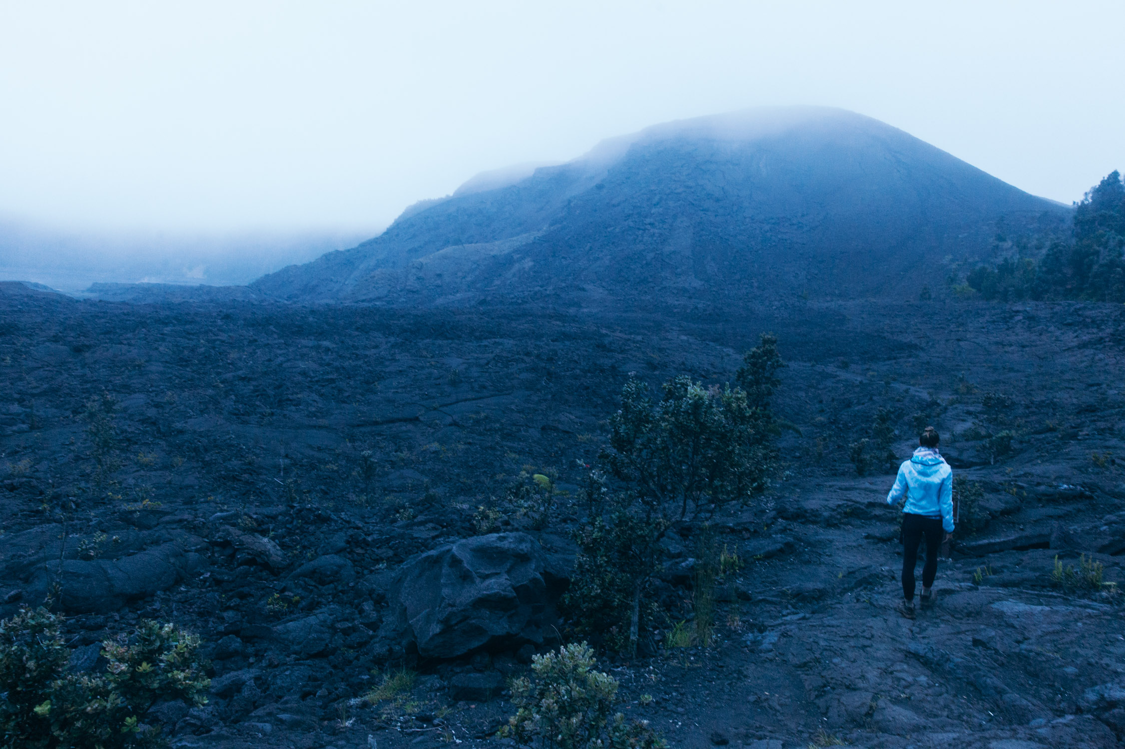
Entering the crater.


The last car is leaving from the top of the rim. We are now alone.
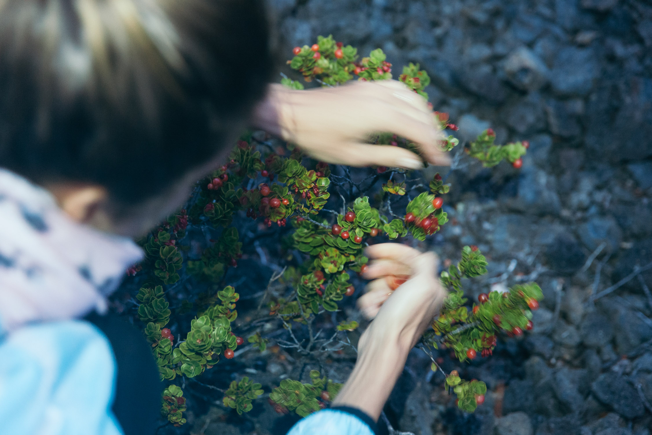
Somebody told us the berries that grow in the crater are edible and delicious. And because most of the tourist don’t know that, there are plenty of them for us!
6:30pm, the Sun slips down, as we just enter the “lake”.
Seems to get a bit dark …
We leave the main trail, flattened onto the lava rock by the steps of fellow hikers over the decades, to come close to one of the vents. Still boiling, from the rainwater reaching the hot rocks down into the ground. Burning, humming. There is a forceful natural power here below. And it seems to be alive. Amazing.

Vent (or crack), humming and blowing boiling steam.
Impressed.
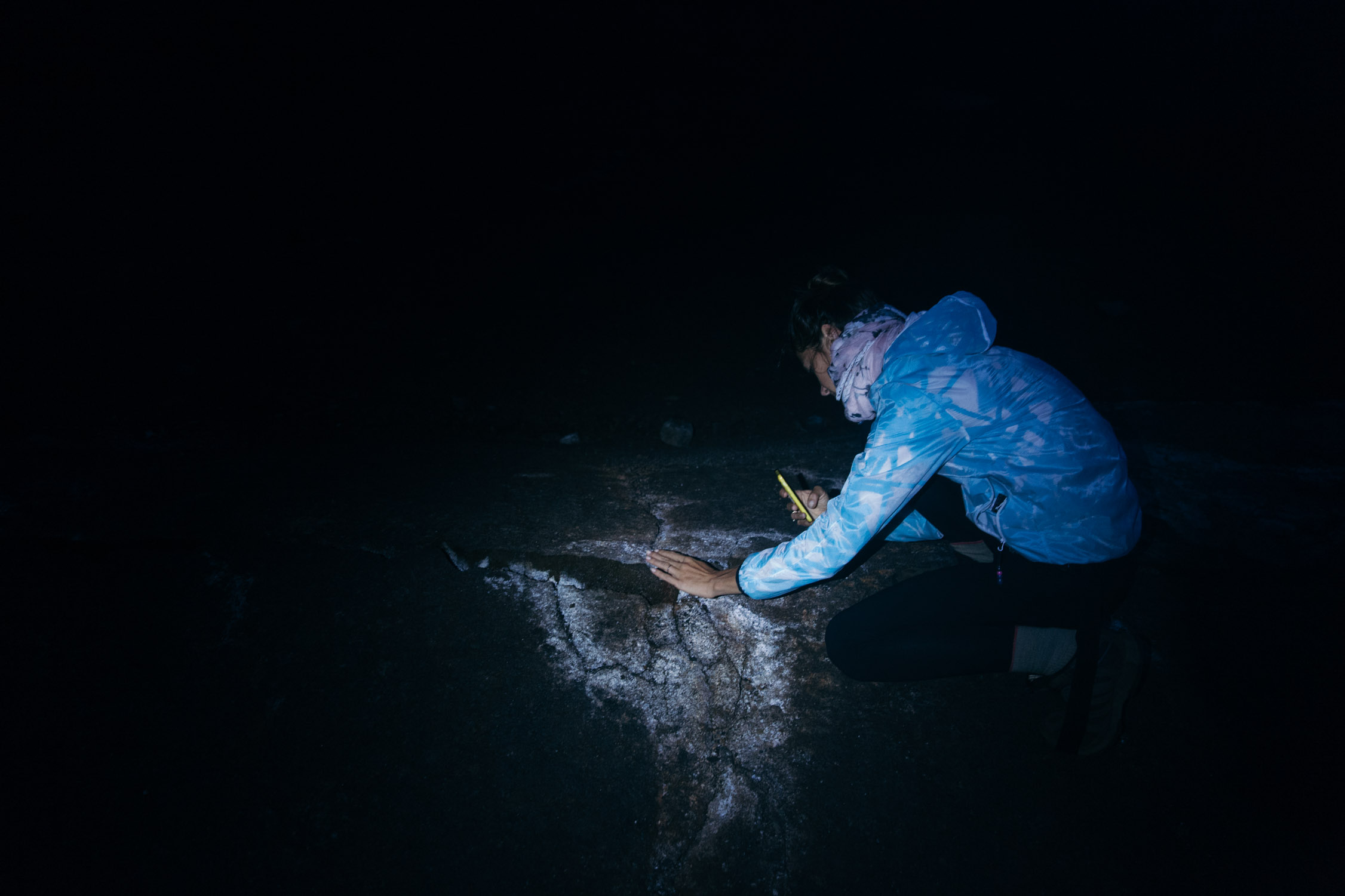
Night falls upon us quickly under these latitudes, and we find ourselves in the middle of the lava lake in a pitch-black night.
Even though Ahu (stacked rocks) mark the trail across the crater floor, it’s now impossible to spot them, even with our flashlights. Everything is black: terrain, contours, Ahu… and nothing really catches the light behind a 10 ft distance. I keep my calm and stay mindful of the situation. We have only one option: walk in a straight line, forward, until we reach the wall of the crater. Then follow the rim until we find the trail that climbs back up. Nobody is around, and there is no cellular reception down here. And nothing visible for us to find our bearings.
We want to be out of here, but quickly learn not to rush. The beams of our headlamps fall here on holes in the ground that could accommodate our leg until the knee, and there on crevasses big enough for us to disappear into them.
We walk aimlessly-straight for some time, find a Ahu, then another one… and after 30 minutes of a blind hike, we are on our way up.

You, Ahu! We’re on the right path.

Back to the car, our last stop is to glance at the Kīlauea Caldera—that said, from a safe distance. The volcano is still active, and has been for a milleniums now. It emerged from the Ocean around 50,000 to 100,000 years ago, and has been spewing lava almost continuously (Kīlauea means “spewing” in Hawaiian, by the way). Since 1918, its longest rest was an 18-year sleep, between 1934 and 1952.
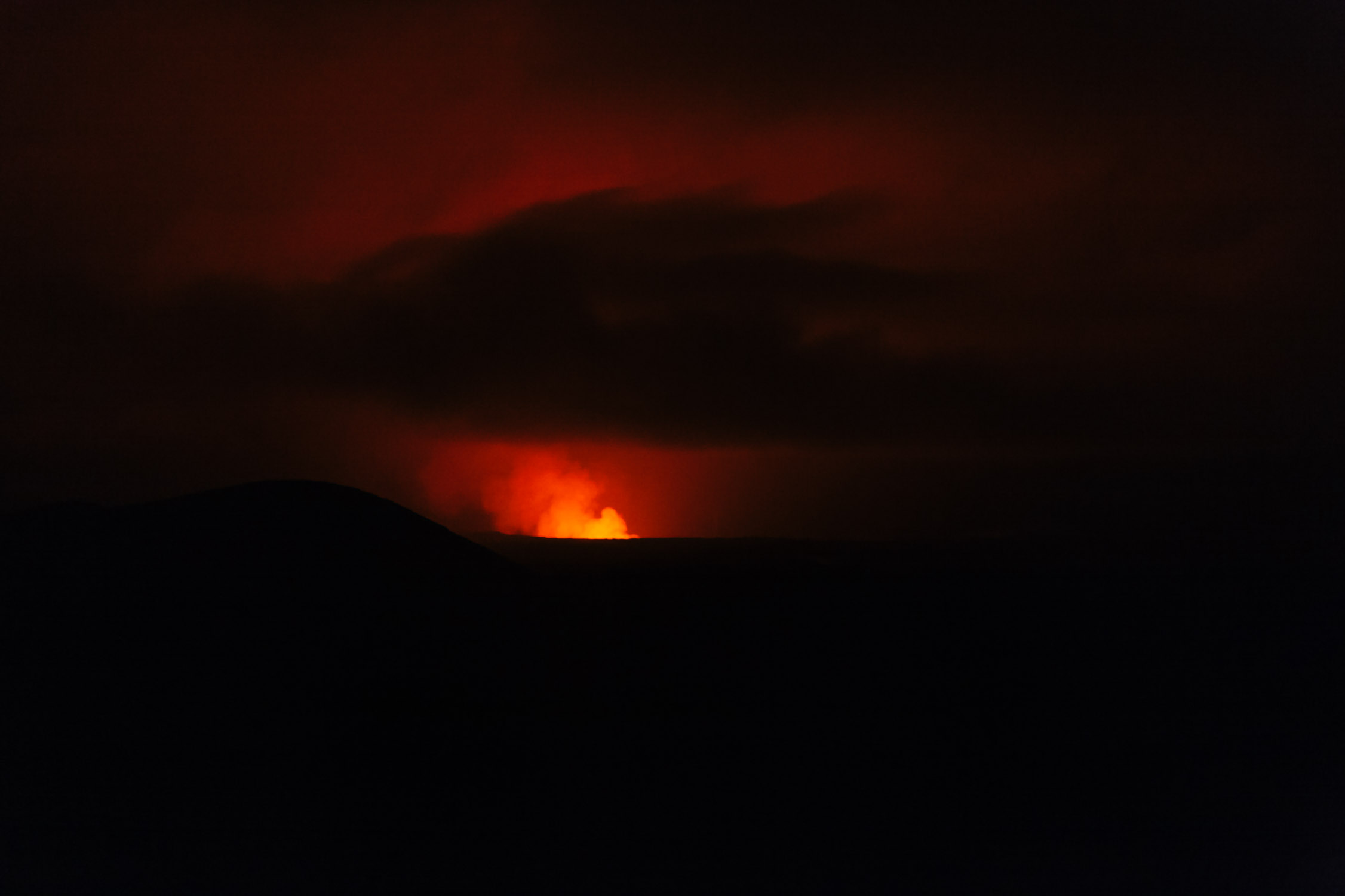
Getting closer…
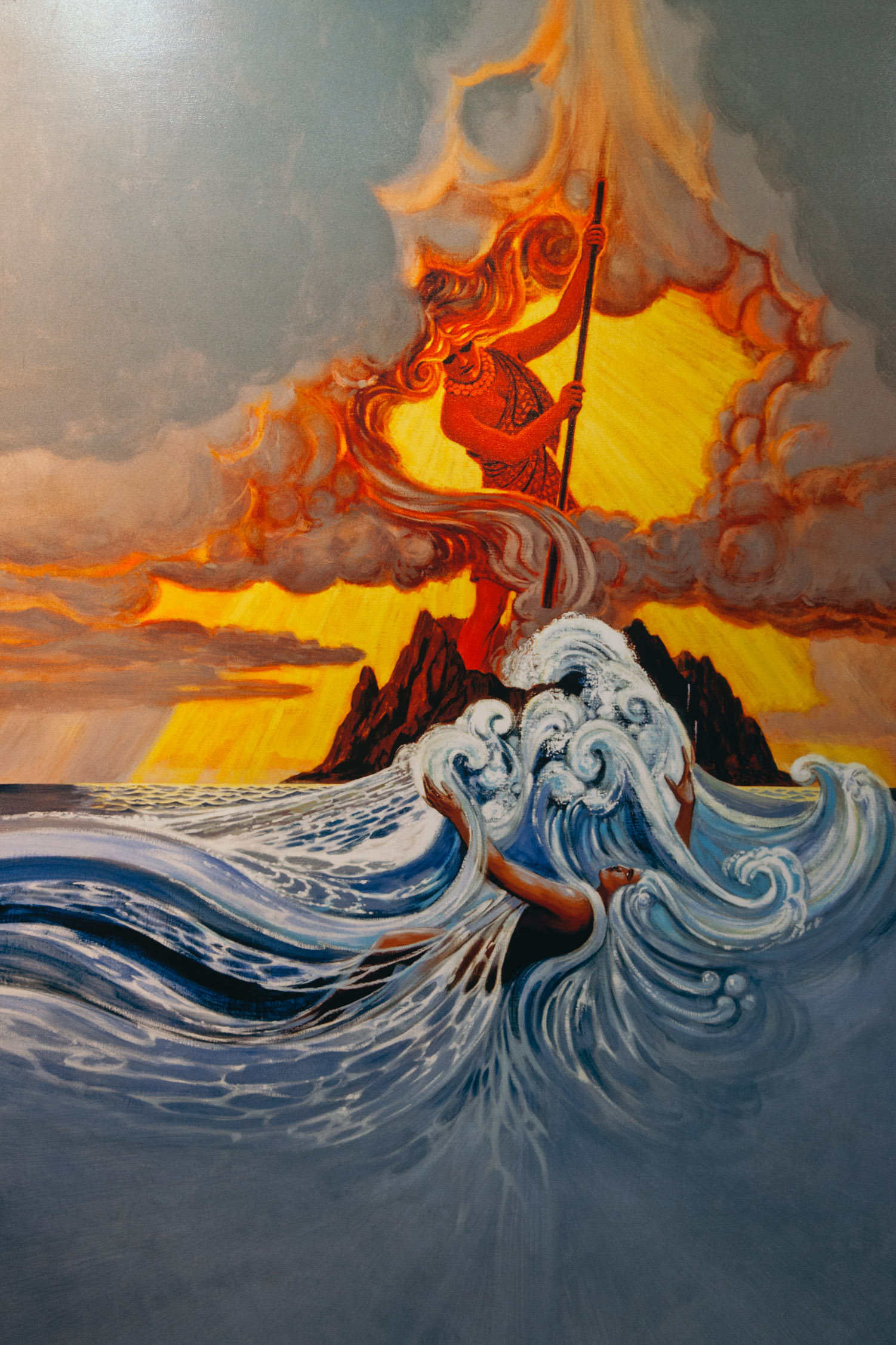
Beautiful representations from the visitor center.
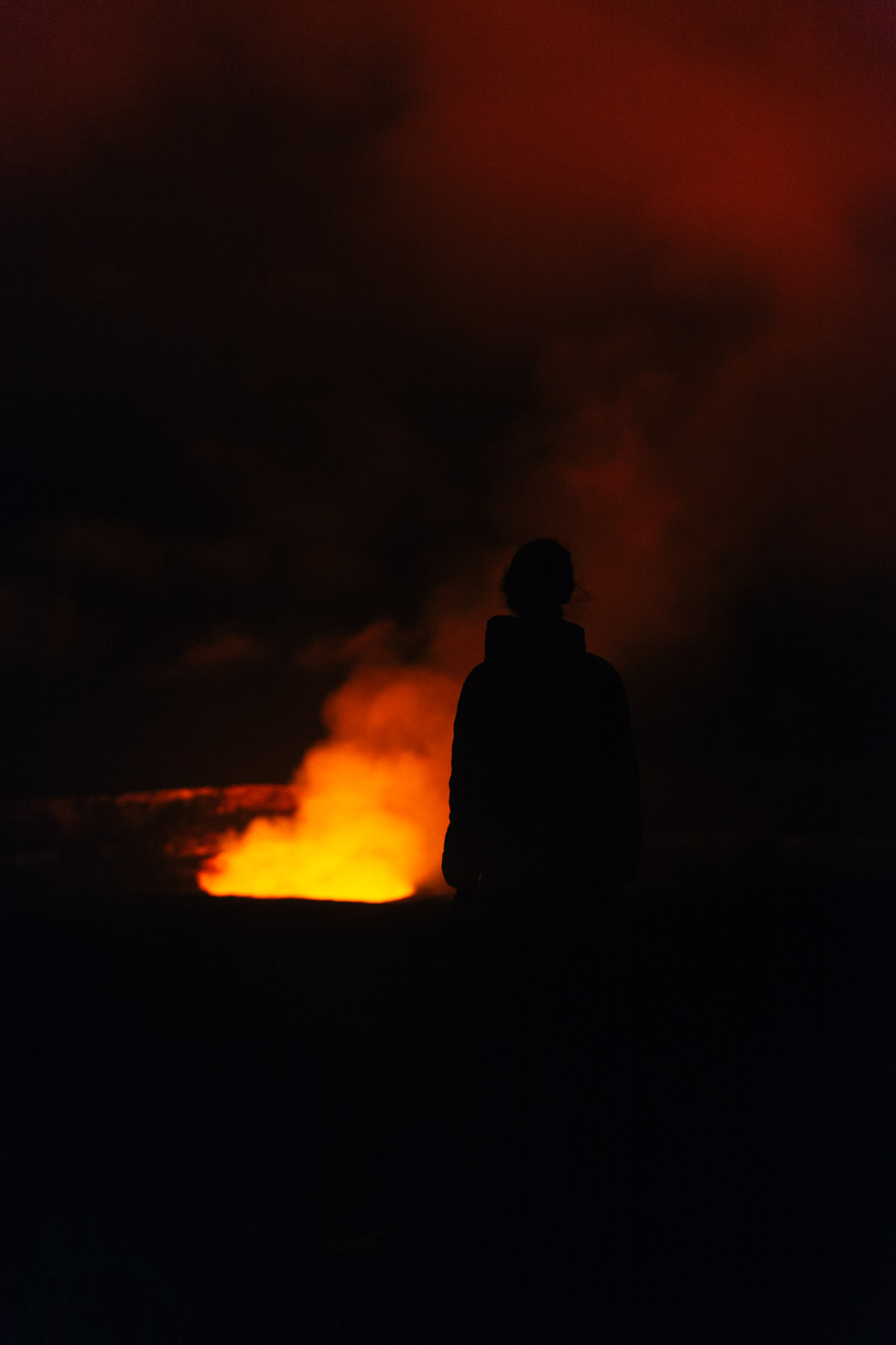
I could stay here for hours, just “feeling” this powerful and unseeable strength that colours our night.
Driving home under the clear night sky, and to a good rest.
Day 15
Pu`u Loa Petroglyphs
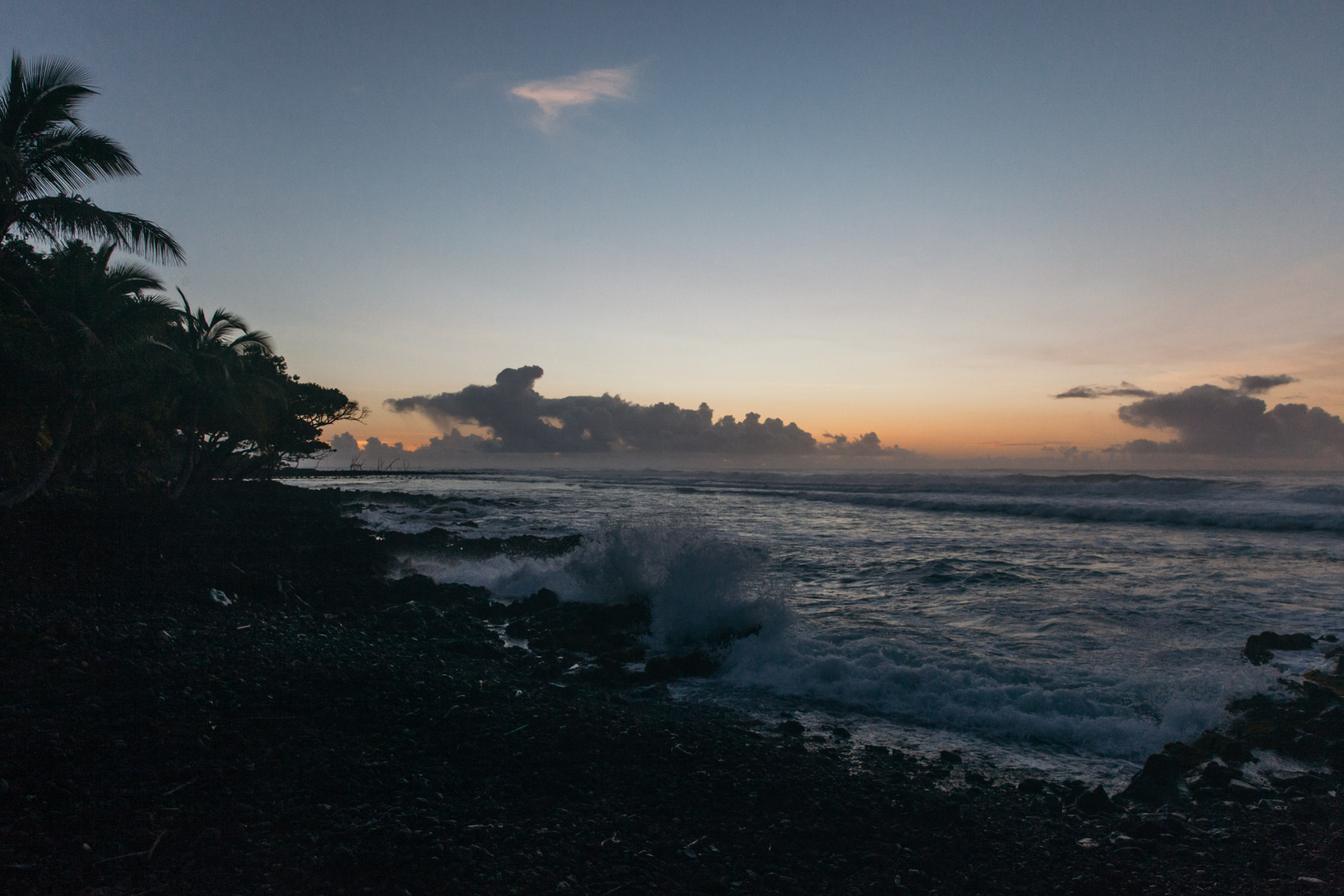
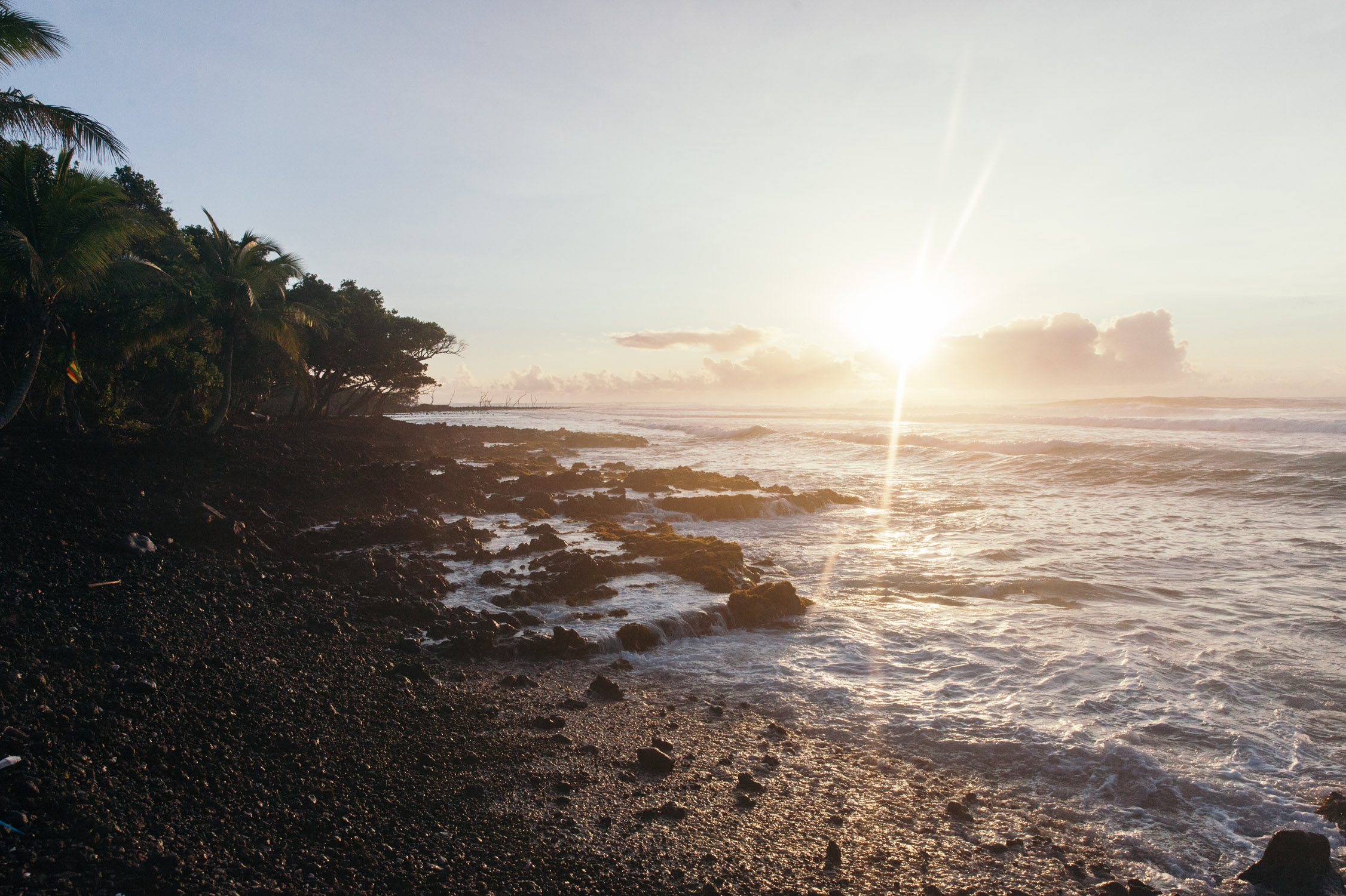
Our last day in Pāhoa and this part of the Island. We get up early and start with a ride down to the shore. Let’s meet the sunrise at Isaac Hale Beach Park! (note: this park does not exist anymore, it got covered with lava in 2018, as you can see on the map)

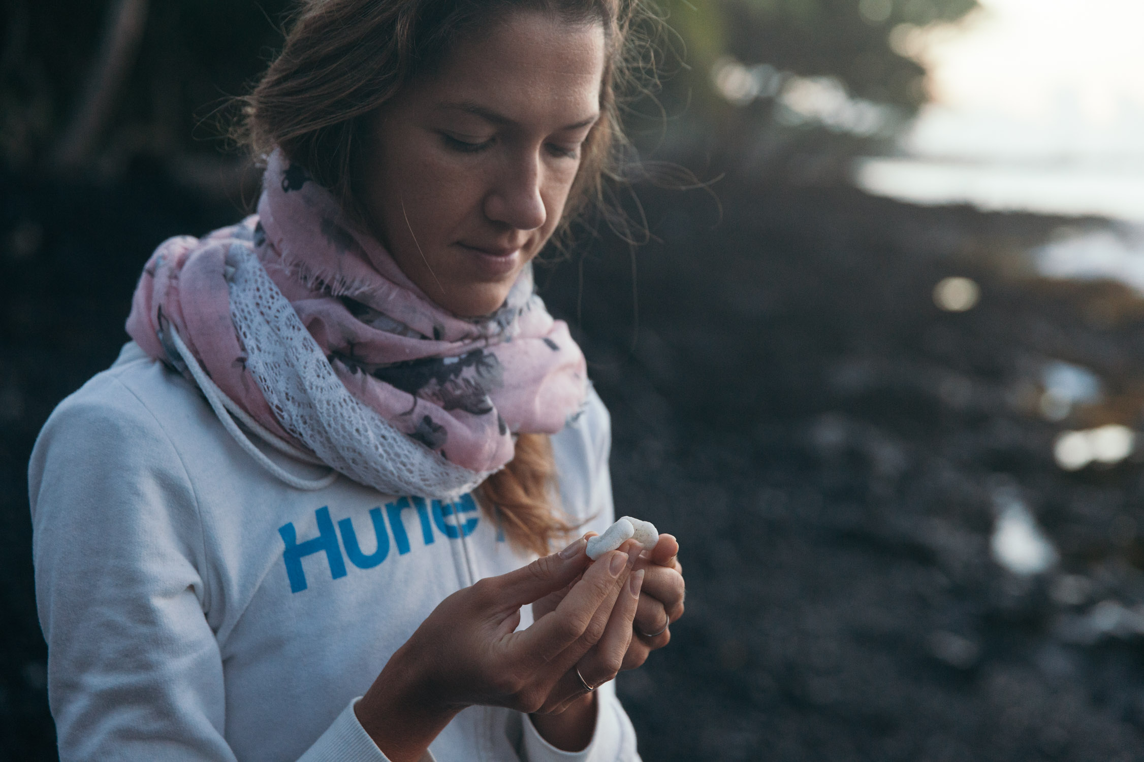
We’re in love with the black & white beaches. Coral + Lava…
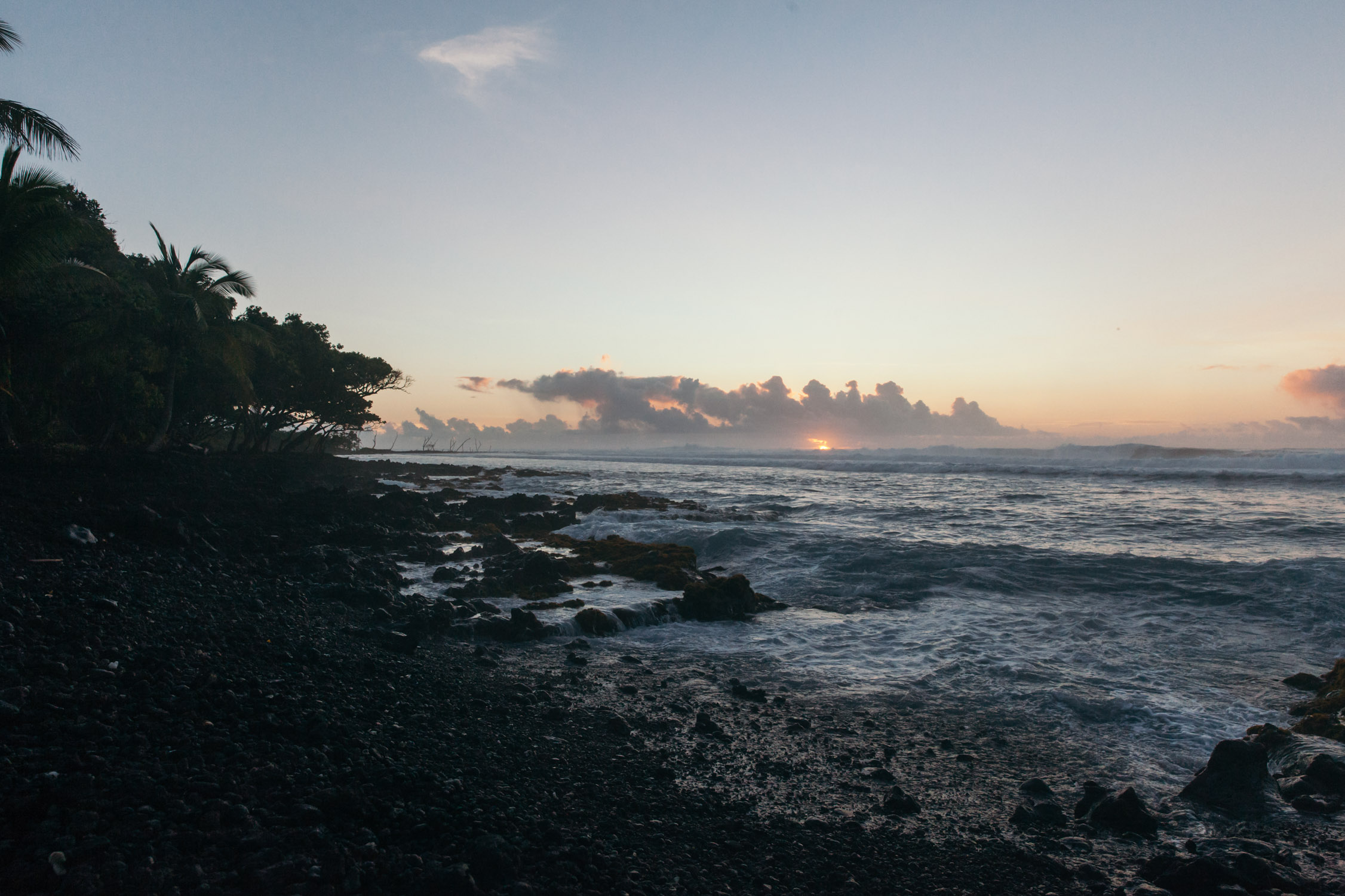
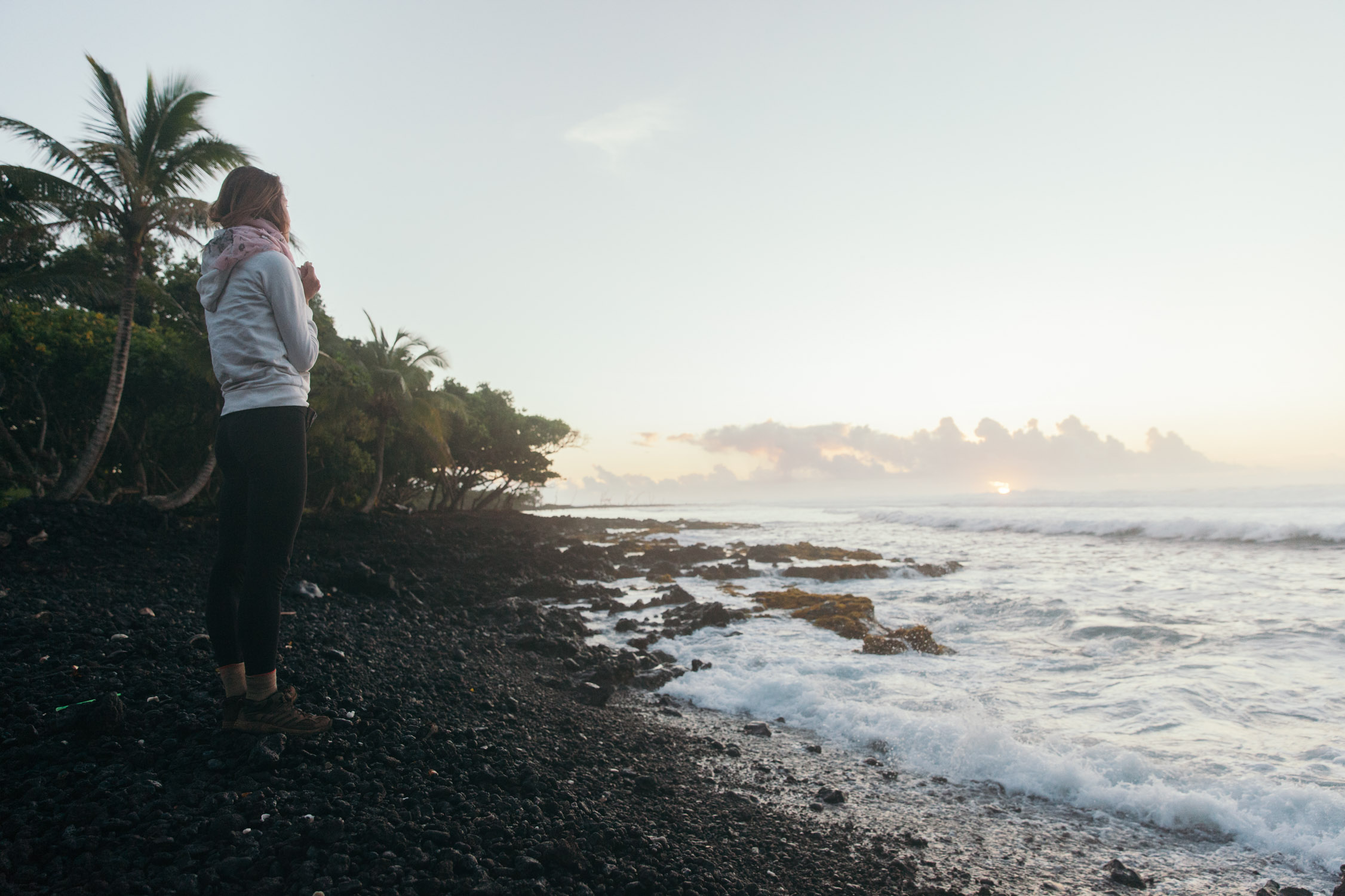
Meeting the sunrise
Today is Sunday, and to our greatest regret … the Tin Shack Bakery will not be on the menu. It’s closed!
There is one last thing we wanted to see, and that makes us go back to Hawaii Volcano National Park: the petroglyphs. We go through the park, and drive down the entire flank of the volcano, like going down a mountain. Rain meets us on the way, but clears as we lose altitude. The weather patterns are really interesting on Hawaii.
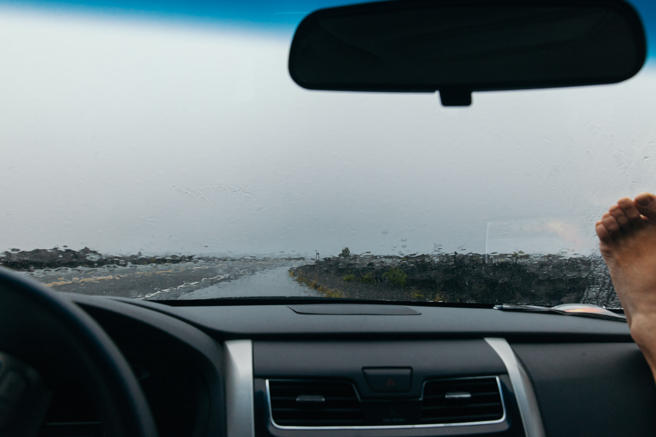
Waiting in the car, under the rain, because the fiancé wants to go out to take pictures
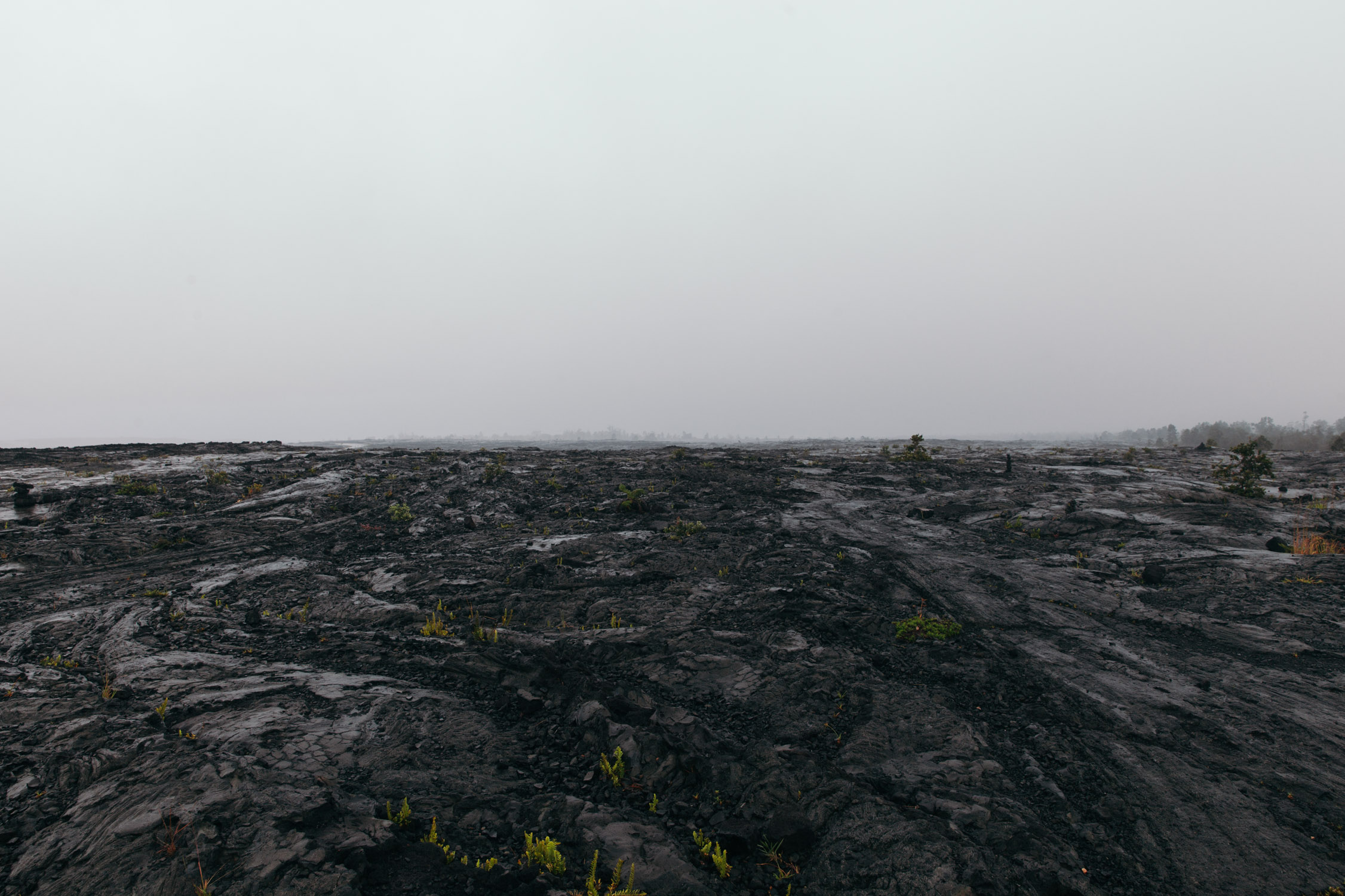
So desolate.
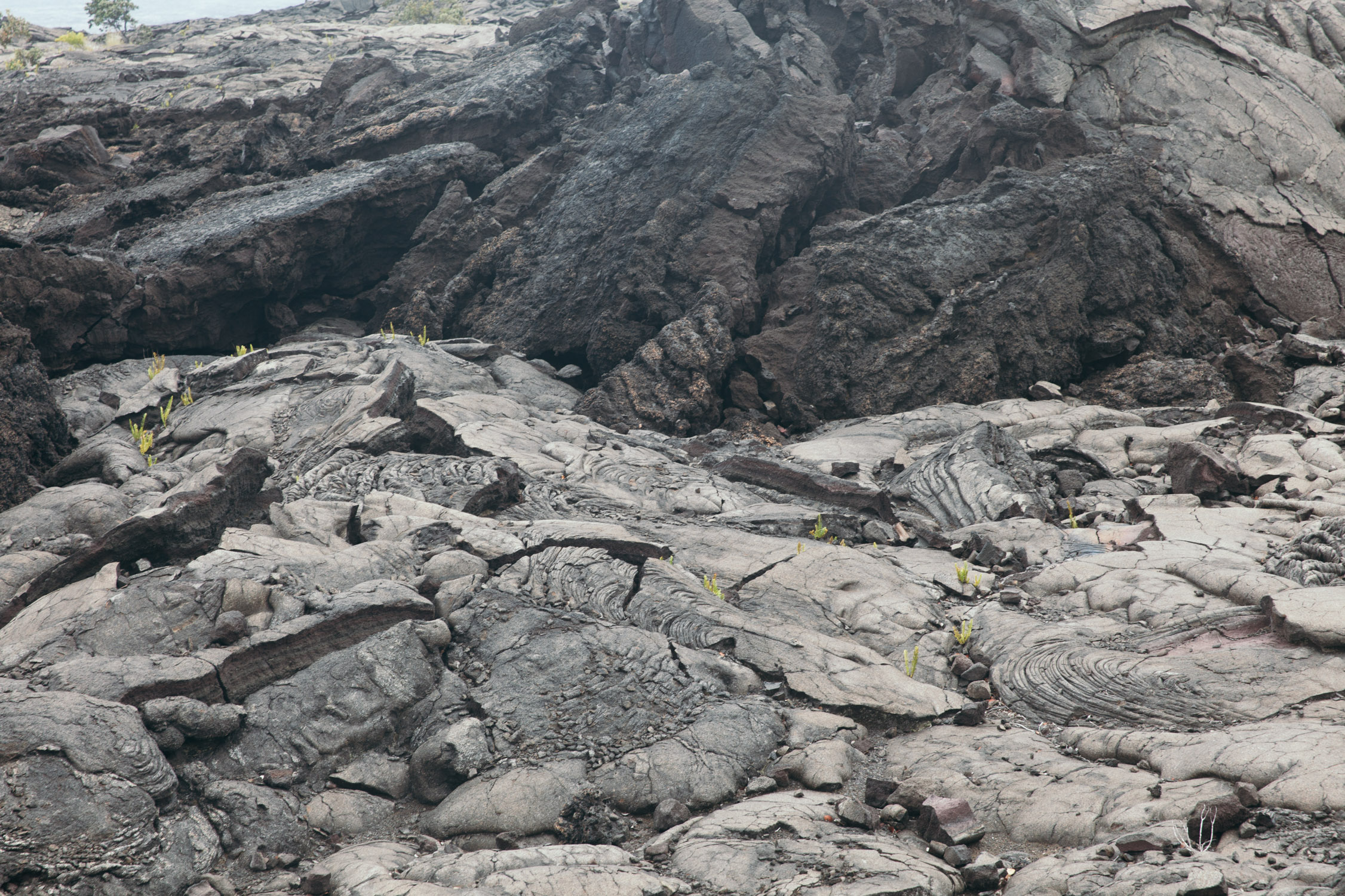
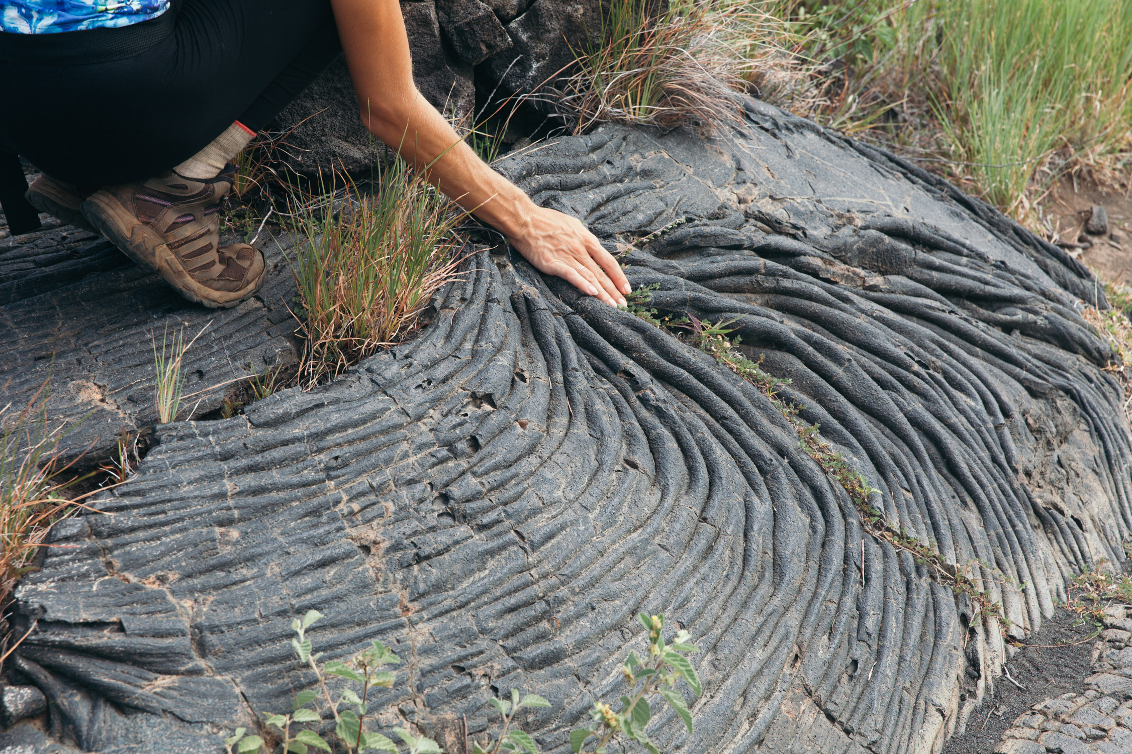
We stop on the shoulder to take some more pictures, and really get close to some huge lava formations. The flow and patterns are impressive, taking some drape shapes.
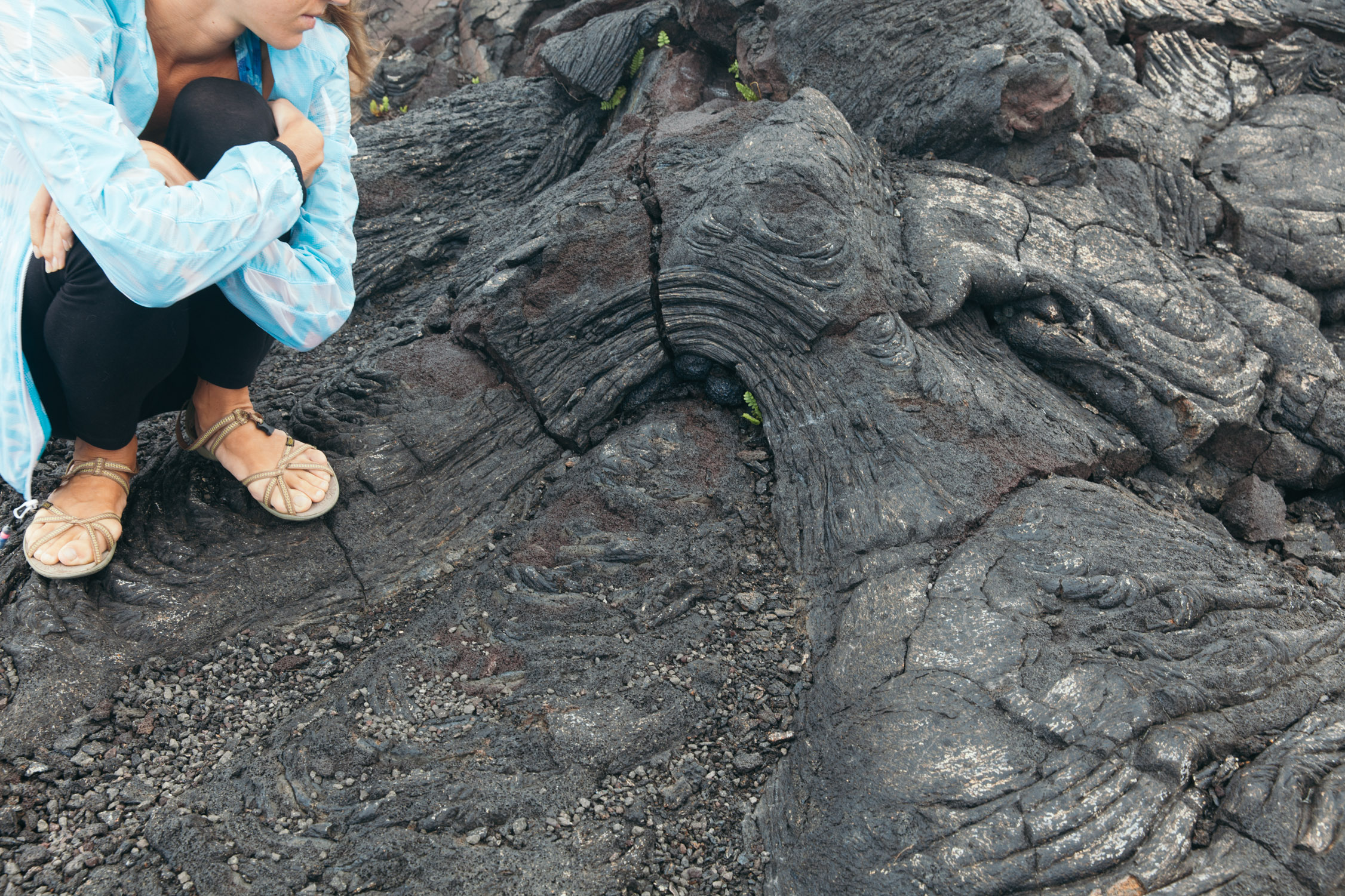
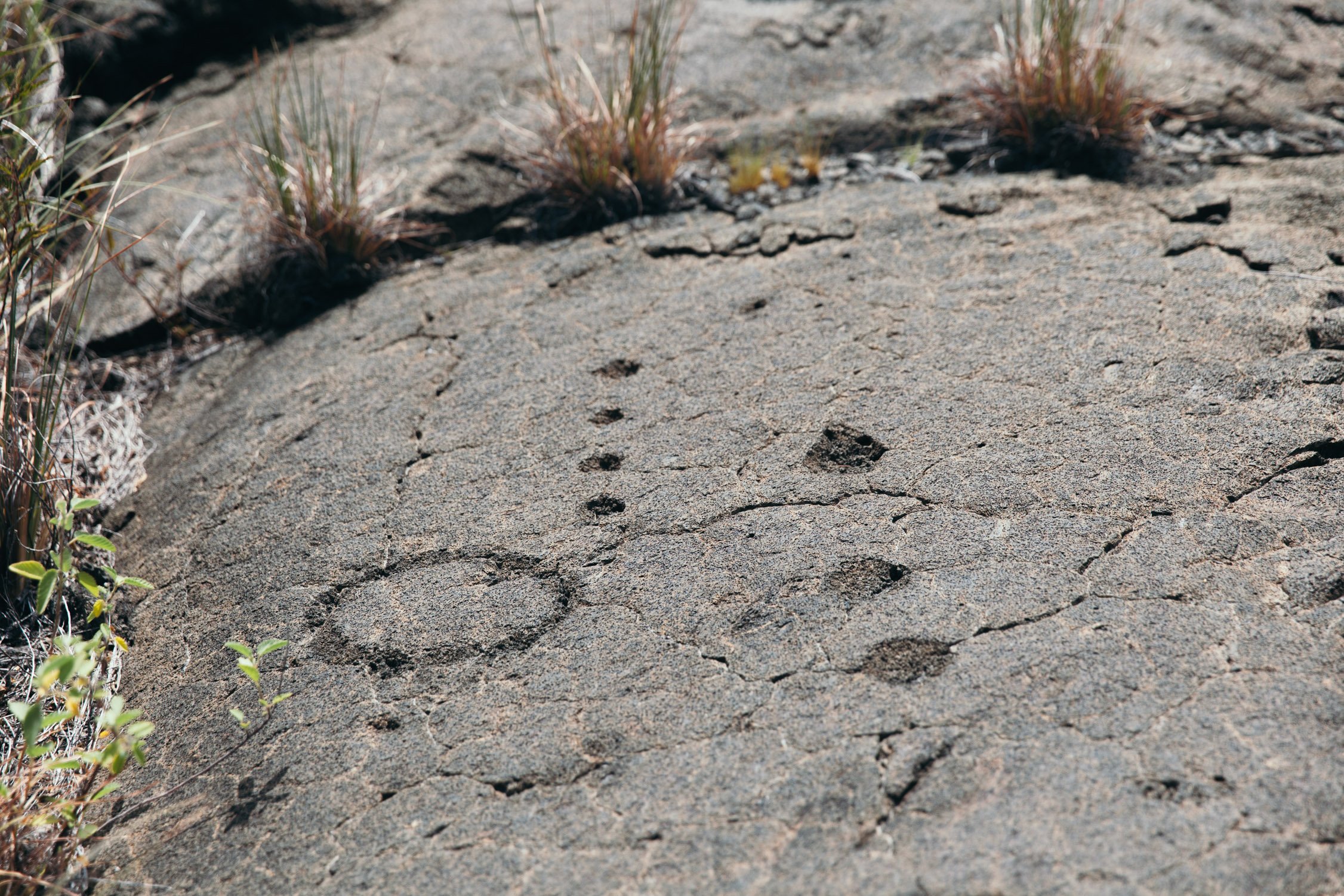
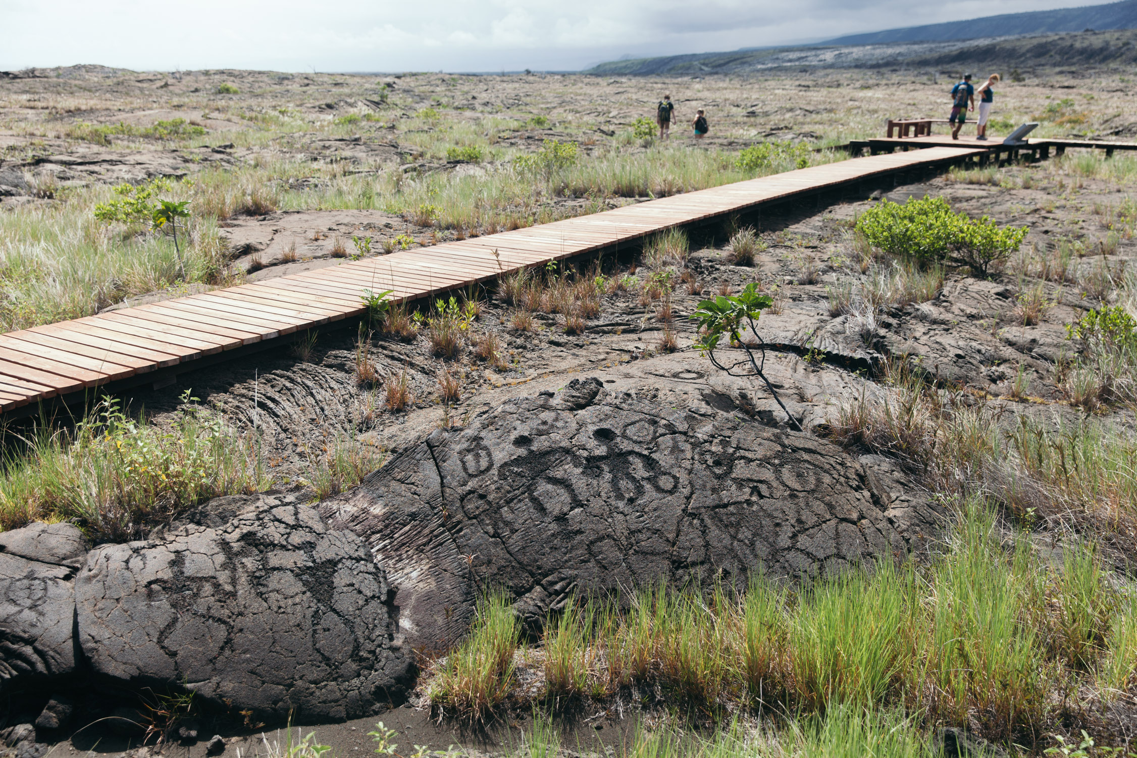
The Pu`u Loa Petroglyphs are waiting for us under a strong, bright, hot Sun. The petroglyphs are images or representations that have been pecked into the harden lava. The field here is the largest of the State of Hawaii, and contains over 23,000 petroglyph images. Pu’u Loa means “Long Hill”, but another interpretation would go to “Long life”. For generations, the parents would come to carve a hole in the lava, and put their newborn’s umbilical cord to ensure him or her a long life. One hole for a birth, hole in a circle for the first child of a family. The entire archive of the region lays down under our eyes. We stay in admiration in front of this beautiful heritage that has survived in this raw landscape.

I am sure you will enjoy this reading
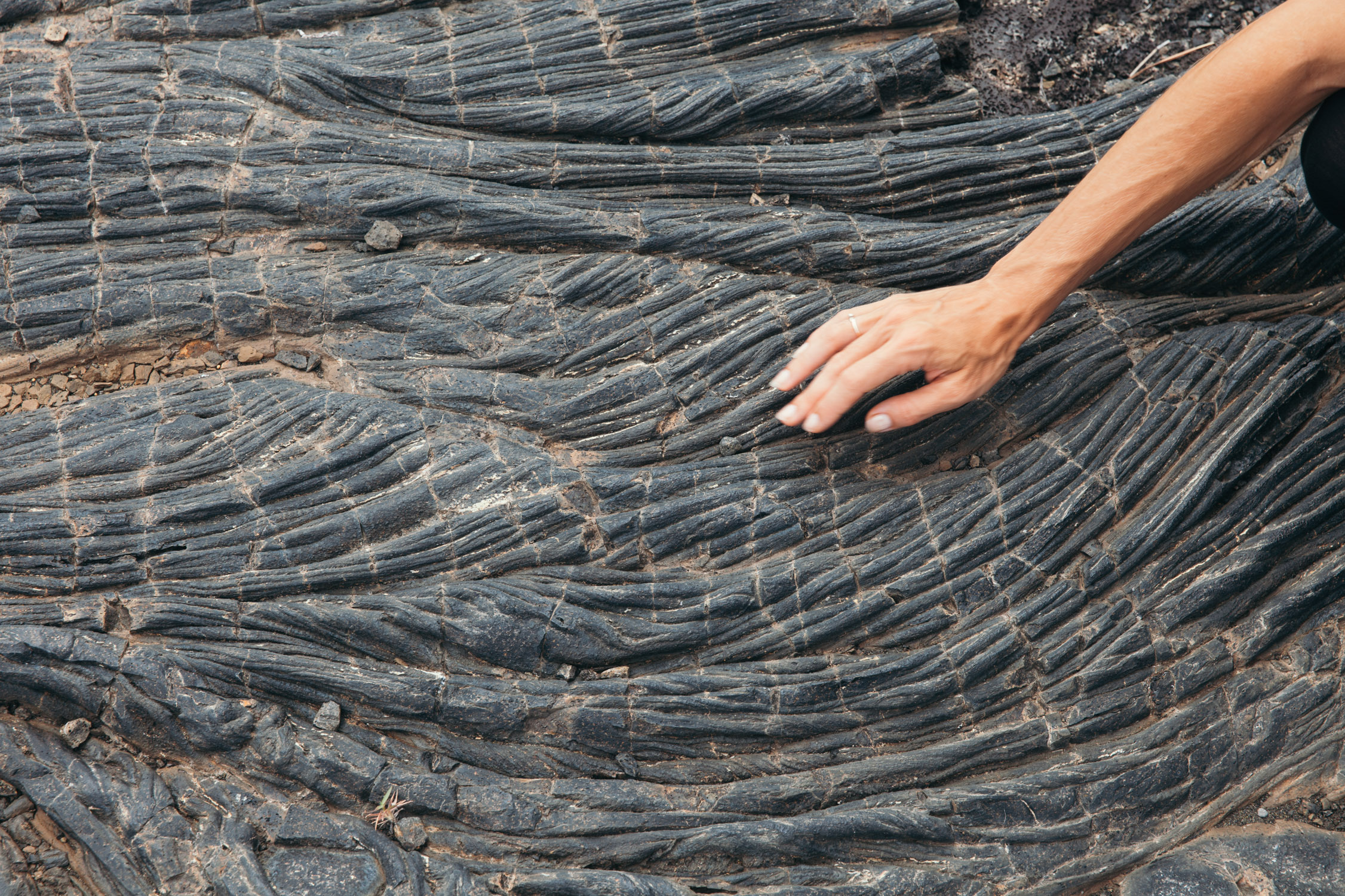
Again, some impressively beautiful lava drapes
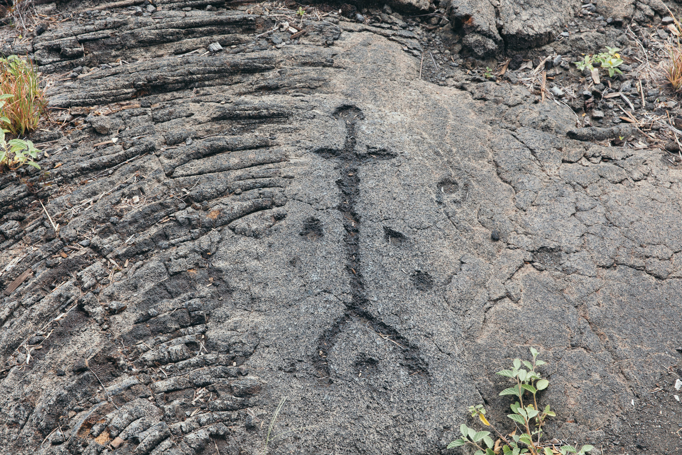
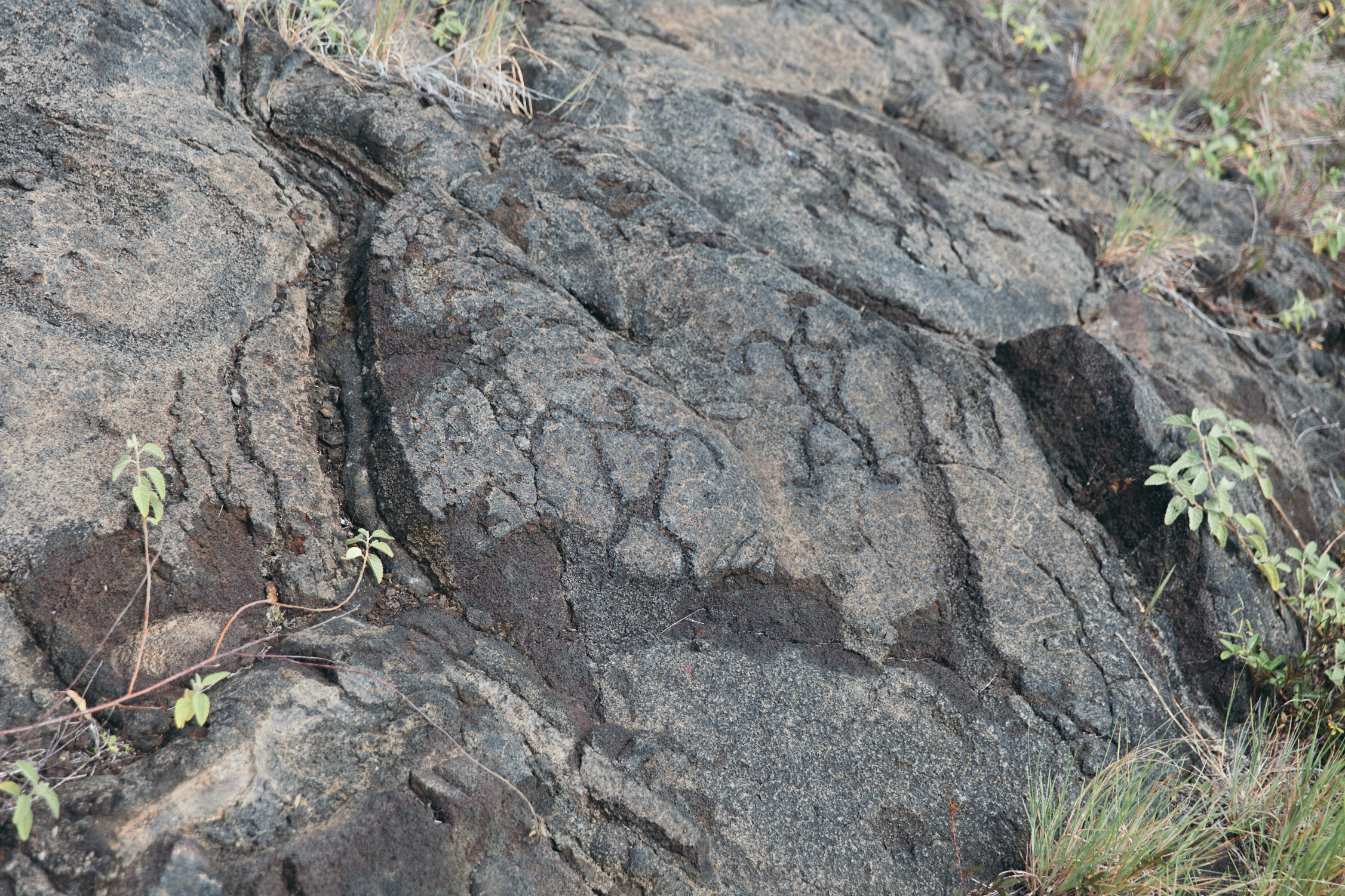
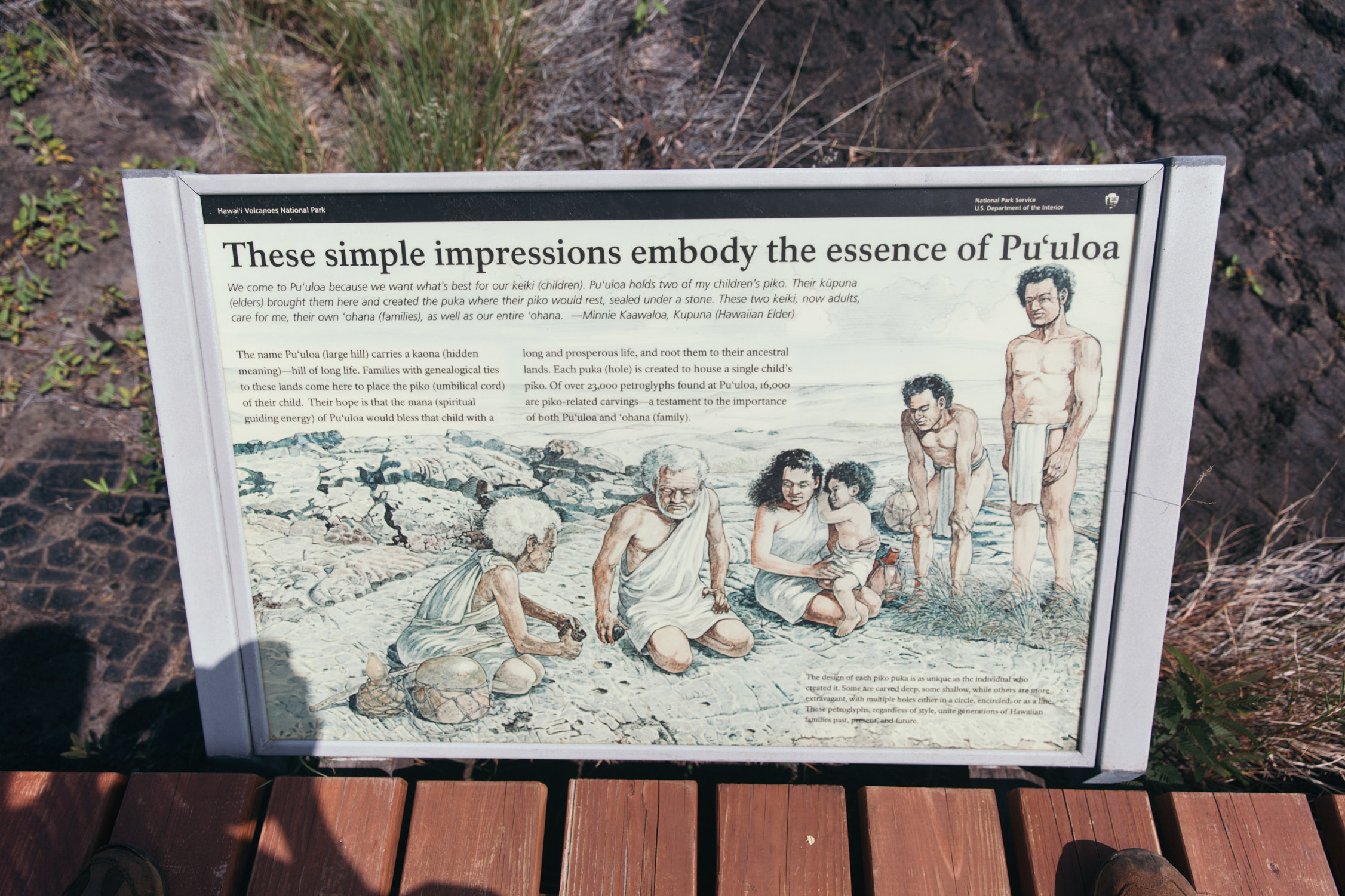

“Each puka (hole) is created to house a single child’s piko (umbilical cord)”. Imagine the whole families, and the birth records you have under the eyes…
One last
—
Up next, in the upcoming episode: from sea level to the highest peak, and down to a sacred trail in the greenest valley.
Volcano. Mauna Kea. The King’s Trail.

References
- Back up ↑
Map of the eruption: see the USGS map, and look for the “former coastline”
- Back up ↑
Kīlauea Iki, on Wikipedia: https://en.m.wikipedia.org/wiki/Kīlauea_Iki