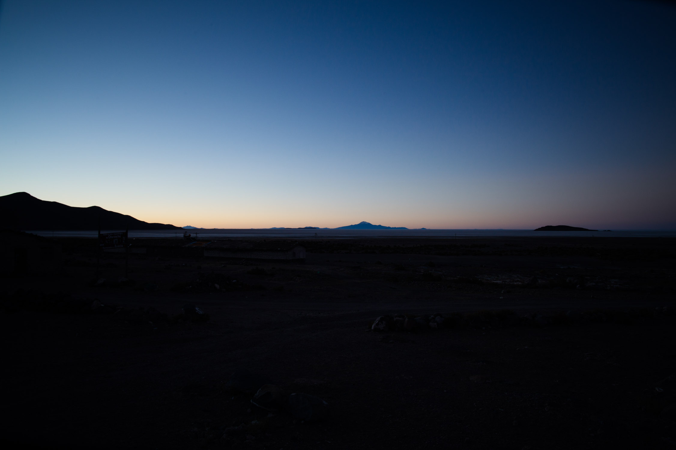
After the Salkantay Trek, the amazement discovering the Machu Picchu, after the calm beauty and simplicity of Isla del Sol and the Lake Titicaca, after the noisy capital city of La Paz and the thrills on the edges on the Death Road, we arrived… somewhere. Our bus dropped us on a little dusty sidewalk, in what seems to be a fantom city.
We’re now in the middle of nowhere, in the darkness of the night, completely cold.
June 5, 2012,
Coffee in Uyuni. Salar de Uyuni, first day
5:40 a.m.
Apparently, we are now in Uyuni. There’s nothing outside to be sure of that, but the bus is now empty and everybody has vanished in the night. I hope we’re in Uyuni!
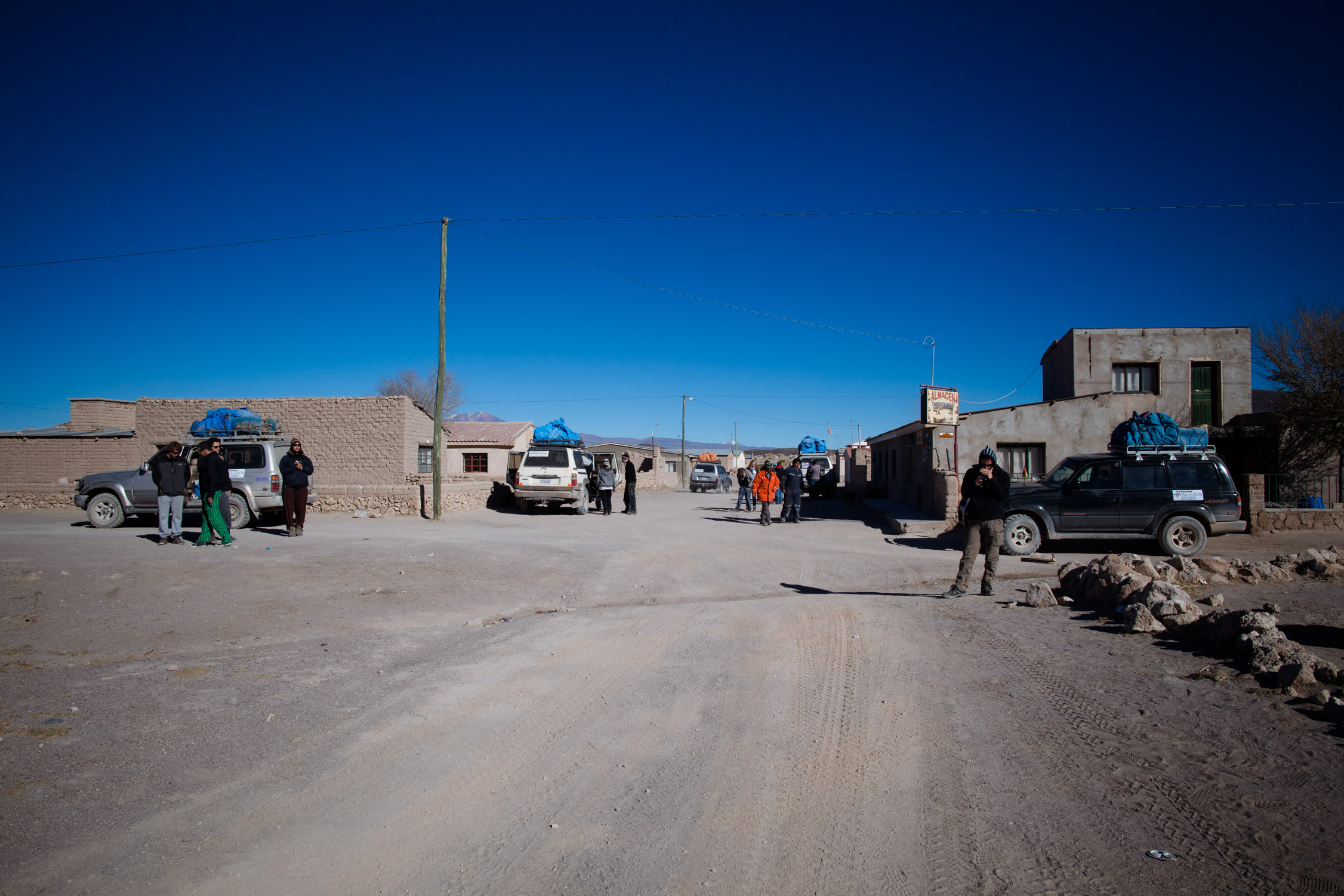
Julien gets his Bolivian guide, looks for the city, and shows us a little map. We try to find where we are, in vain. There’s ONE important street, near the train station. But where is it?! We walk straight forward, to seek a street that could be on the map. We find one after a few minutes. Left. Left again. Going back. We have no idea of where we are. Left again. We’re almost back at out starting point. A big 30-minutes loop in the cold. Interminable. Tired. Numb. A little tension starts to grow.
Finally, we find a little tent, in the middle of Av. Arce et Peru. There’s a woman here, in a little covered stall. A small tea pot, hot water and coffee. COFFEE! 2 Bs. (~ 0.22 € / $ 0.28). Comfort has a small price.
An other woman walks to us. She seems to own a touristic agency et has the tour we’re looking for. Perfect!
7:30 a.m.
I take another coffee and we enter her agency. I sit on one of the couches and take some blankets that lay on it to warm a bit up (I’ll need 45 minutes to start to feel better…).
Description of the tour, we explain that we don’t whole the whole round-trip but to stop at the end of the first part, at the border… everything seems fine. She leaves, we look around and see many colored sheets on the walls with recommendations from the previous travelers, in many languages, from many countries, with sometimes the name of the agency they thank scribbled and replaced by the name of the agency we’re in. Funny.
She comes back, we negotiate. We agree. YEAH! We won’t have to spend the night here!
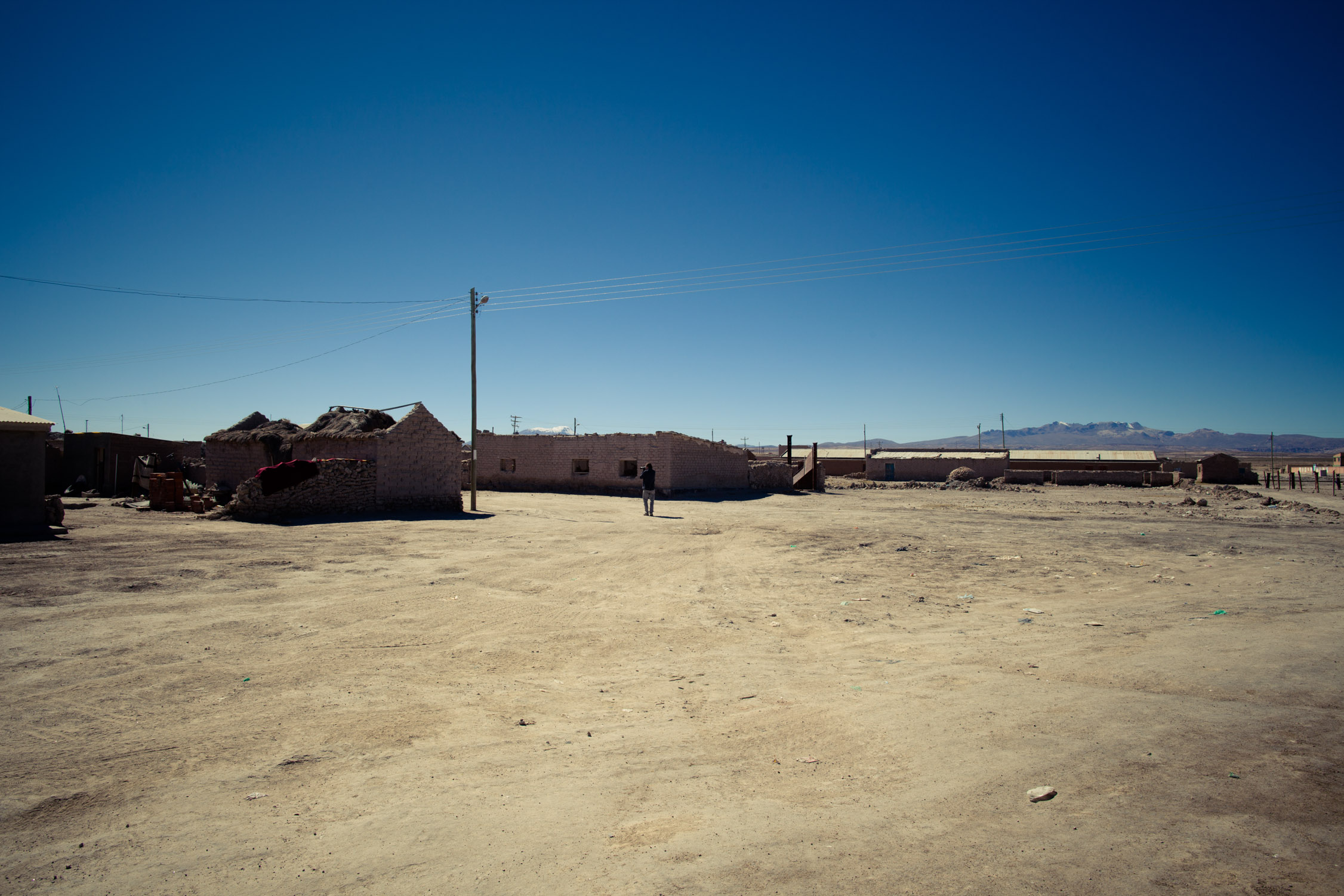
We wait inside, in the warmth. 8:30 a.m., we walk out, the Sun has risen, and we head to the “center” of the city. Nothing special to see at the market, but we visit the little stores selling clothes. We’ve seen how it’s cold during the night, and we’re about to spend three days in the desert. We better be ready for that! In Uyuni, by night, temperatures drop around 8°F. COLD.
We start by going at the immigration office to get our Bolivian exit stamp (3 days before we actually exit). Without it, we won’t be authorized to enter Chile. We buy water, cookies, cereal bars: only comforting things! And extra wool sweater, gloves, socks… everything is made of alpaga wool, really warm and soft: necessary things!
Back at the agency.
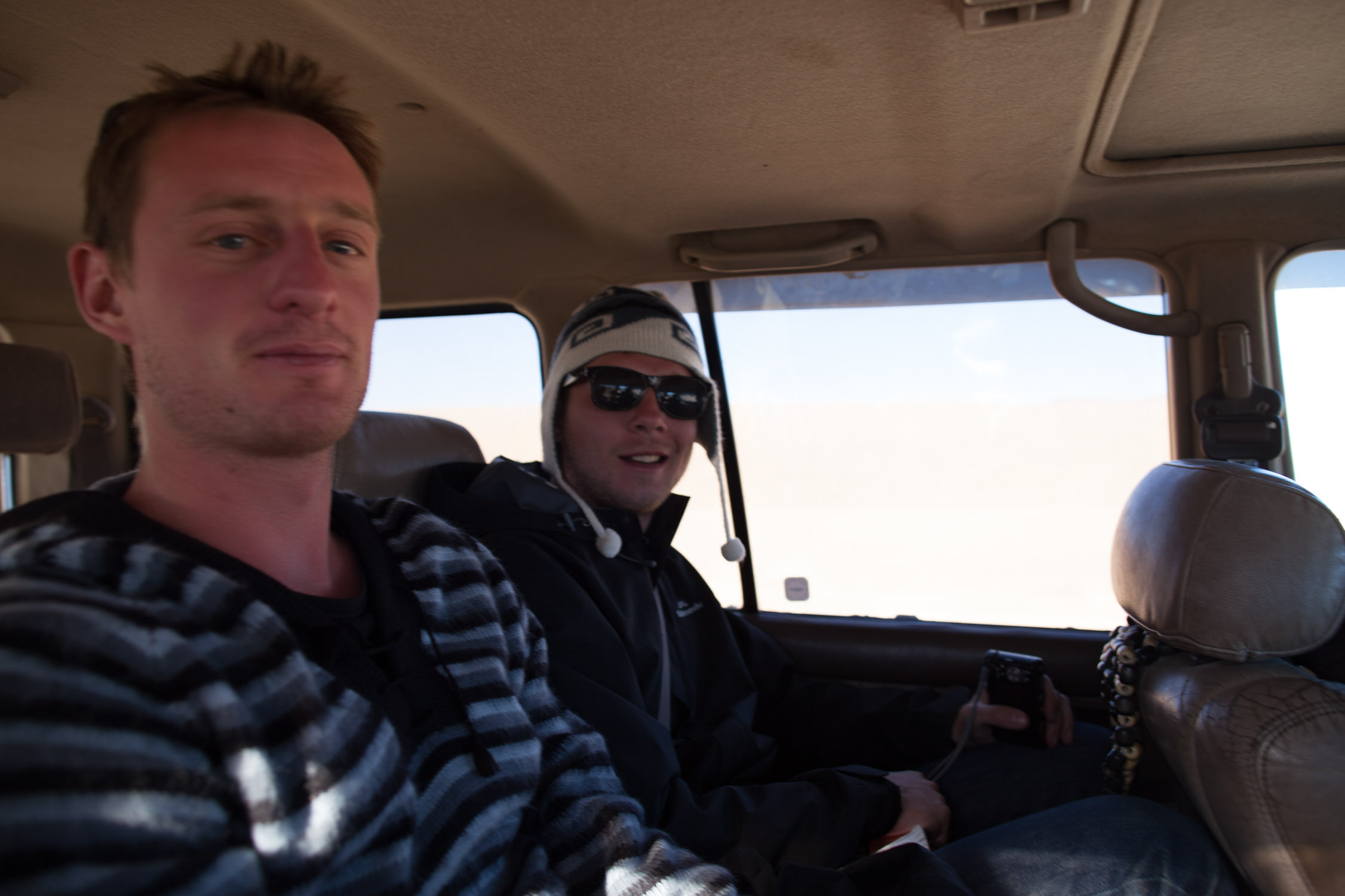
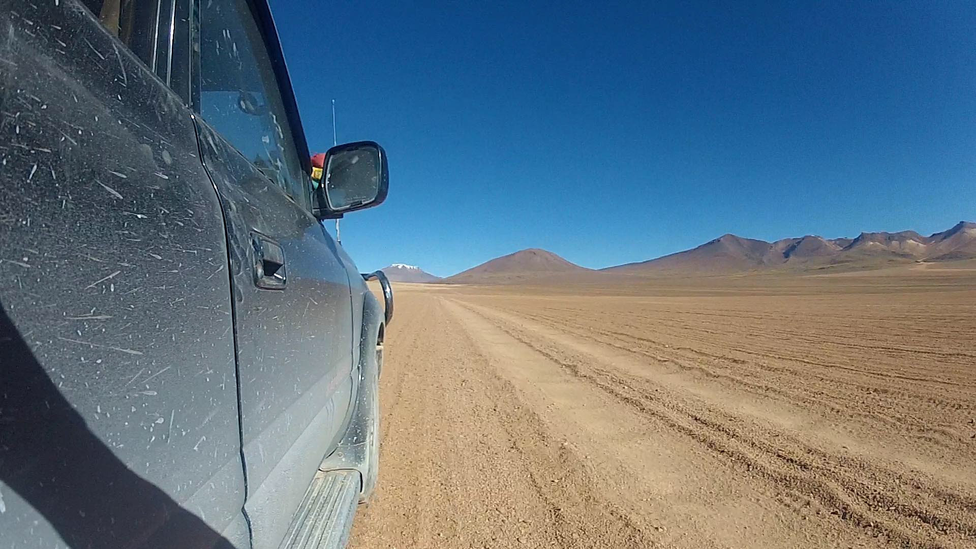
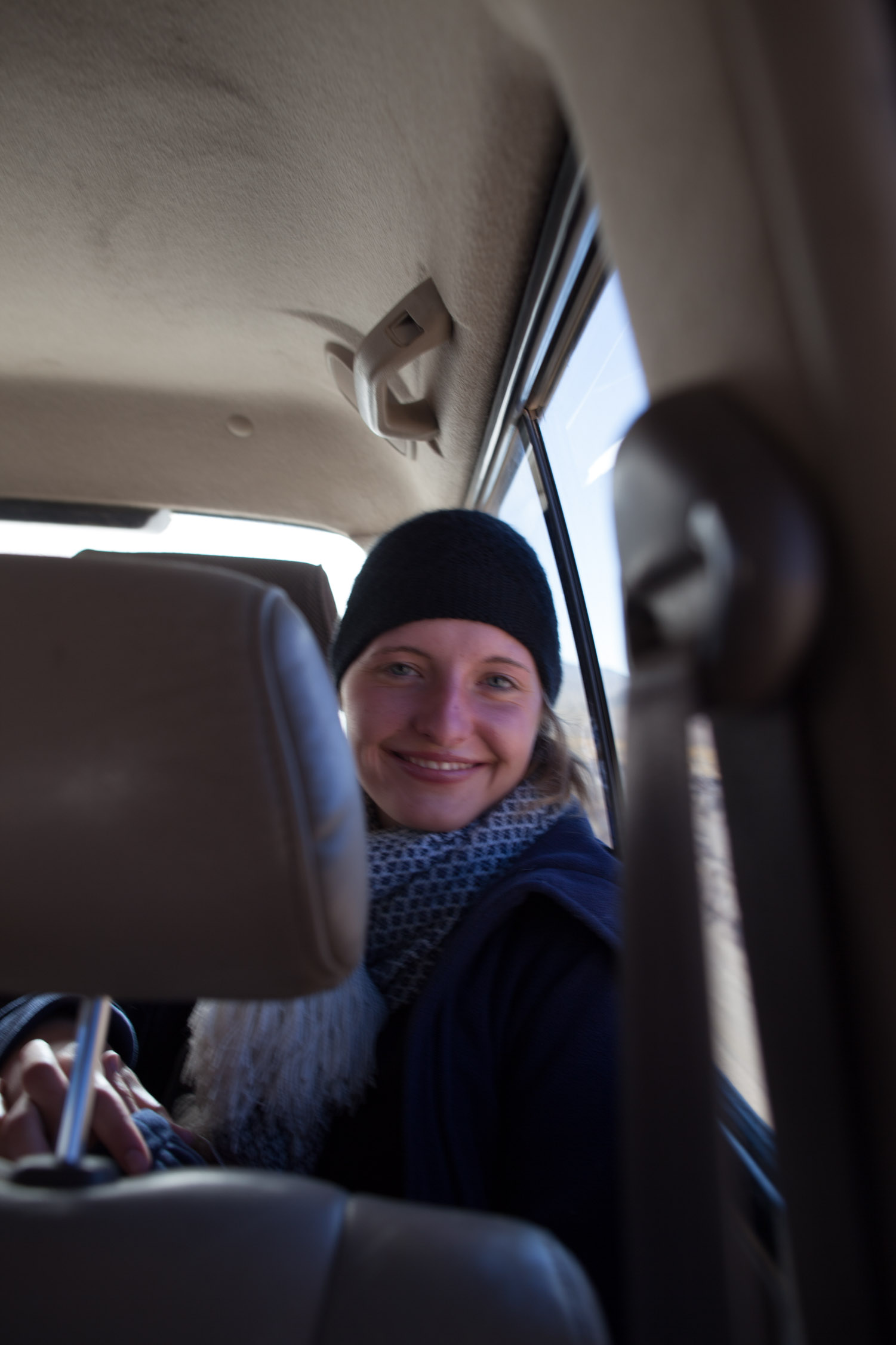
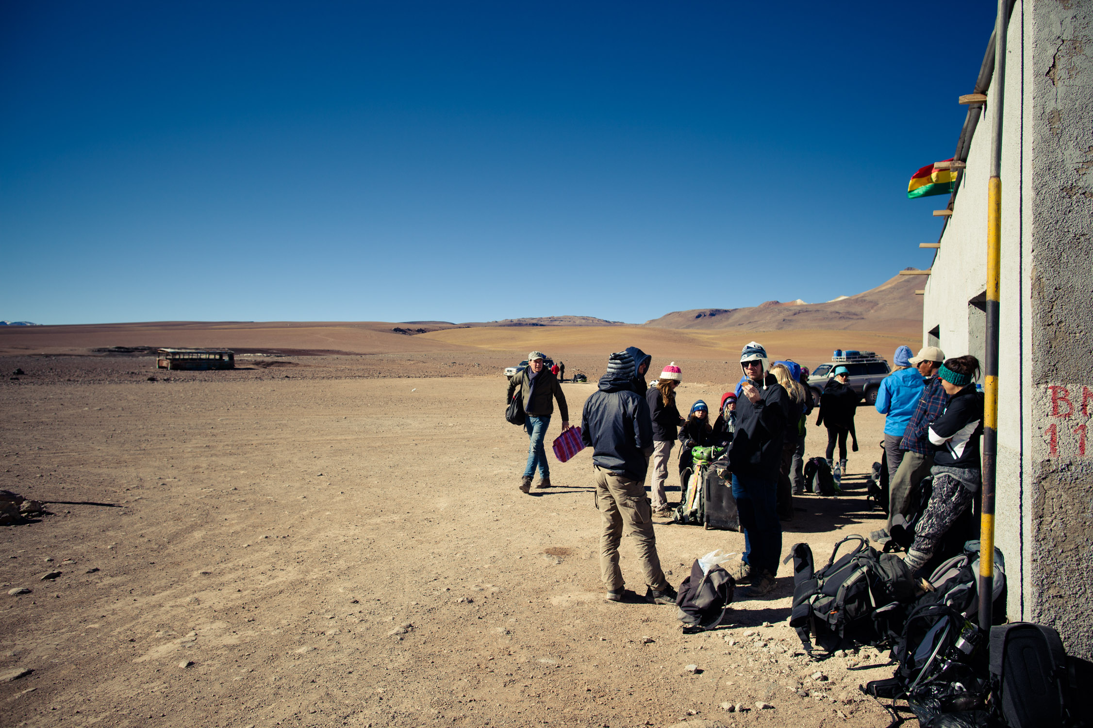
11:10 a.m., our driver arrives, 40 minutes late. We get on route… till the next corner where we stop to get more companions: Carolyn, Jenny and Felix.
First destination:
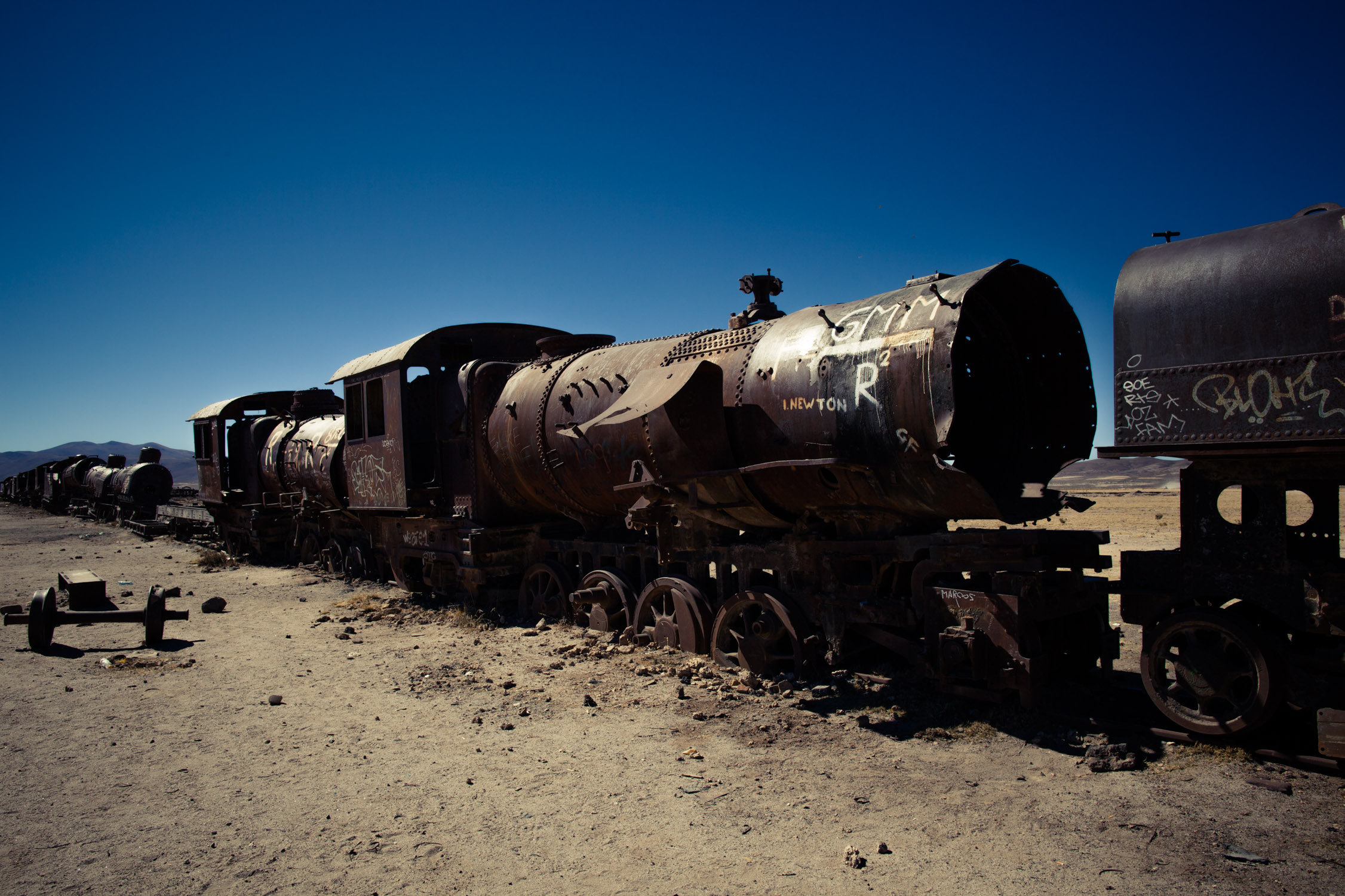
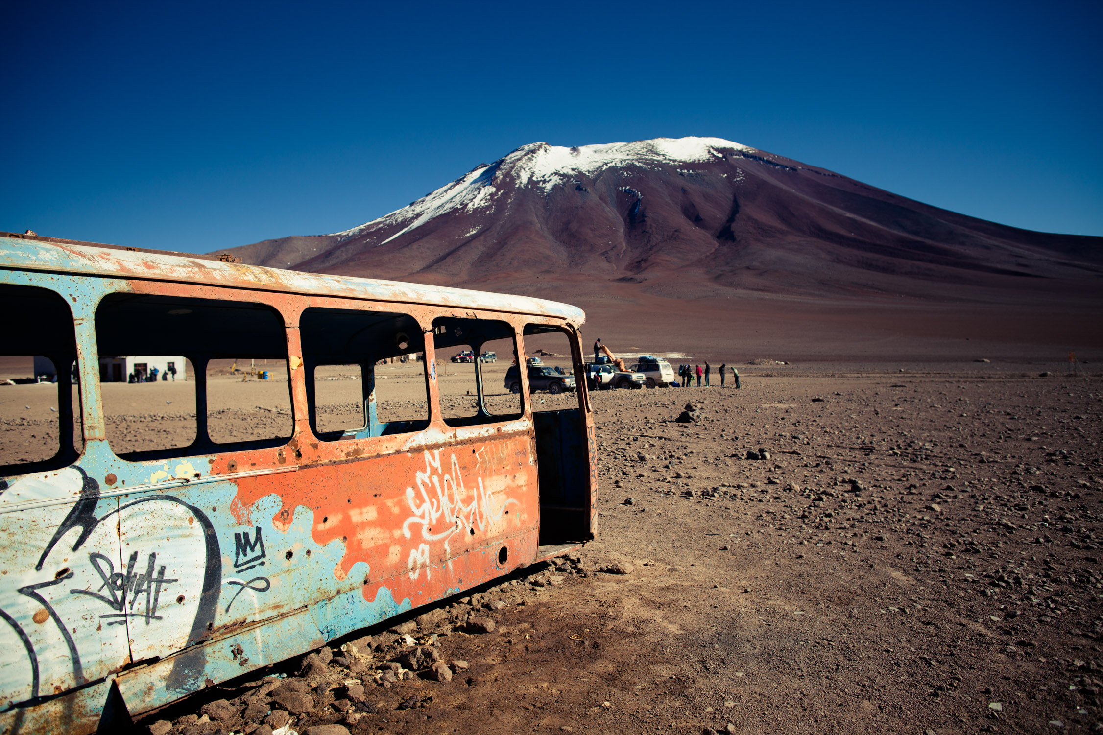
Train cemetery
GPS: -20.48196, -66.83809
Uyuni used to be the main commercial platform on South Bolivia, with railroads going to the Pacific, Argentina, and running up to La Paz, the capital. The city has been highly used for mining industry (of several minerals. FYI, the Salar, just a few kilometers away, contains 50 to 70% of Lithium world resources, main component of batteries). In 1940, the mining industry collapsed, and everyone left, leaving everything behind them, like the trains used to convey the merchandise. They’re sill there, nothing moved, and what was once an overexploited platform is now a cemetery.
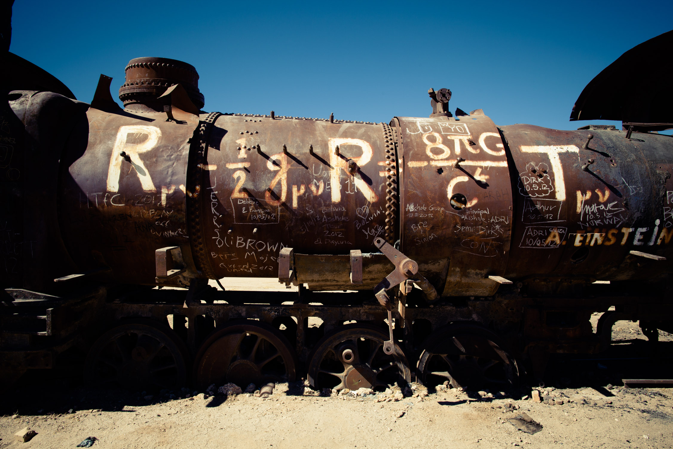
Completely rusty, completely empty, completely graphed…
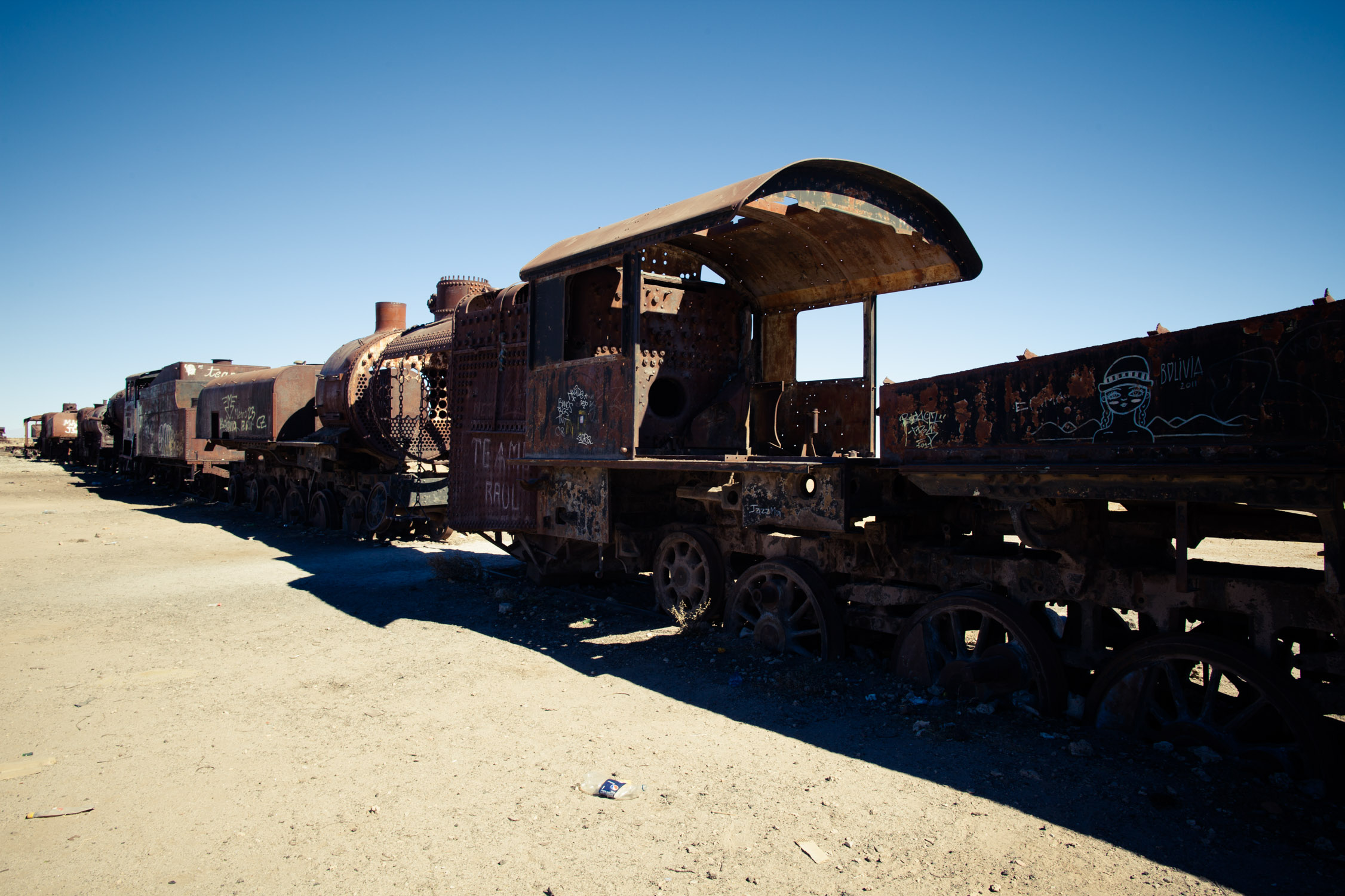
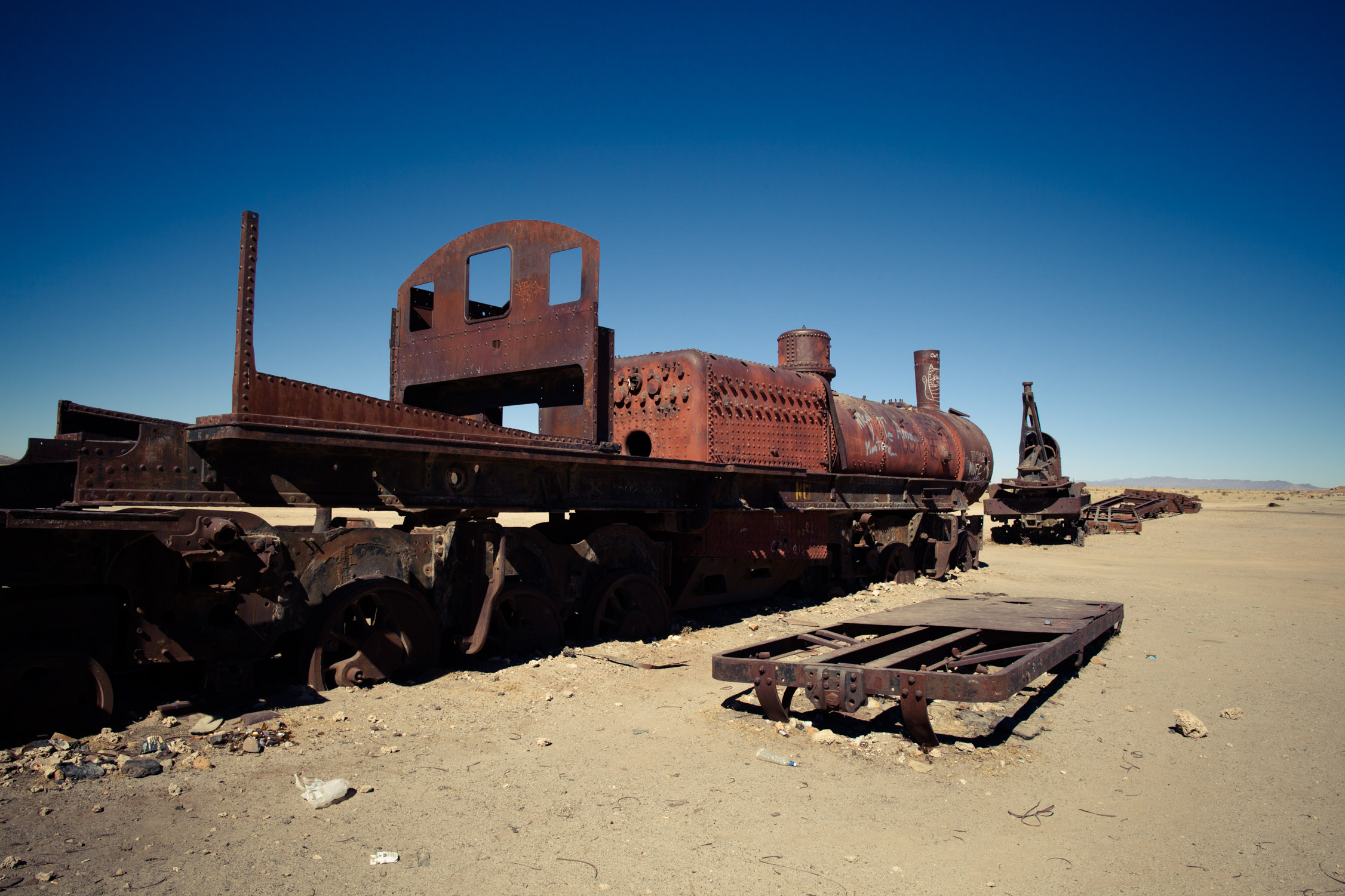
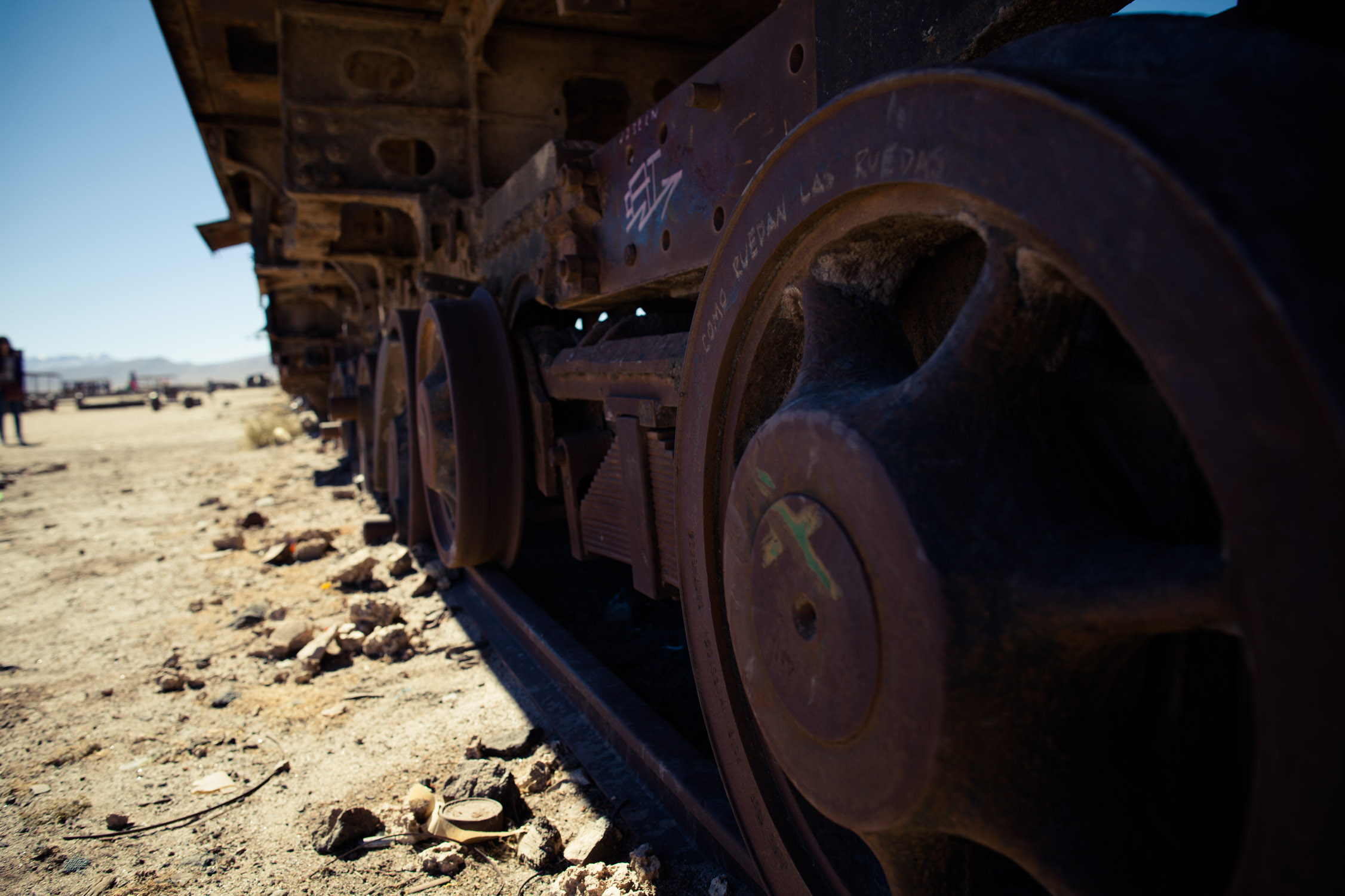
Still on the tracks…
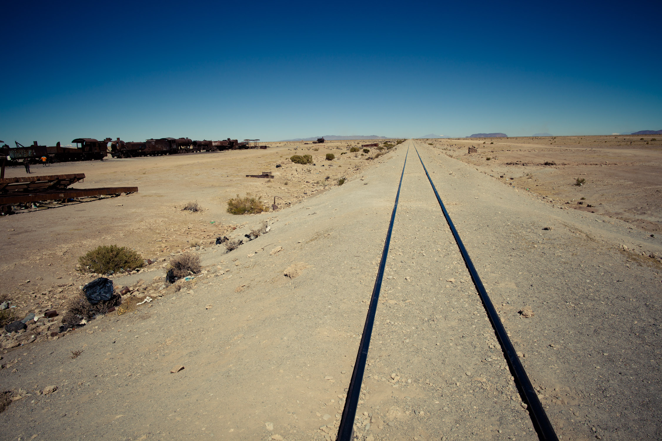
Heading South! (South-South-West to be really accurate)
We go back to Uyuni, then drive to the North, to the “touristic” entrance of the Salar.
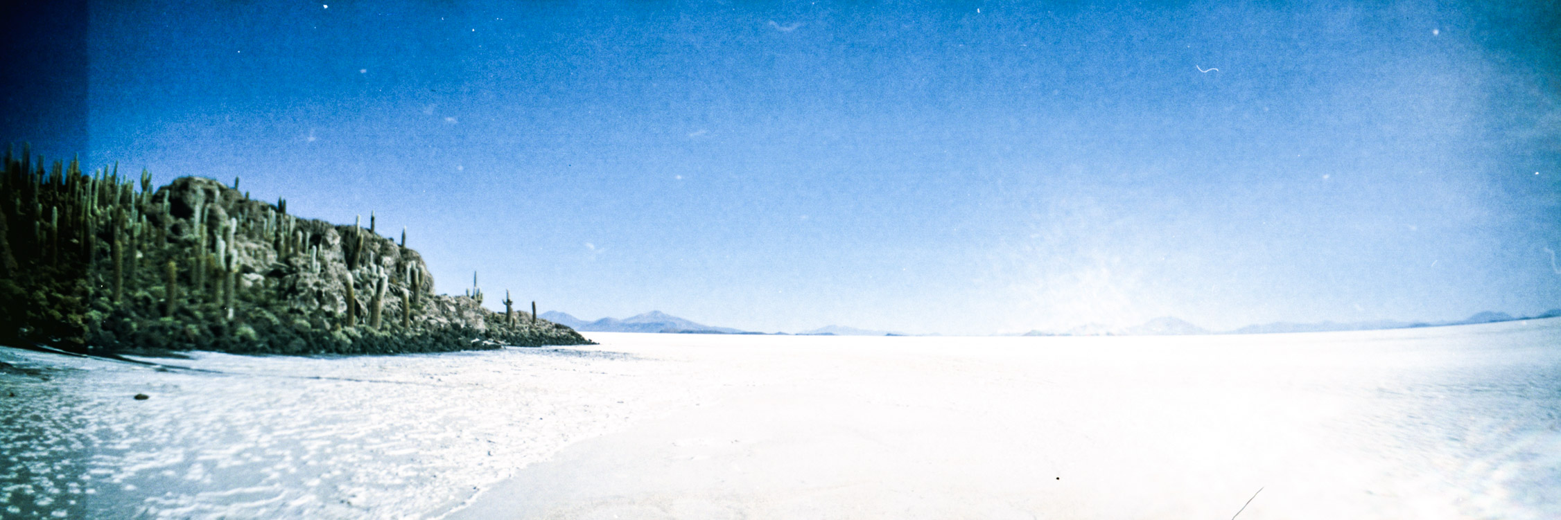
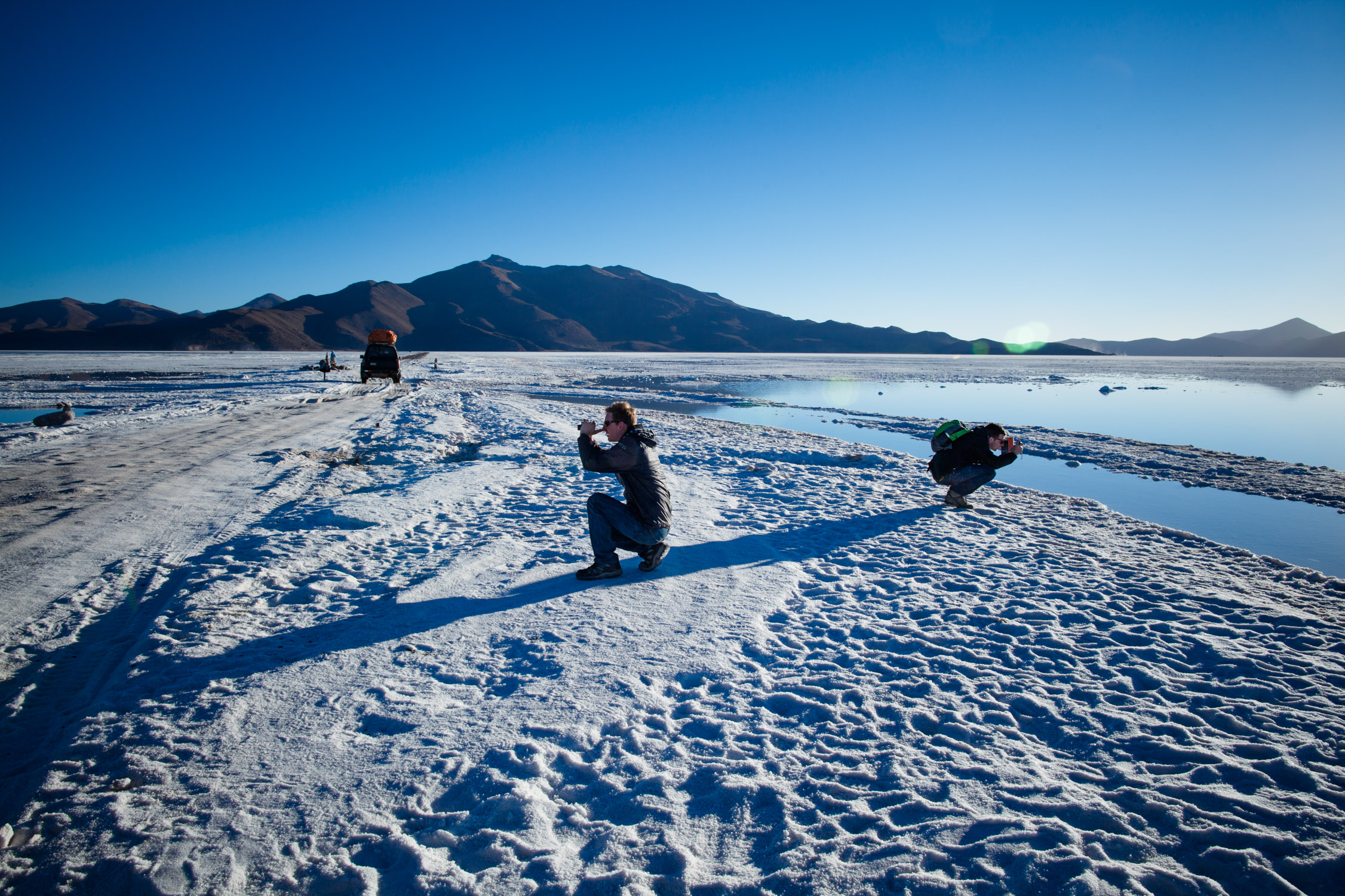
Salar de Uyuni
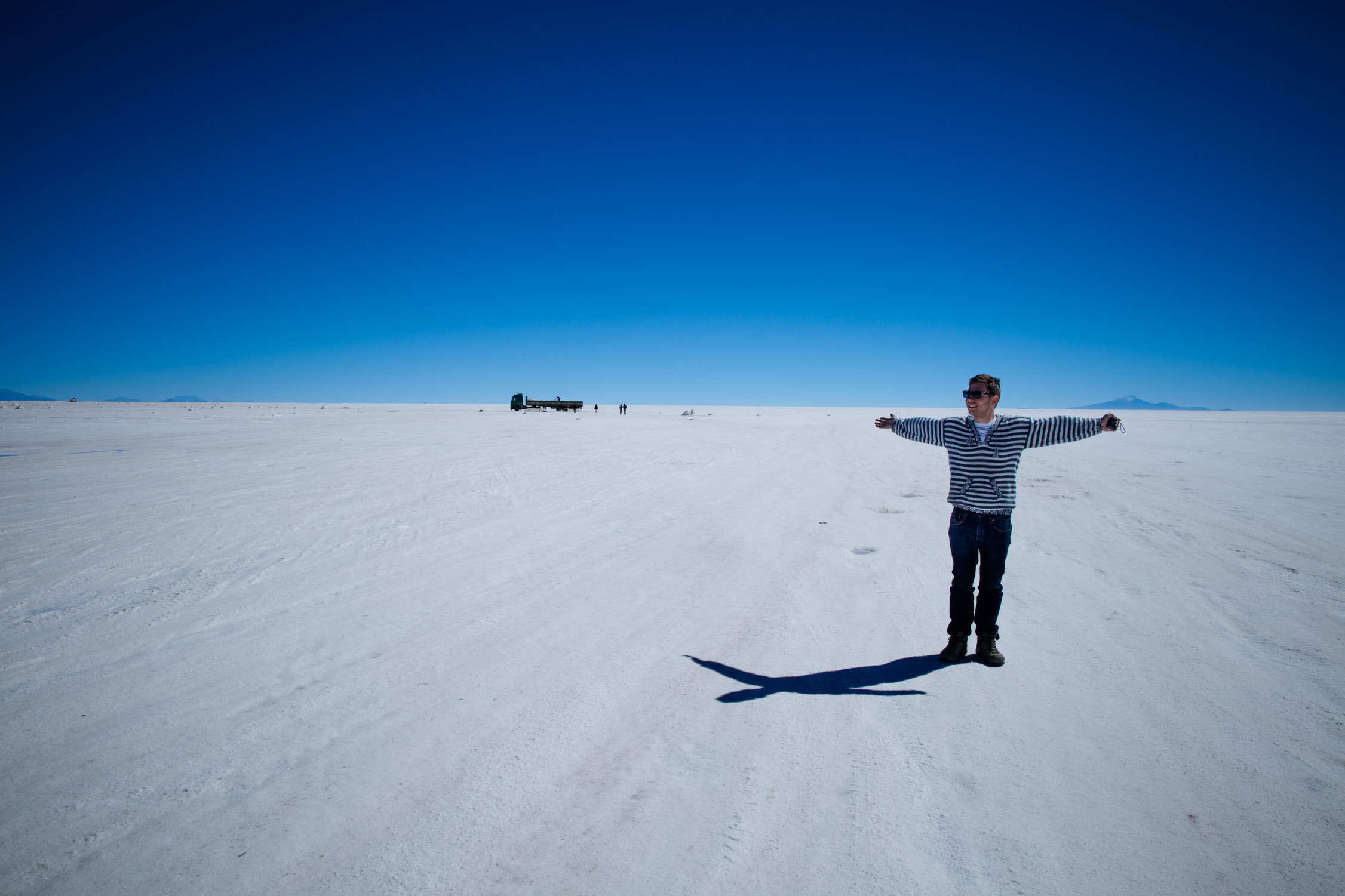
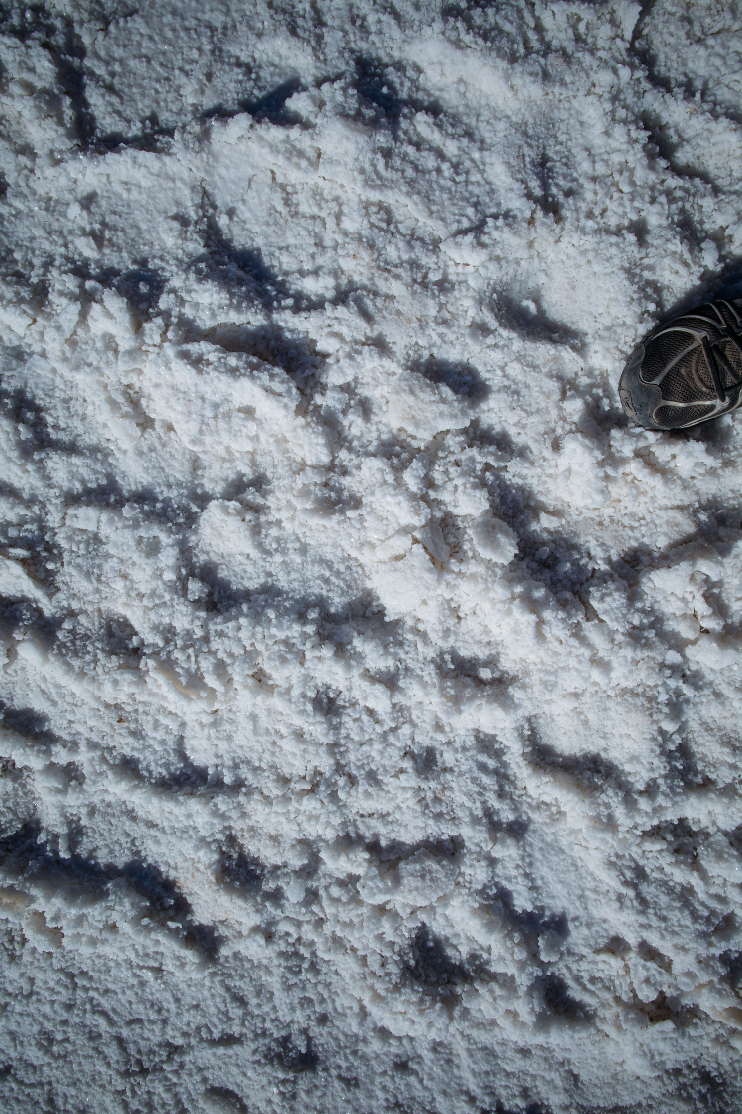
Already talked about it, but I’m gonna get into details now. The Salar de Uyuni is an old prehistoric lake, now dry and which left tons of saline sediments. The Salar is a salt desert. This one, Salar de Uyuni, is the largest one in the world, with a surface of 4,086 sq mi (larger than, for example… Lebanon – 4,036 sq mi). It lays at exactly 12,000 ft alt. “Exactly”, because the place has also the amazing distinctive feature of being one of the most… flat places in the world. Imagine that, on its whole surface, miles and miles, the difference between the highest point and the lowest one is less than… three feet. 100% flat (and, as an amateur astronomer, I searched and discovered that this Salar is very often used to calibrate the altimeters of orbital satellites).
That’s gonna be interesting! And as the first day (and the next ones) will be spent driving, driving and driving even more, I’ll only write about the stops and what’s good to know ![]()

Here. We. Go!
Colchani, touristic village of salt industry
GPS: -20.30121, -66.93783
We start our visit of the Salar with a little stop at Colchani, village of salt operators, where you find… souvenir shops (aren’t they supposed to be at the end of the tour?). Everything is made of salt, from the smallest ornament to the tallest statue of a lama, sculpted in one block, in real (lama) size.
Village?
Salt exploitation
GPS : -20.31399, -66.98384
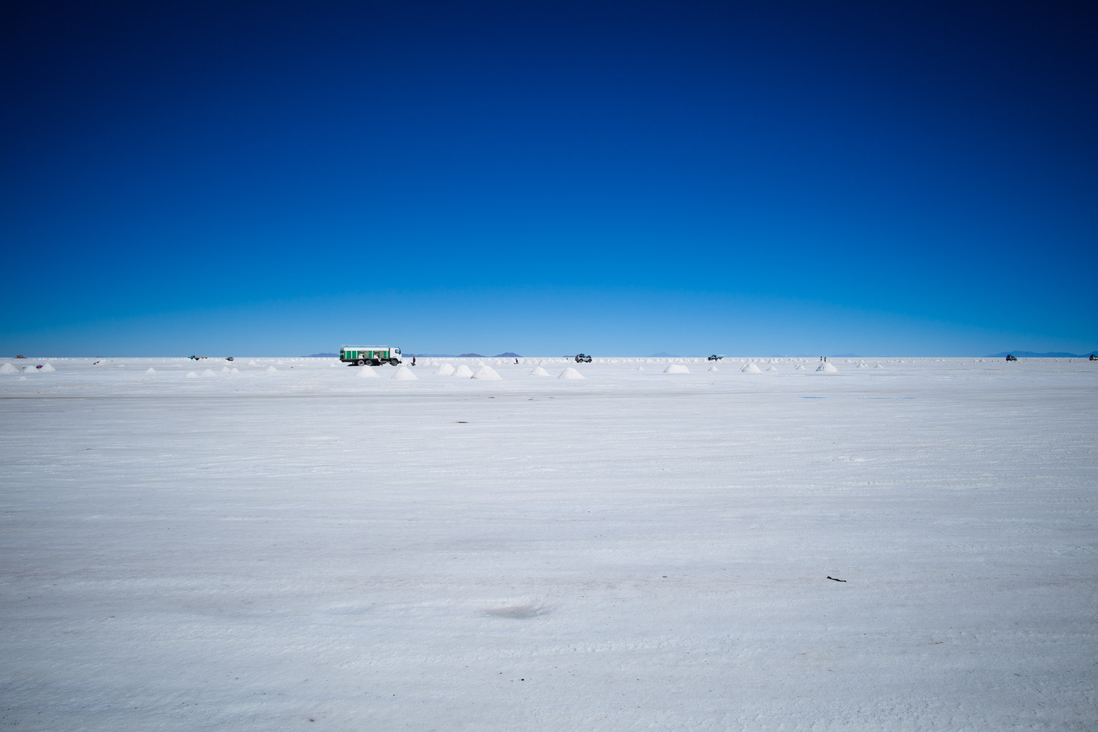
Few meters after the village, we arrive where the men of Colchani extract the salt. Nothing is automatic, no machinery here, but the trucks to transport the salt to the village. All is hand work, with shovels: break the salt crust, make piles of salt, load and send.
From places to another, the crust can go from a dozen of centimeters (like here) to several meters (more in the center of the Salar).
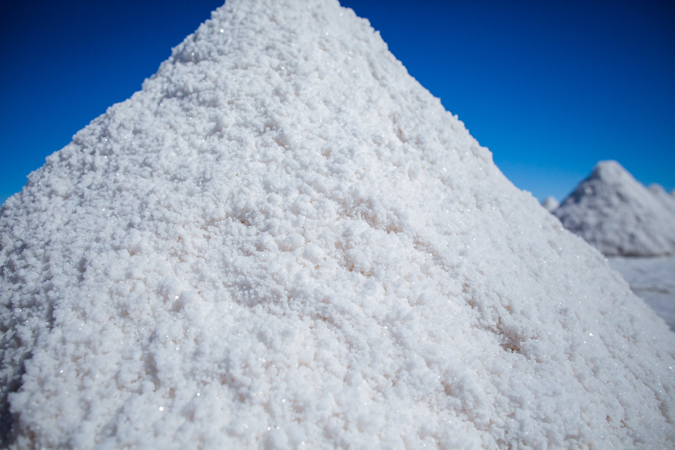
Stacks of salt
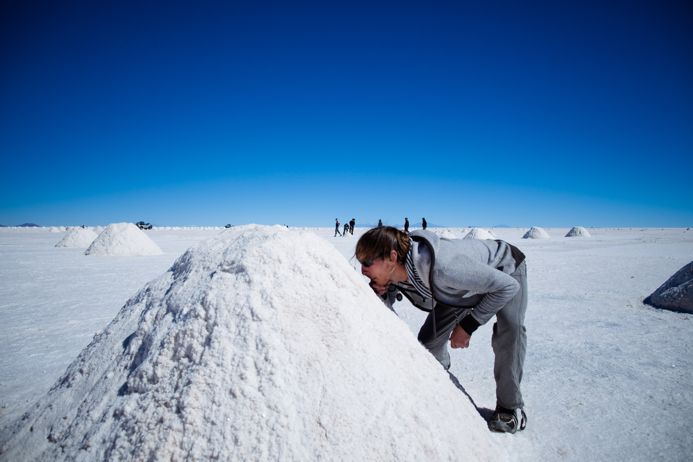
It’s the only picture I have to show you the size of the cones of salt 
A bus?!
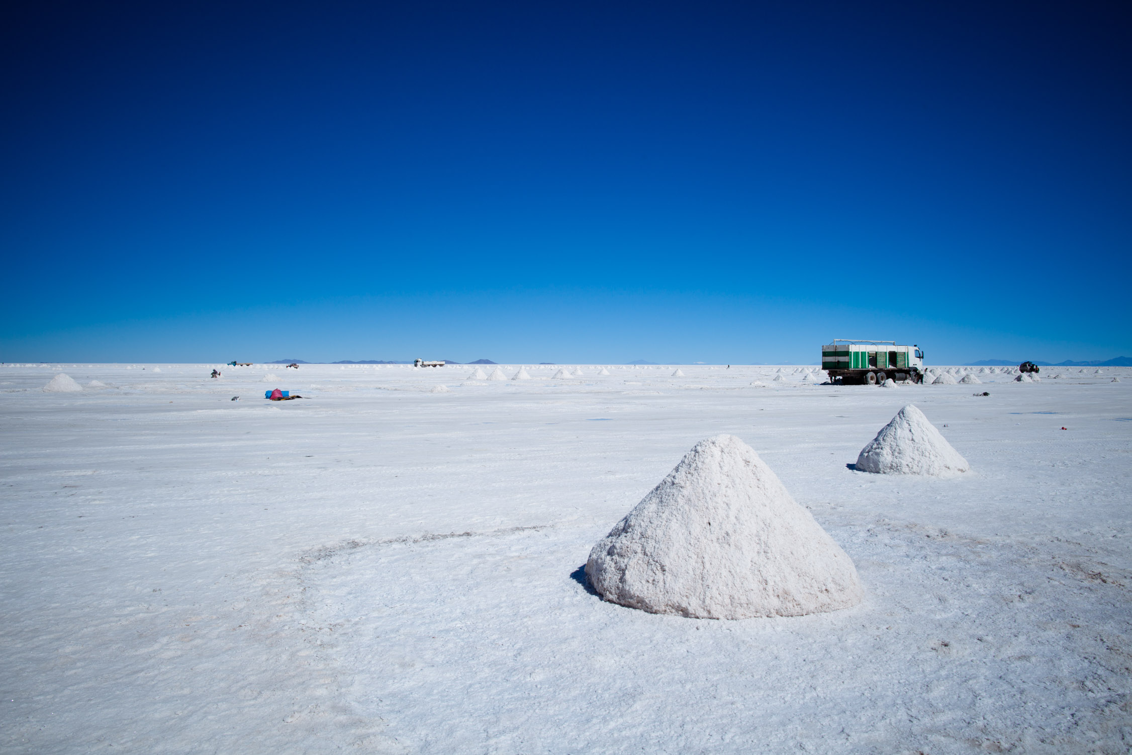
Oh no, a truck loaded with salt…

There was once a hotel here, now abandoned
And you already feel like you’re in the middle of nowhere, but we’re not there yet…
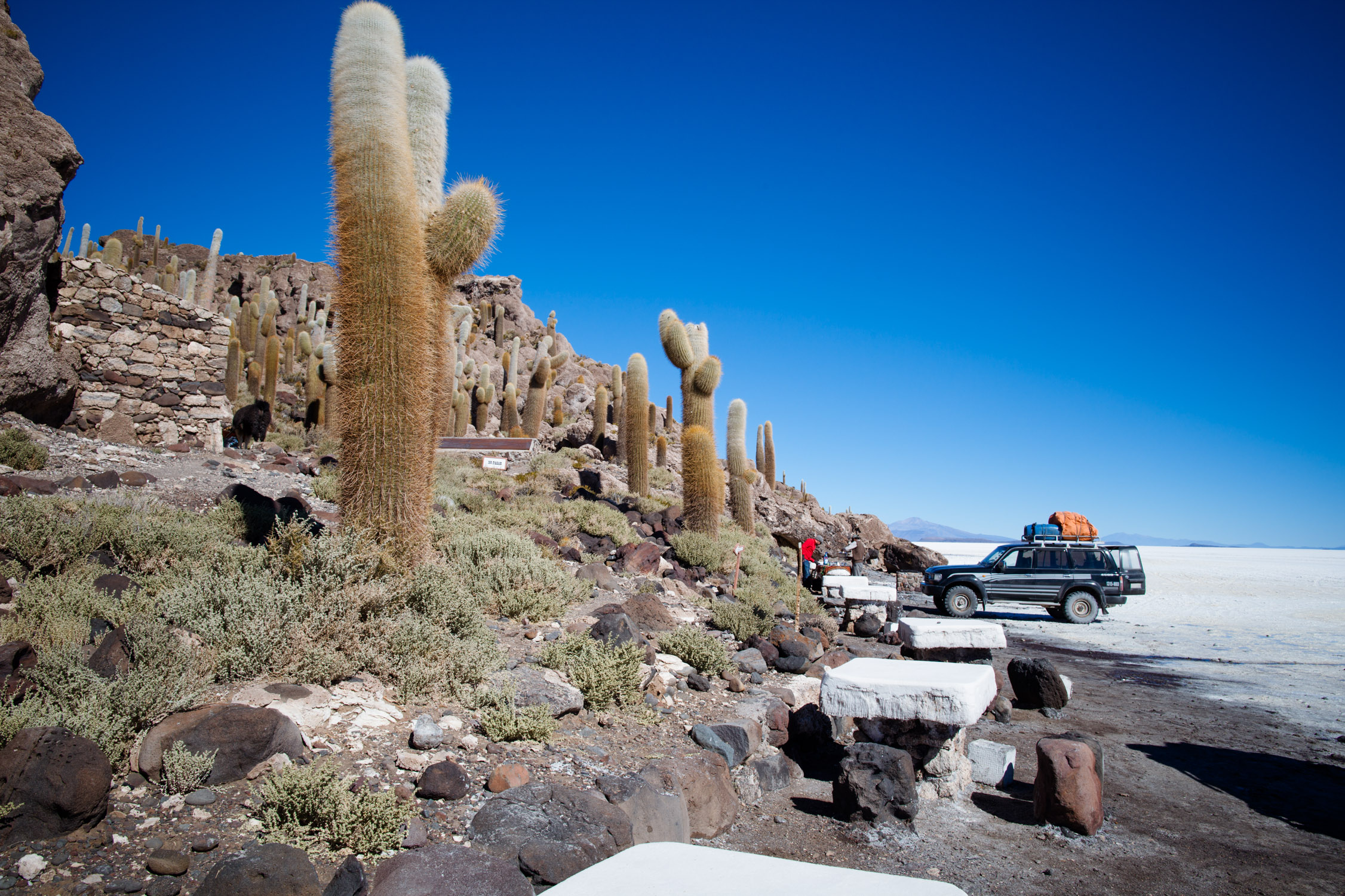
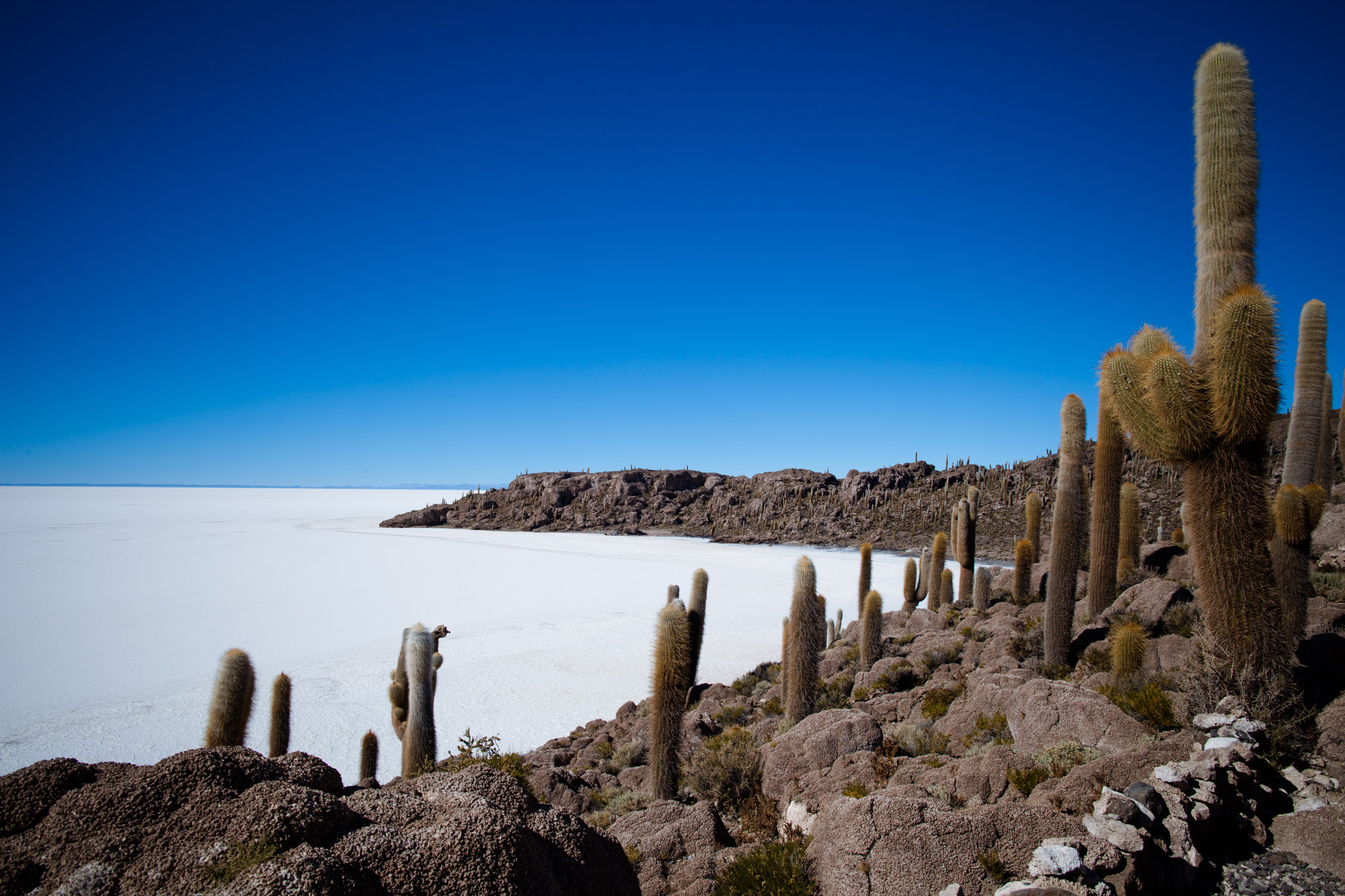
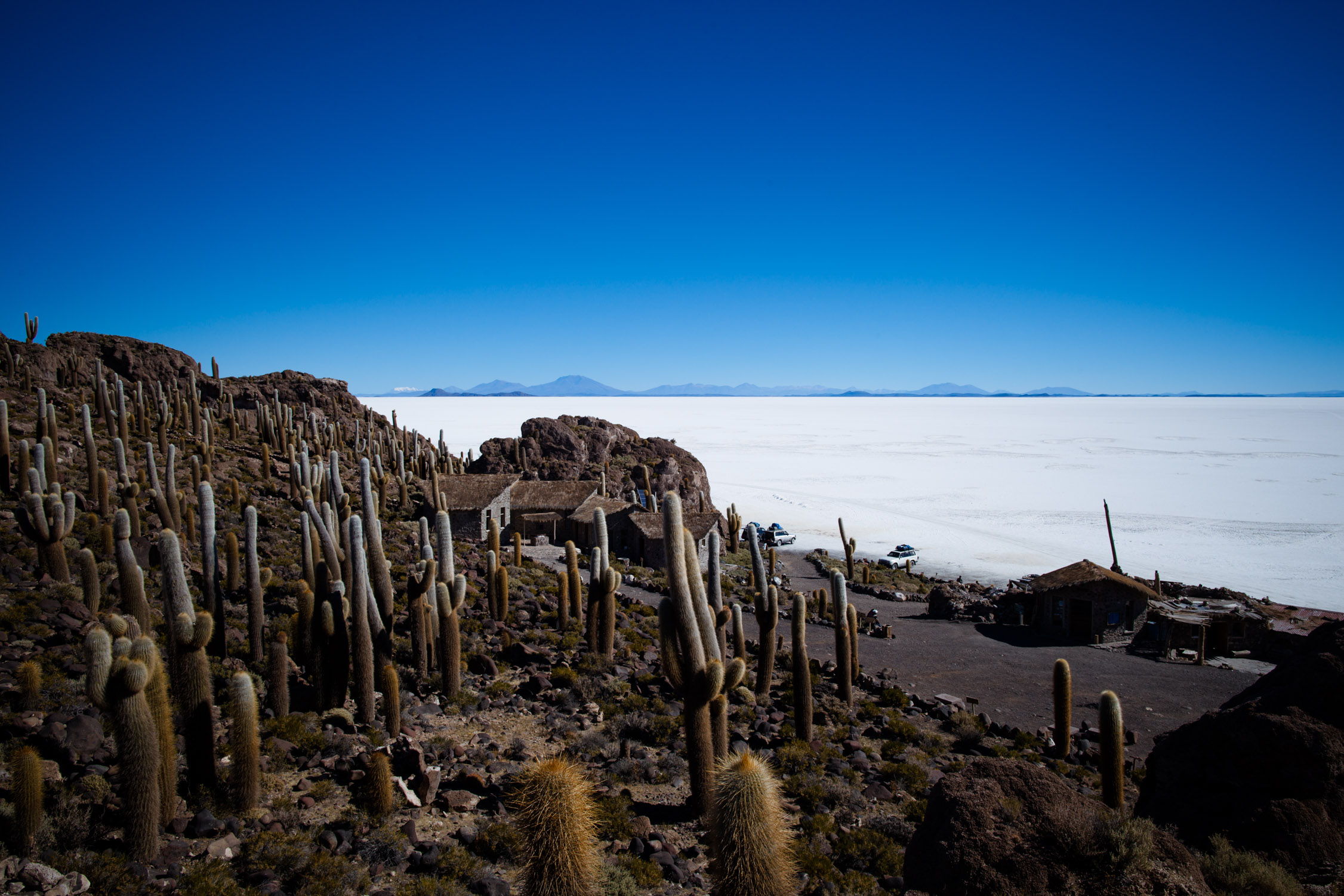
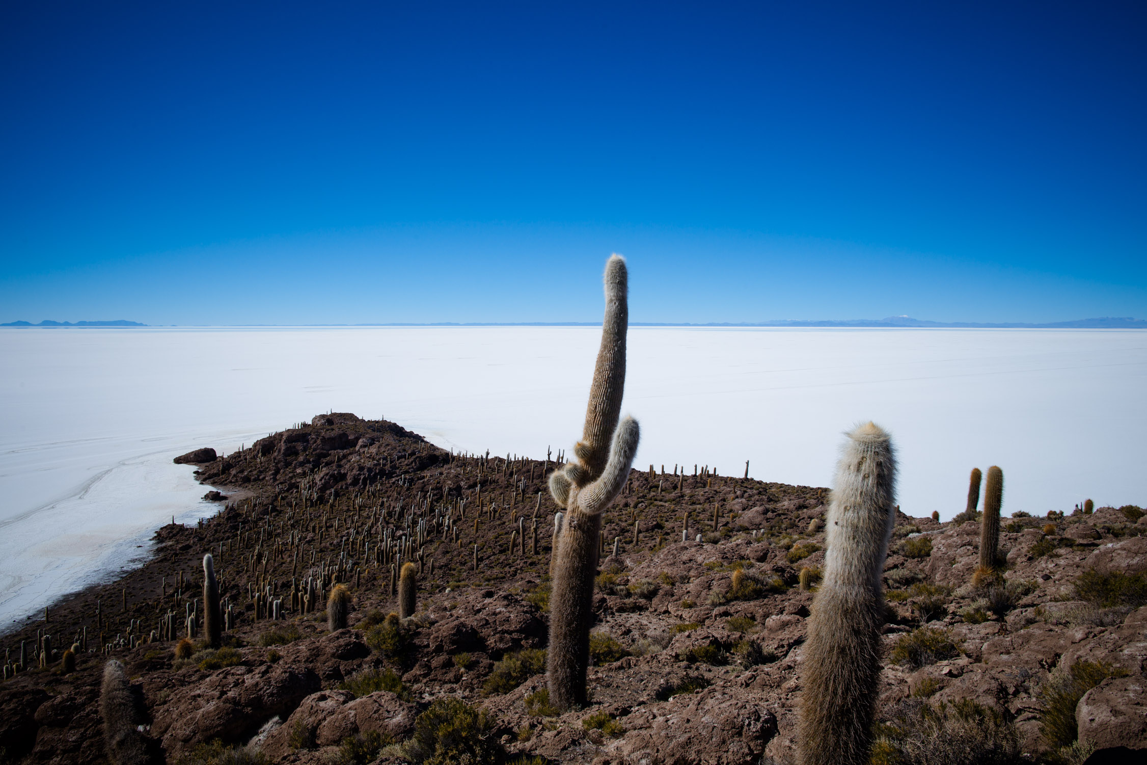
Isla Incahuasi
GPS : -20.242778, -67.625278
A small island of fossilized corral, in the middle of nowhere (I’ll break the record of the use of this expression), in the salt desert, Isla Incahuasi, also named Isla del Pescado (“island of the fish”, guess why…).
It’s the place where we’ll have our lunch.
The island is quite remarkable, because it’s entirely covered with giant cactus, growing one centimeter per year. The tallest ones are now 40 high. Make the calculation (1,200 years, if you’re lazy or not so good in mathematics).
Hop, little stop…
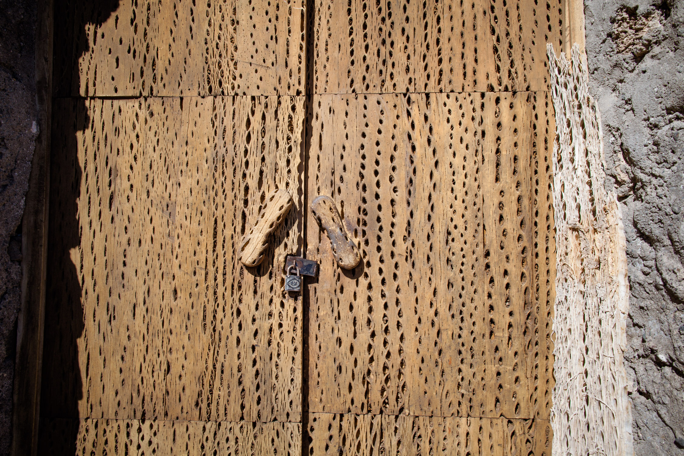
Here, there is a museum. And everything is made from cactus wood!
Lost island

Wanna walk home?
In the desert
After Isla Incahuasi, we go on our route, heading South (it’s the point and name of this Travel Journal, after all), driving on this big salt flat.
On the left, in the middle of the desert. Salt is really crystalline. On the right, Southern, water comes from underground under pressure and gives the salt these bubble shapes, really hard (they don’t break if you jump of them…).
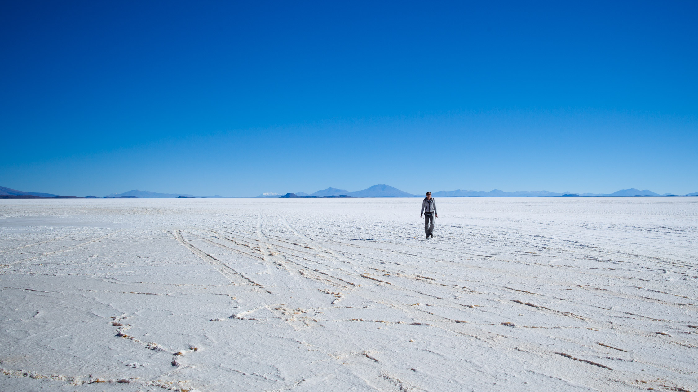
A lonely walk in the desert helps to clear your mind.
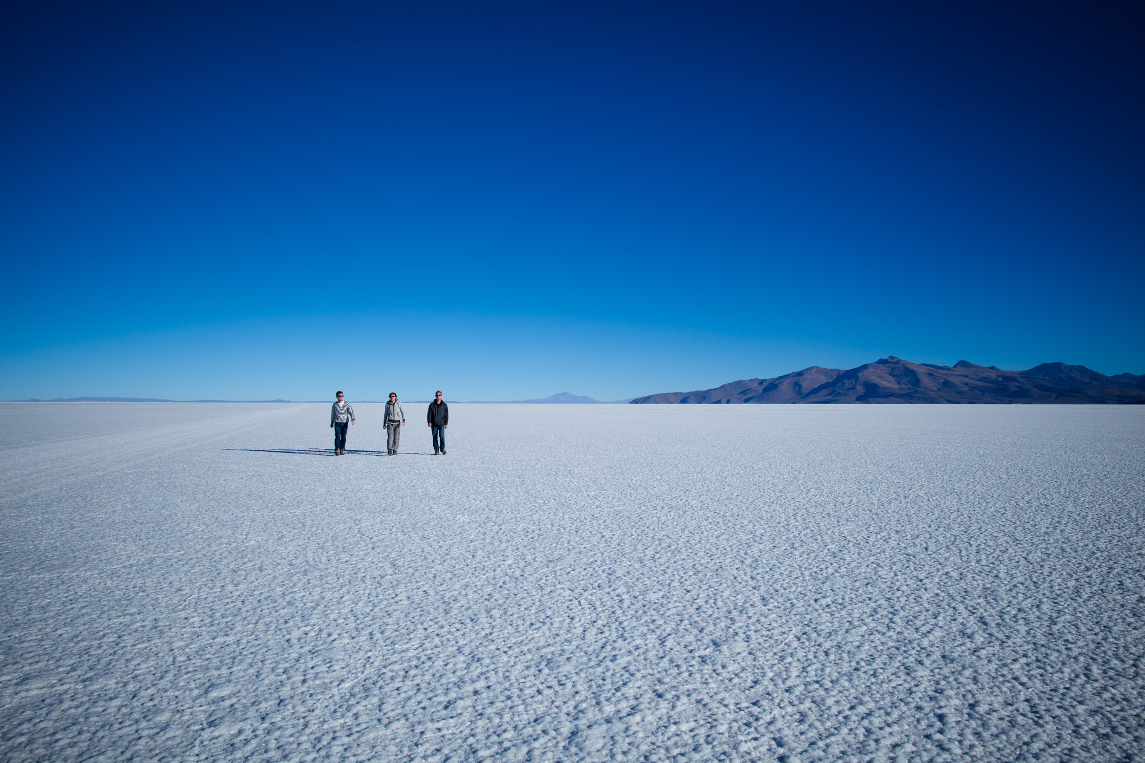
… and then, by luck, you find buddies…
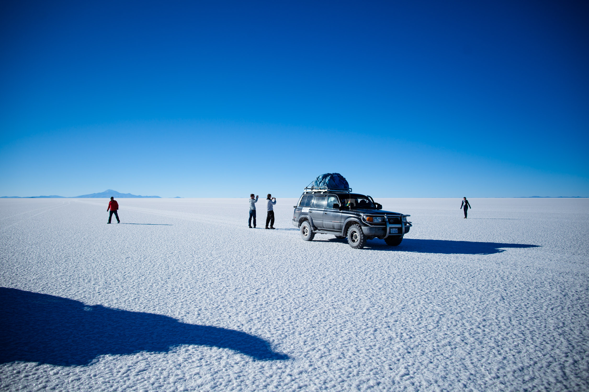

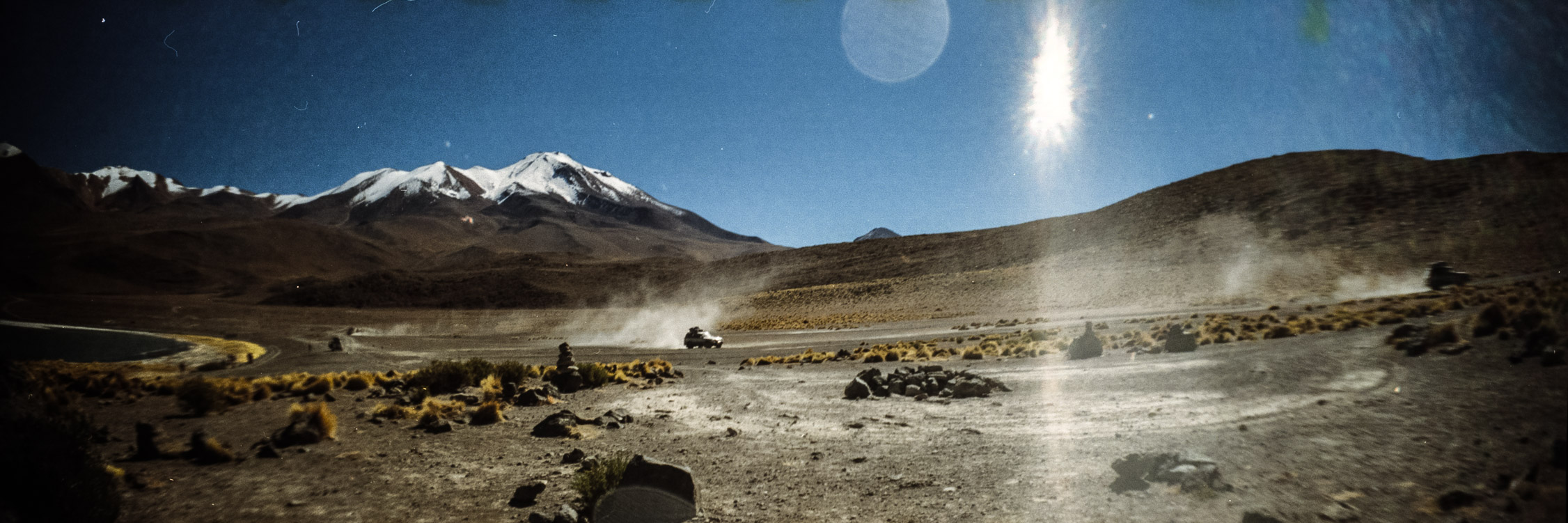
Going South, before exiting the Salar. Here, the salt lake is like shifting sands, and the car start sinking in the water…
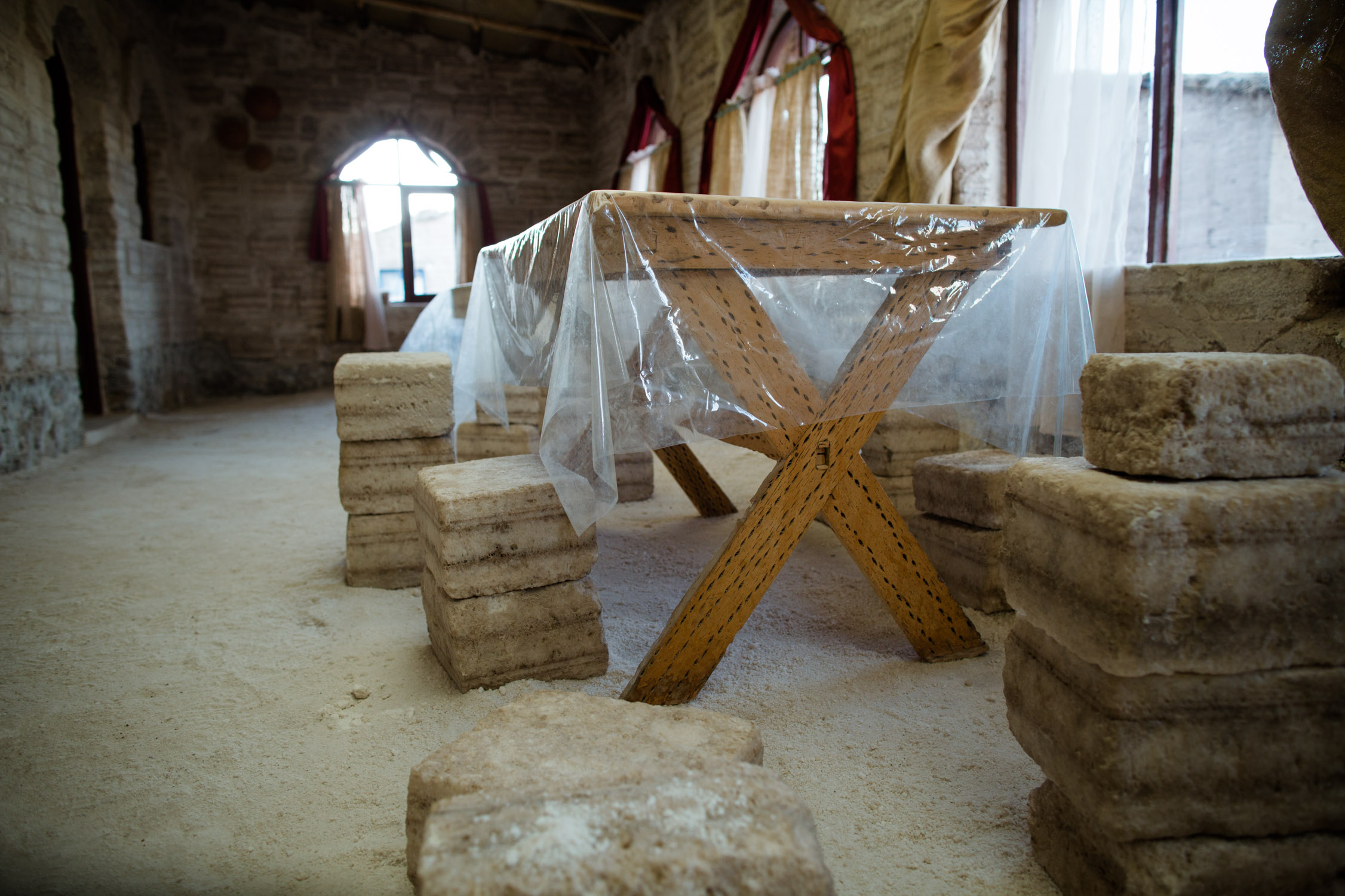
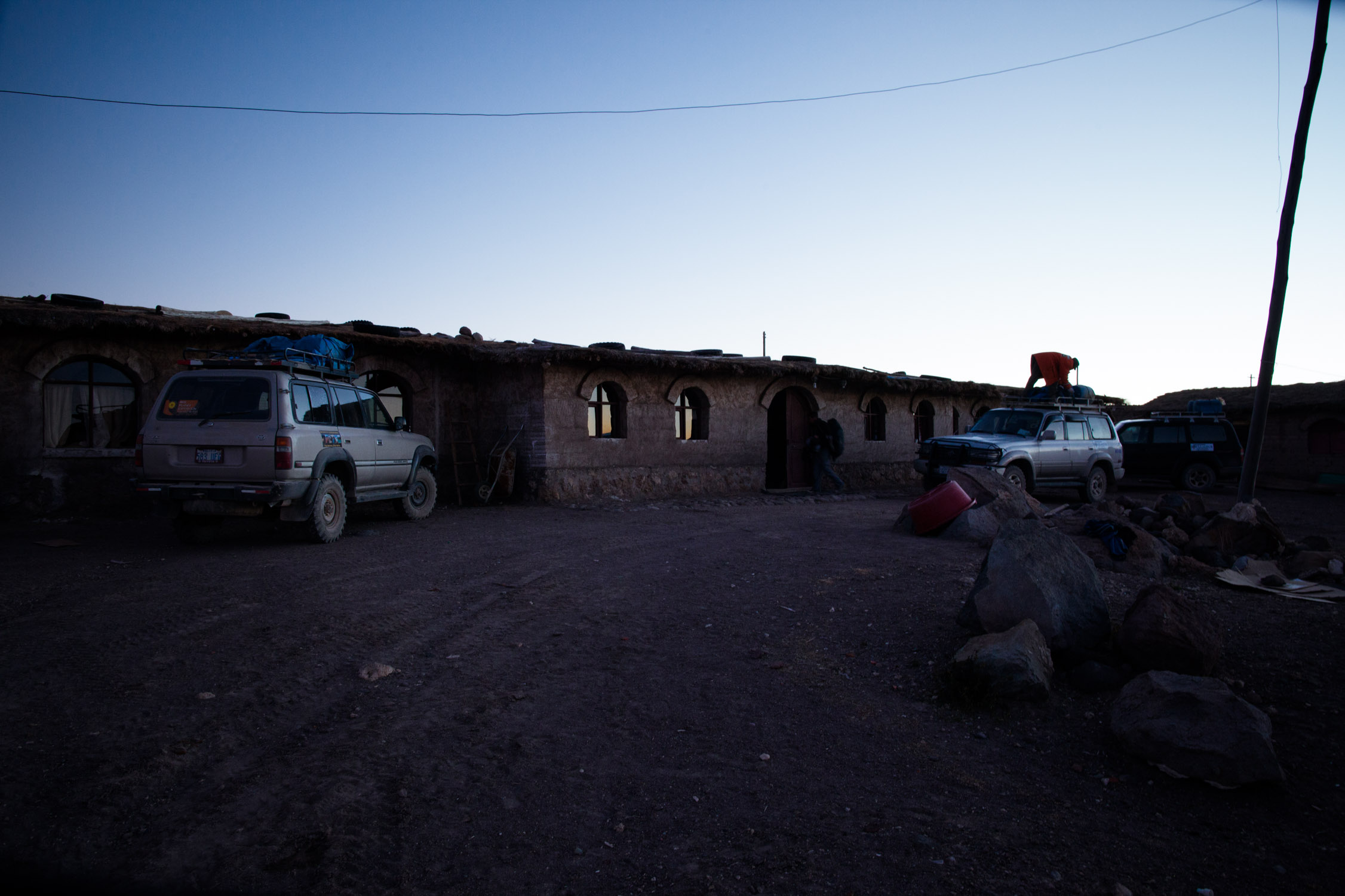
Agua Quisa night camp
GPS: -20.56953, -67.64020
4:49 p.m., the day is almost over. The Sun is already low in the sky, it’s time to get warm inside.
We discover our home for the night, completely made with salt blocks: walls, beds, tables, chairs… Nice!
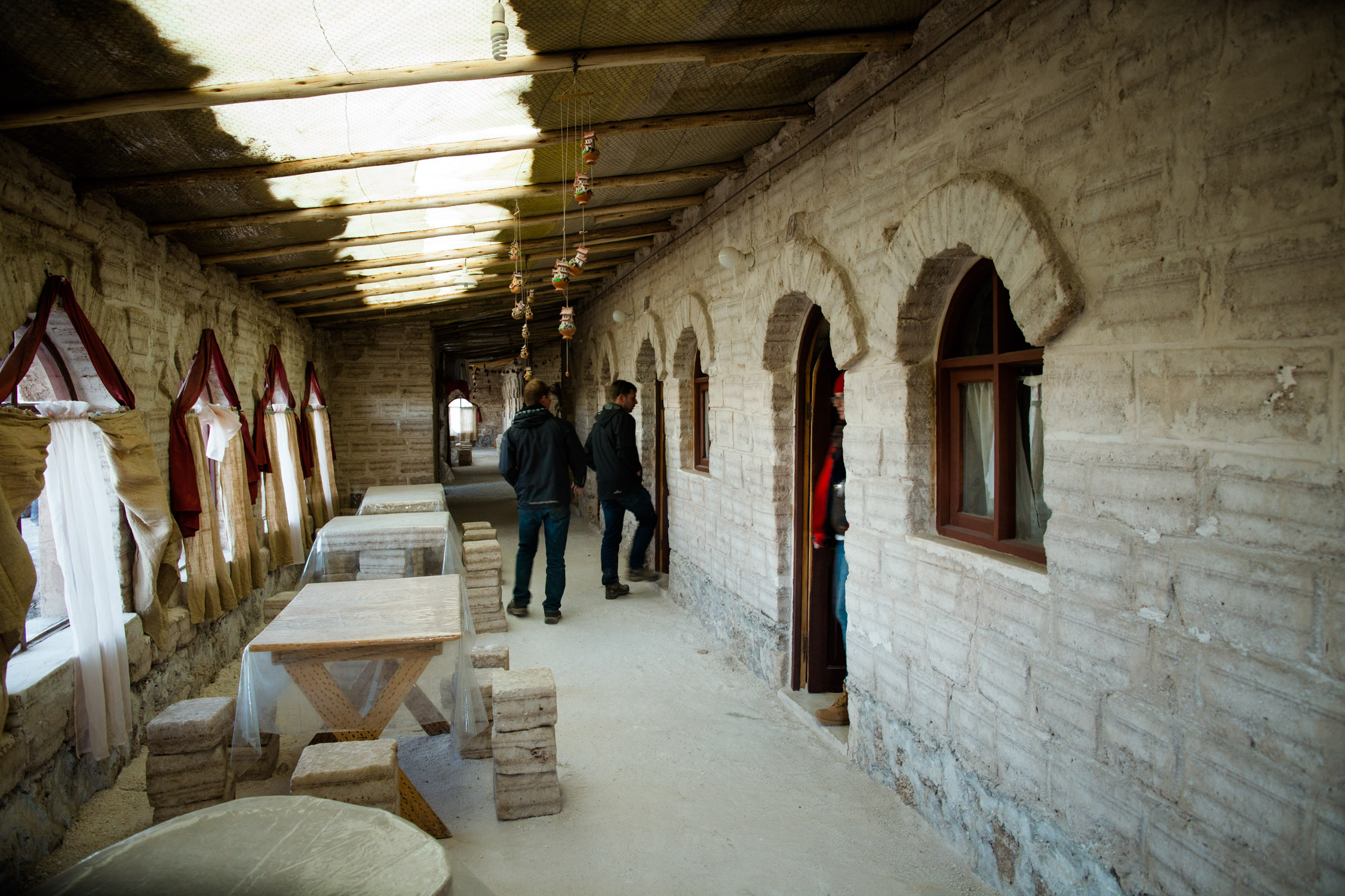
All made of salt!
Seats made of salt

Home sweet home
Yummy snack, dinner, and we start to play cards with our friends. We also teach our game to a little girl from there… who just makes us miserable, winning it all. Beginner’s luck ![]()
The Sun is setting down…
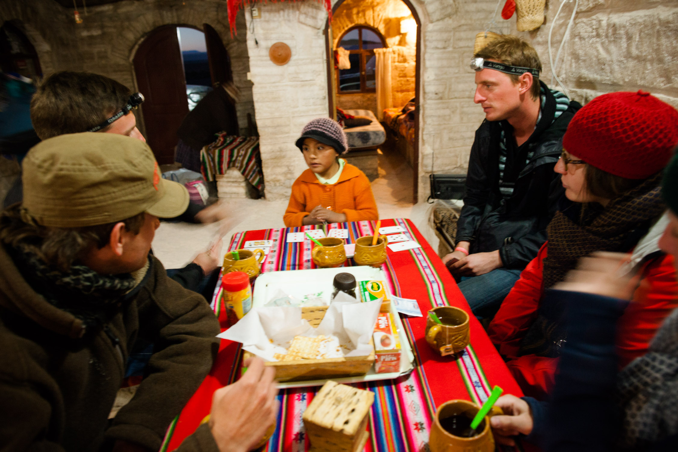
We don’t even know her name, we asked but she never told us…
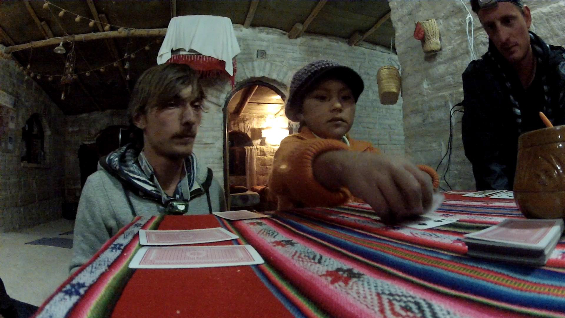
… but for sure, she beat us!
7:10 p.m. Last pictures outside, and it’s bedtime!
Nice view for a good night, neh?
June 6, 2012,
Chuguana Desert and Volcán Ollagüe, Laguna Hedionda, Laguna Honda, Siloli Desert, Laguna Cañapa, Valle de Rocas, Laguna Colorada
Lot of names eh! Yep, the day will be long, and starts now, early morning, around 6 a.m.
Nice little sunrise…
Holà!

The hostel wakes up slowly…
First stop of the day in a little village named San Juan… Some are buying little stuff in the only grocery store (so, touristic, so, pricey), while our driver is having a beer with his friends (that’s what we were thinking…

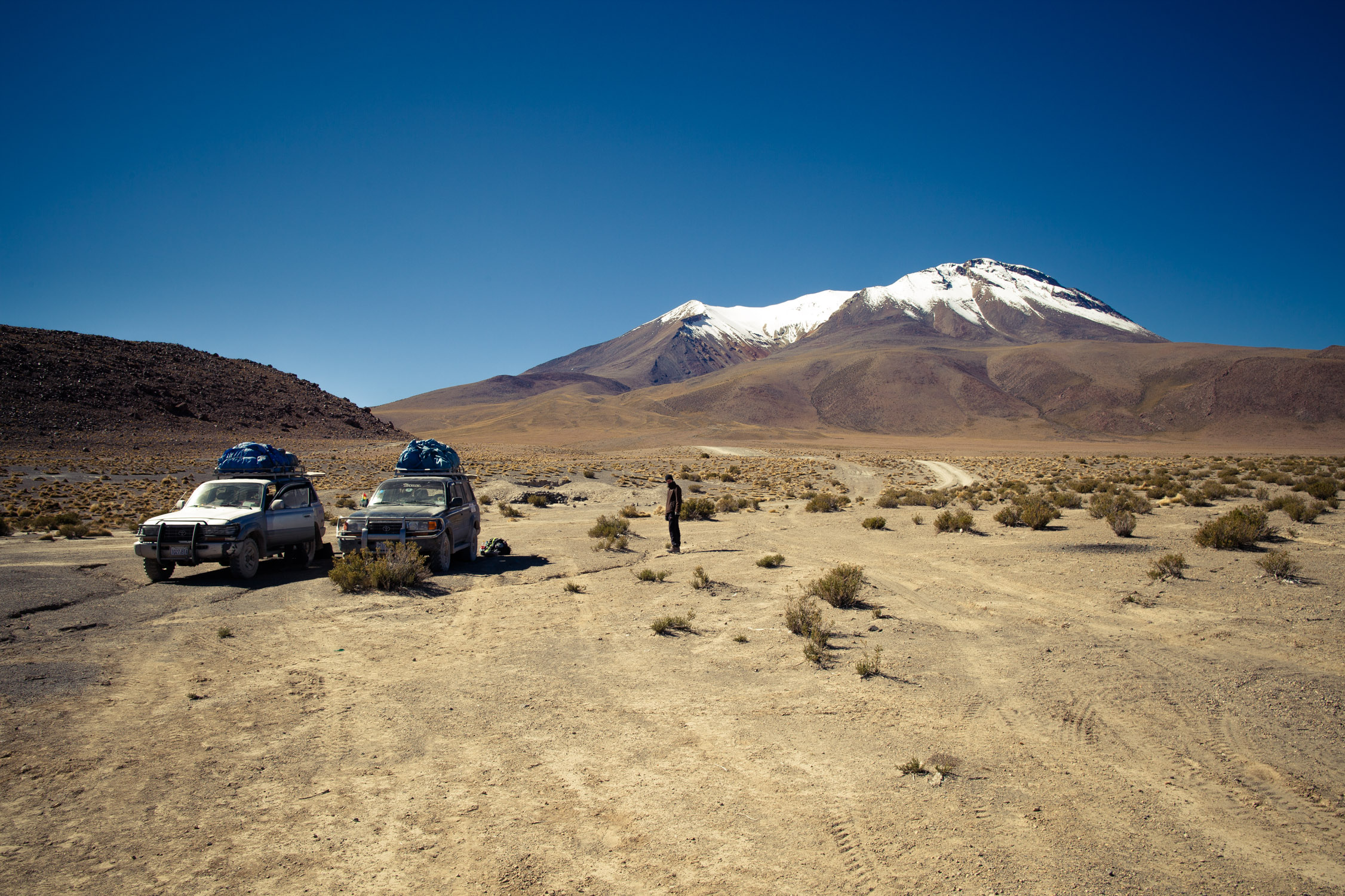
Chuguana Desert et Volcán Ollagüe
GPS: -21.36011, -68.02563
One hour away form our camp, we reach the Chuguana Desert, surrounded by volcanoes. Some are asleep, some extincted, and the Ollagüe is still semi-active (it hasn’t had any recent eruption, but fumaroles are visible on its side).
No more salt. Here, we’re in a rock desert.
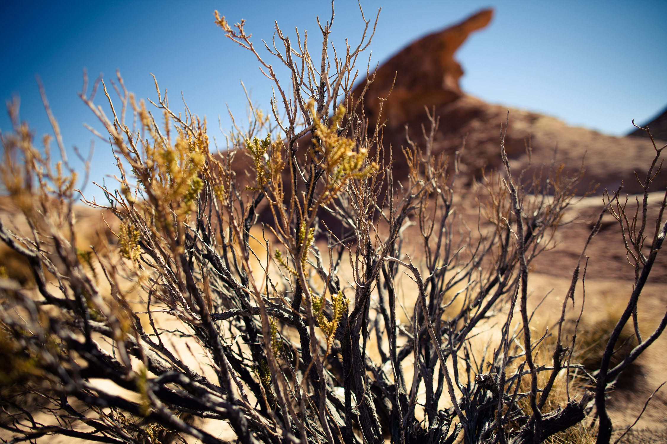
All is dry, not much life…
… except for tourists.
(Felix, our travel buddy)

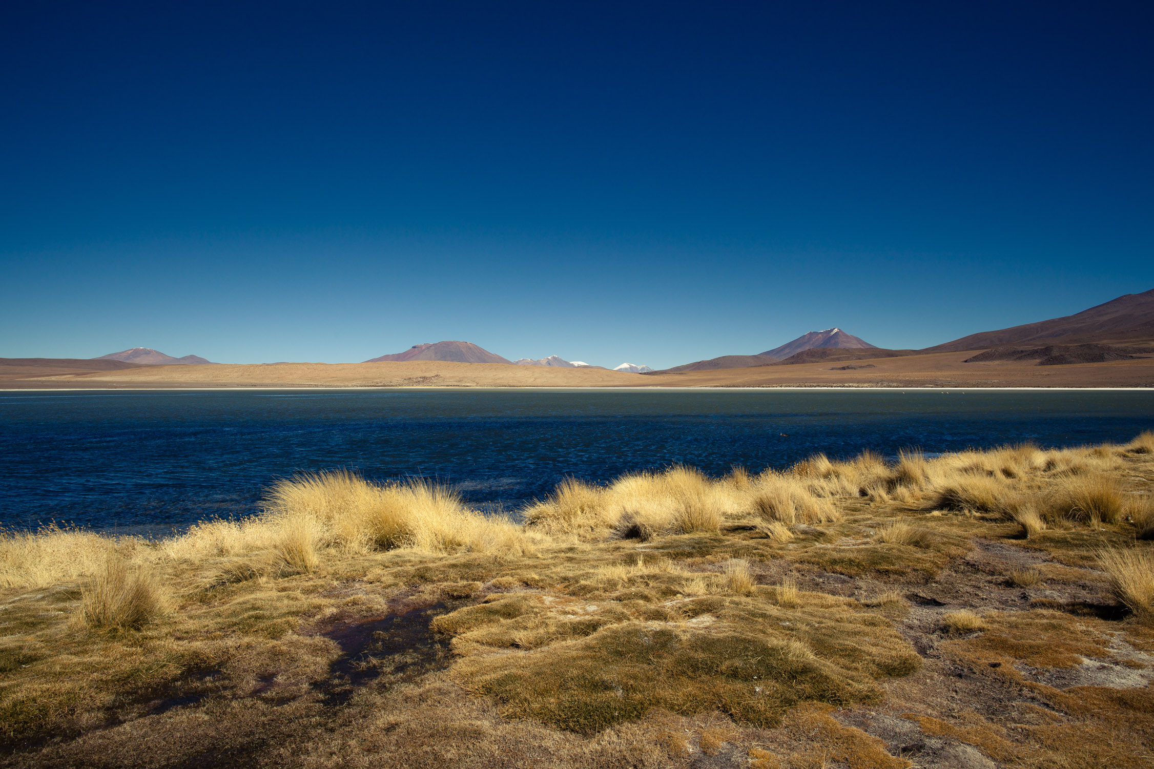
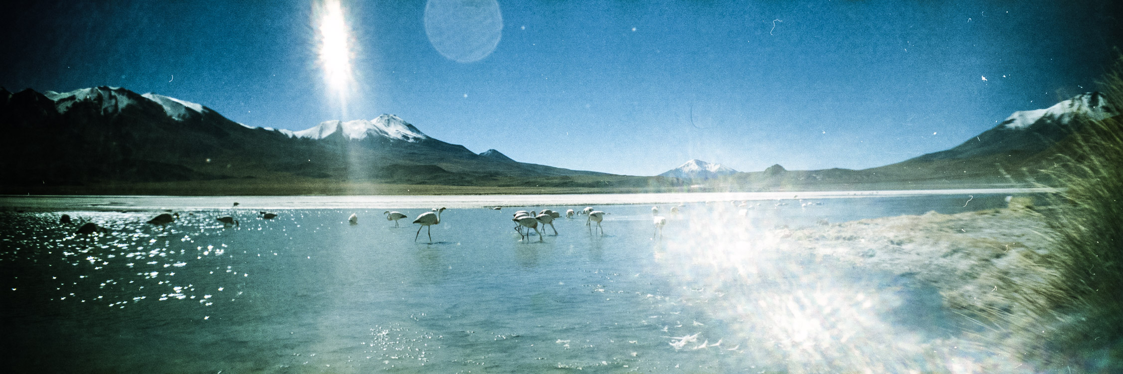
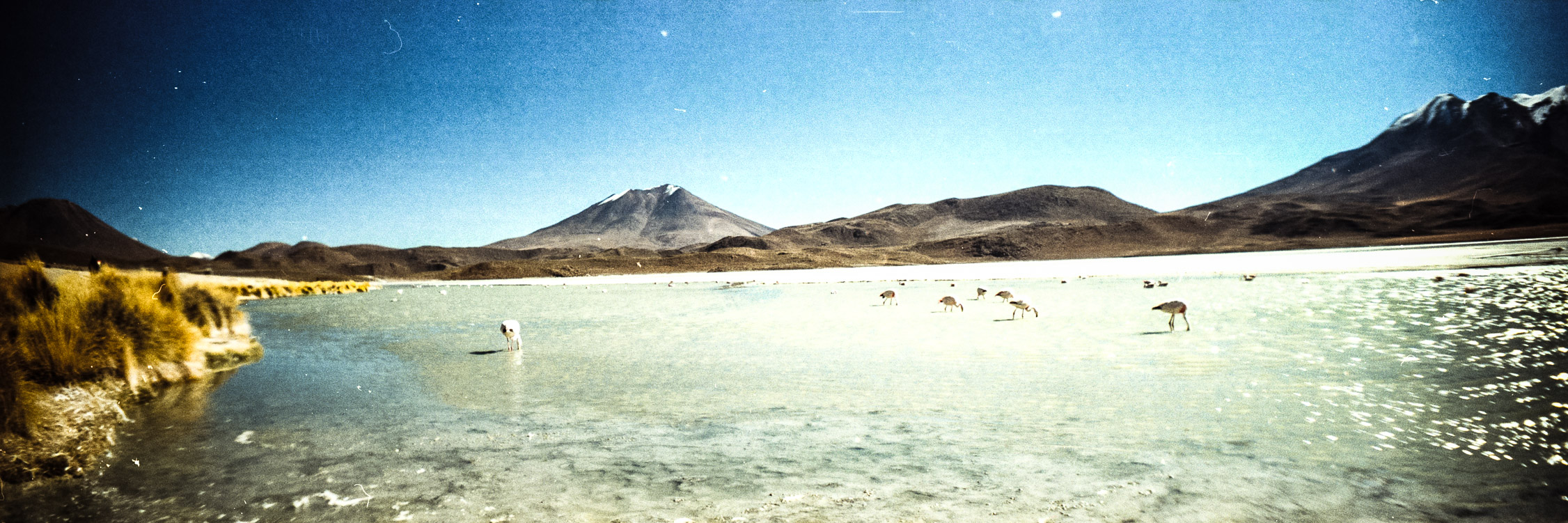
Lagoons Hedionda, Honda and Cañapa
GPS: -21.57131, -68.03620
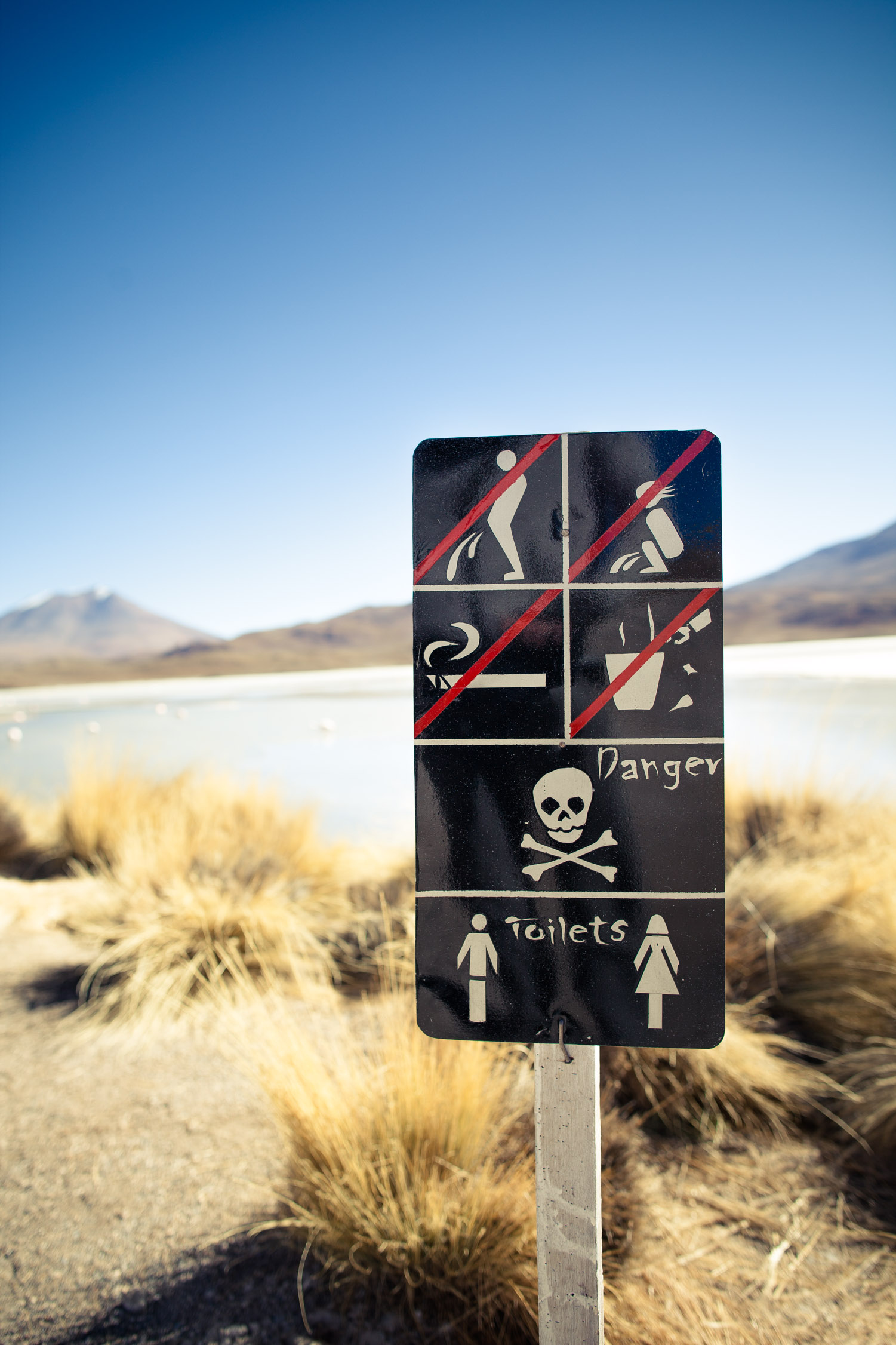
Aaaah the lagoons! Small blue pearls in the middle of the desert. Small lakes, often full of minerals, flora, and often inhabited by flamingos.
Look at this beauty!
And first stop, for lunch: Laguna Hedionda.


On the shore of the lagoon…

… and if we look on the other side, everything is dry. These landscapes are really amazing.
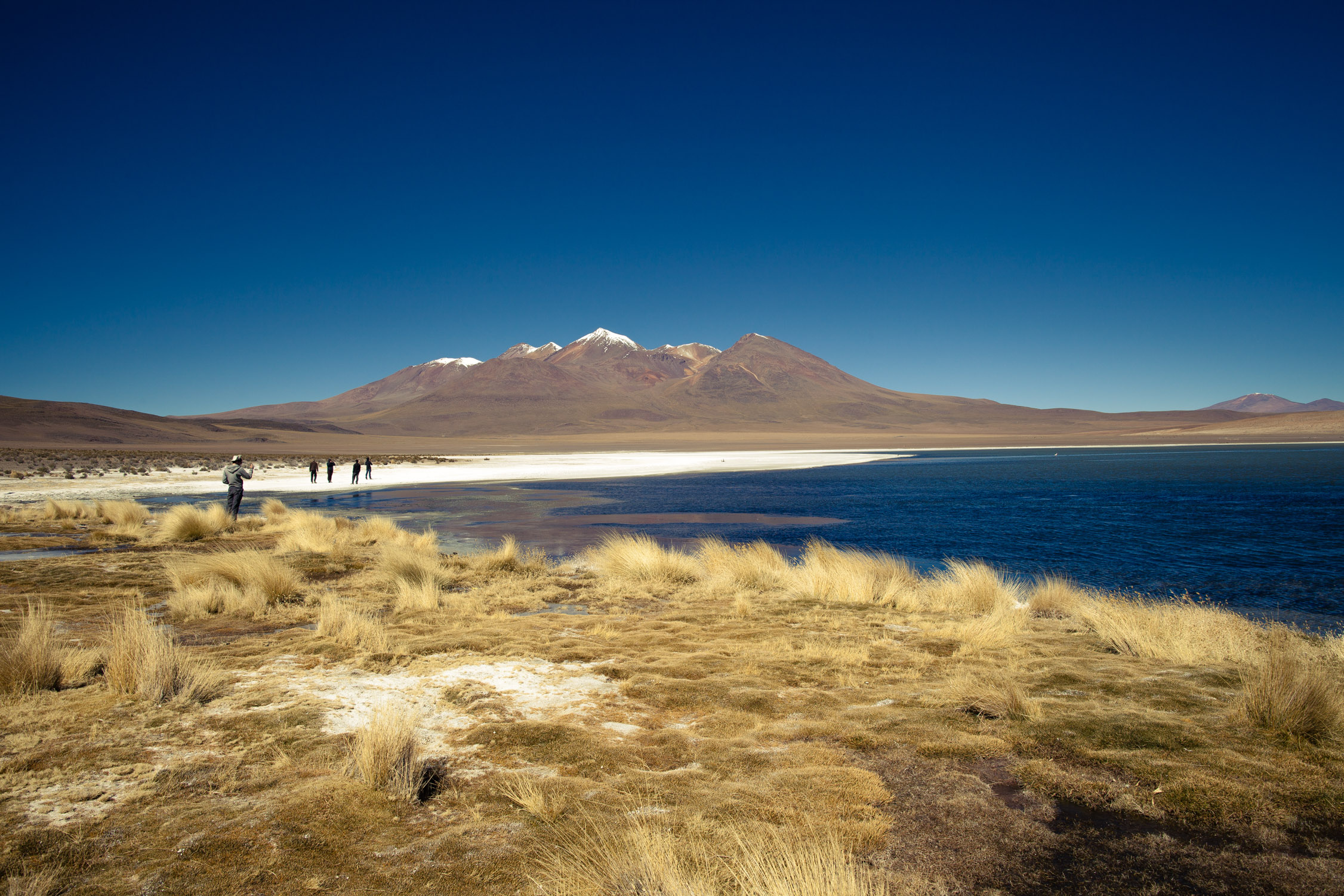
Aren’t we in the middle of nowhere?

Oh! A lonely flamingo! (it’s alone on this lagoon…)
End of the lunch!
Hahahaha
Several kilometers Southern, another stop, by the Laguna Cañapa. Here, touristic pleasure, a lot of flamingos!
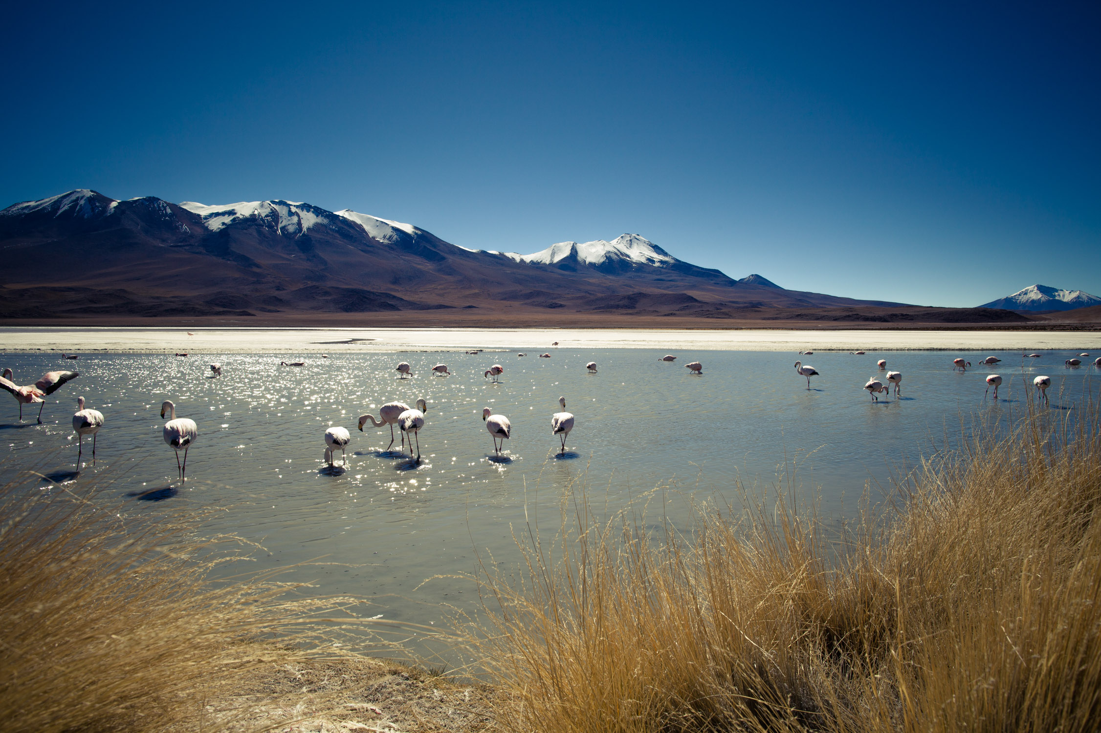
And here, not one, not two… LOT of flamingos!

And even more!
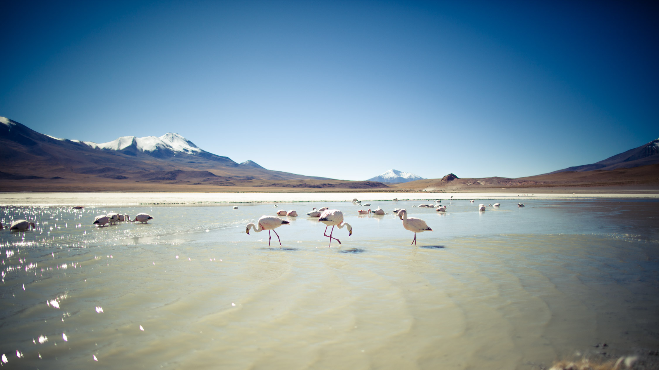
And more! So beautiful!

Rules to follow… It makes Carolyn laugh.
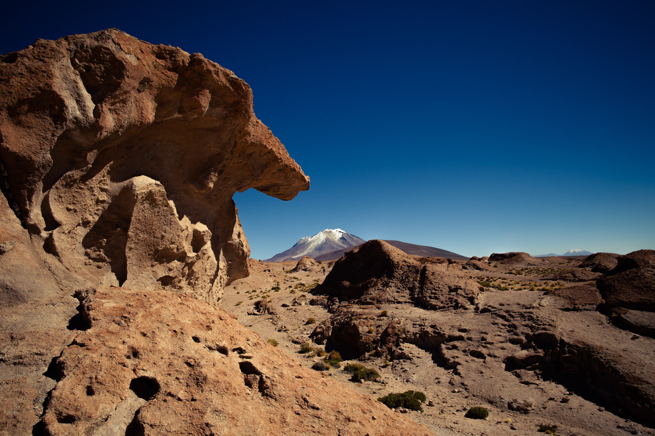
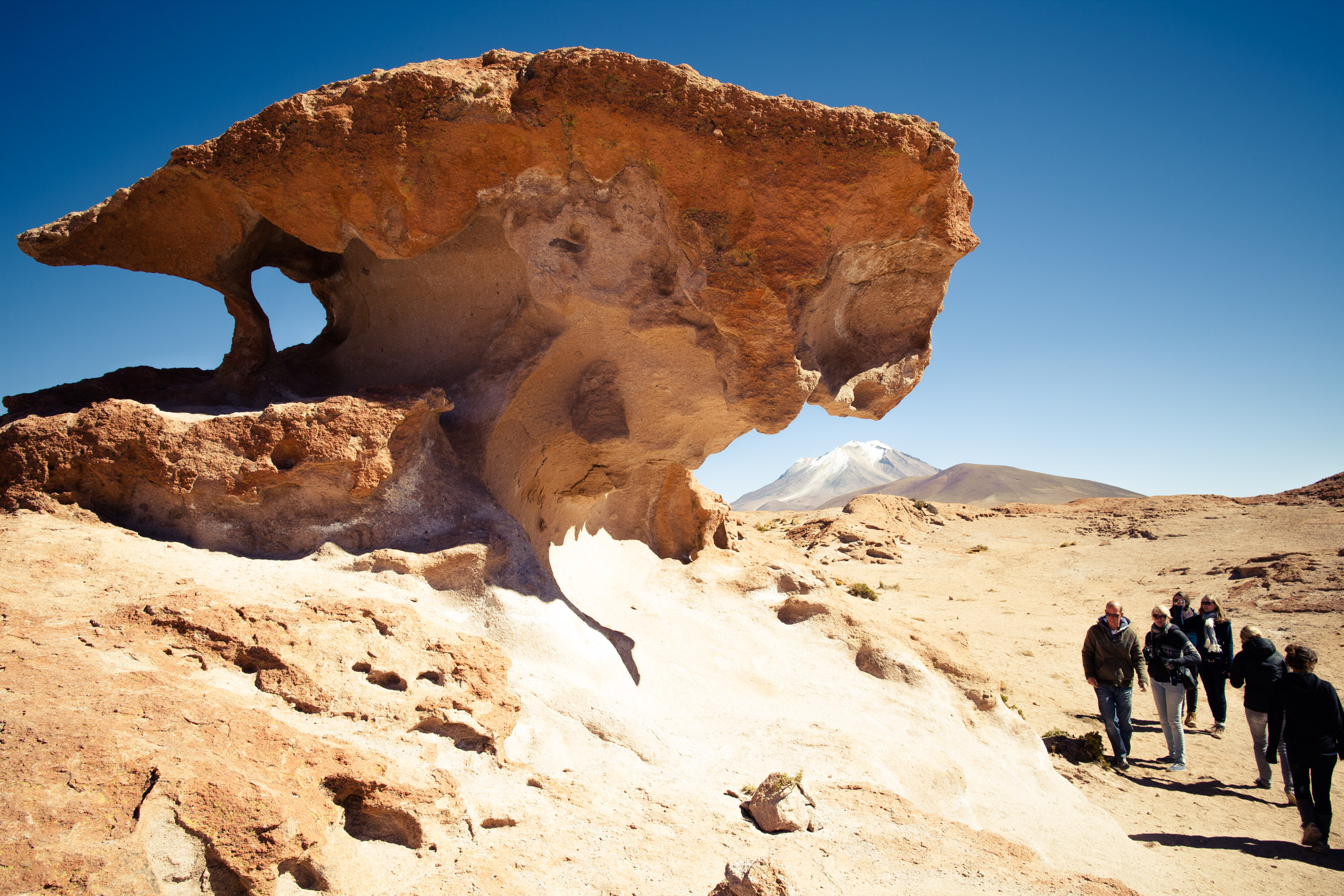
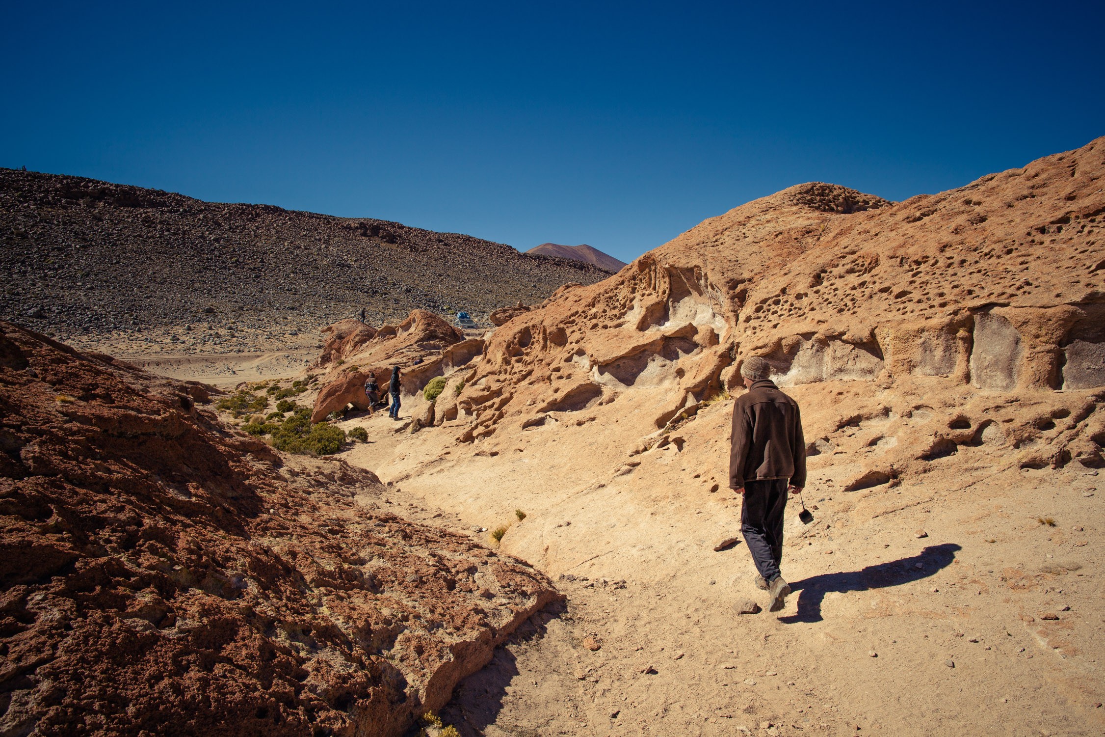
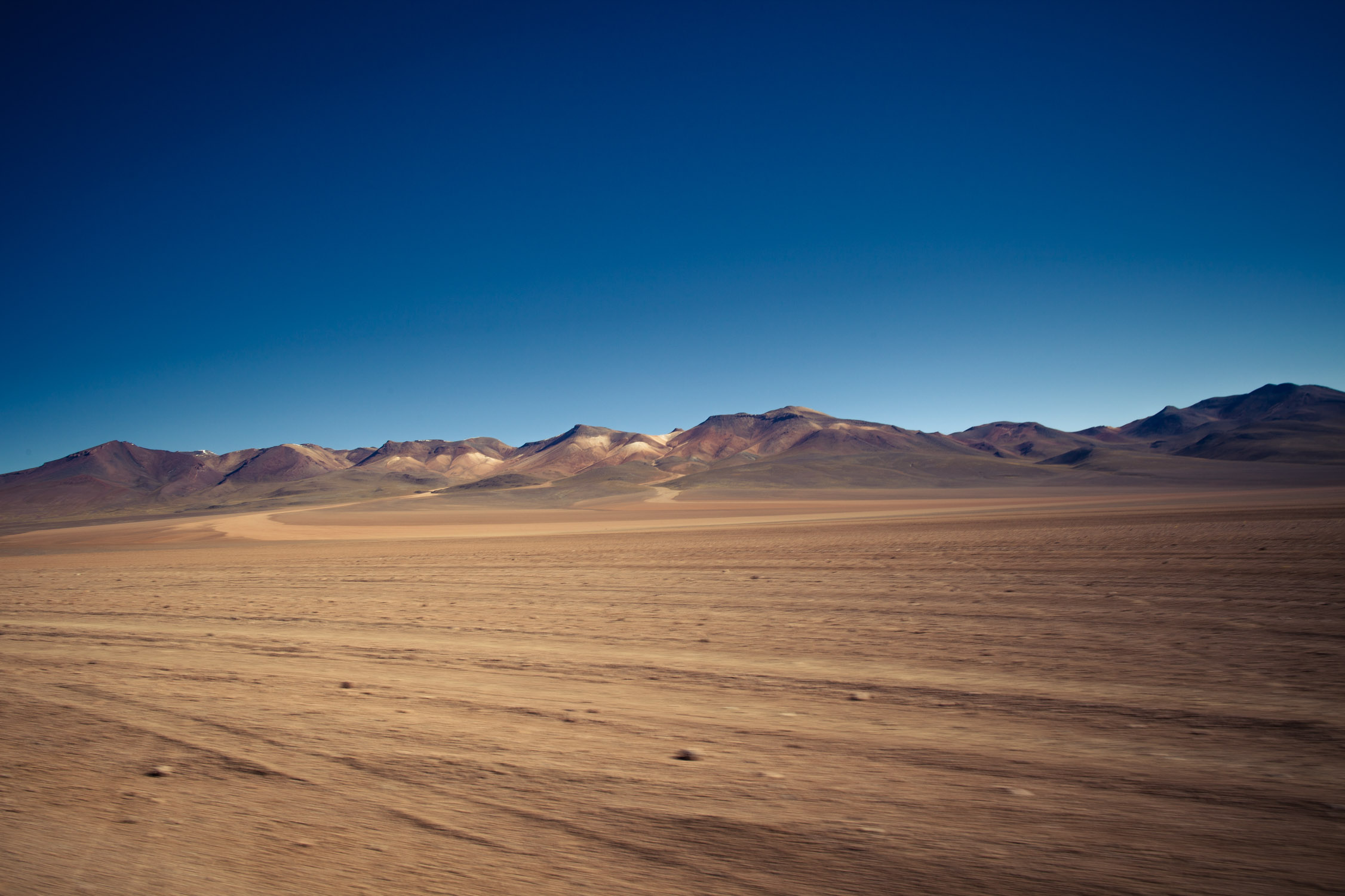
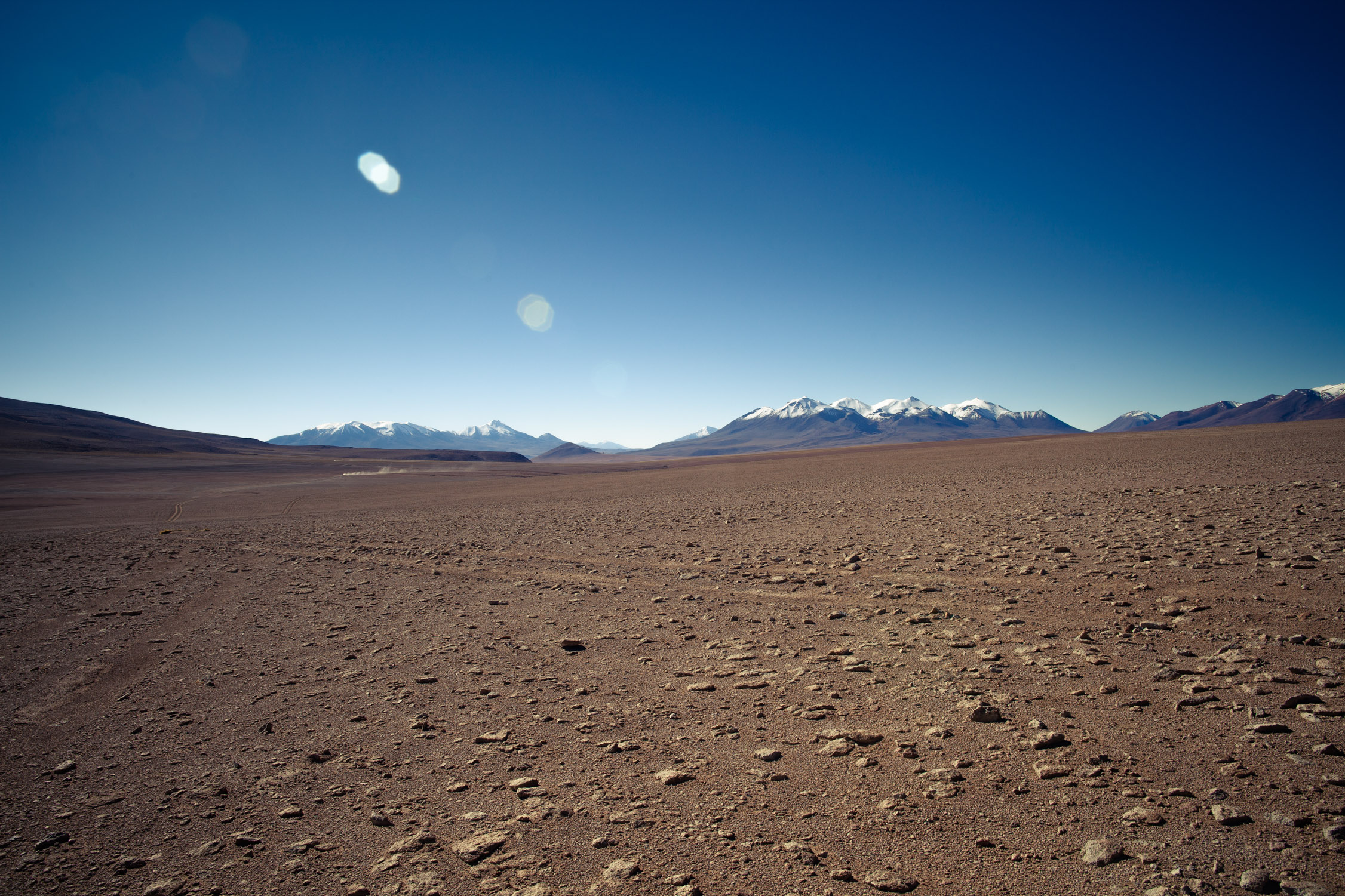
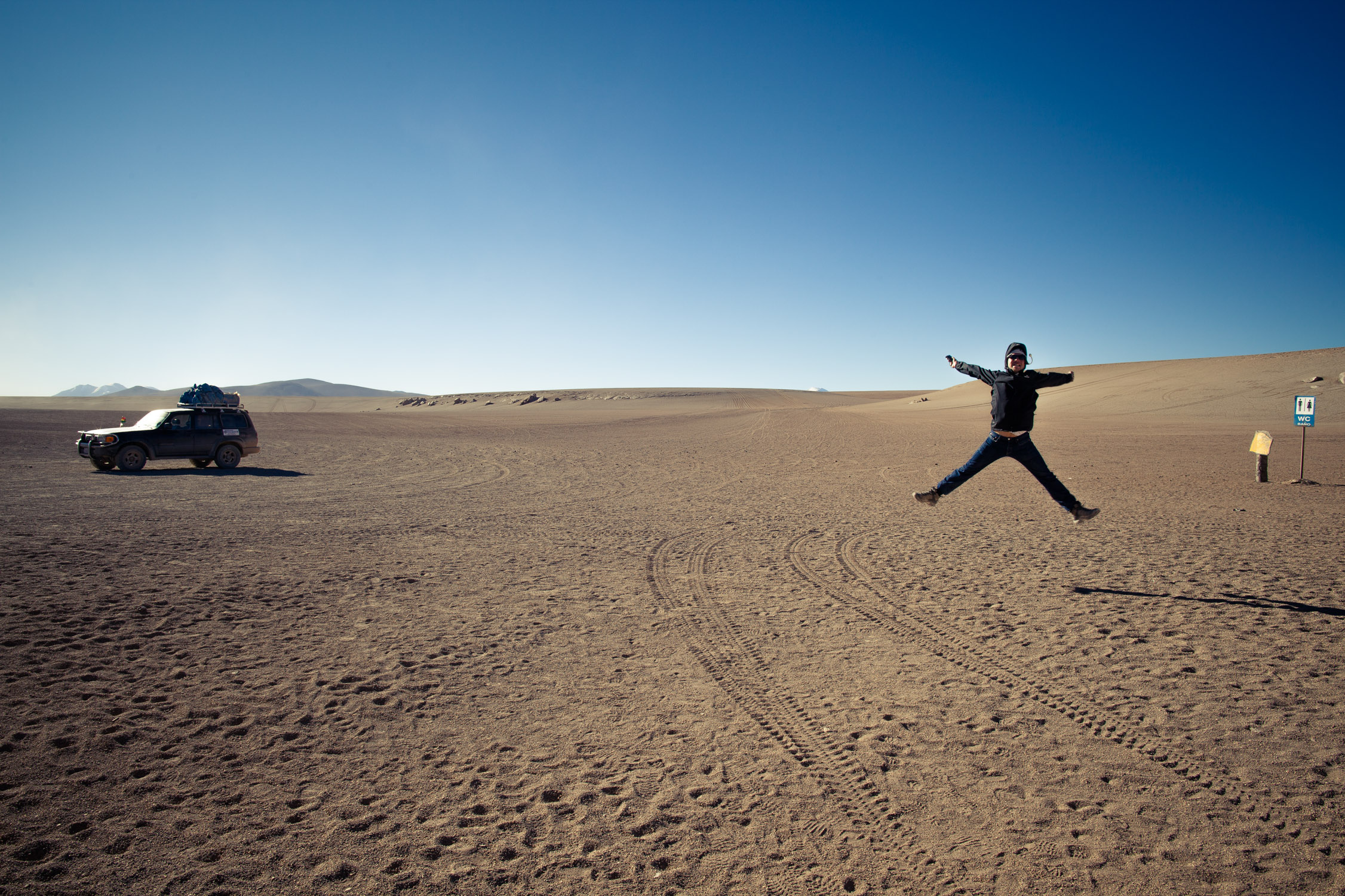
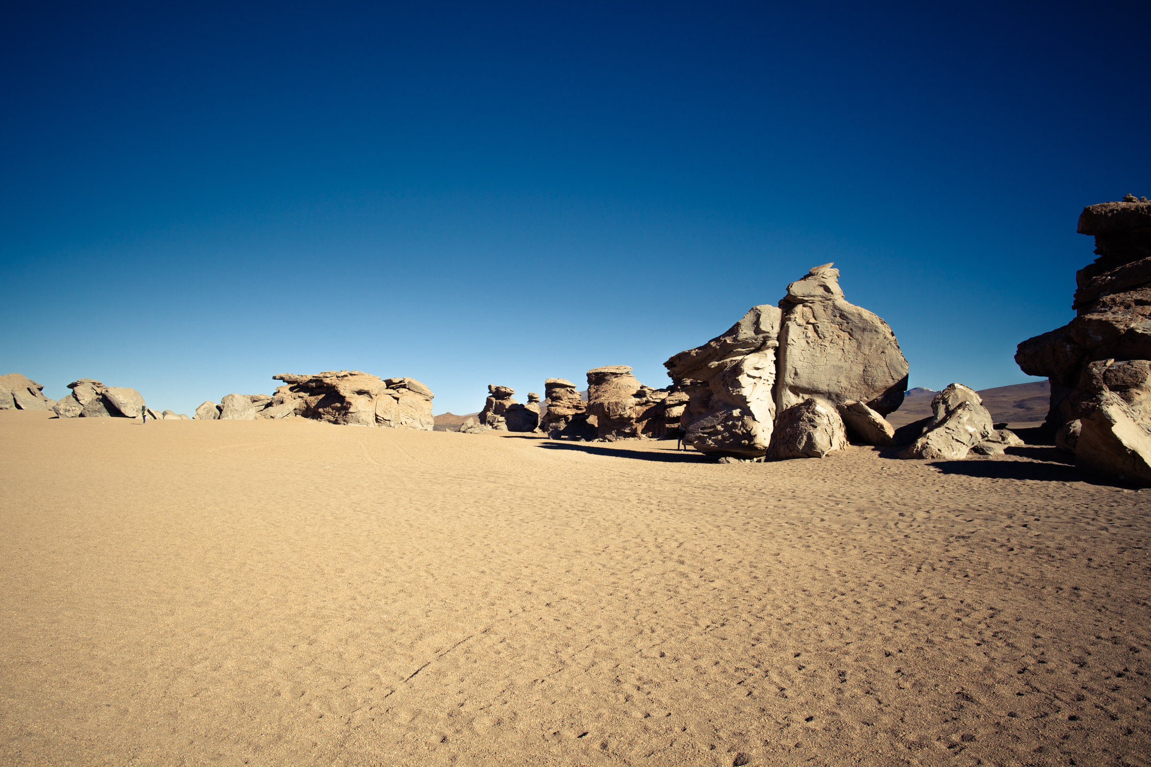
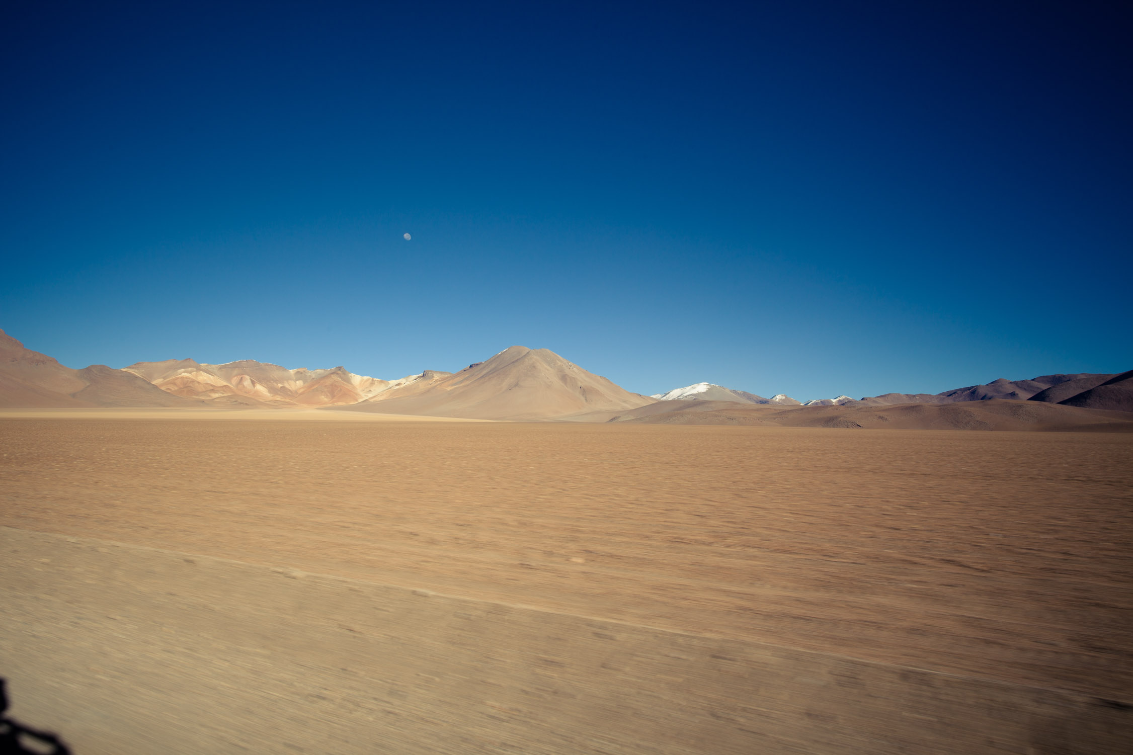
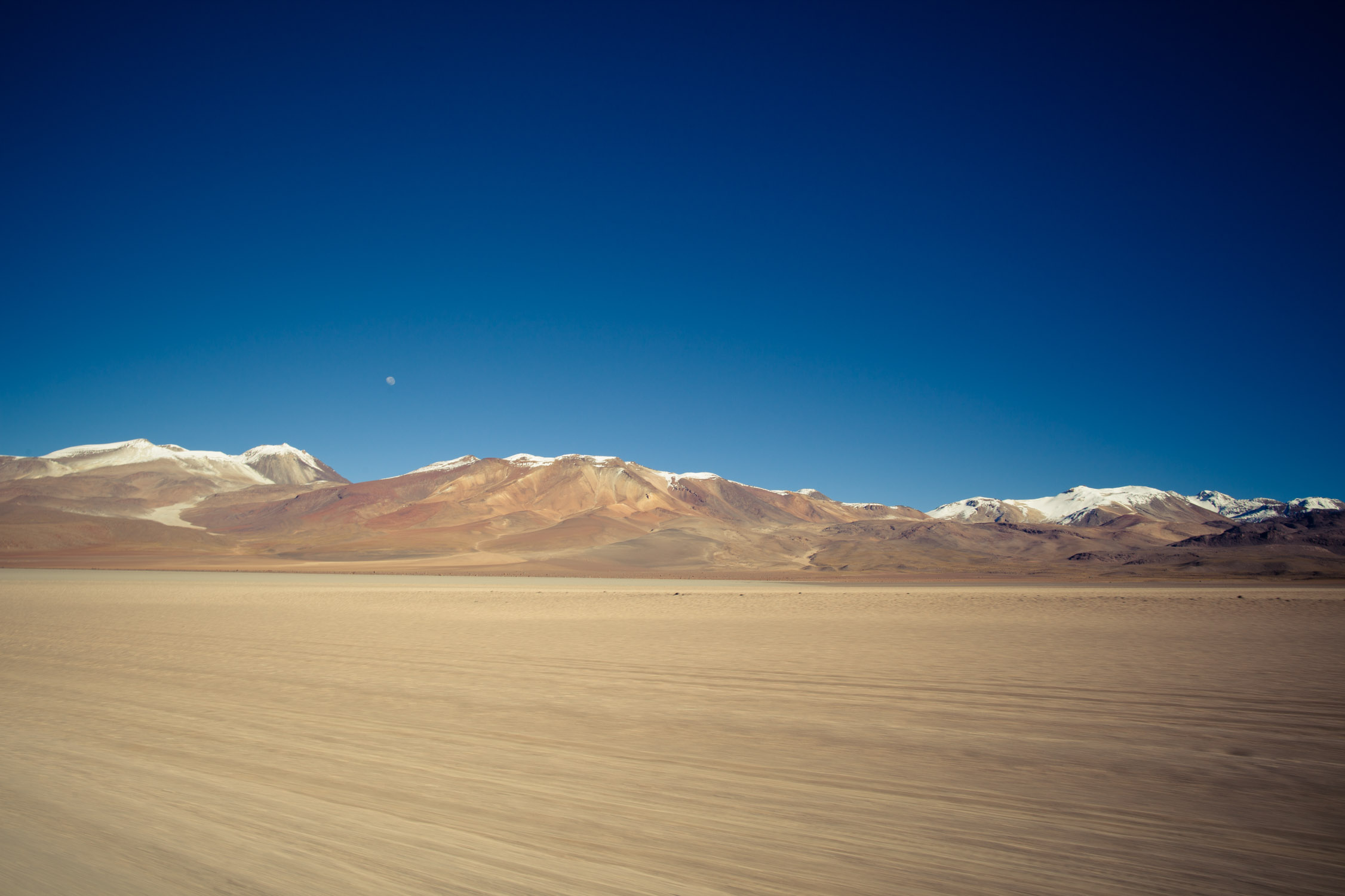
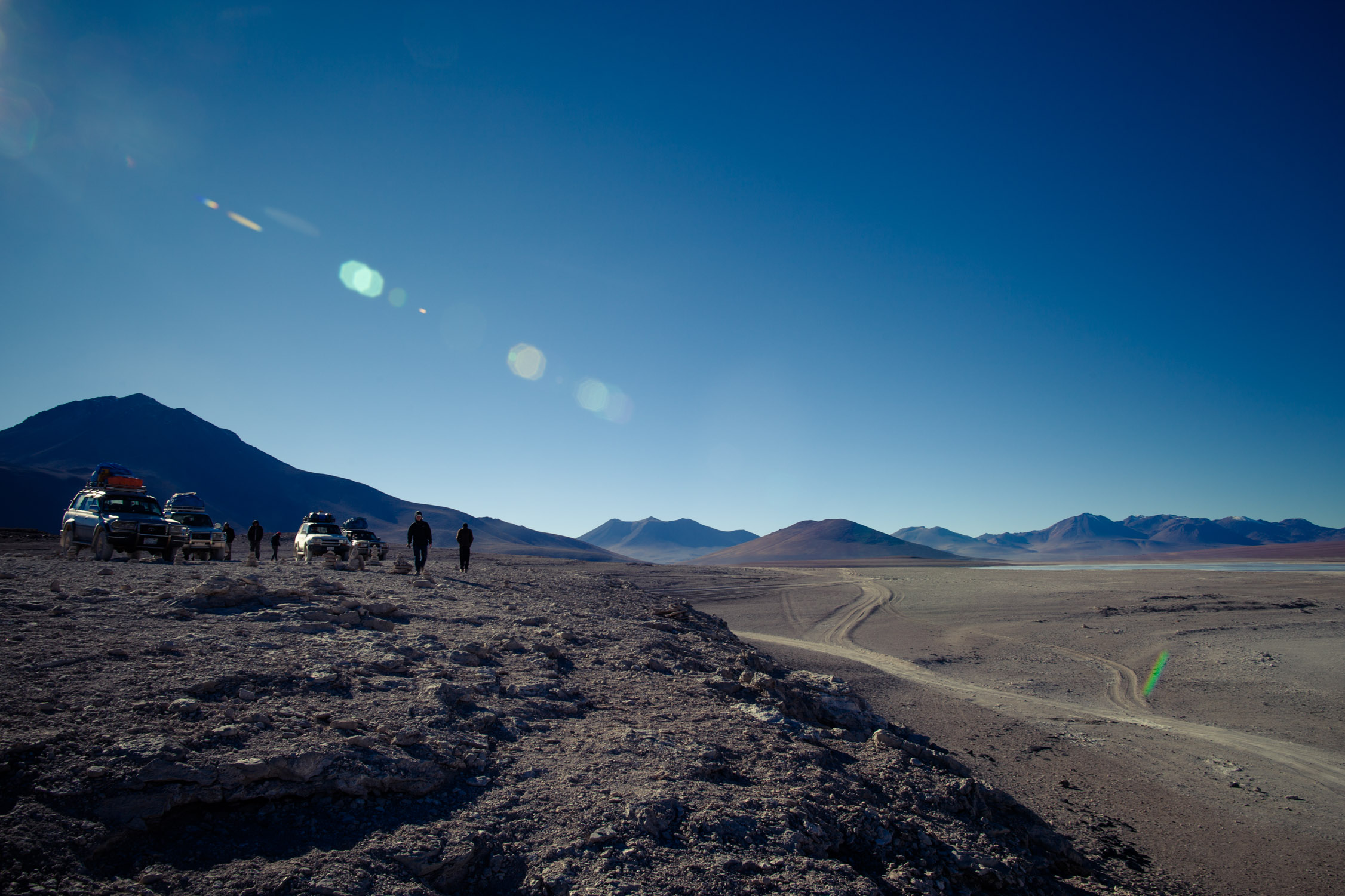
Siloli Desert, Valle de Rocas
GPS: -22.05173, -67.88312
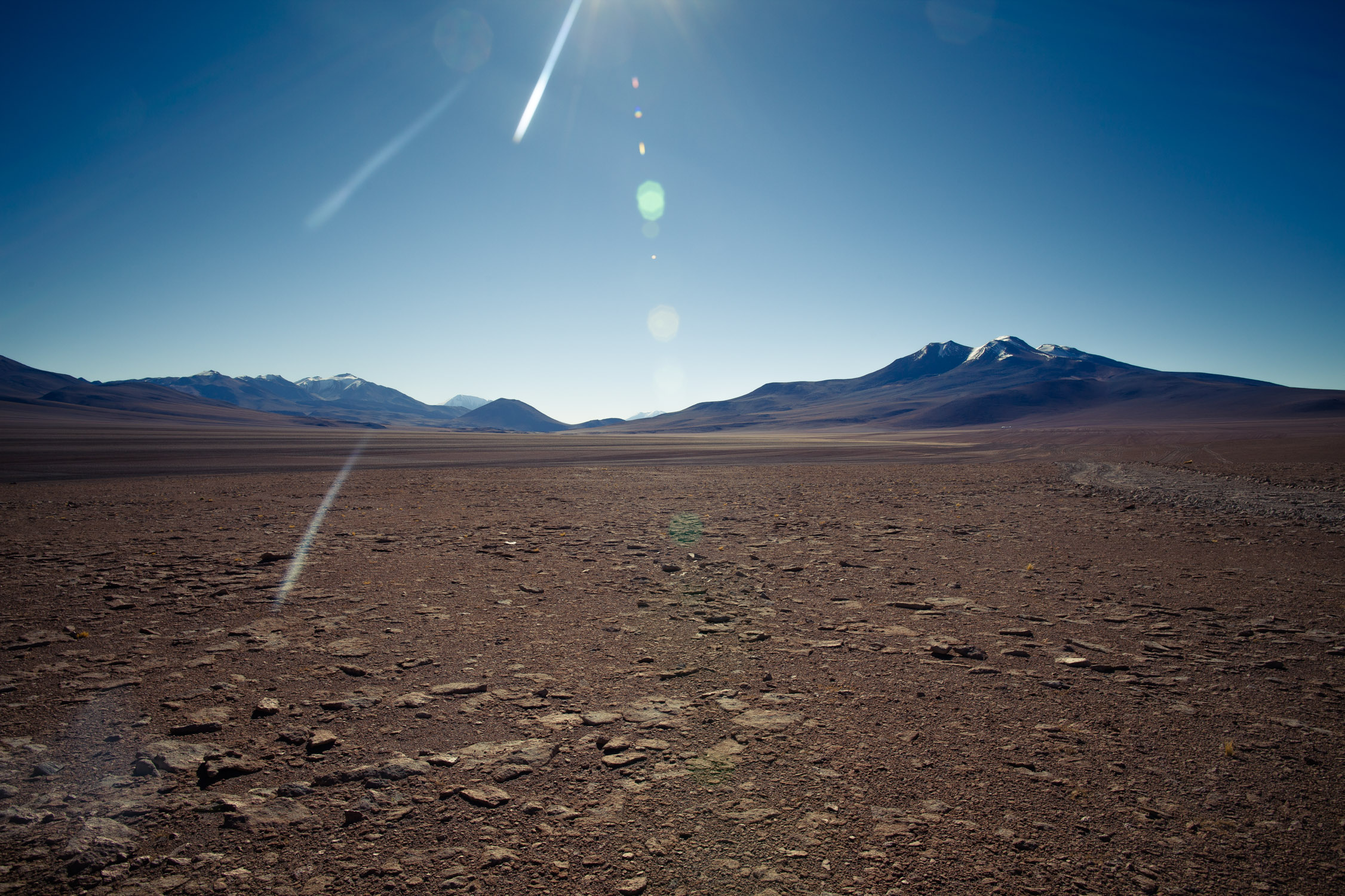
After the lagoons, the road continues and goes away from any water trace. We drive up on a volcanic plateau, at 15,000 ft.
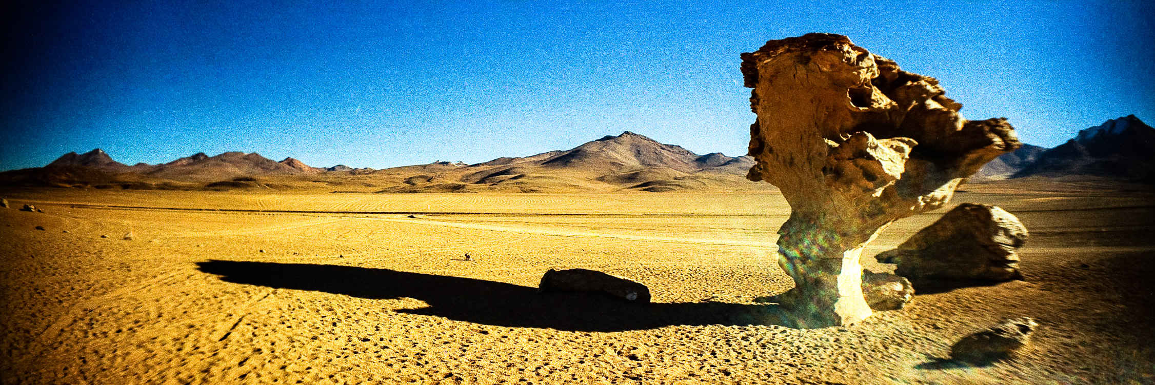
The Siloli Desert, the driest and highest one in the world, is known for its lava formations (that look like they came out of… nowhere) and its “Rock Tree”.
We go on, with joy and happiness…
Surreal landscapes…
… and welcome on… Mars!
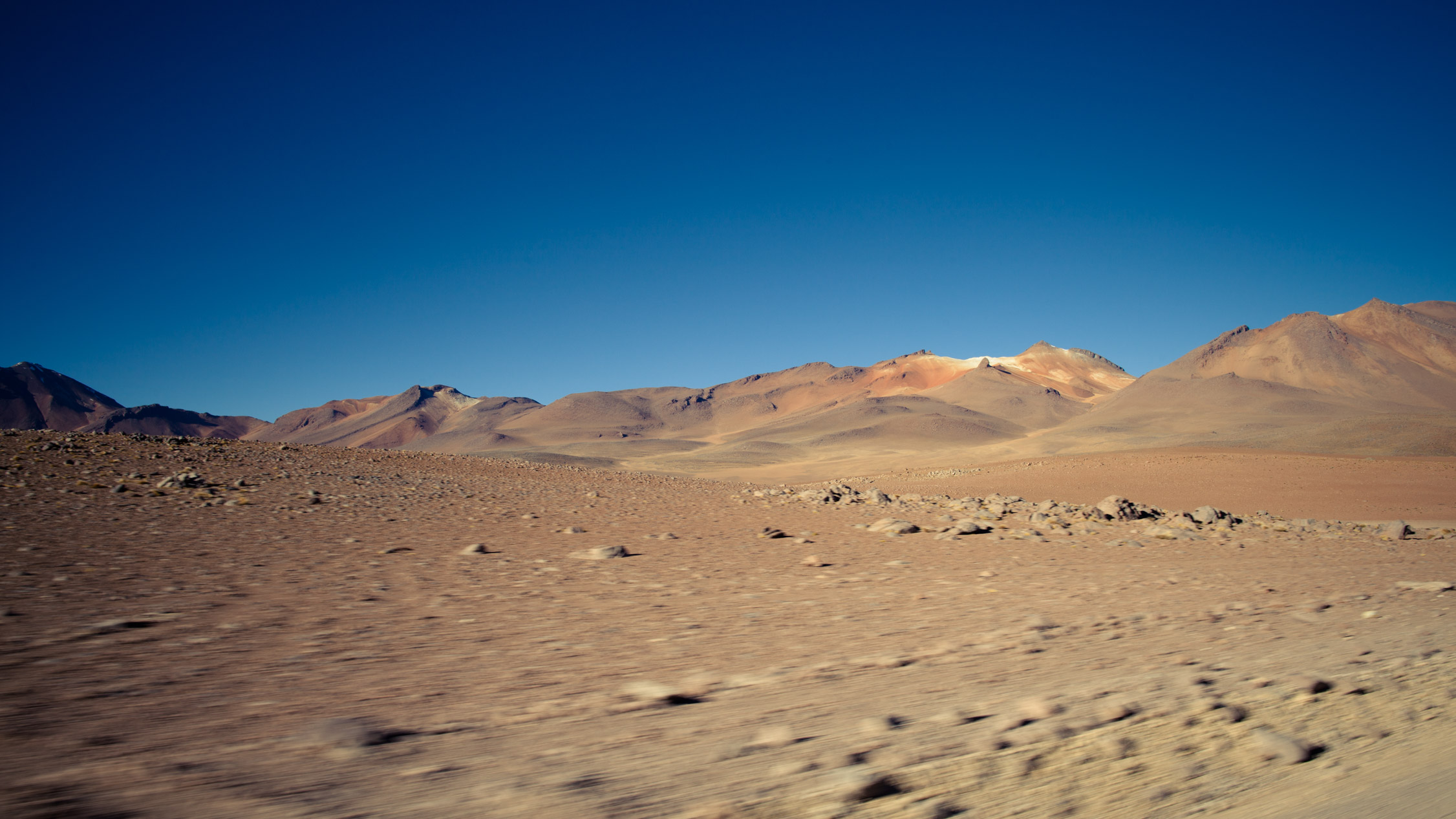
We’re on Mars now, and a few kilometers after, we arrive in Valle de Rocas, valley full of rocky formations from the eruptions of the volcanoes around.
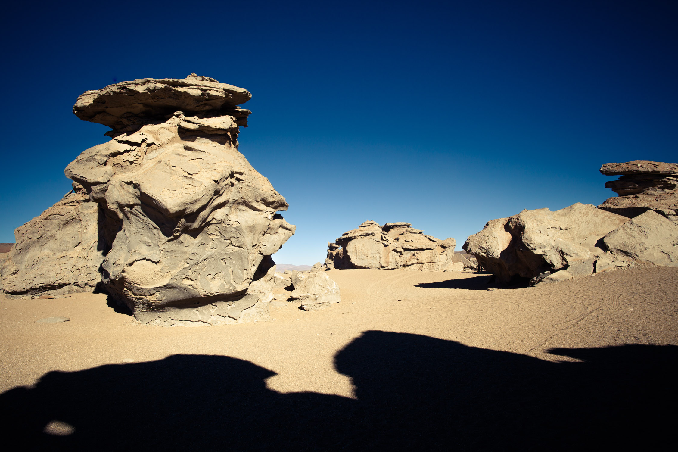
Amazing.
Yeah!
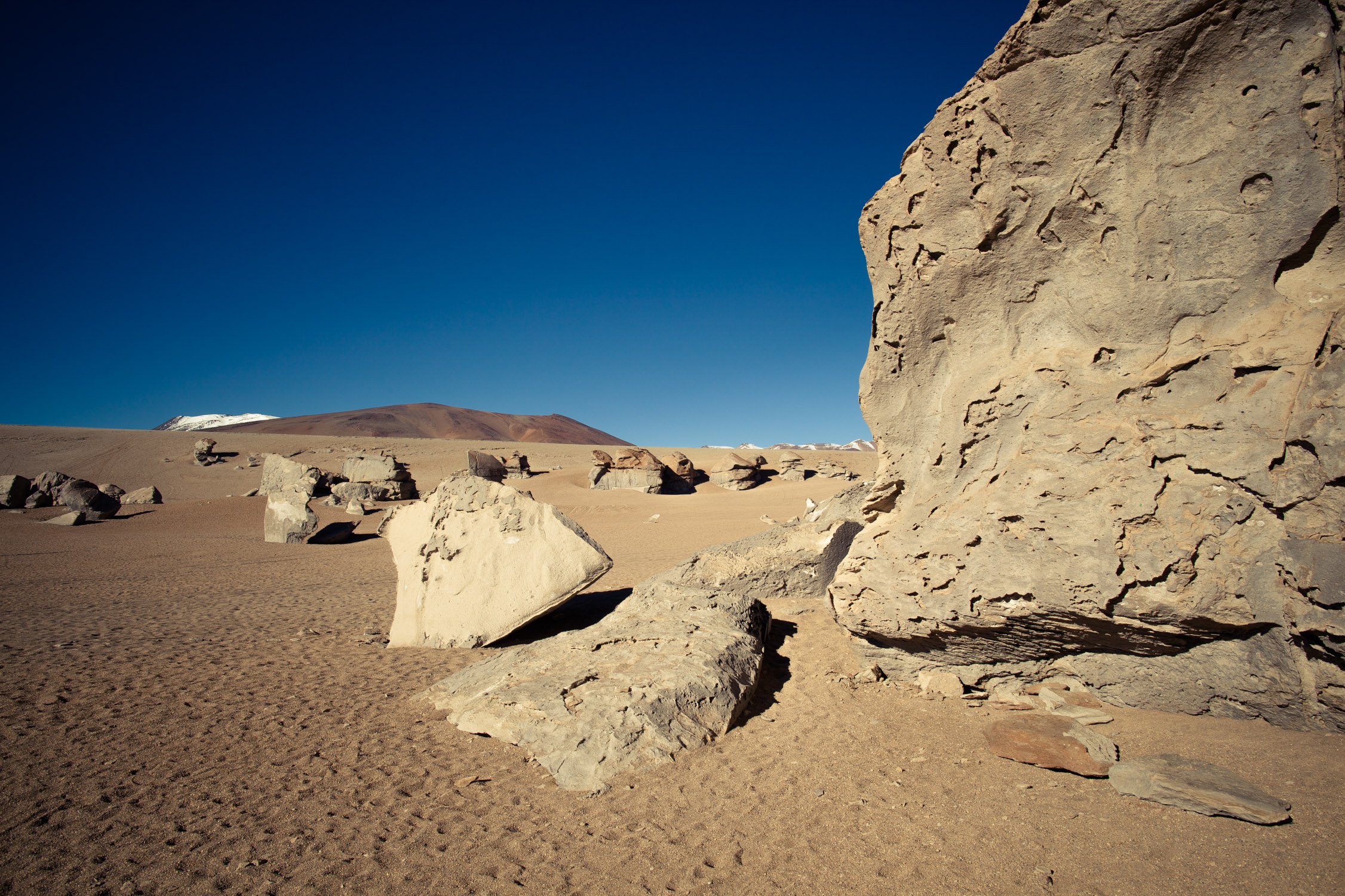
Sand and volcanic rocks.
There.
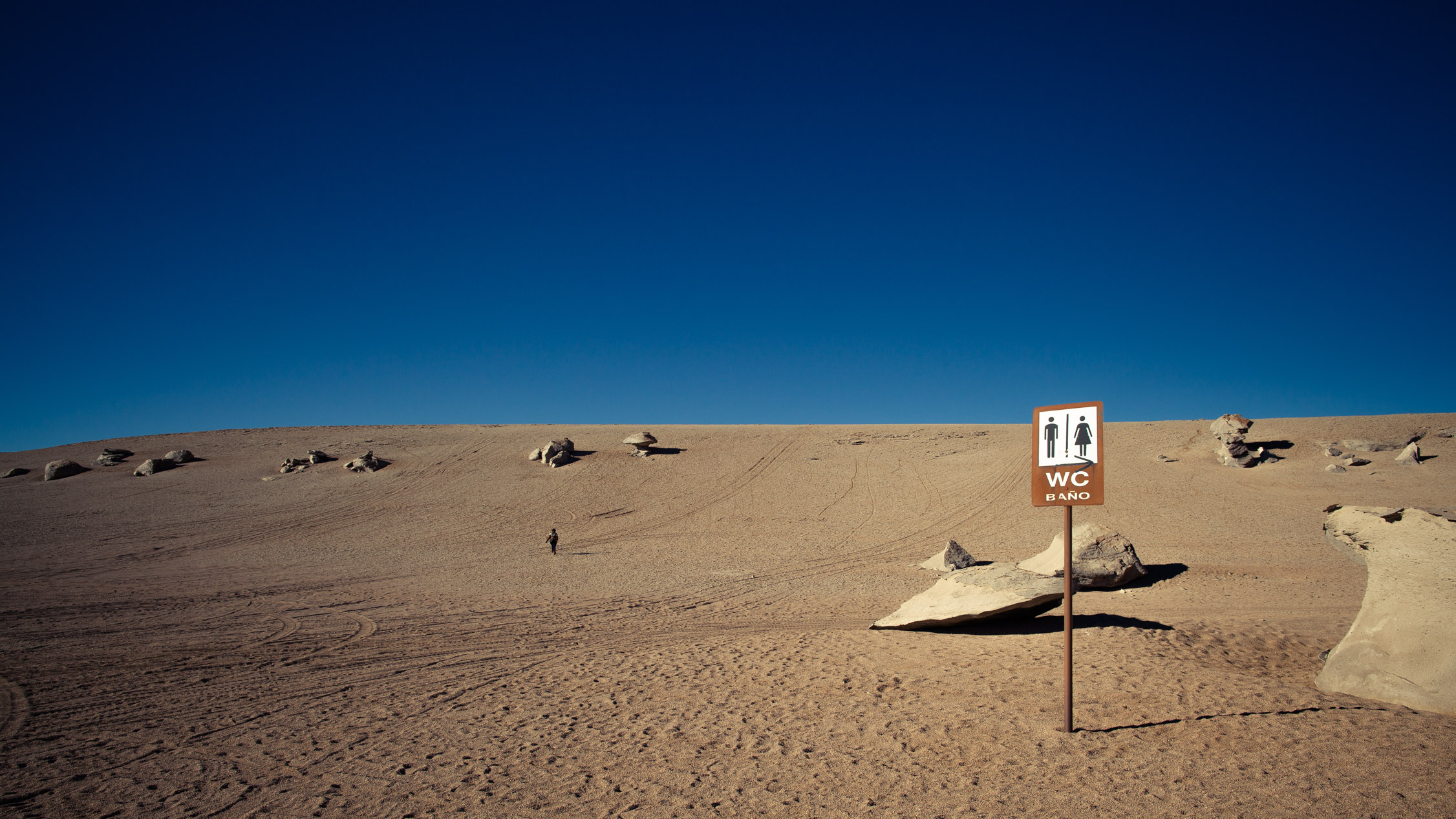
And if you need to use the bathroom, get ready to walk a bit!
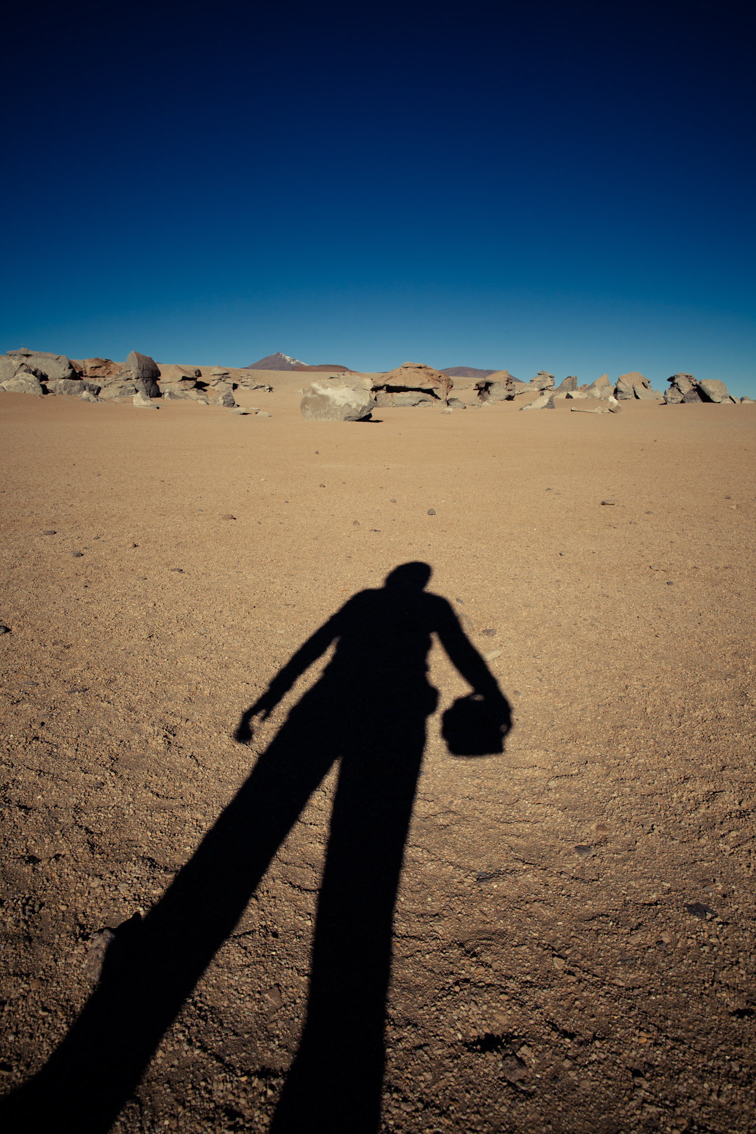
Self-portrait as an astronaut
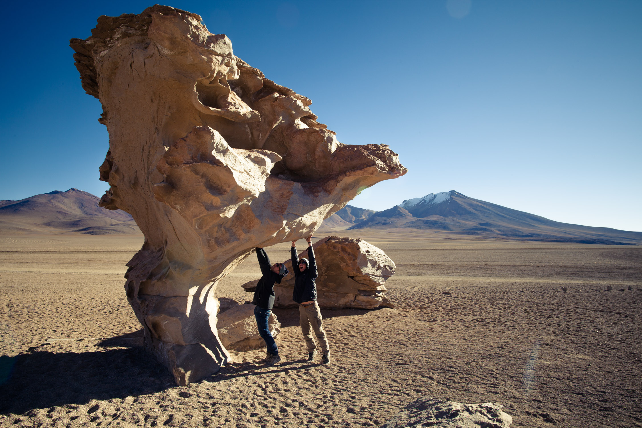
The famous “Rock Tree”. We wonder how it stands up!

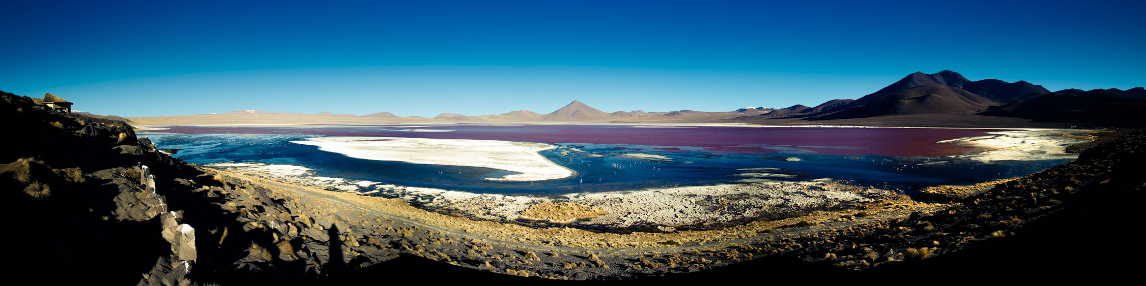
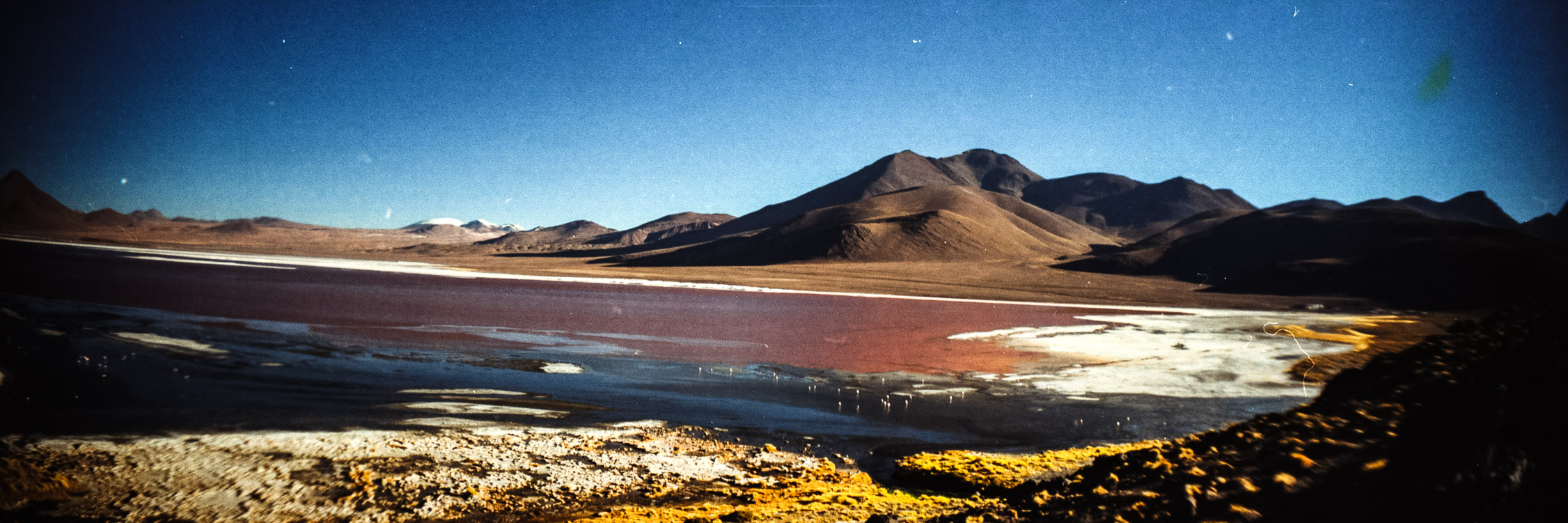
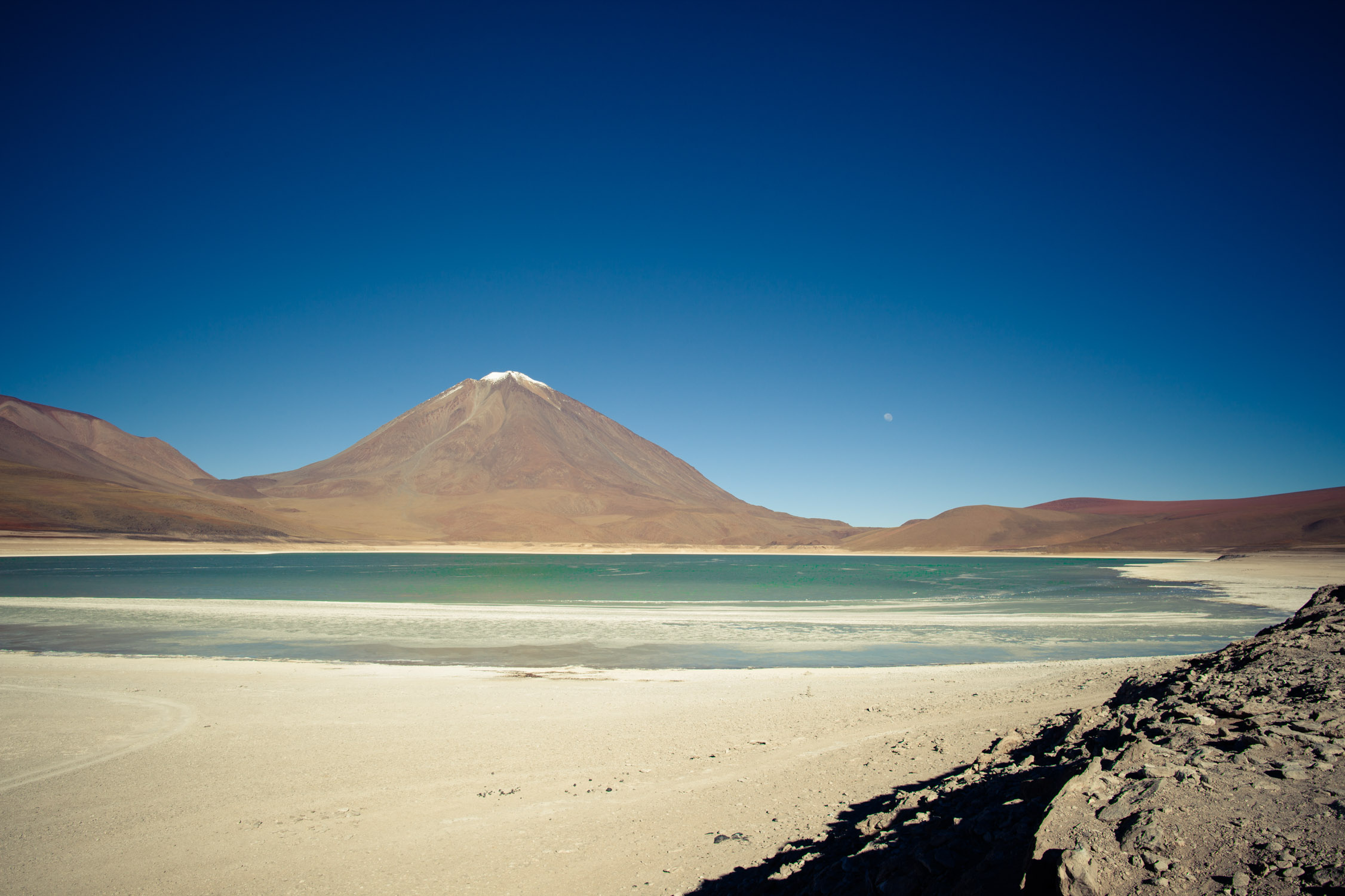
Laguna Colorada
GPS: -22.202, -67.773
Last stop of the day: Laguna Colorada. This lagoon, with a really distinctive color, is protected (part of the Eduardo Avaroa Andean Fauna National Reserve): no way to go on the shore.
23 sq mi, 12 in deep only. Its red color is given by some sediments and algae in the water. It’s also the favorite lake of the Andean flamingos for reproduction. Interesting, no?!
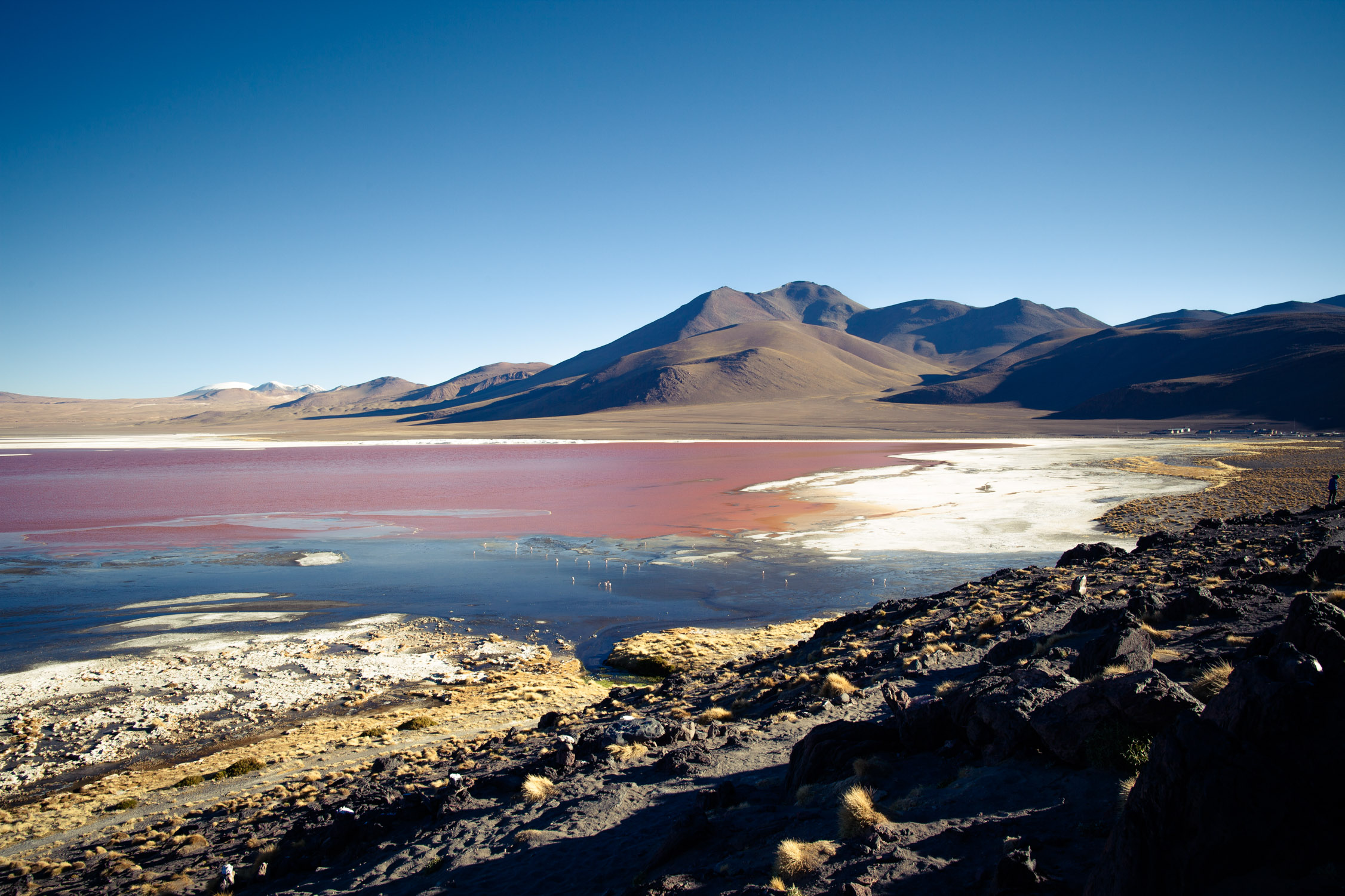
Blue, red, white. The white islands are borax islands (Na2B4O7•10H2O)…
Laguna Colorada night camp
GPS: -22.26516, -67.81592
And here we are, the second day is almost over. Long hours driving at high altitude, discovering amazing places et being in the cold and the wind.
We’re happy to get in a… well… cold place (not heated, 14,500 ft. up in the desert…). Luckily, the dinner is hot, as the feeling provided by a couple of beers we got and the wine they offered us. Last night together!
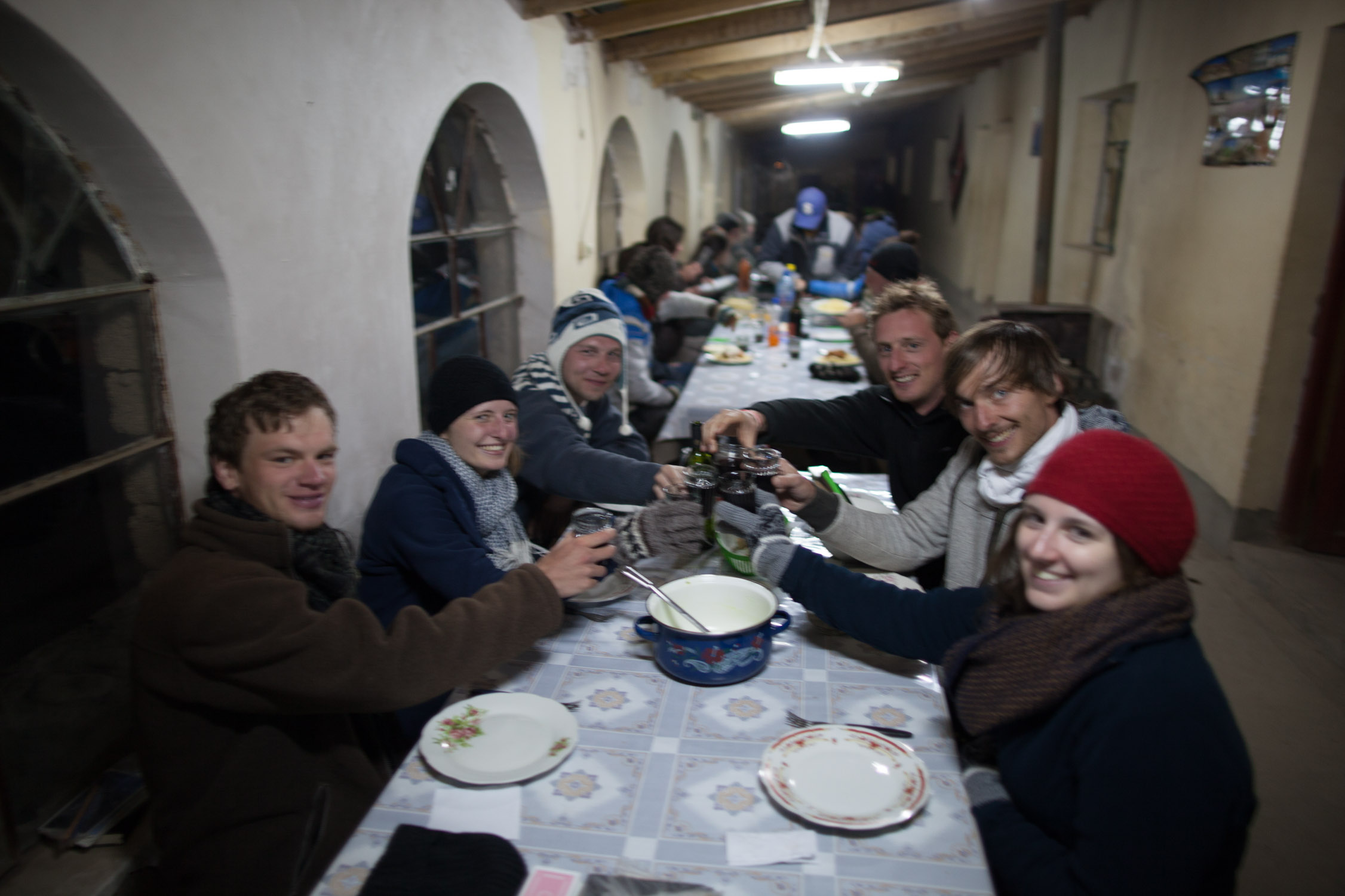
Cheers!
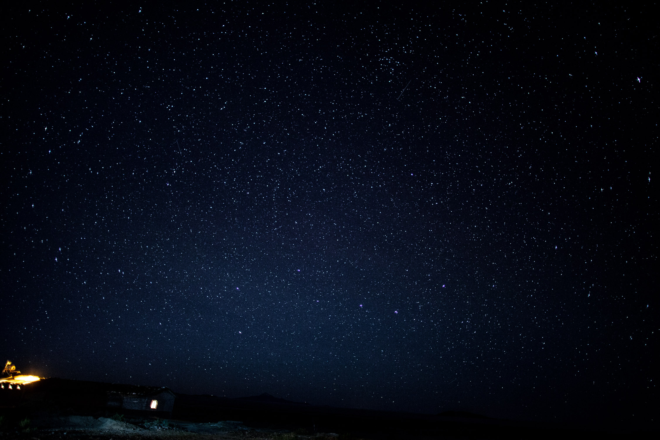
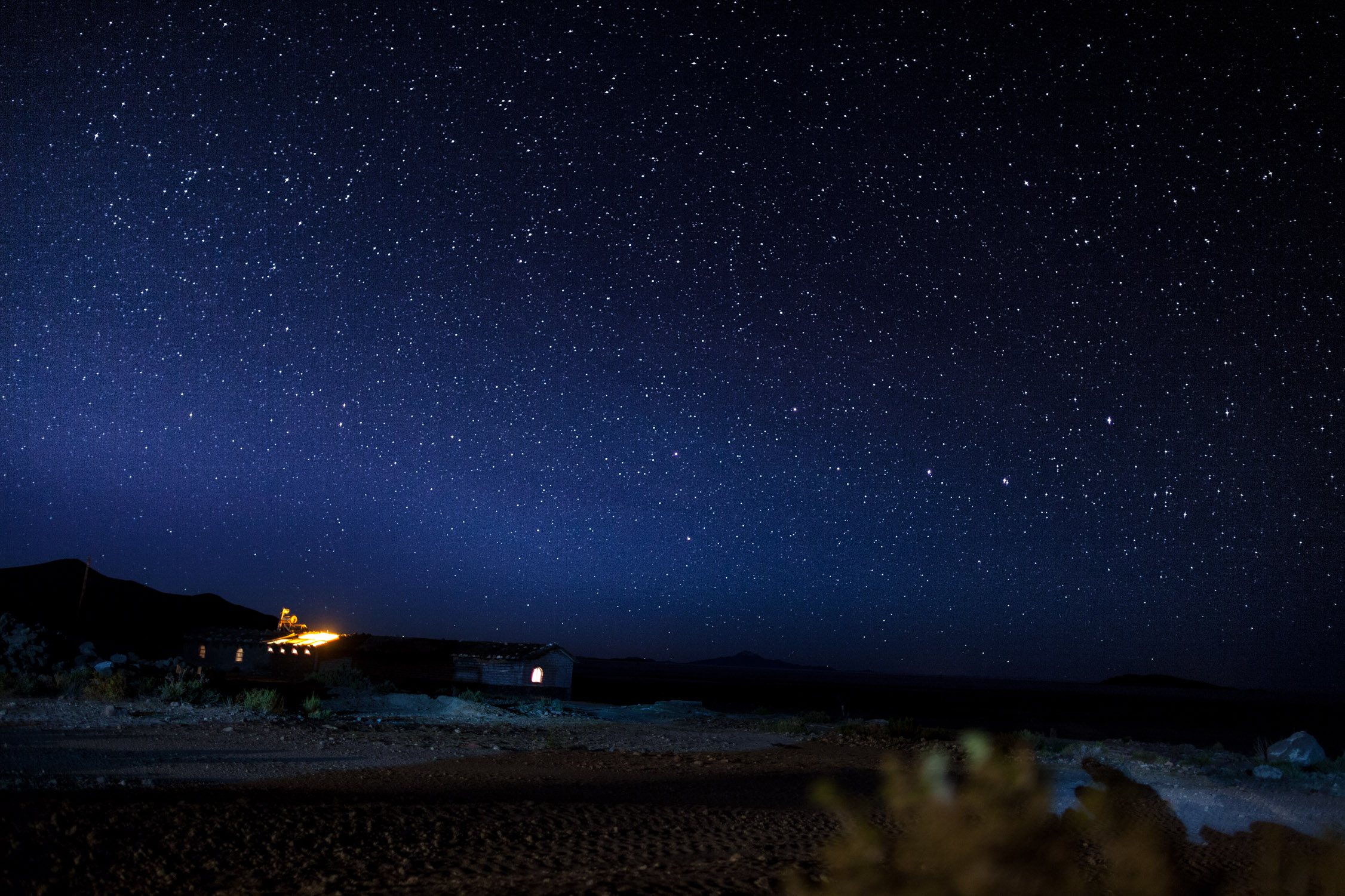
I’ve never been that prepared to go out for some night shots (even if the previous night brought a couple of good pictures…), I put all my clothes on, my hat and gloves (not easy to take pictures with gloves, but you can’t stay outside without them…). Not easy to take night pictures without tripod either, but I needed to travel light, and I’m quite wily… I manage to take several good (?) shots of the clear and amazing sky above us. Admire them! ![]()
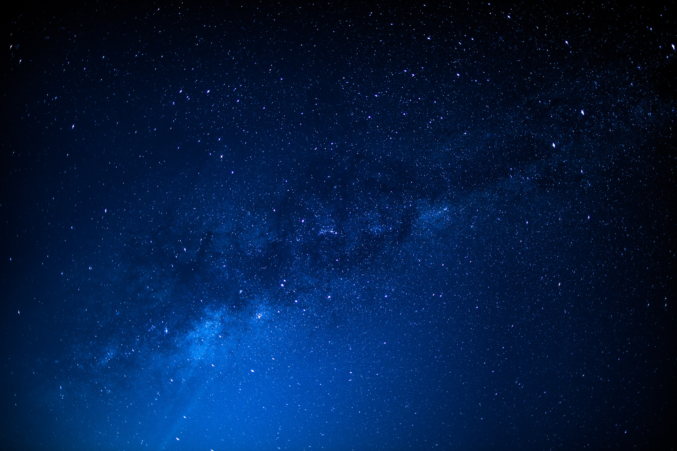
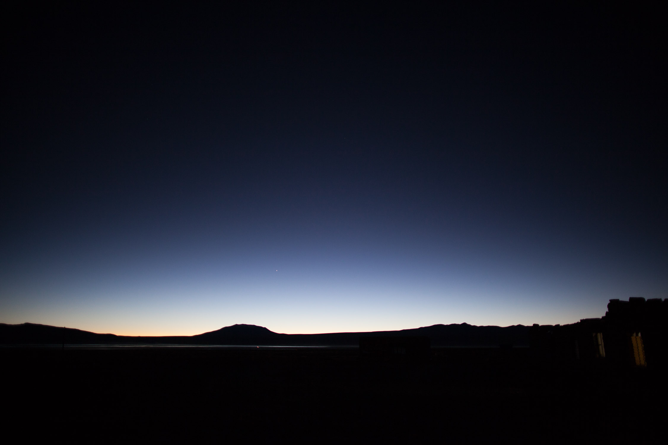
Little shots in the cold. It’s still early, the Moon is not visible yet, the sky is clear and stars are bright. I love that!

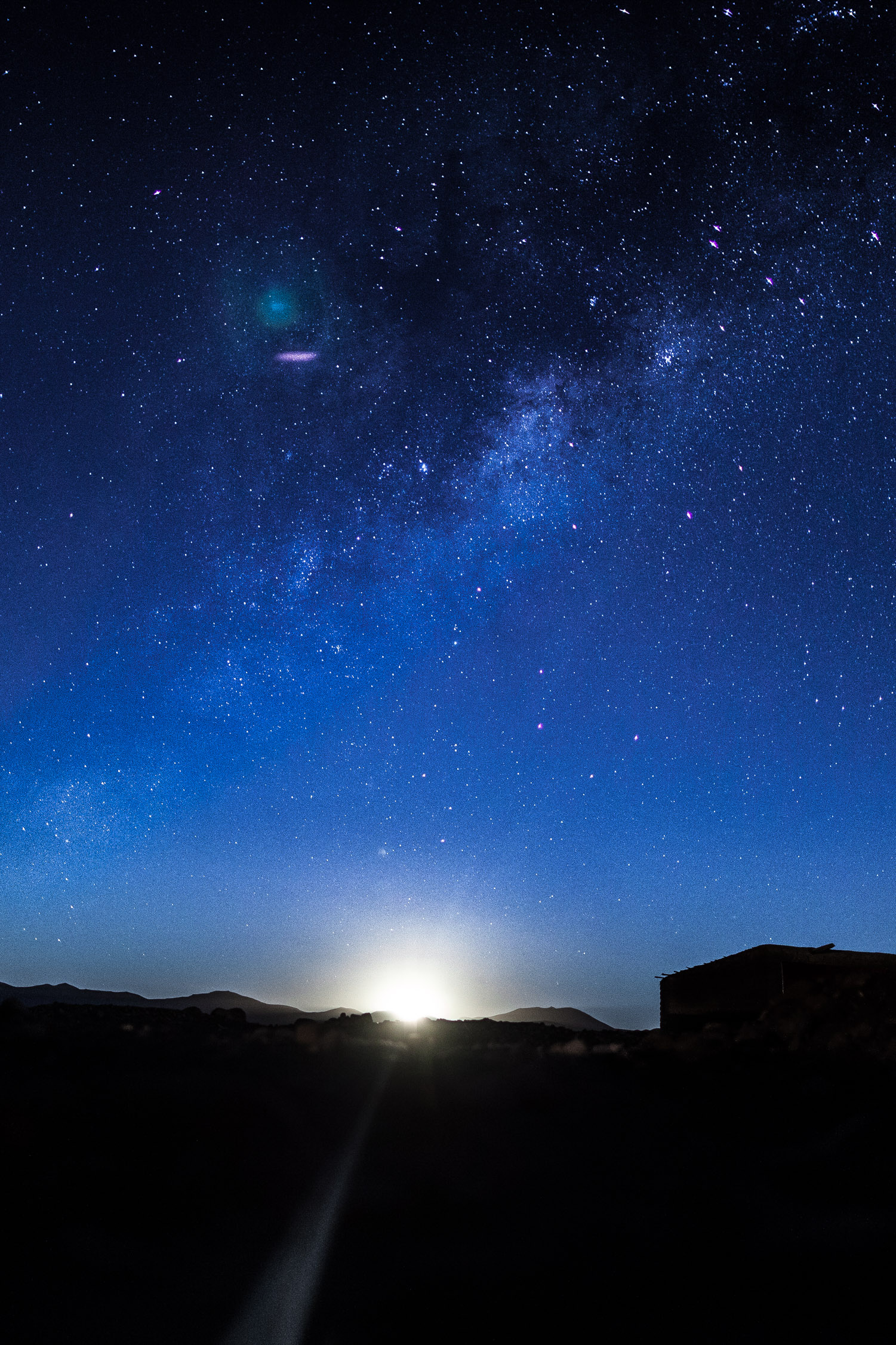
A bit later, a light start to appear on the East… I wait and capture for the first time… a Moonrise… Beautiful.
It’s time to get in and go to bed, still wearing clothes and in the sleeping bag and under two blankets… Cold!
June 7, 2012,
Sol de Mañana Geysers Field, Salvador Dalí Desert, Termas de Polques, Laguna Verde, Chilean border
Good morning!
Last day of our tour in South Bolivia. Today, we’ll drive down to the South-West point of the country, to go trough the border et enter Chile! But before that, some surprises are still waiting us… and for that, we get up at sunrise!
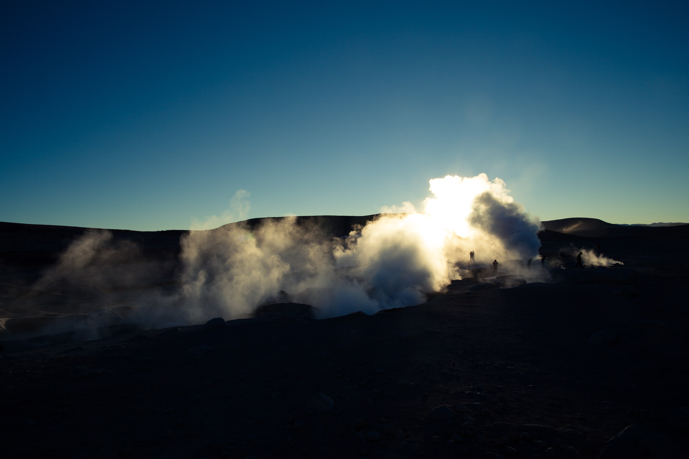
Sol de Mañana Geysers Field
GPS : -22.43499, -67.75736
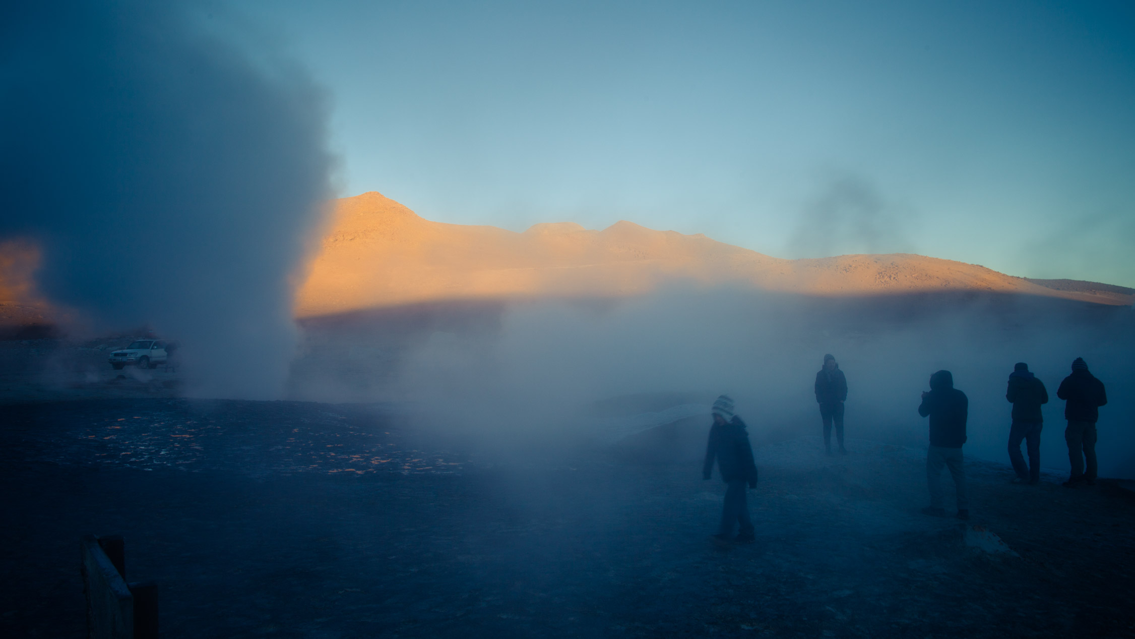
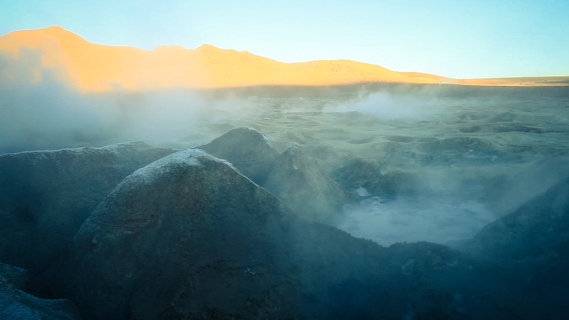
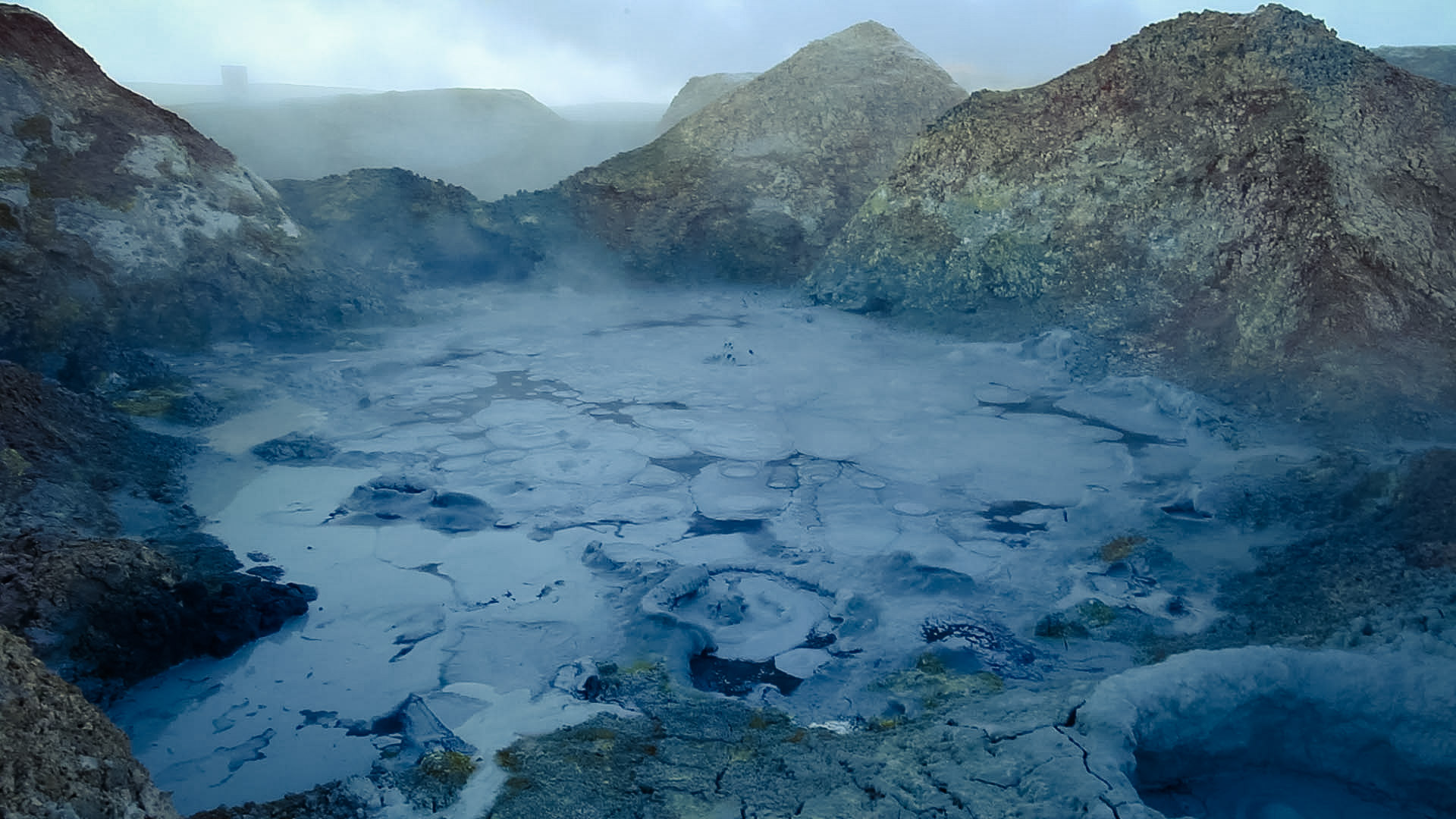
Several kilometers away from the campsite, still sleepy, we arrive at the top of a volcano, at 16,400 ft. The geysers are not really “geysers”, it’s a touristic name. The field has an intense volcano activity for sure, that can be seen with the fumaroles and the hot sulfur springs.
The air is hot, nauseating (sulfur has a strong smell…). The ground is a mix of mud and minerals, very unstable, very slippery and so very dangerous.

There’s some smoke, but not only…
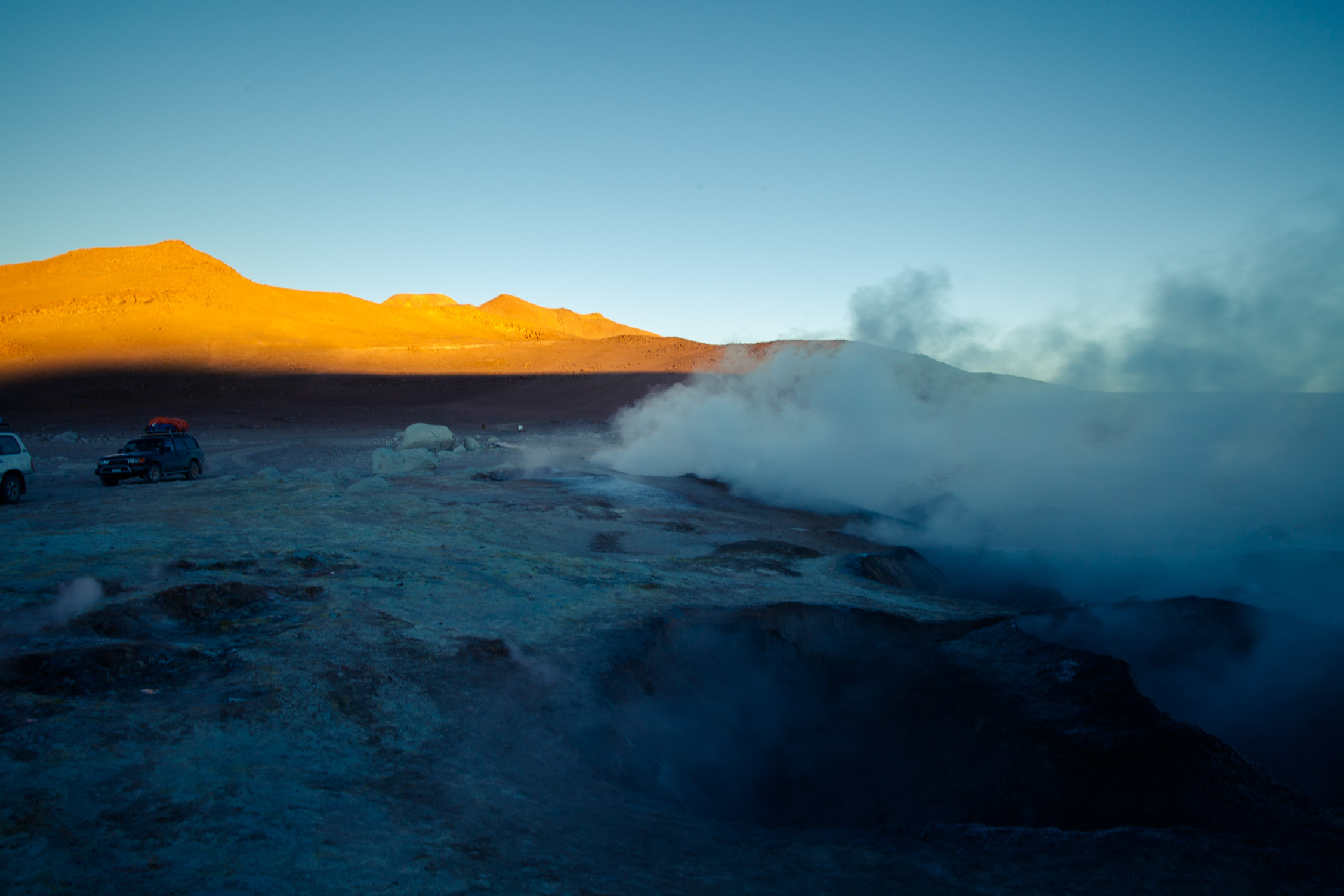
You can see that the ground is full of foaming craters. Careful!
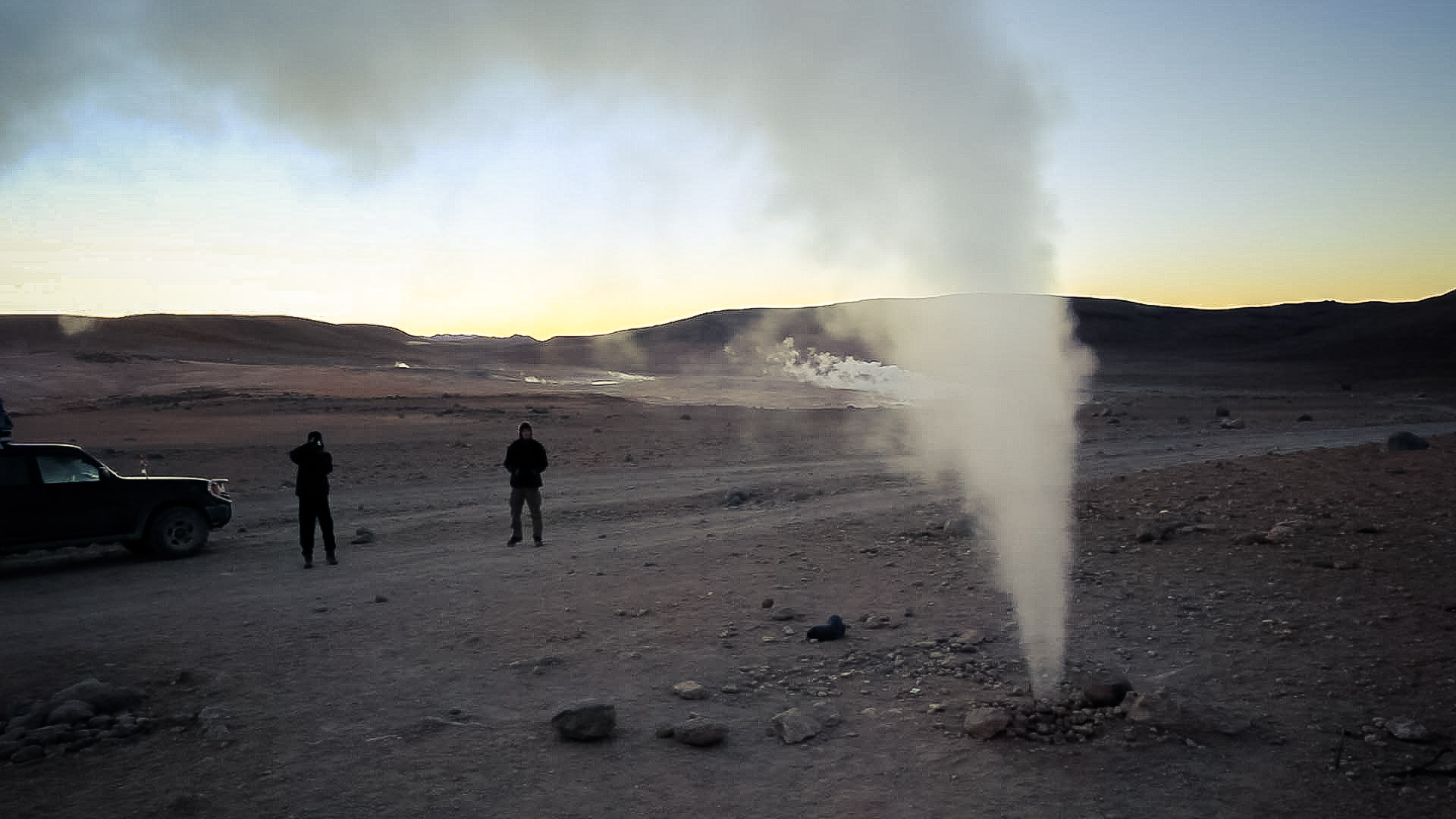
The air that comes out is really hot and under high pressure. The sound is really loud, almost like having your ear by a cooker blowing air, and we need to shout to talk to each other…
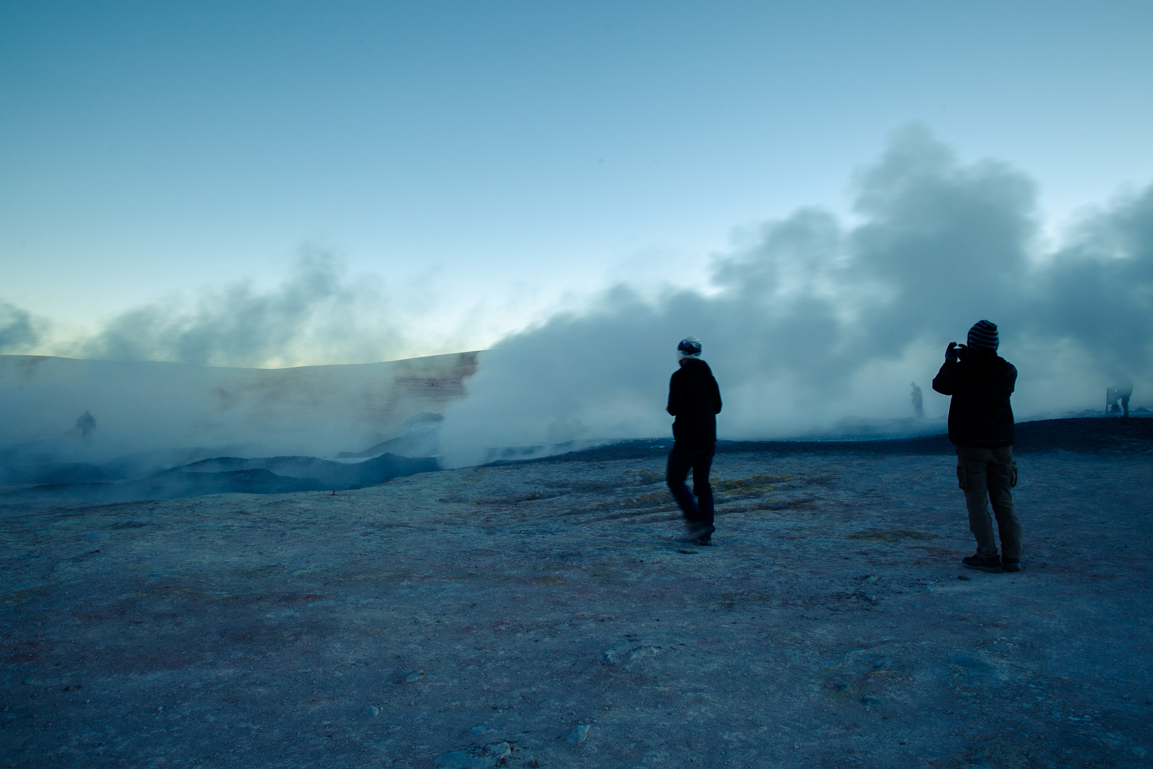
We get closer. The ground is shiny. It’s gonna be slippery!
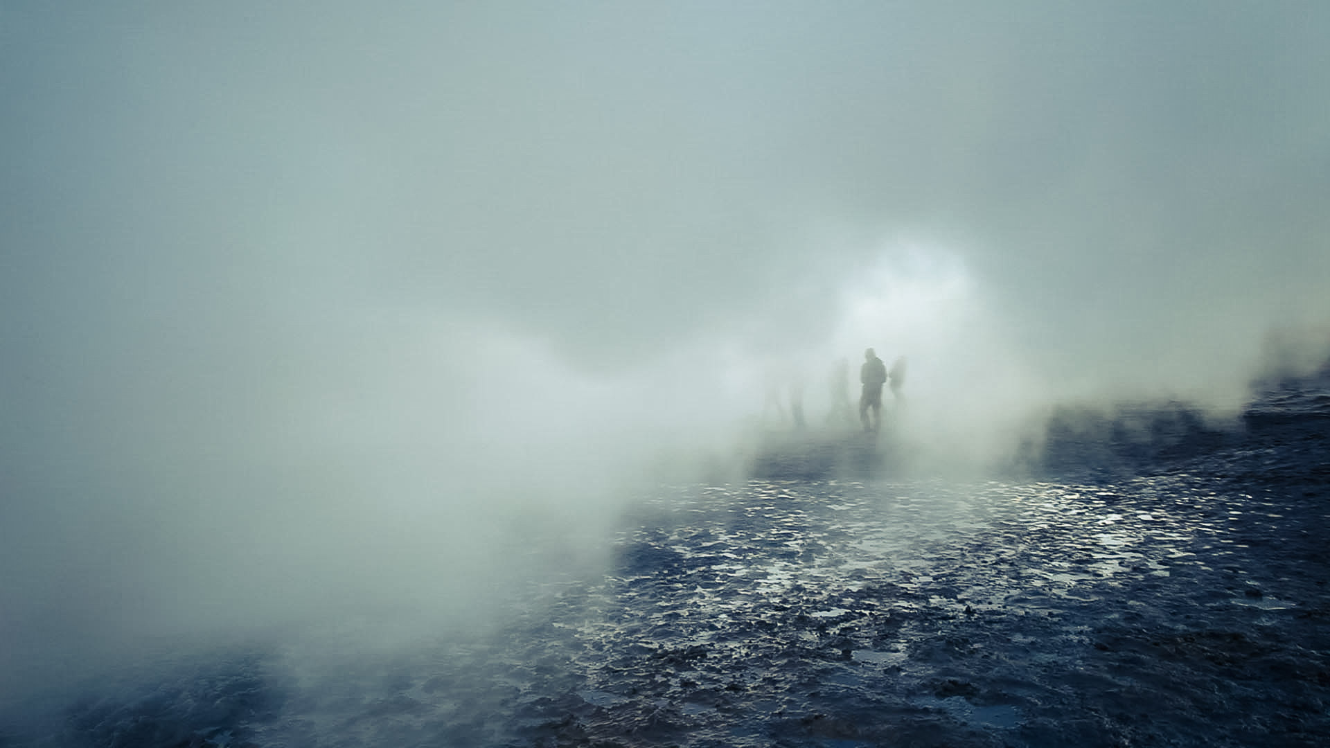
Closer to the bubbling areas… “shplouack… shplouack…”, smells like sulfur, almost unbreathable, and really hot…

… so hot that for this shot, the lens of my camera got covered with steam in… 2 seconds…

Careful, there’s a split!
“shplouack… shplouack…”
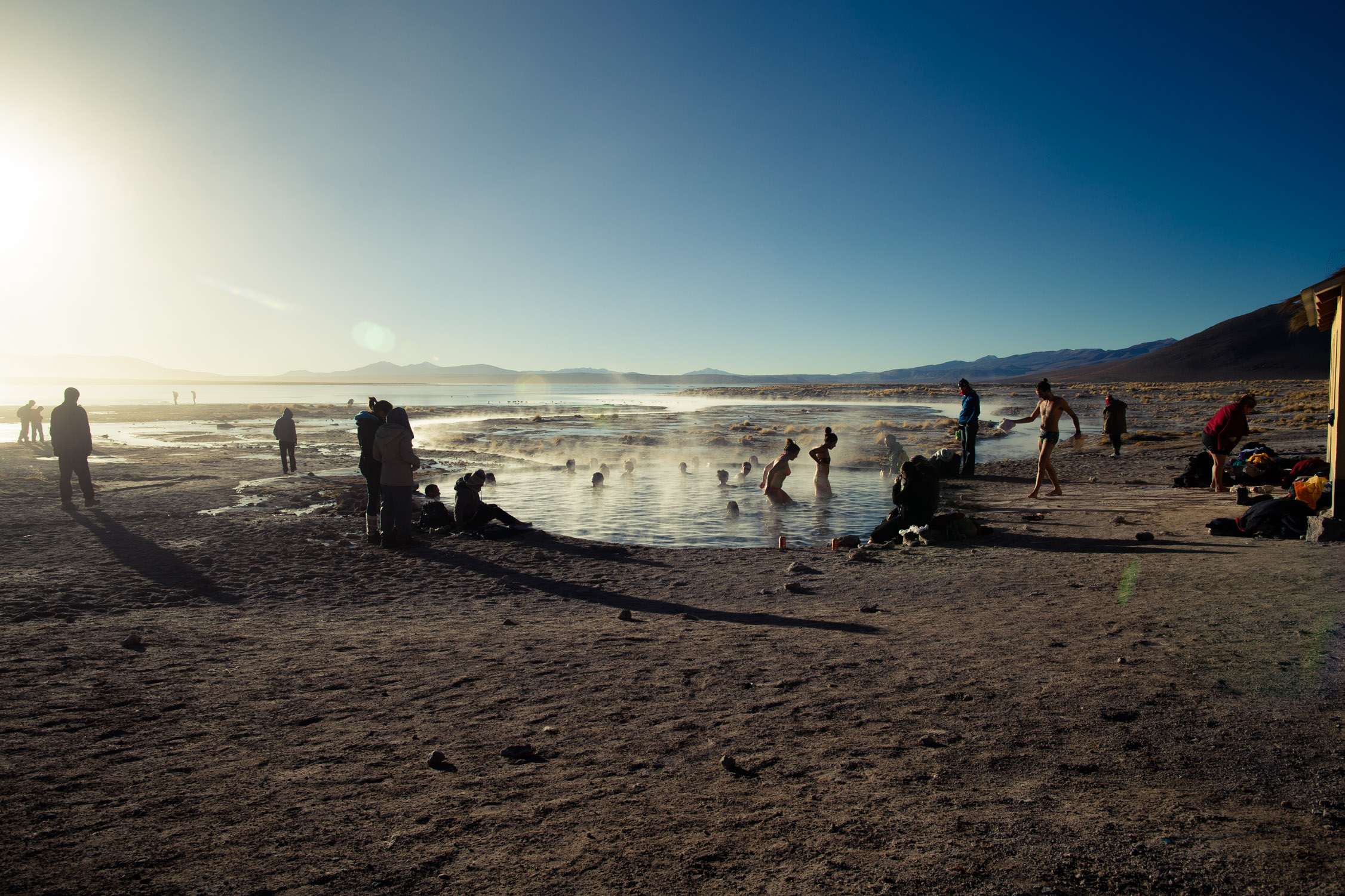
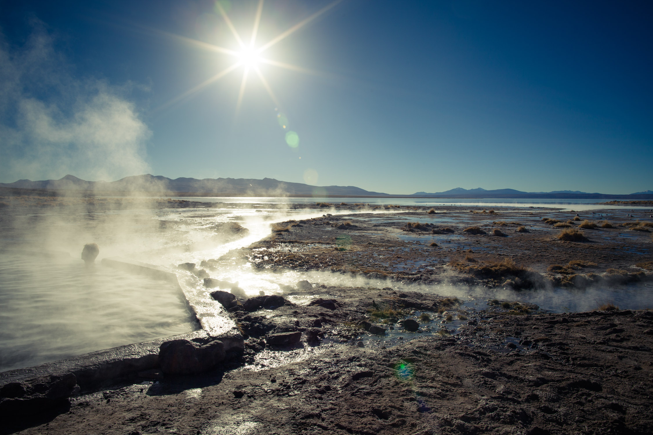
Termas de Polques, hot springs of Laguna Chalviri
GPS: -22.535732, -67.649048
After the minutes standing by the warmth of the Sol de Mañana, we get back in the Jeep and drive a bit farther… Here, no more sulfur basins, but water, rich in minerals, and that comes directly from the side of the volcano.
40°F outside, 95°F in the water… I don’t need more to undress and have a bath (with a swimsuit, of course) in one of the most beautiful natural pools in the world, between volcano et lagoon (Laguna Chalviri).
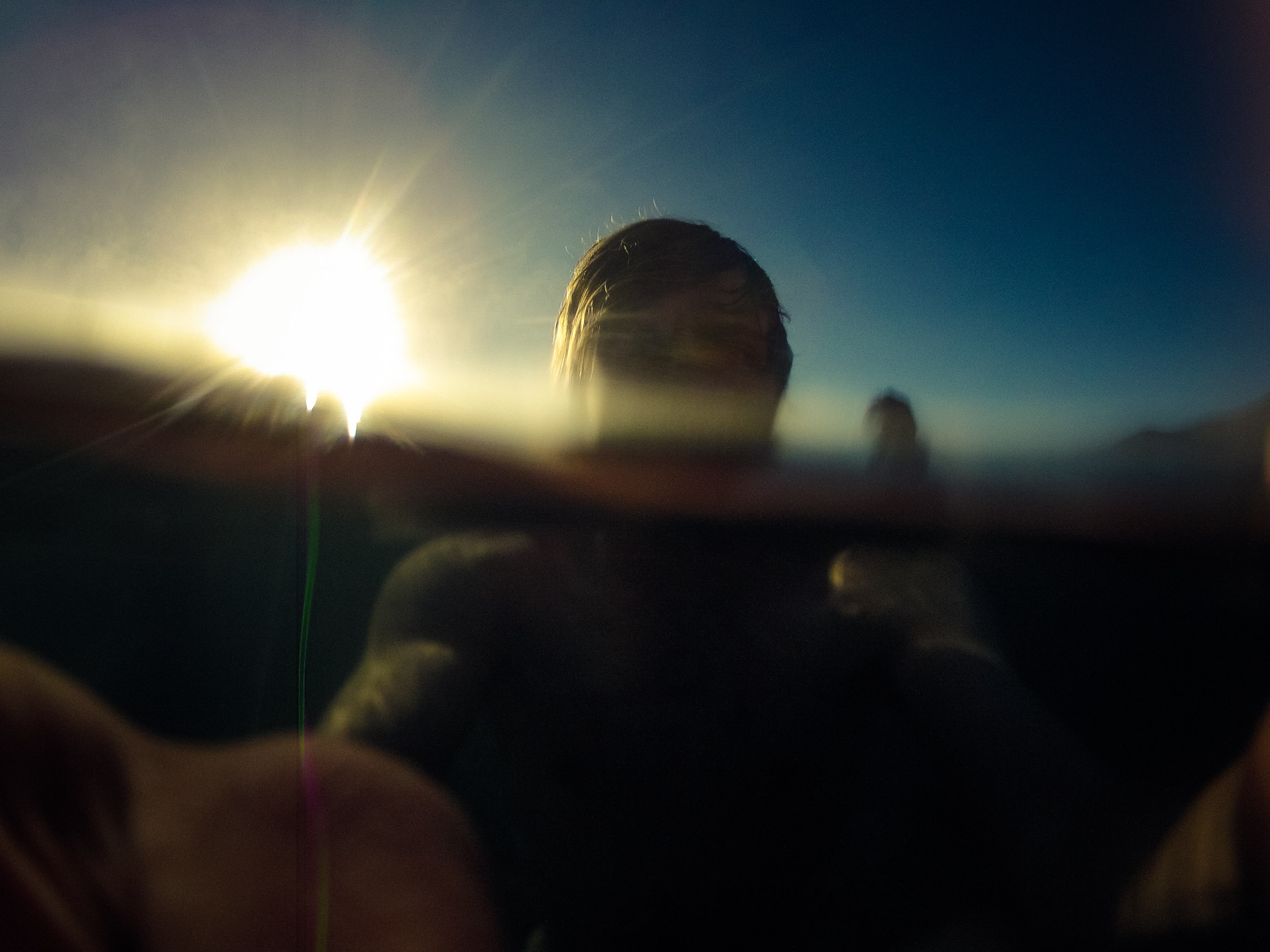
A bath with my GoPro, of course!
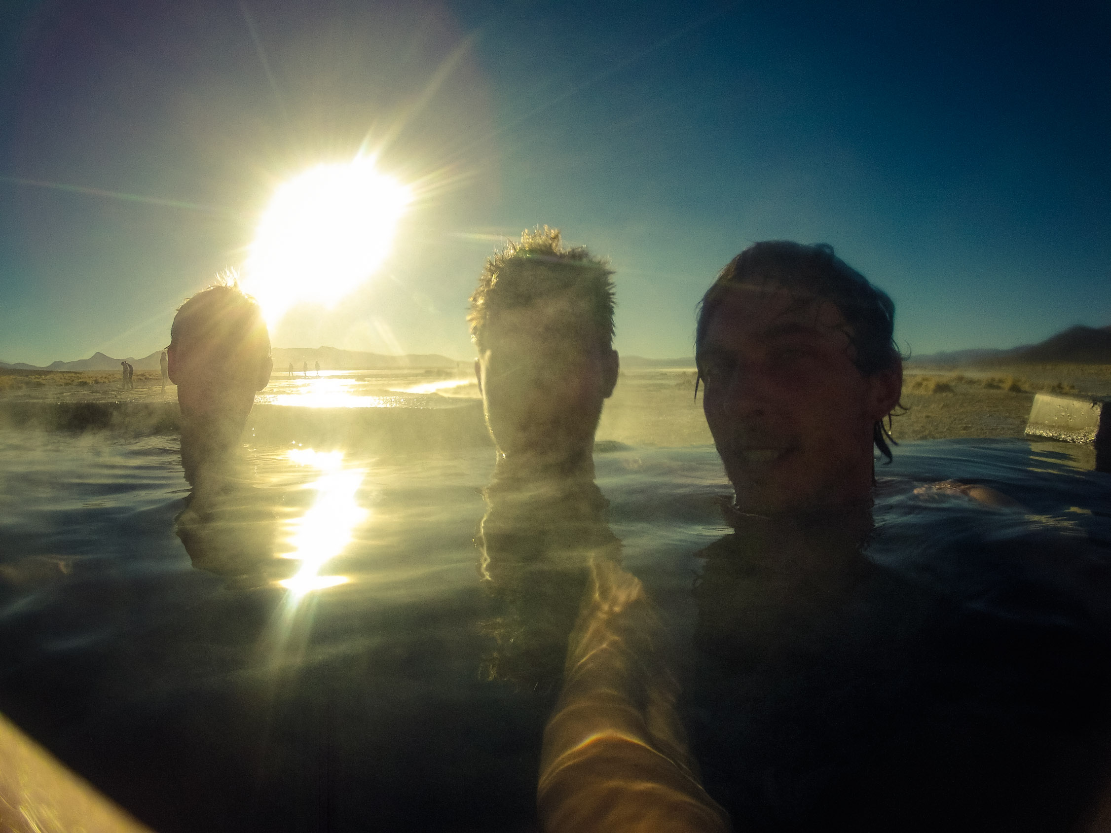
And a good time with friends
A small pool, between the volcano (behind me), and the lagoon that goes almost to the horizon…
Salvador Dalí Desert
Just enough time to dry and we’re back in the car. Driving to the border, we cross one of the most beautiful deserts in the world, the Salvador Dalí desert, named that way because it looks like the landscapes painted in the surrealist masterpieces of… Dalí, of course!
We’re still driving South…

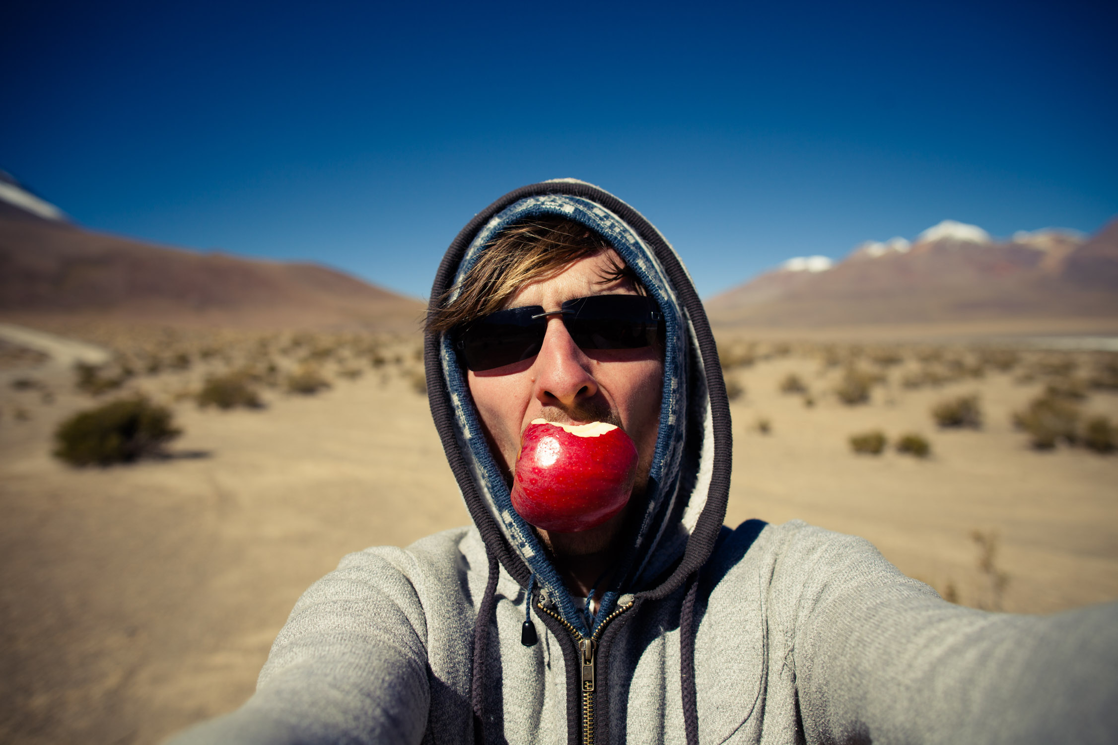
… eating some cookies to recover after the hot springs…

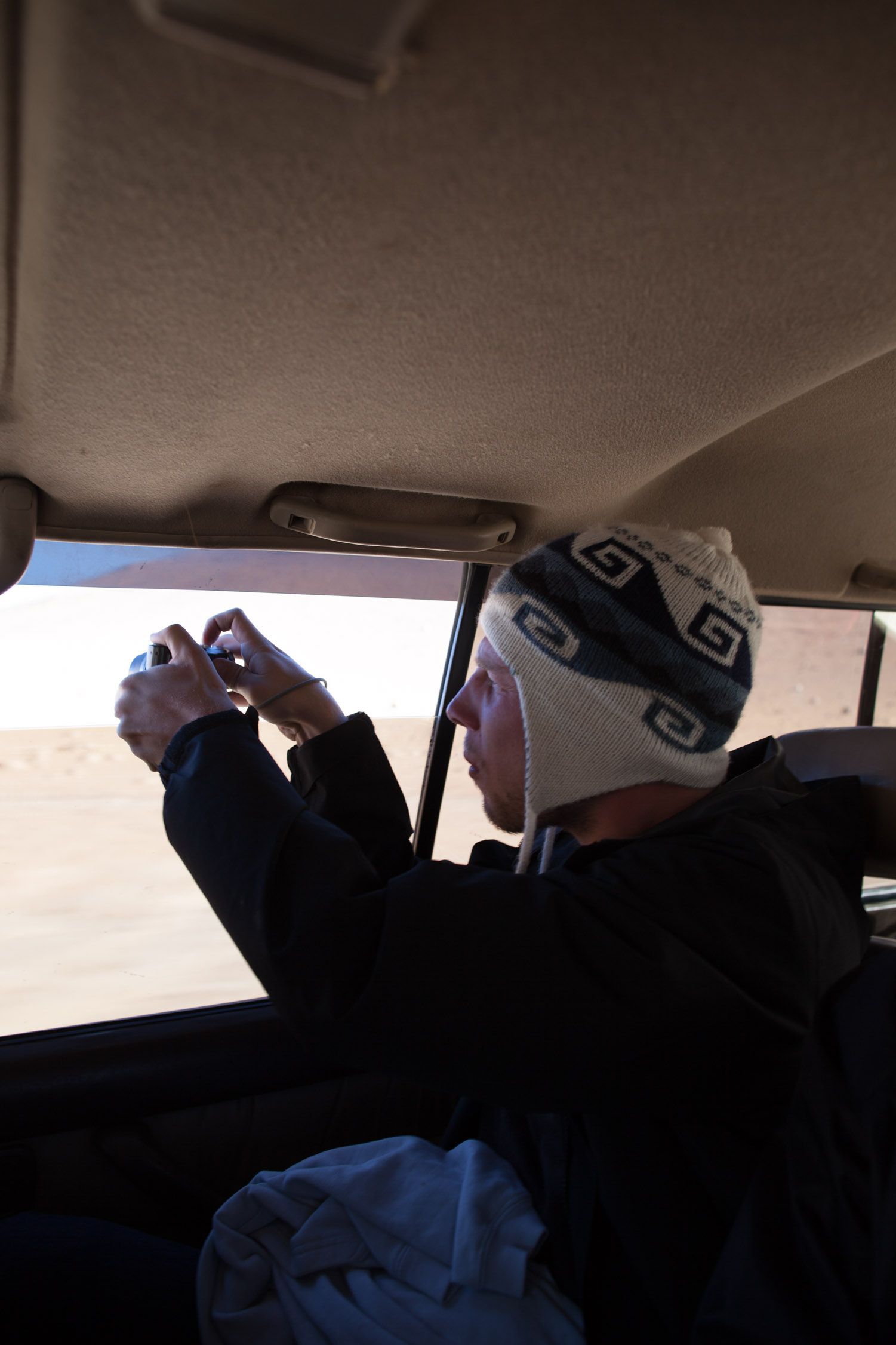
… and always keeping the camera outside…

Hey!
More and more desert and amazing landscapes…
… simple and efficient beauty…
… simple but remarkable landscapes.
Laguna Verde, at the bottom of Volcán Licancabur
GPS: -22.78816, -67.81974
Haaaaaa… After three days, we are now facing our last discovery before arriving at the border. Our journey in Bolivia is almost over.
Laguna Verde, last pearl, last salt flat, with a green tint coming from… copper! Yes. It lays just by Chile, only separated by Volcán Licancabur (summit at 19,500 ft.).
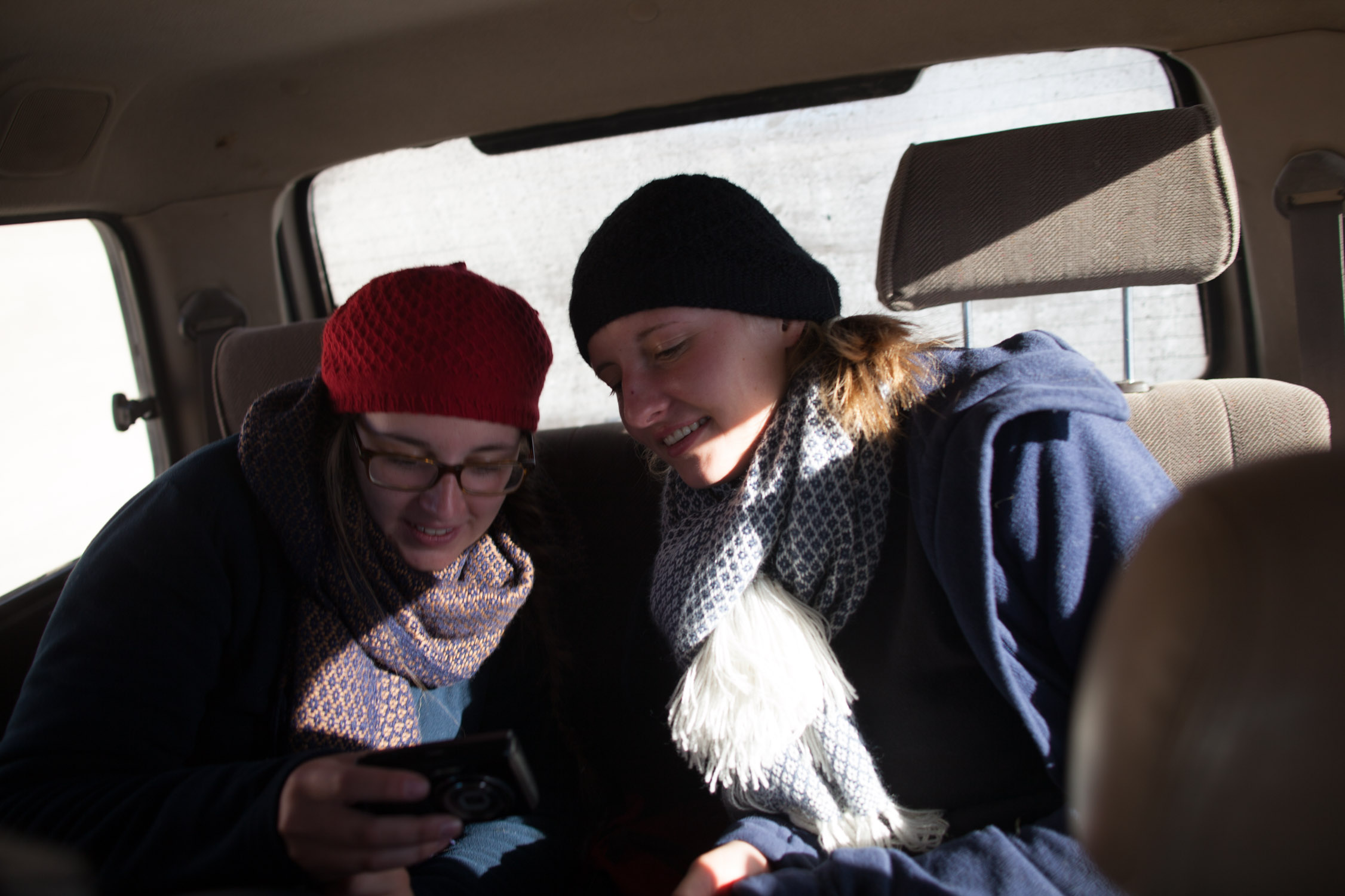
The girls are looking at their pictures and laugh and talk… in German. We don’t understand a word…
Arriving at Laguna Verde…
Laguna Verde

At the border
GPS: -22.880836, -67.798165
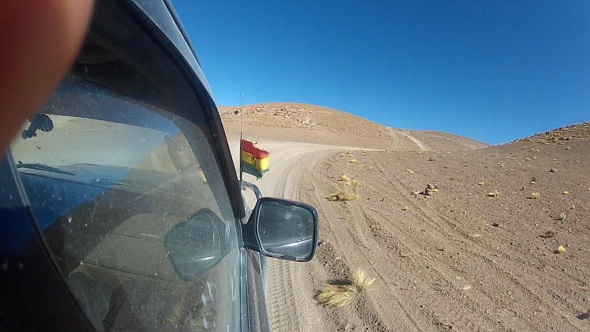
Last kilometers and end of the trip for our group. Chilean border. From here, we are just now 39 miles away from the Argentinean border too, almost at the Southern point in Bolivia.
This is here we say goodbye. Our three German friends will go back to Uyuni with our driver. We will cross the border soon.
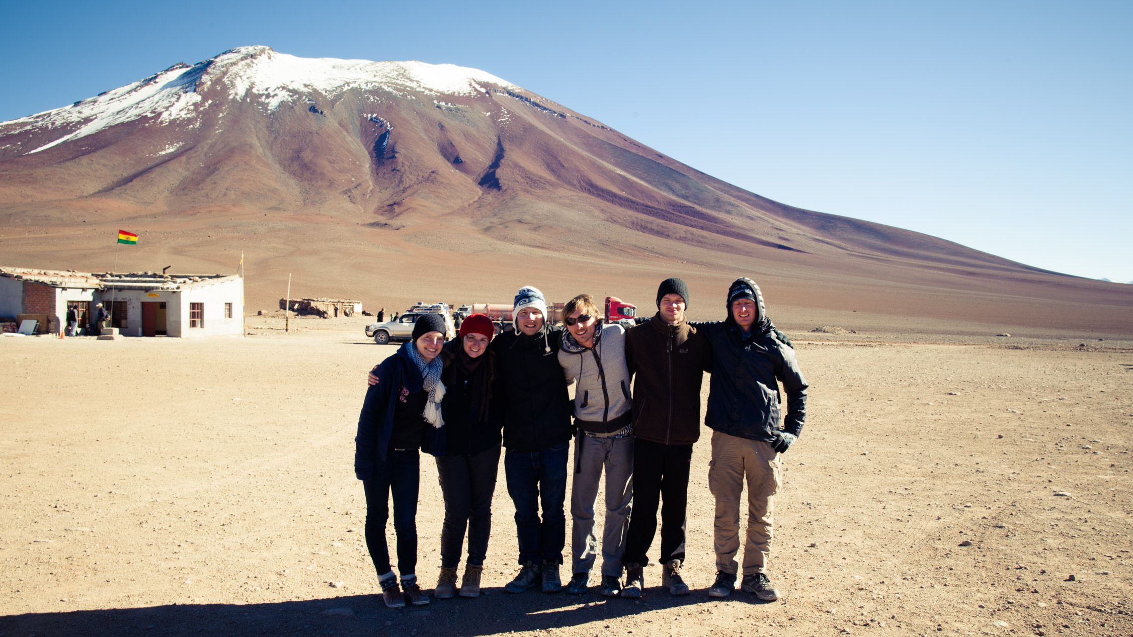
Group picture before we go separate ways.

We need to wait for a bus that will bring us in Chile. So, while waiting… pictures!
The Volcán Juriques, with a summit at 18,700 ft.

The office is closed. The frontier post is up at 14,700 ft., the closest Bolivian city is at… 124 miles in a straight line. I guess the office is not open everyday…
So we wait and we eat…
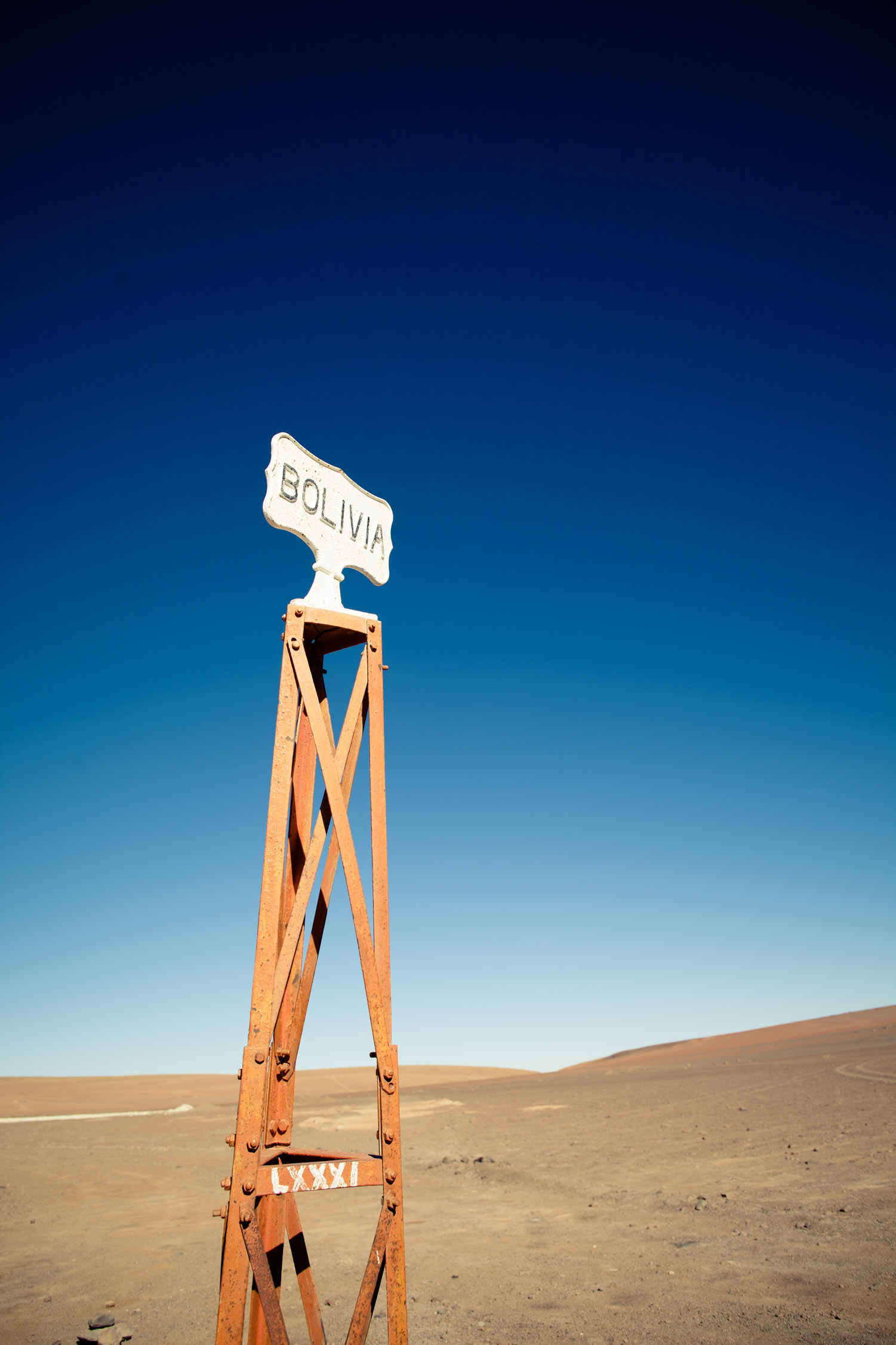
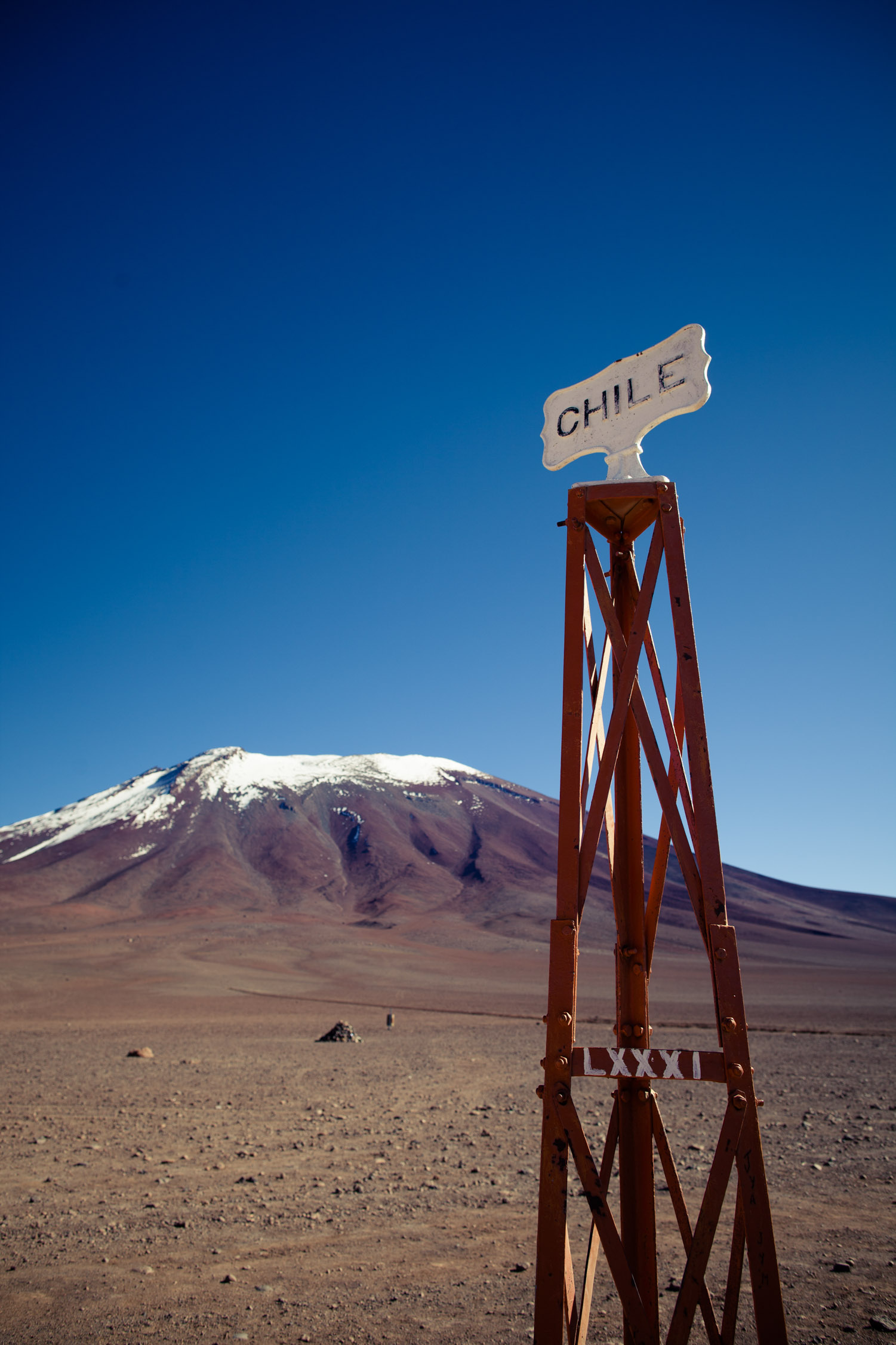
And we cross the border, just walking. Hop, from Bolivia to Chile!
Minutes in the cold and the wind. Our bus arrives. We get in, and enter Chile around 11 a.m.…