Day 9
Aloha, Big Island
We ride one last time the wiggly roads of Kaua’i before dawn. A strange combination of melancholy and delight. We are about to discover a new region, pushing away the borders of our terra incognita, but that adventure calls for leaving a place that now feels like … home. The legends might be true.
Last one for the road.
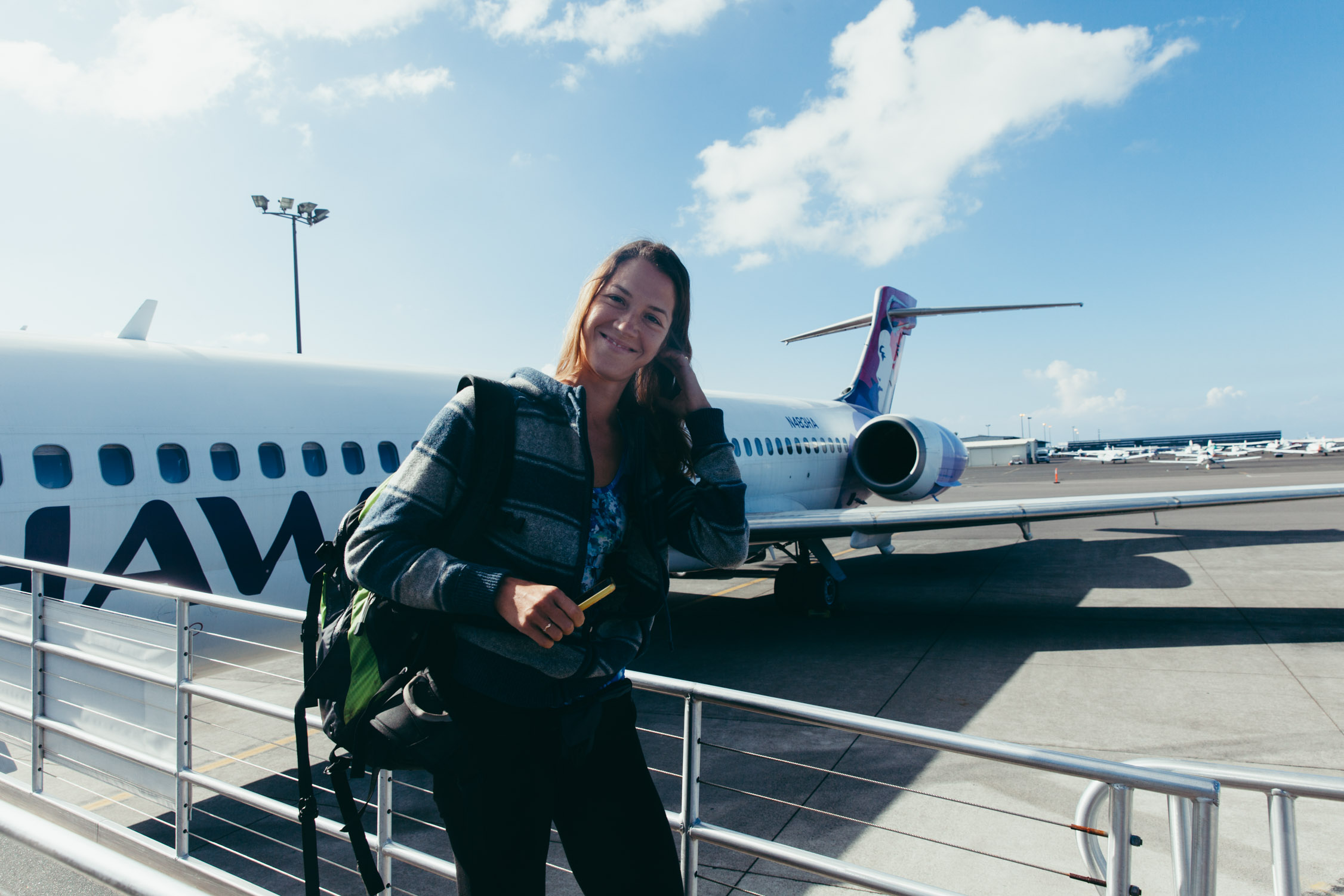
We hop on the 7:00 am HA 110 to Honolulu. A thirty-minute leg, quickly followed by the HA 120, 43-minute jump to Kona, Big Island.
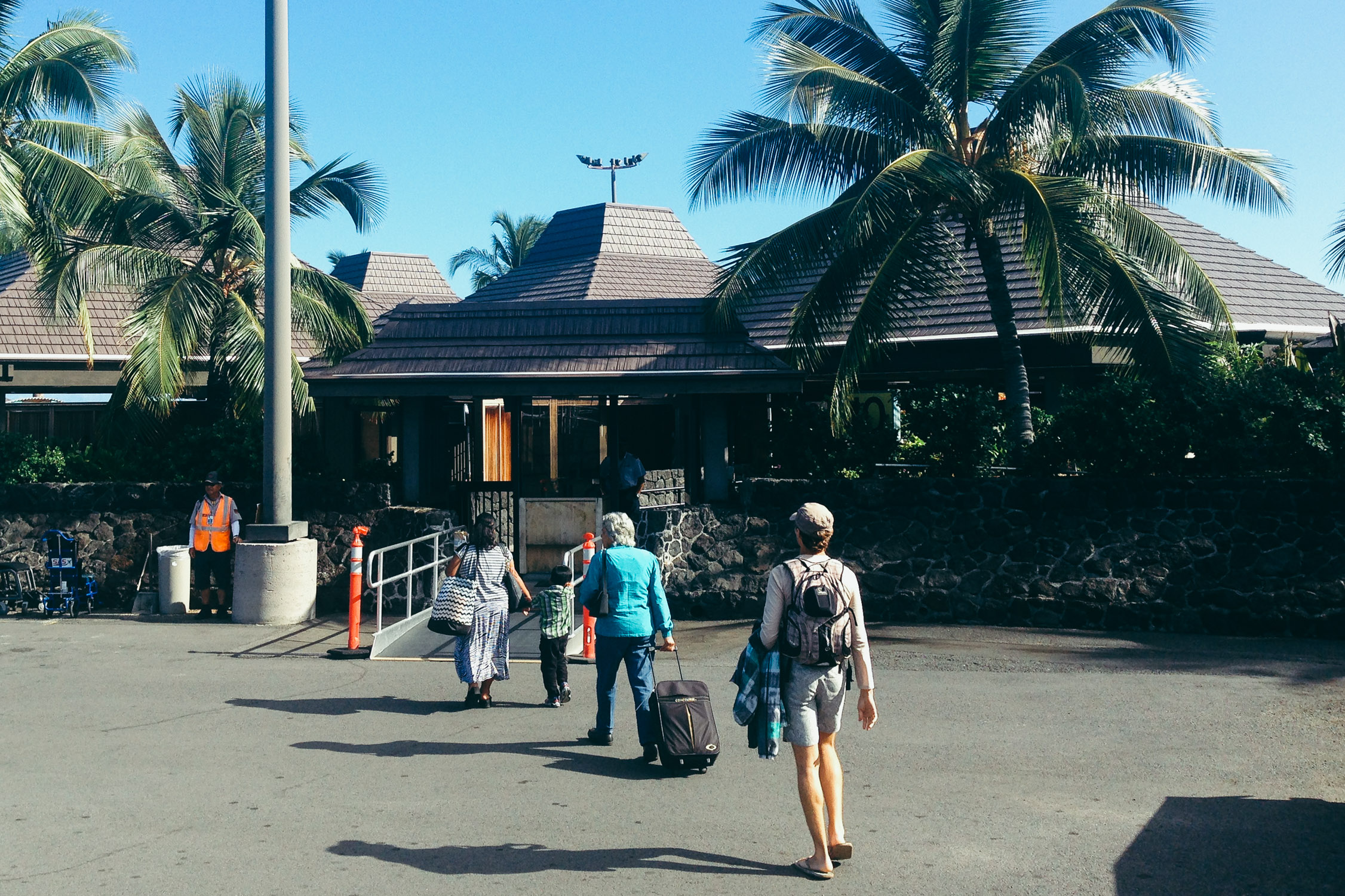
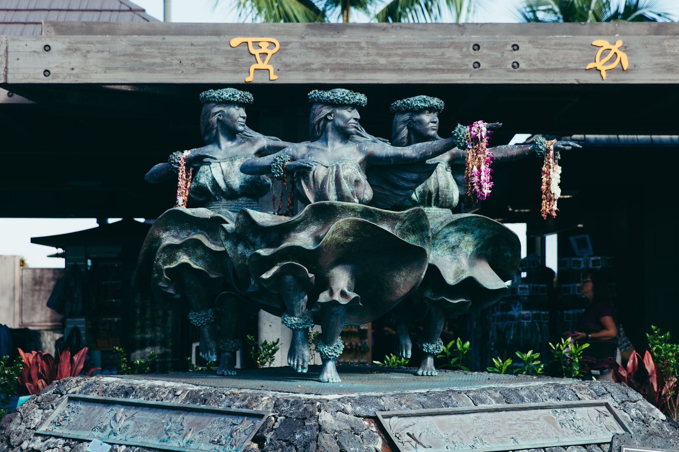
Lihu’e’s airport had no windows, the Kailua-Kona Airport is even more open. We exit the plane, walk down to the tarmac, and reach the gate, which is a seemingly simple rocky arch. The gates are arranged in a circle, surrounding a square with statues of three hula dancers, granting the travelers a warm Aloha.
Aloha!
Aloha!
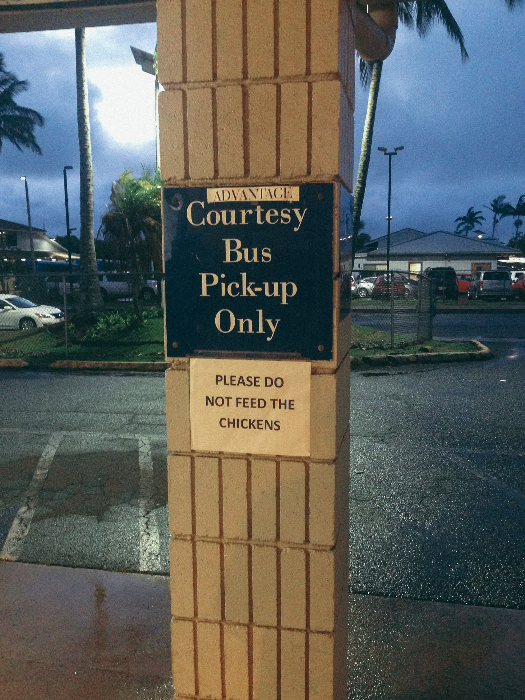
We shuttle to the rental and get our car. Our booked Chevvy hasn’t come back yet, we see ourselves upgraded to some kind of coupé. Well, that’s a bummer. The little and maneuverable one was fit for exploration.
Oh. The highway is large here. The first “blocks” we come across are from a gigantic commercial area. Strange emotion. It all looks more like home. The real one. The city. Large commercial centers, a lot of empty and open space. Where Kaua’i appeared to be made of tidy and clean communities trying to accommodate the environment, Big Island looks more square and made out of concrete, constructions spreading their obese mass on the lava rock.
It doesn’t look as exotic. Almost too familiar.
Wait! I nearly forgot … What is the first thing you do when you get in a rental car? You turn on the stereo and tune the radio to find a good local station. In Hawaii, the best to our taste is Kapaa Radio, 93.5 FM.
The first sour impression dies, and we head to an imperative stop: breakfast! Our previous meal was on another island, and it already feels like it was all a dream.
Kealakekua
We park at Standard Bakery, in Kealakekua. What a name. Tanya orders a mix of yummy-looking things and we walk up and eat on a cement wall.
The food is delicious, and the ants running by seem to love it as well. We watch them working in unity for a while, as I explain what I remember from the book “The Ants”, by Bernard Werber. Amazing stories.
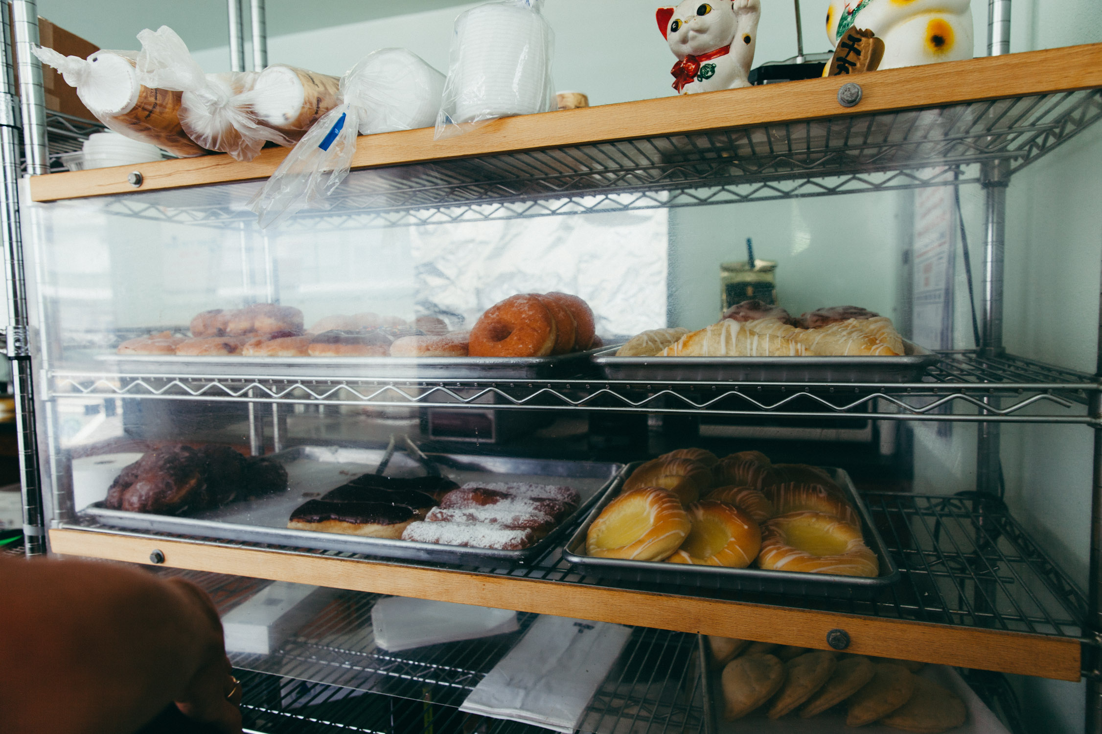
A look at Standard Bakery. Simple and yummy!
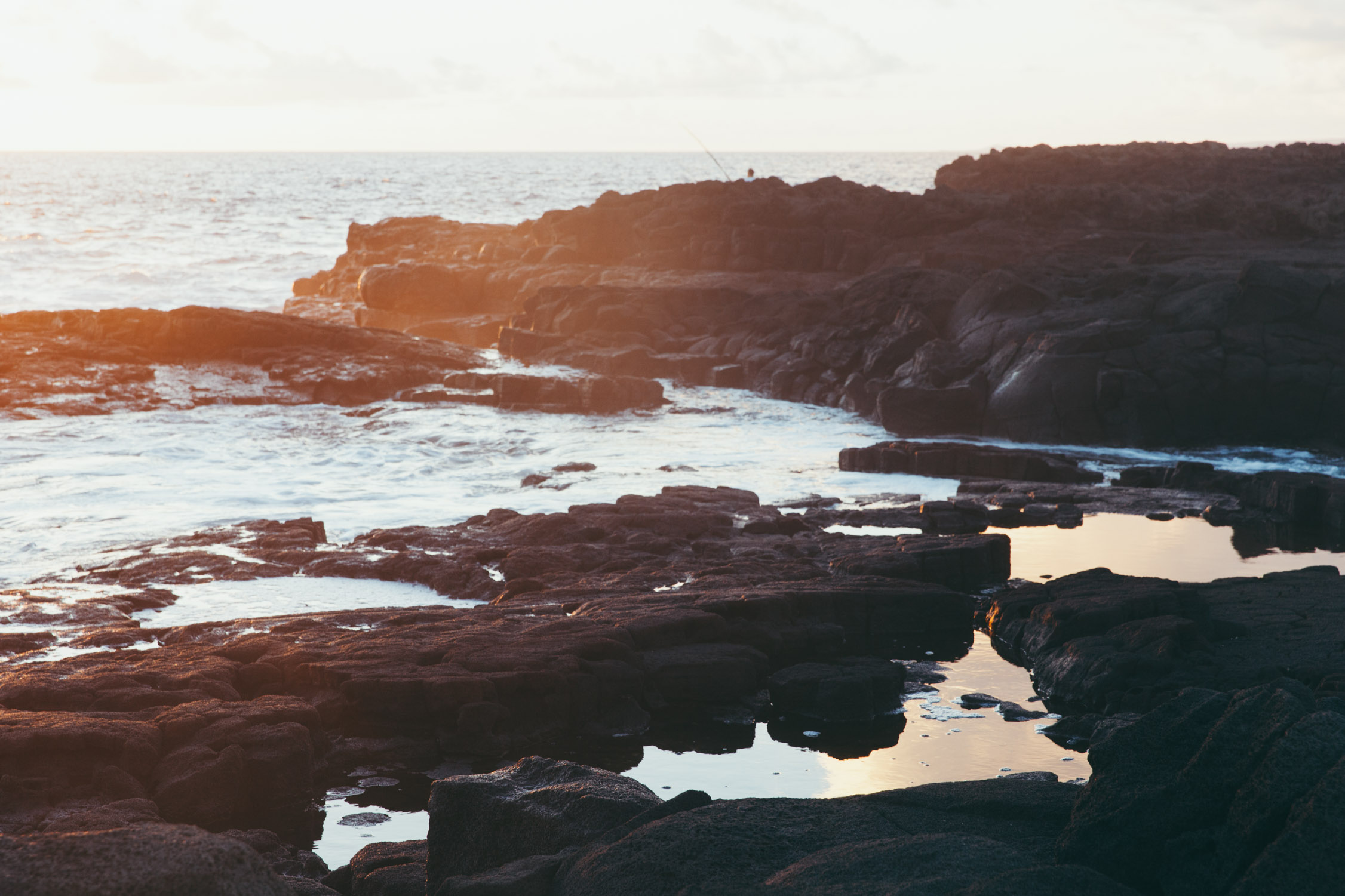
We wander around Kealakekua’s antique and thrift stores, then drive down to the Ocean, Manini Beach, Napoopoo Park and Kealakekua Bay. Here lays a simple yet amazing beach. Small park, palm trees, green areas, and a shore made of … coral and lava rock. A white and black beach. Such beauty.
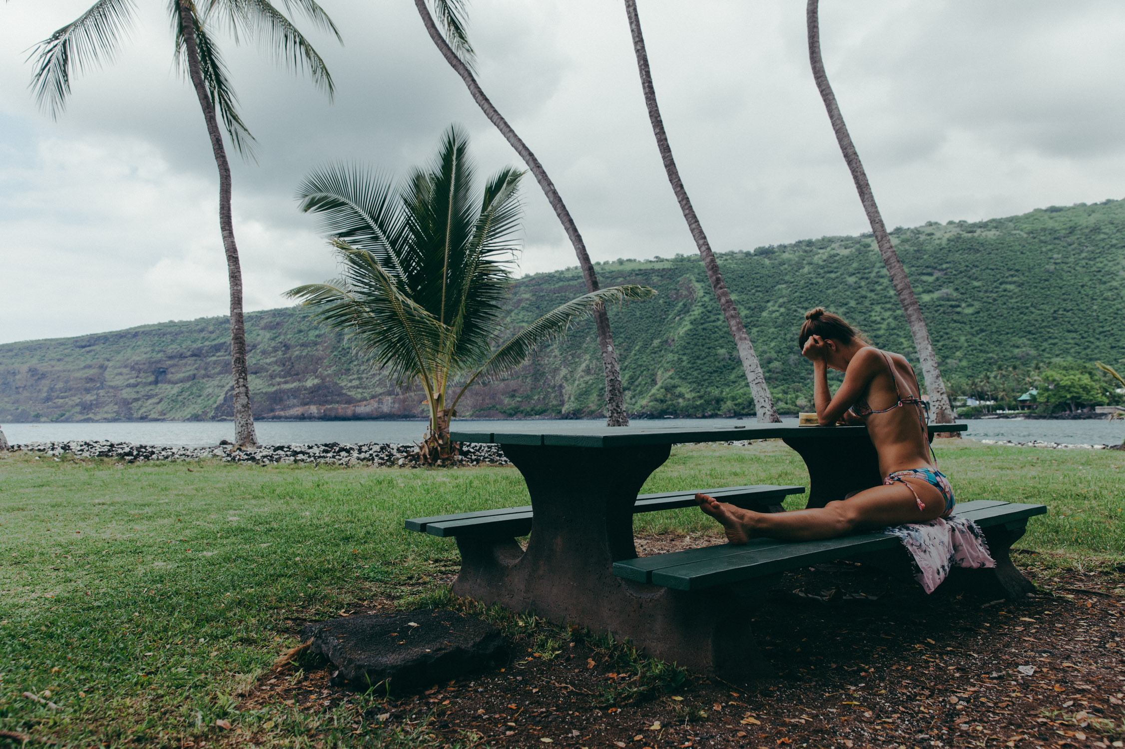
Reading a bit in the Park. Stretching too.

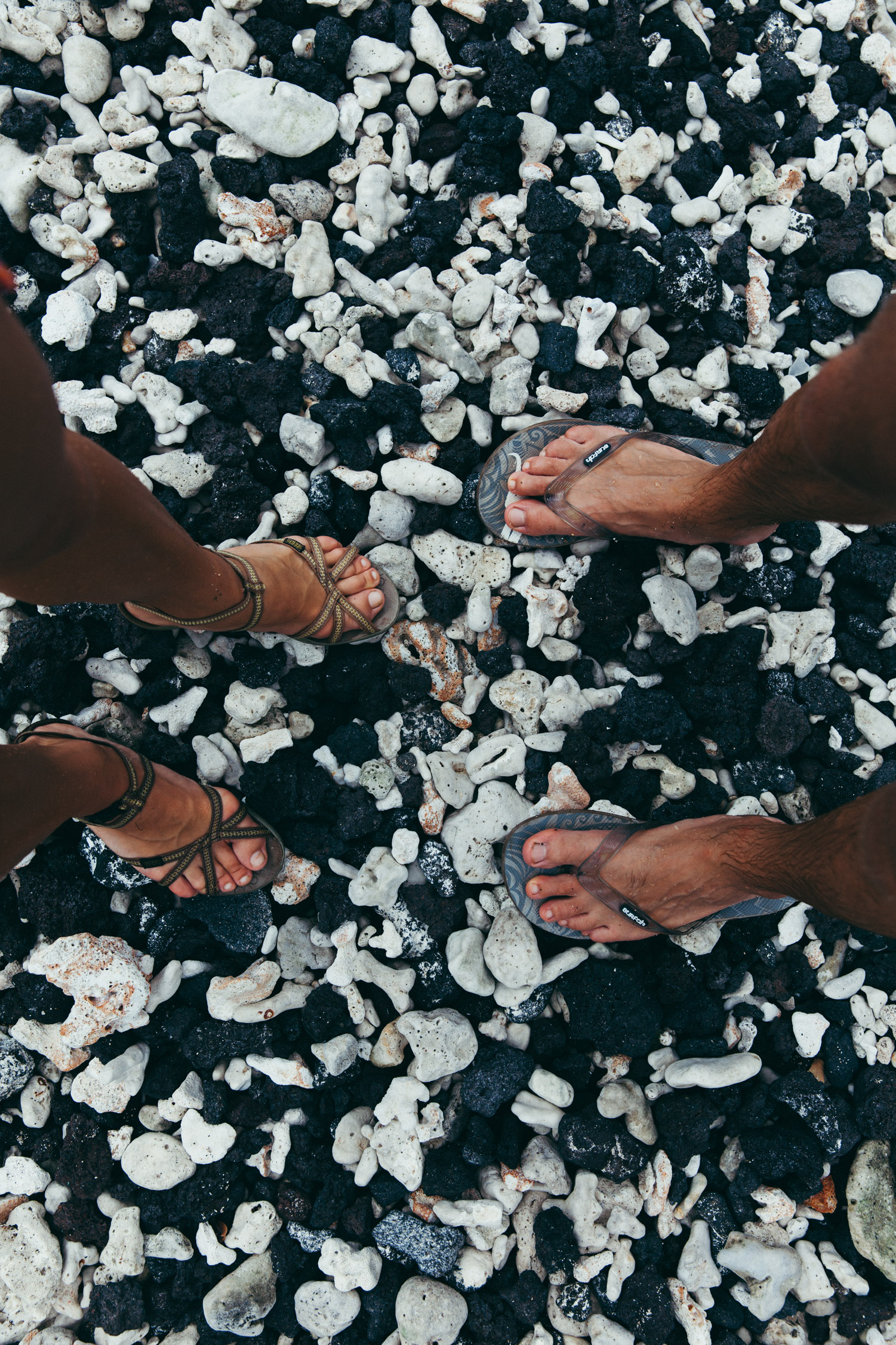
Black and white. Lava and coral.
The Sun hints at us that it is time to get going.
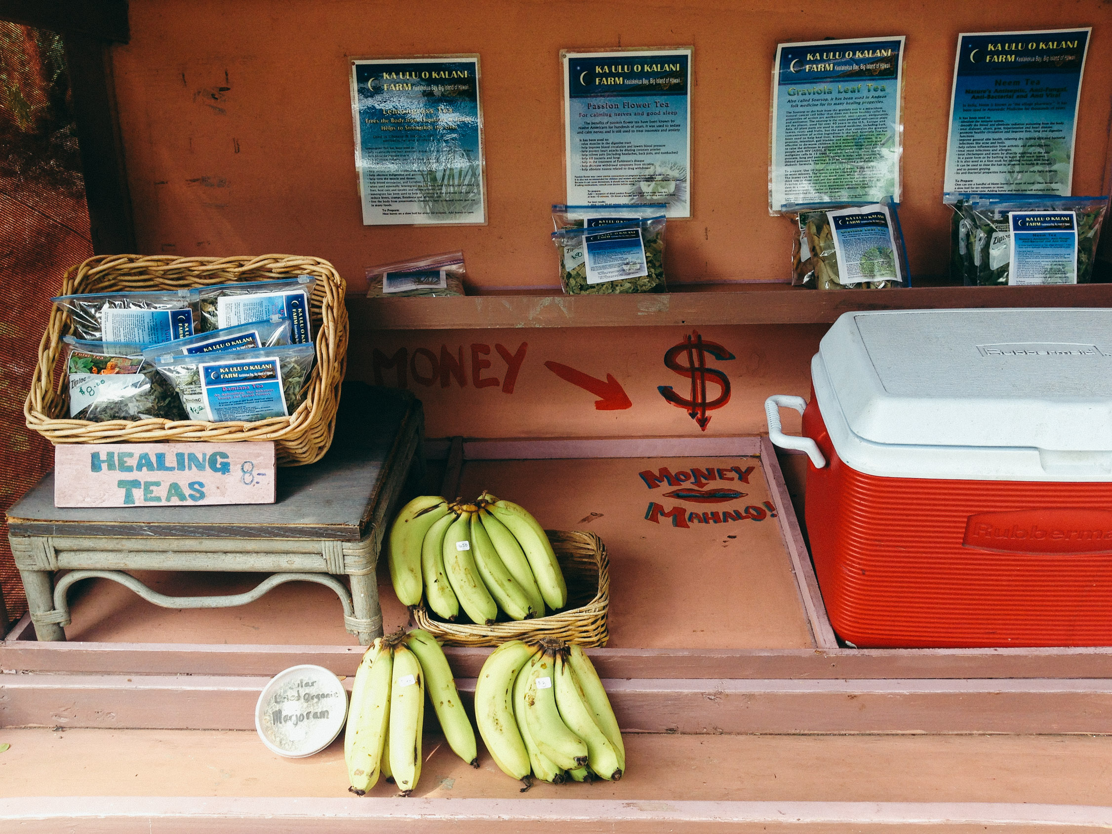
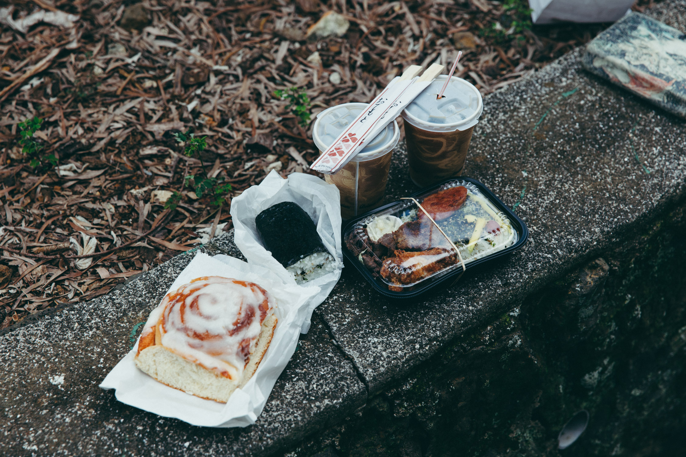
Healing teas, fresh banana, cold water … a self-service on the road.
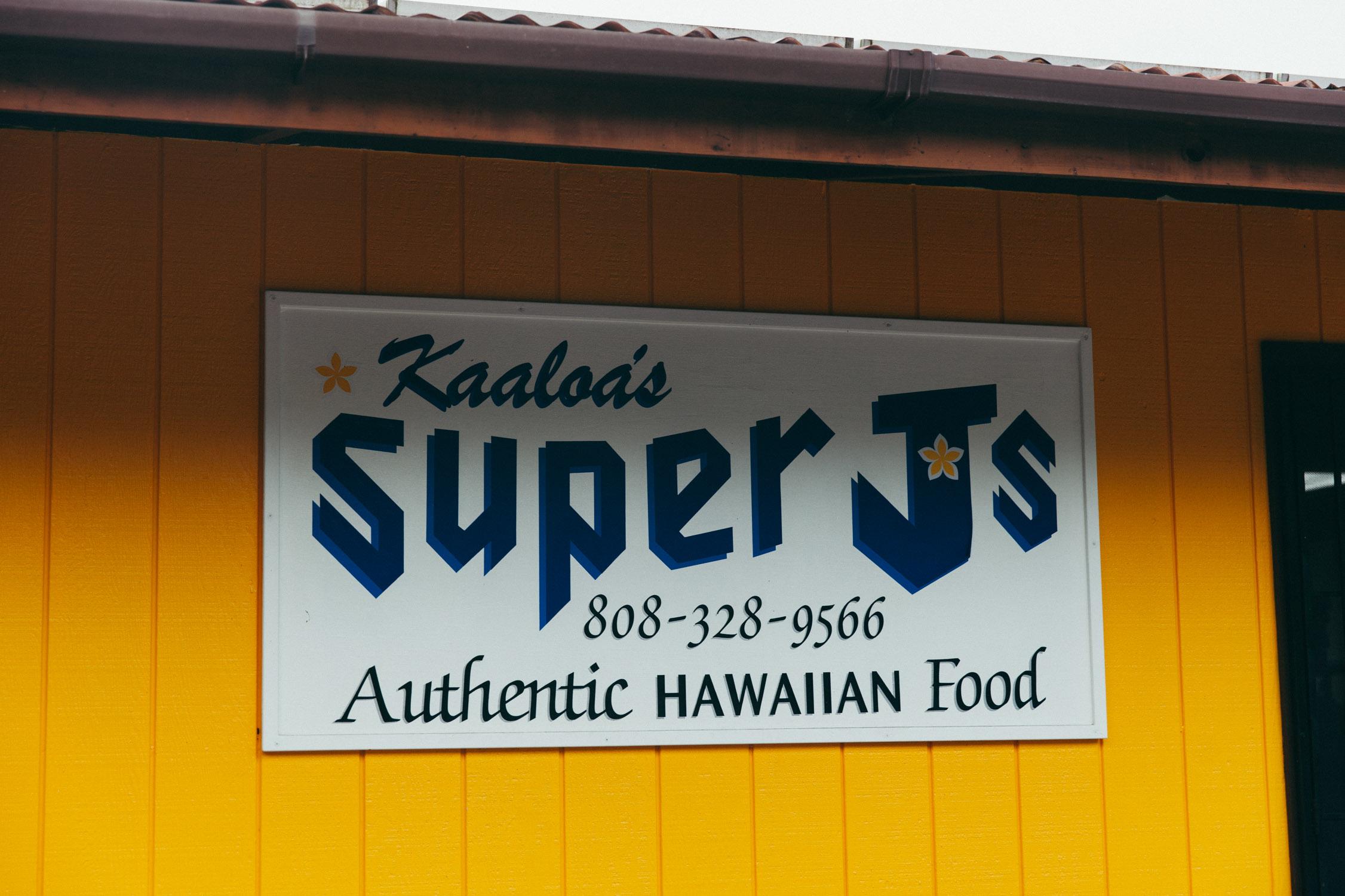
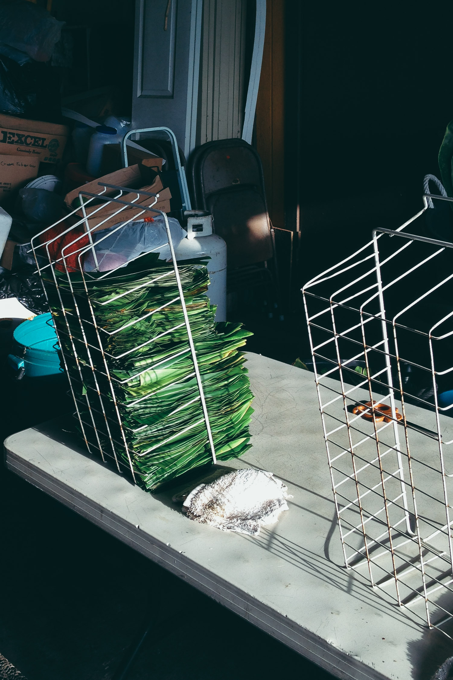
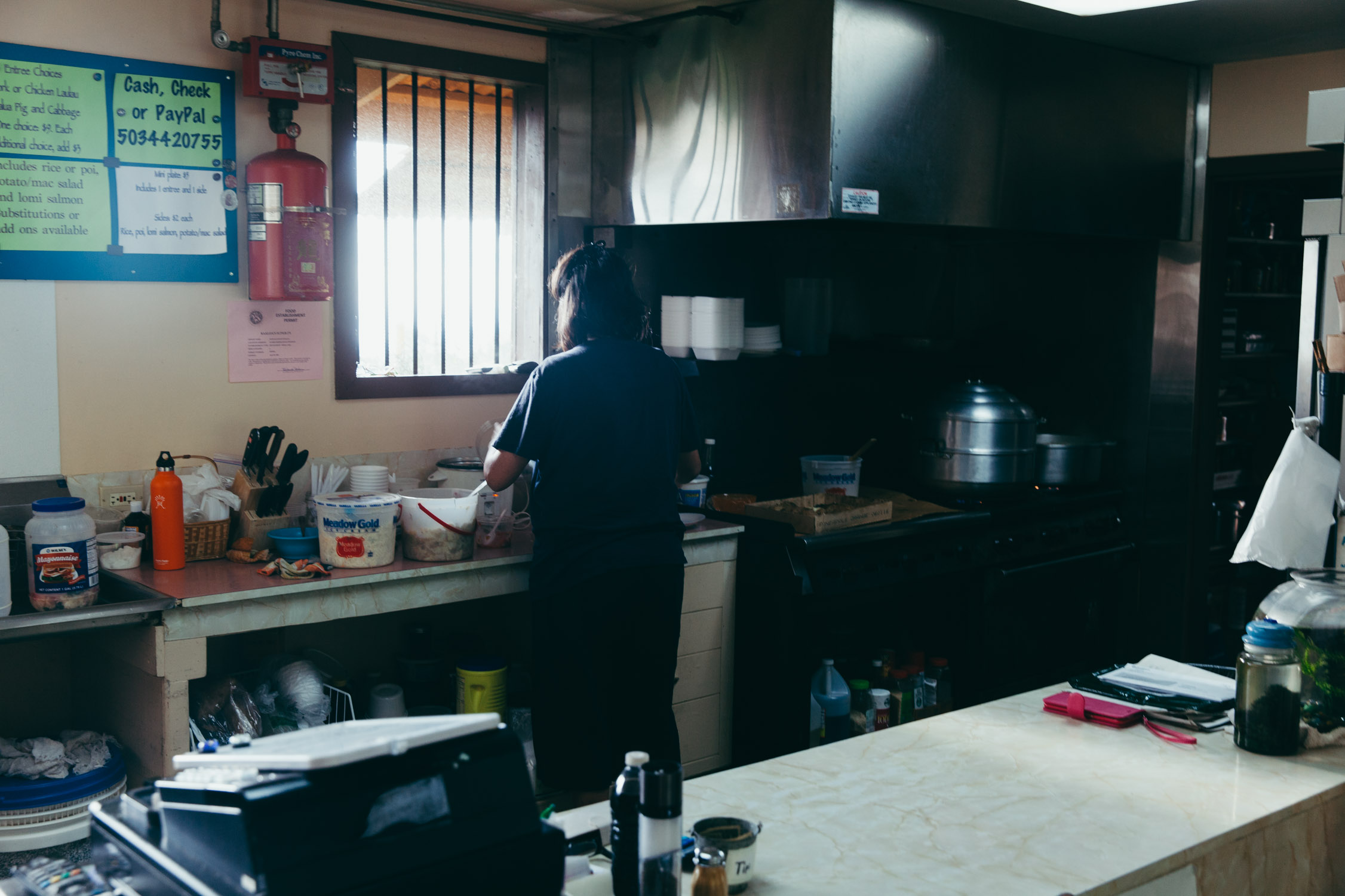
Before we meet with our first Couchsurfing host on Big Island, we need to have dinner. The list I prepared at home has a name for that: Kaaloa’s Super J’s. A kitchen opens on a few tables, a couple of older men preparing some leaves can be seen through a door opening. The menu is short, and the accepted payments interesting: cash, check, or PayPal. Two meal options are available tonight –and we ought to try both– are: “Kalua Pig and Cabbage”, and “Chicken Laulau”. Divine. We only leave clean plates and a five-star tip.
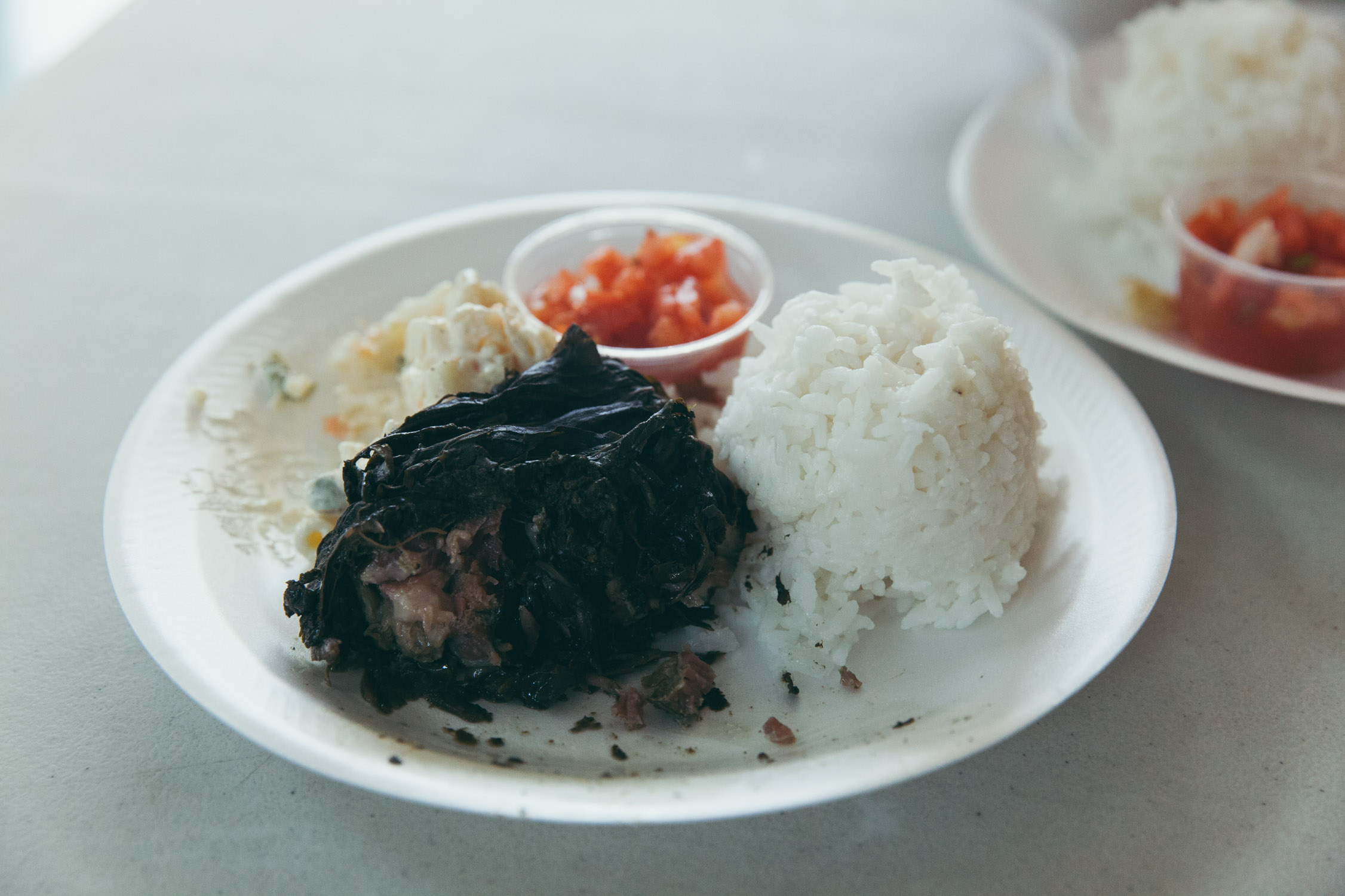
Kalua Pig and Cabbage
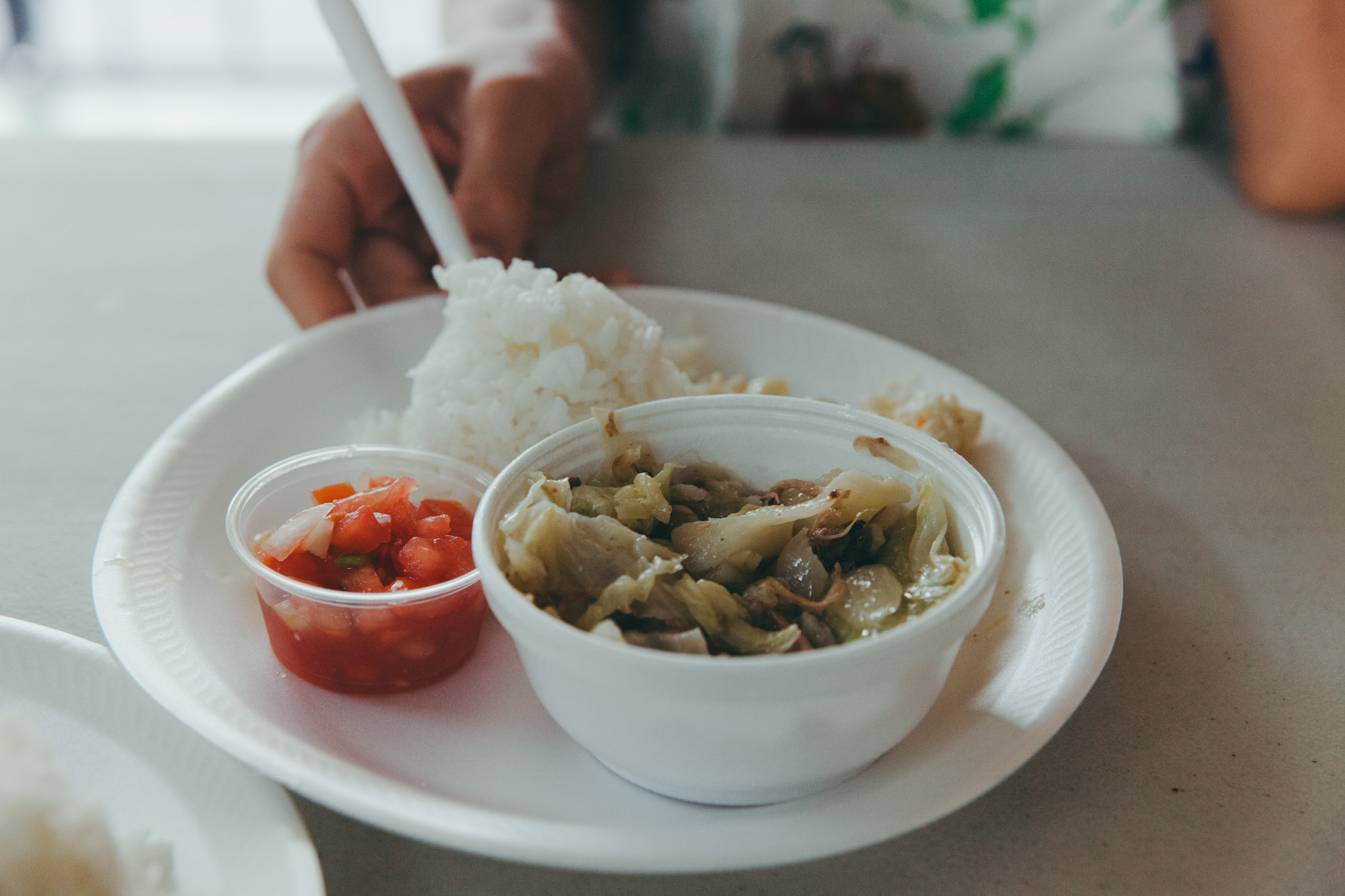
Chicken Laulau
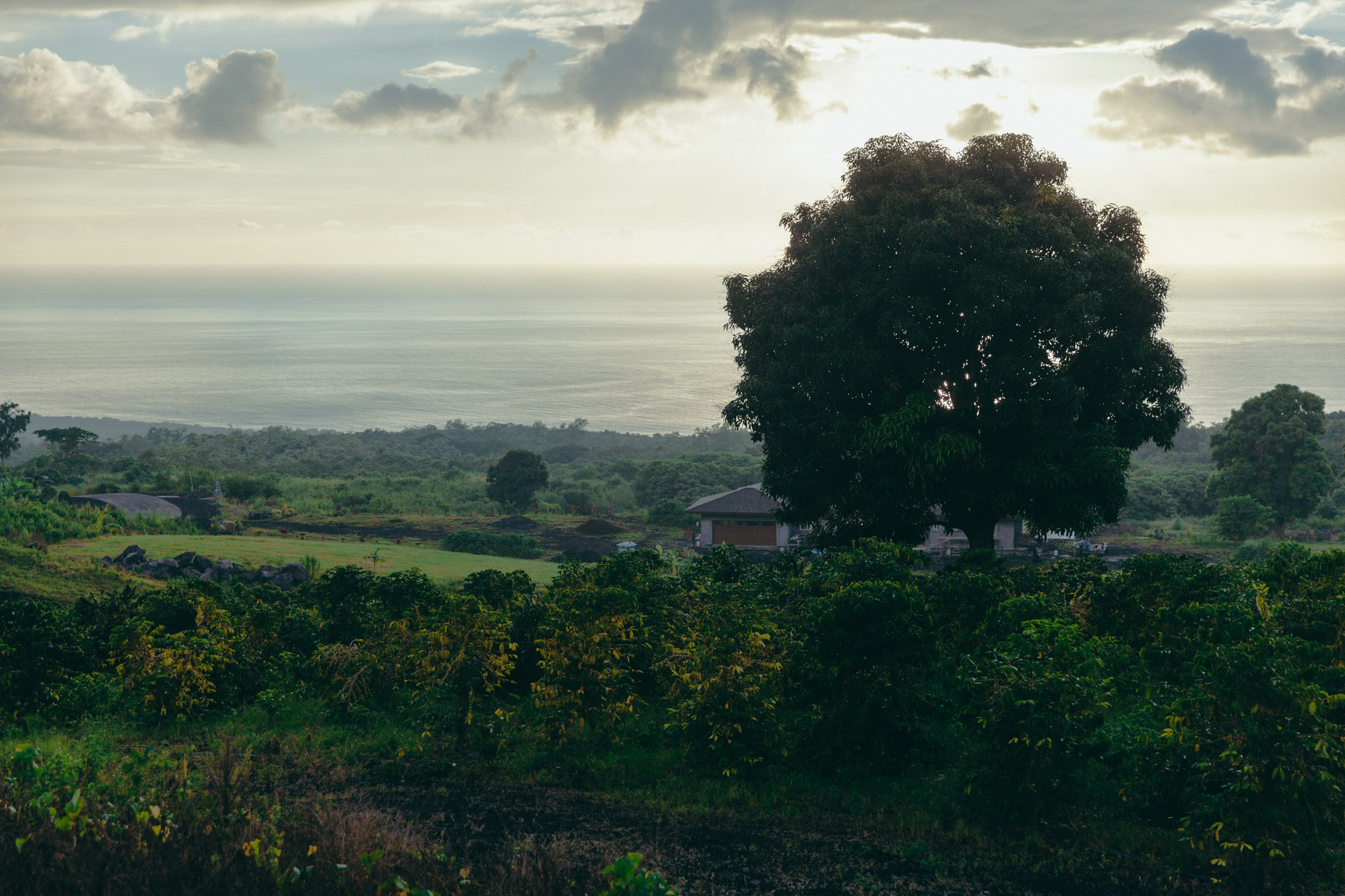
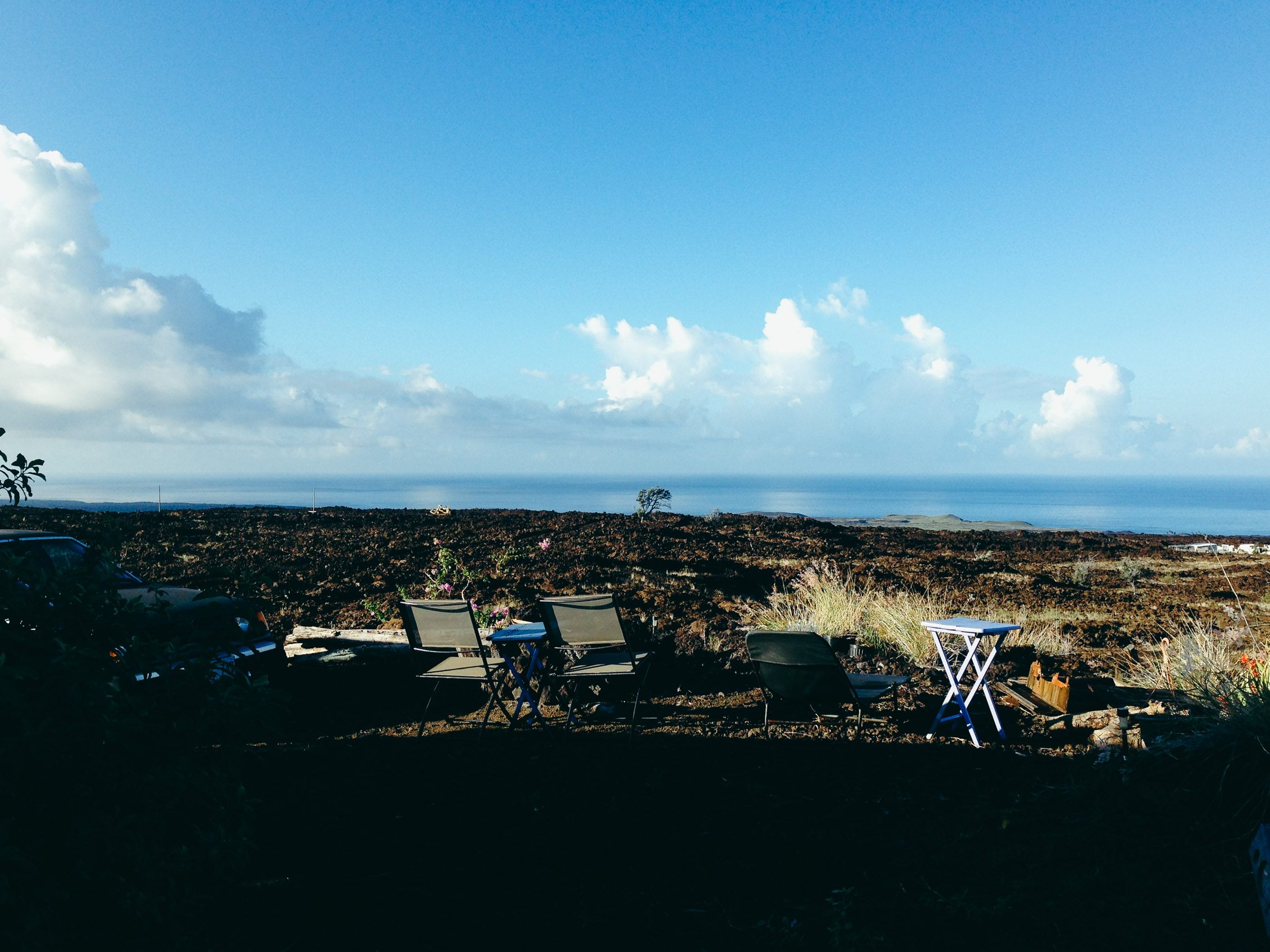
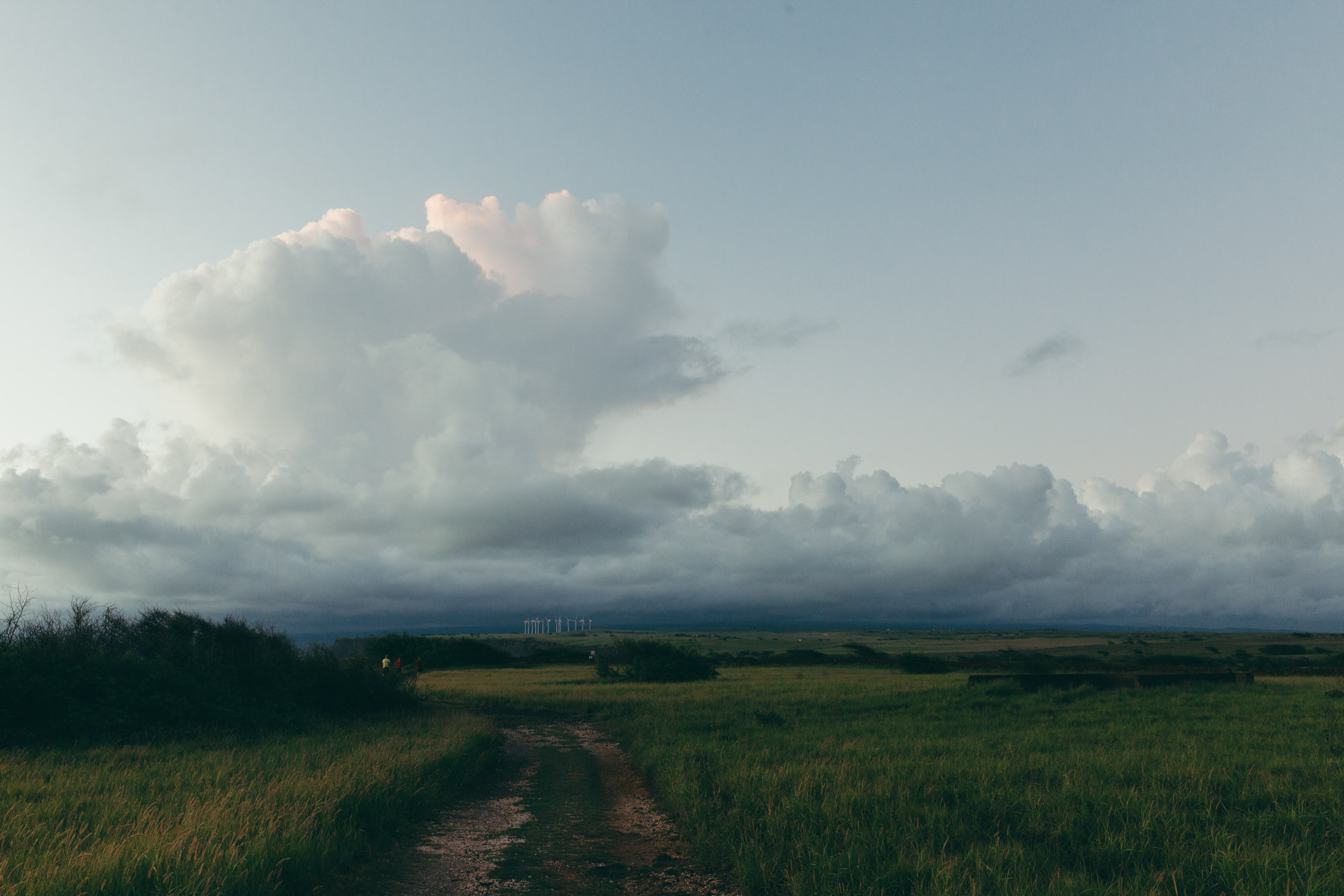
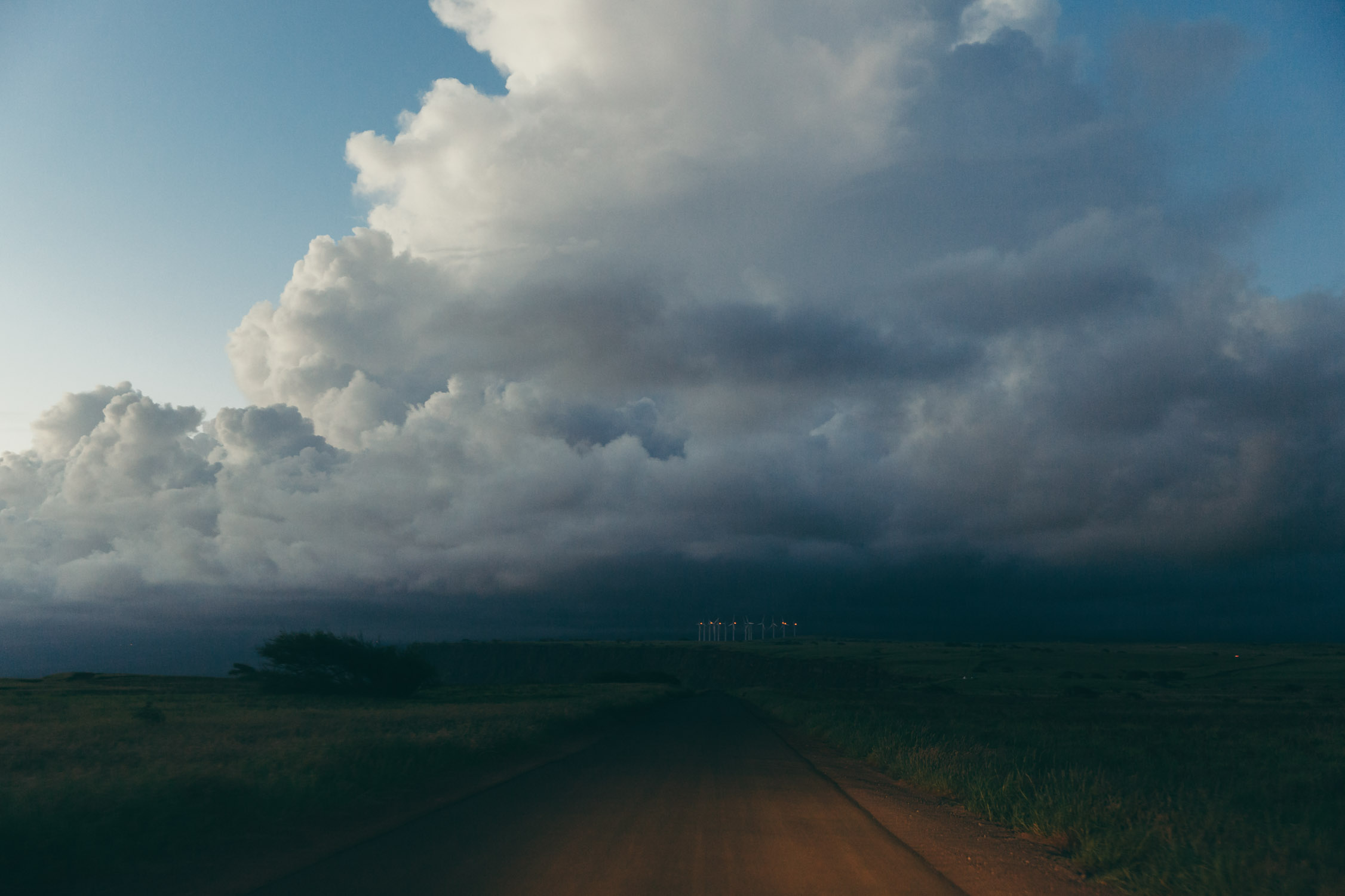
We reach Ocean View at nightfall. The highway leaves the green landscape to enter a desolated and black desert. That’s our destination. The city of Ocean View has been built on a historically recent lava spit (the last flow was recorded in 1907) that came down from Mauna Loa to the rushing water. A gridiron road network was built on it, and terrains were sold, bulldozed flat, then built up. Really interesting area.
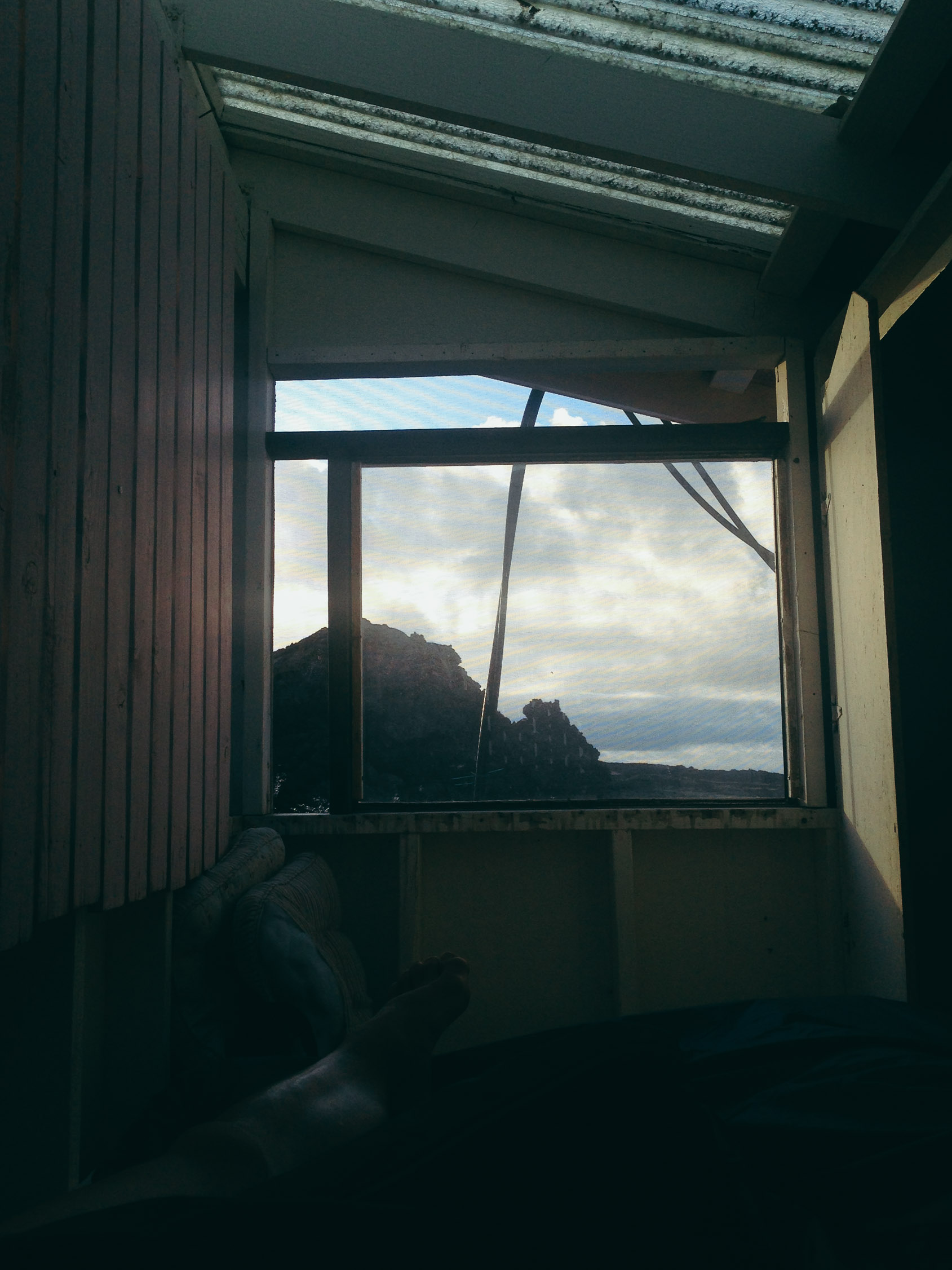
Billy (William) joins us after his work and we drive down to his house. The man is between the genius engineer and the mad scientist. The house is his friend’s, and because the electrical copper cables were stolen before he moved in, the place is off the power grid. He installed solar panels on the roof himself, and created electrical storage units from circuit boards, wires, and … car batteries. And it works well enough to power the house day and night with a stable 110V. Yes. Mad scientist and engineer.
We have long and interesting conversations during the evening, before climbing to the mezzanine to get some rest.
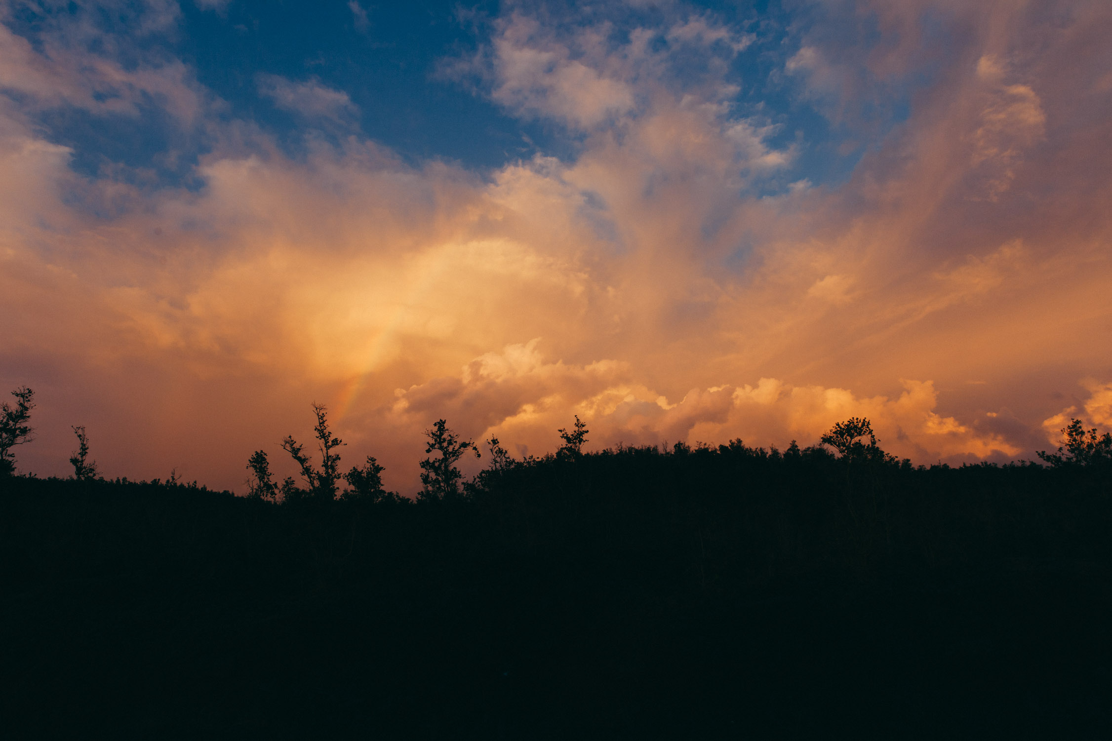
Sunset rainbow
Good night Moon
Day 10
Exploring the South
First wake-up on Big Island. Hello Sun! We have several interest points to see today before heading to the Eastern part of the island.
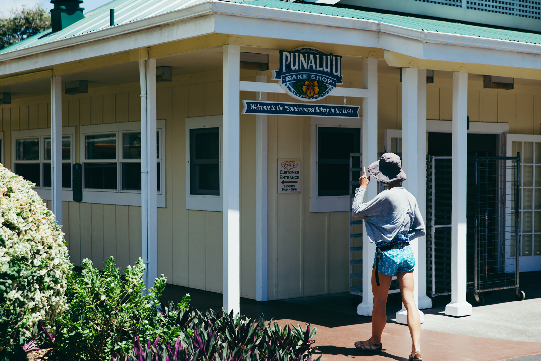
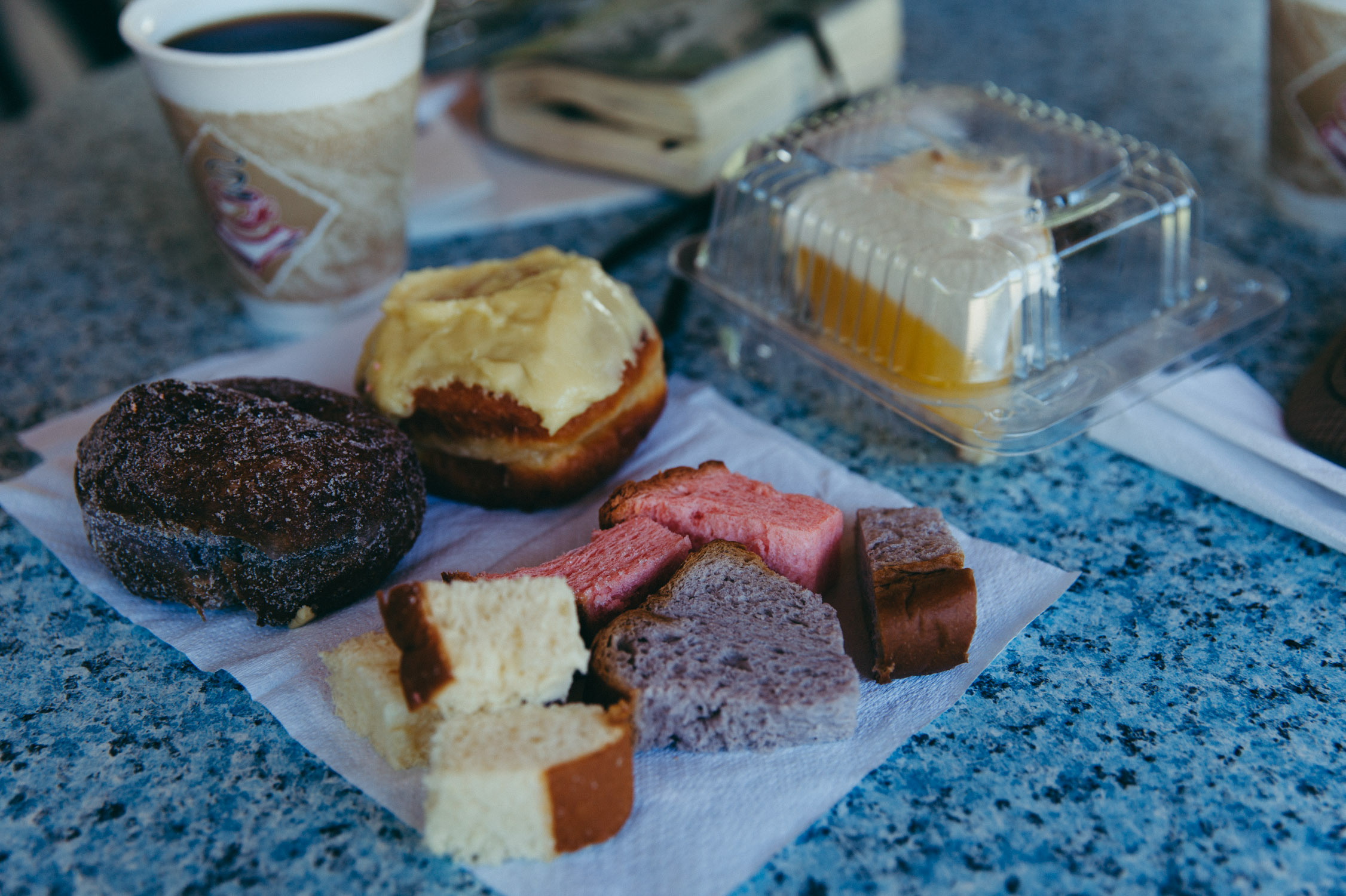
Naalehu
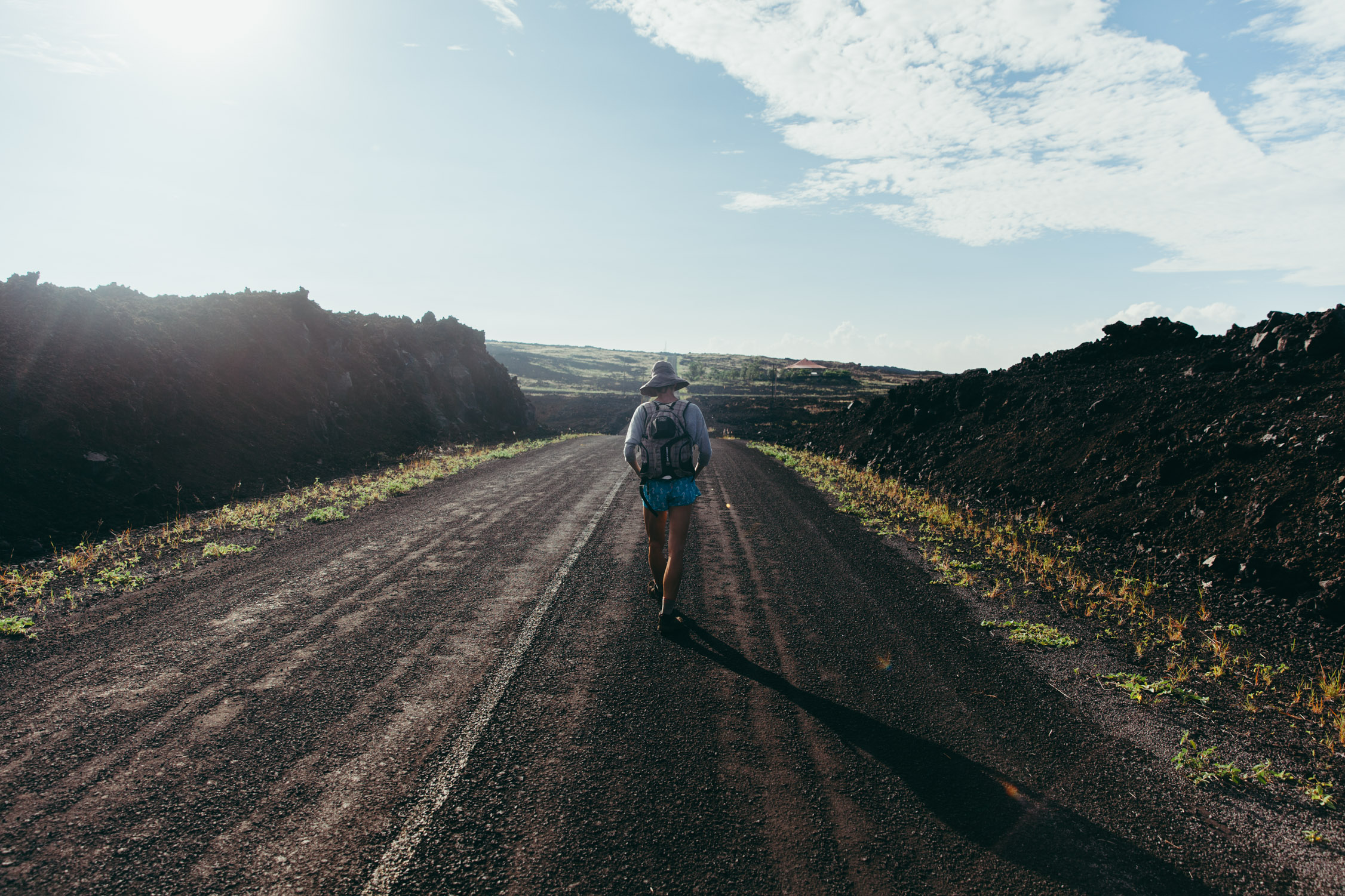
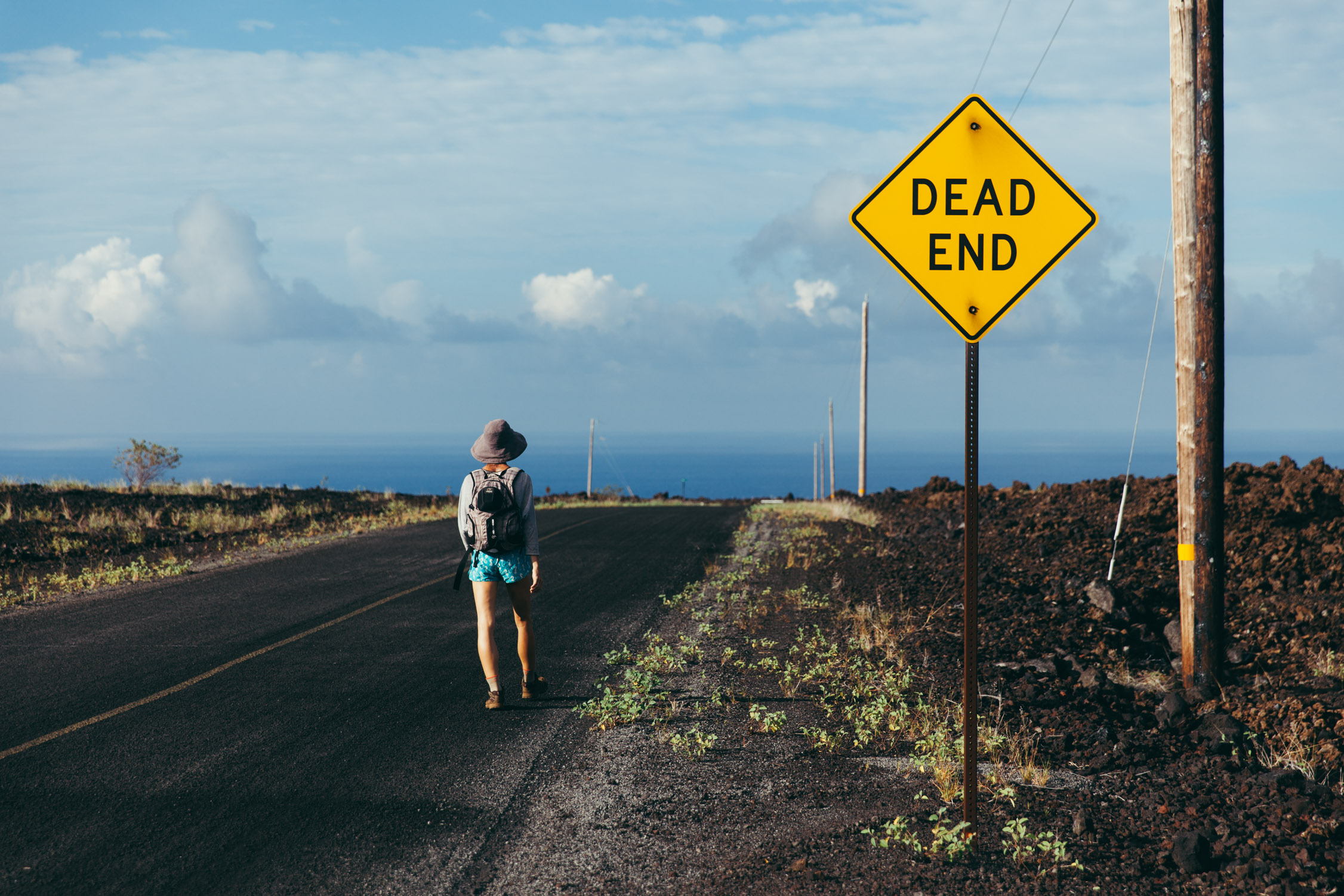
After a couple of U-turns just trying to get out of the maze that is Ocean View (just go back to the map above and zoom in where the name Ocean View is, you’ll see. Some of them are one-way, or dead-ends …), we get to Naalehu and stop at Punalu’u Bake Shop for our breakfast. We got the name from the Lonely Planet, but I wouldn’t say we recommend it though. They are famous for their colored bread and pastries … but that fanciness actually comes from flavorings and food coloring. We breakfast on non-colored goodies.
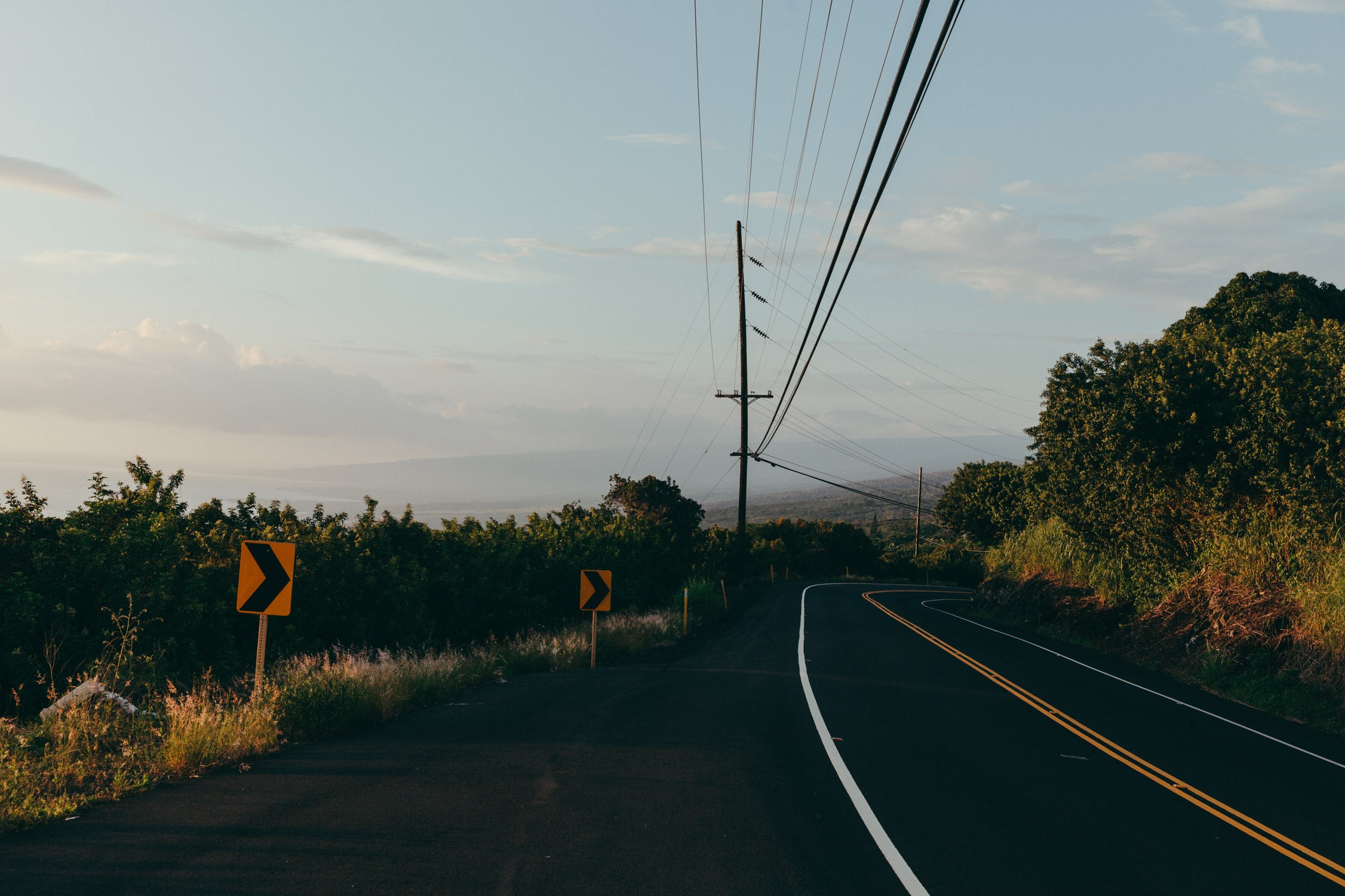
Back on the road, we drive around the “tip” of the island and start heading North. The view is amazing. The beauty of Big Island resides in its contrasting landscapes and views. One morning your eyes only see black lava rock, the afternoon, all is green and blue. Stunning.
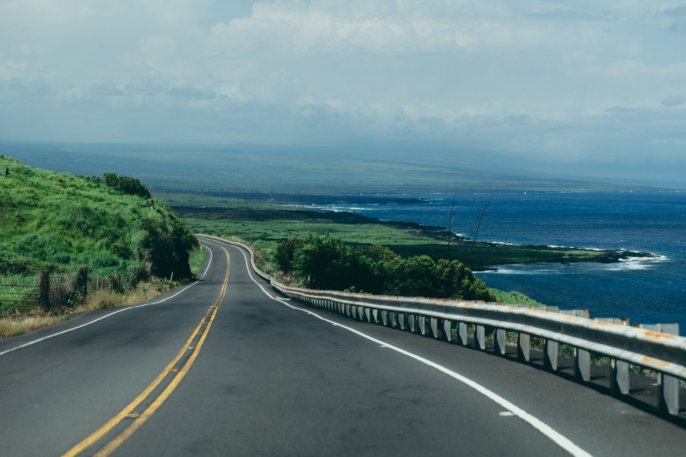
Driving down Mamalahoa Highway to the East Coast of Big Island.
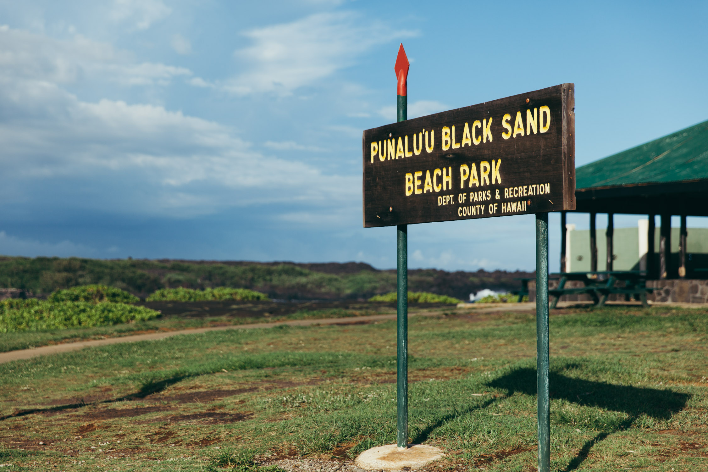
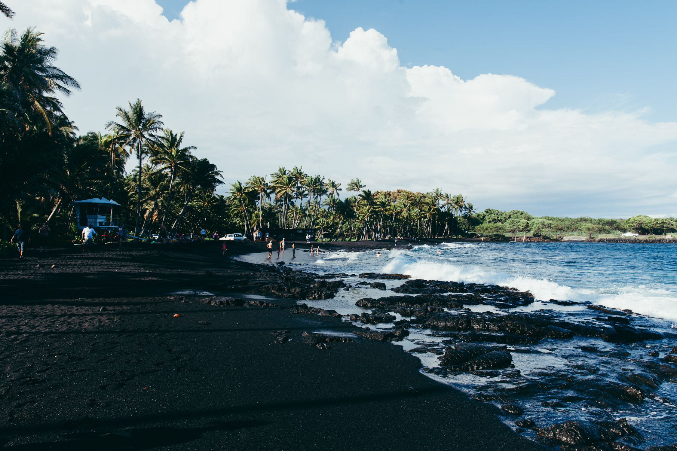
Punalu’u Black Sand Beach
We reach Punalu’u Black Sand Beach, one of the few touristic black-sand beaches, and famous place for snorkeling. Billy offered us two sets of masks and tuba, and we are eager to explore this underwater world. It is Tetyana’s first time snorkeling, and she could not hope for such a special place to experience it! The water is warm, the waves not too strong, and the current friendly.

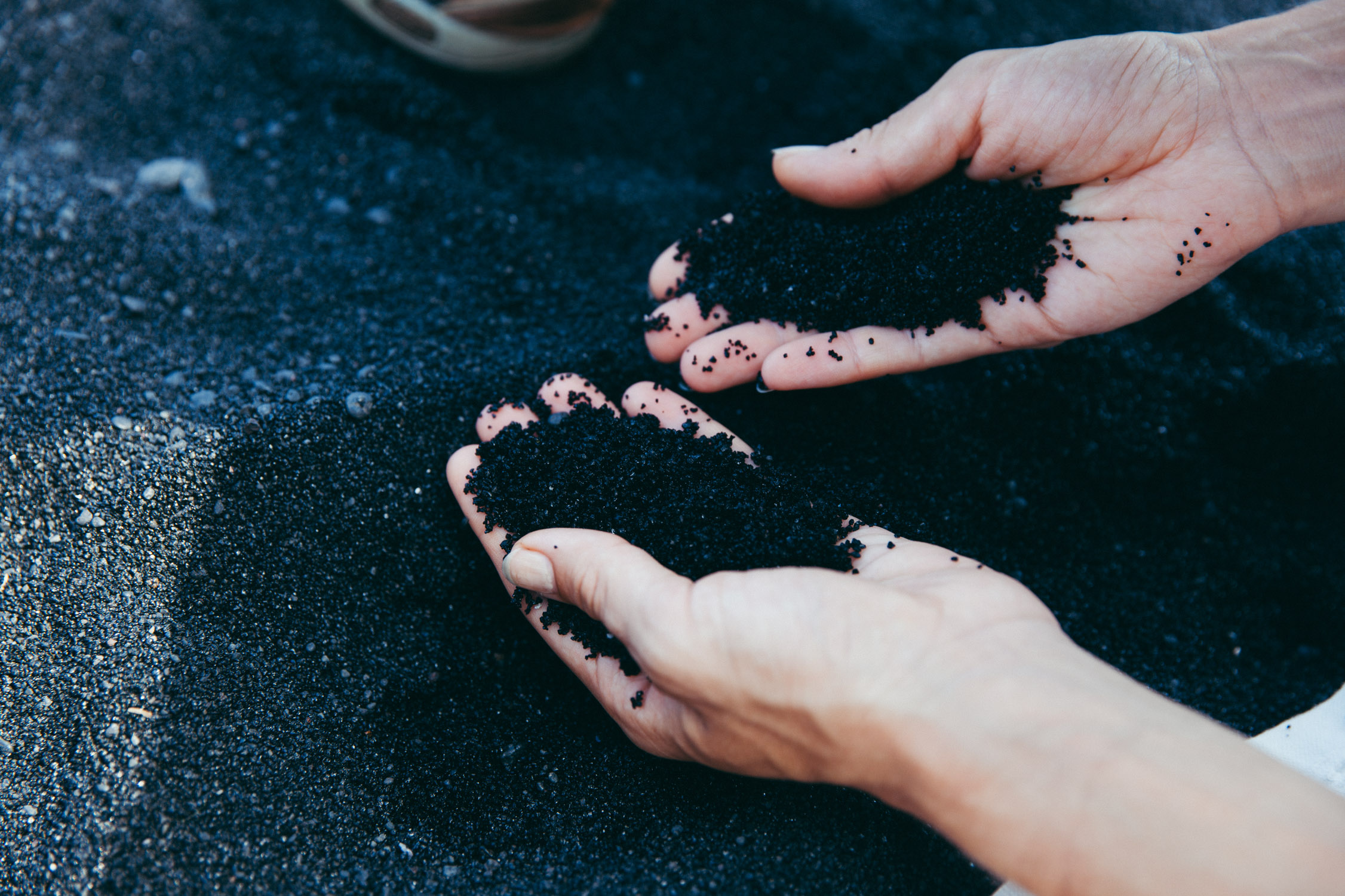
First black sand for Tanya!
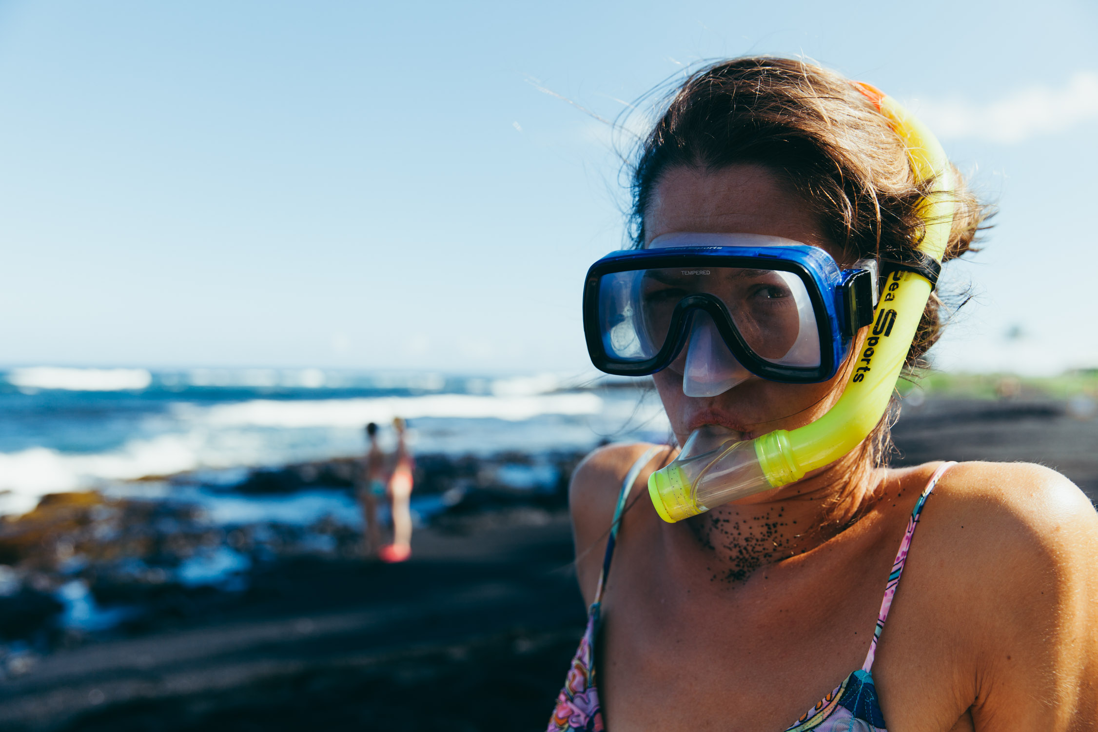
First time snorkeling!


We spend a good time in the water, and I decide to get out to rest a bit before something bumps into my right leg. I turn on the GoPro and dive. Aloha Turtle!

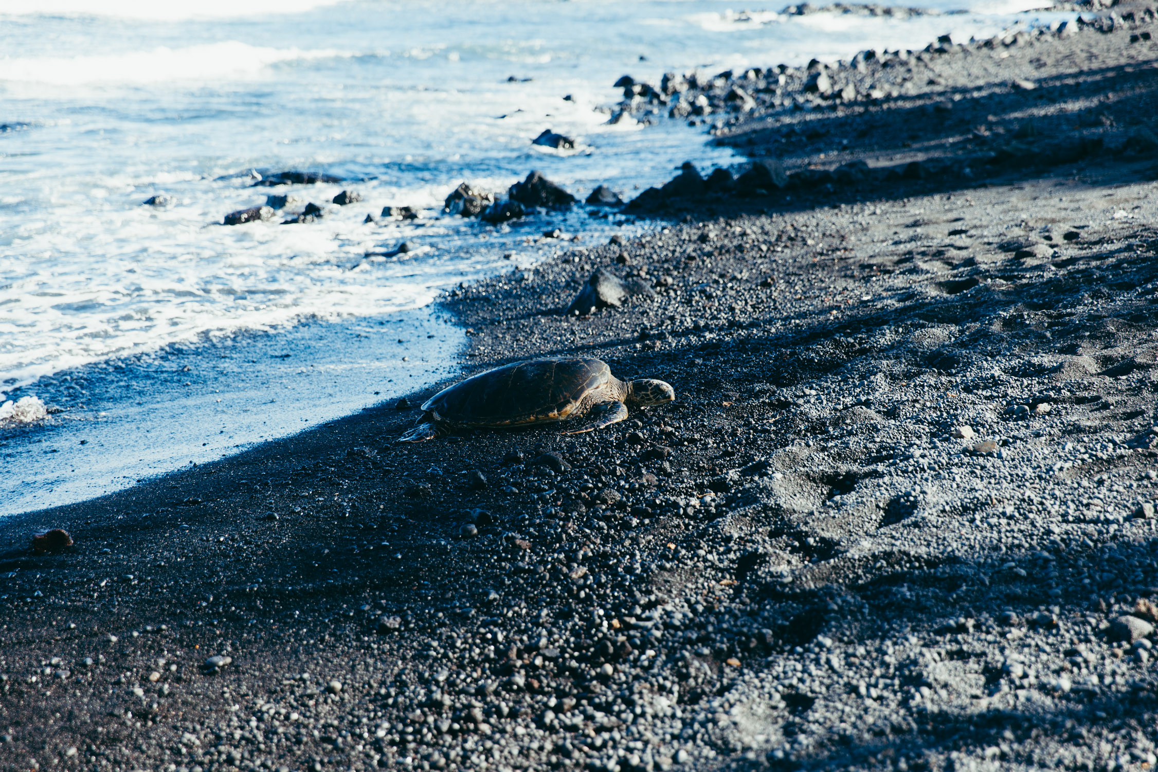
Turtle! You bumped into me, dude!
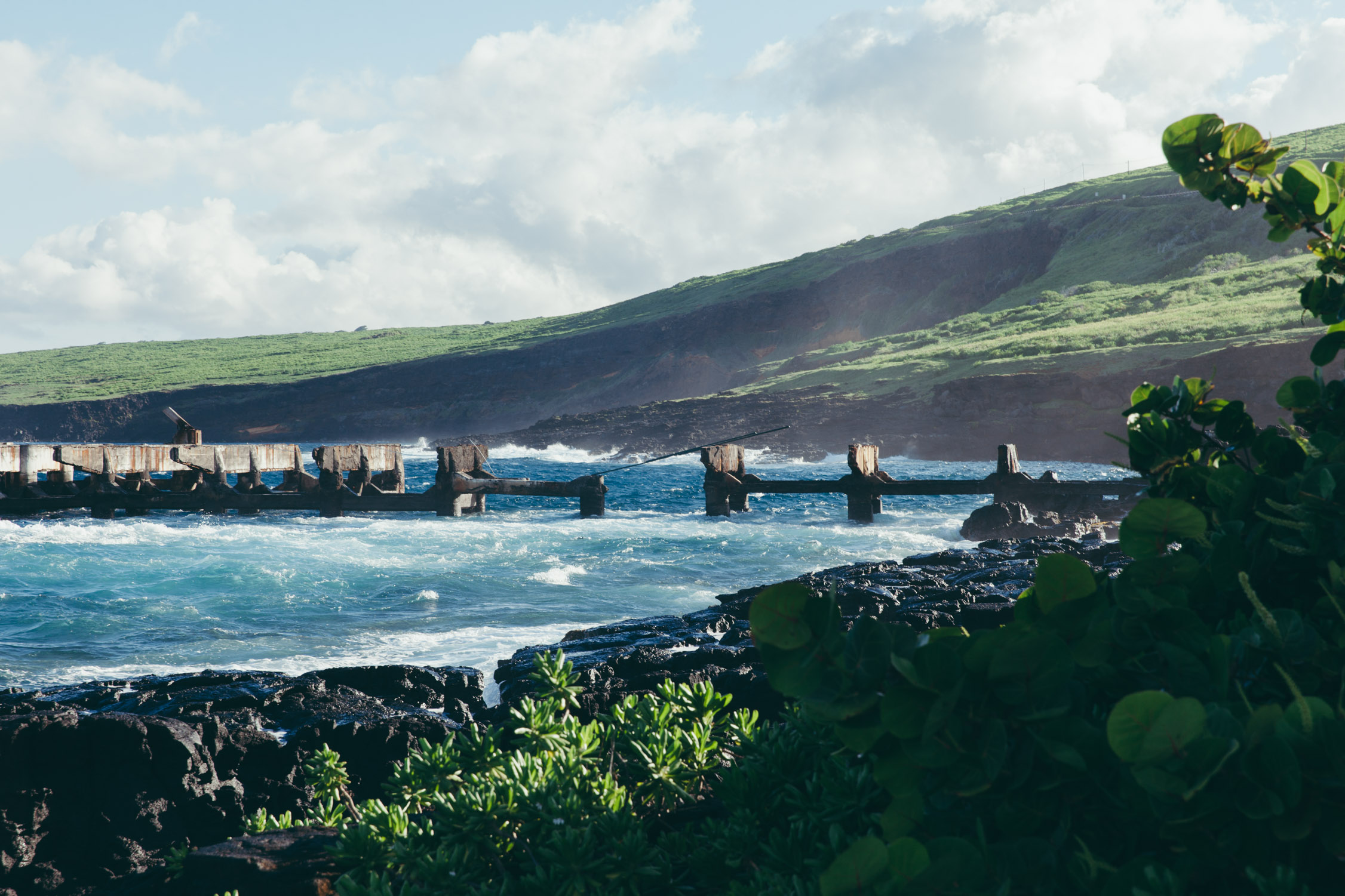
On the way back, we stop at Whittington Beach Park and Honu’apo Bay, for a quick snack and more amazing nature sight-seeing. Views of Hawaii are delights are the eyes and the soul.
South Point
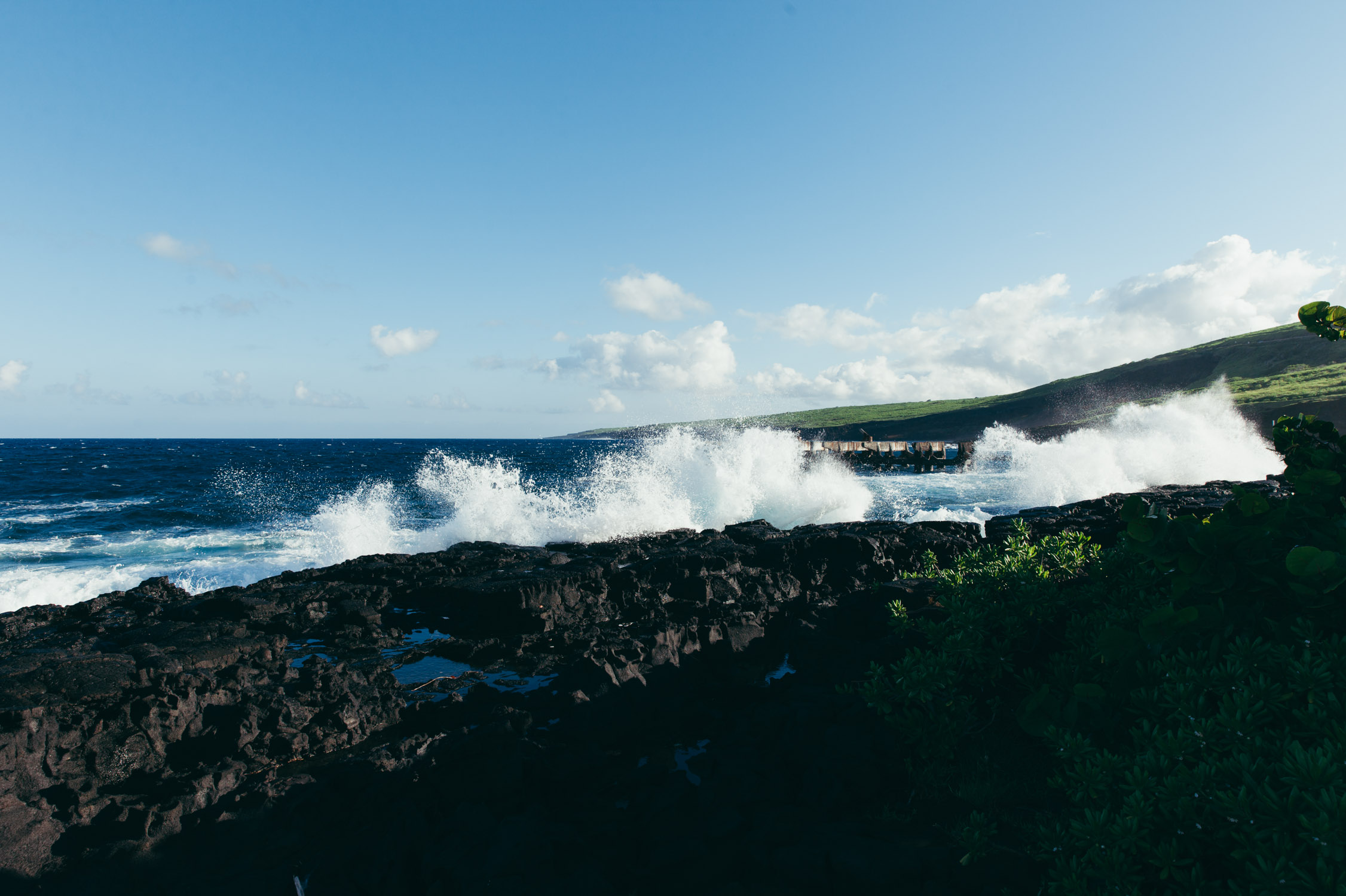
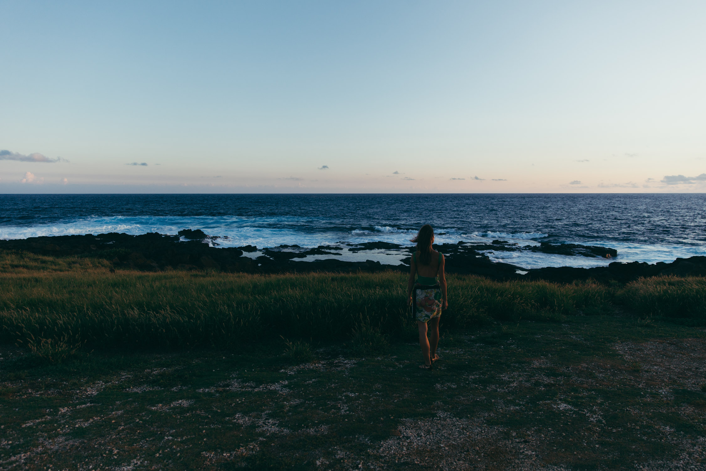
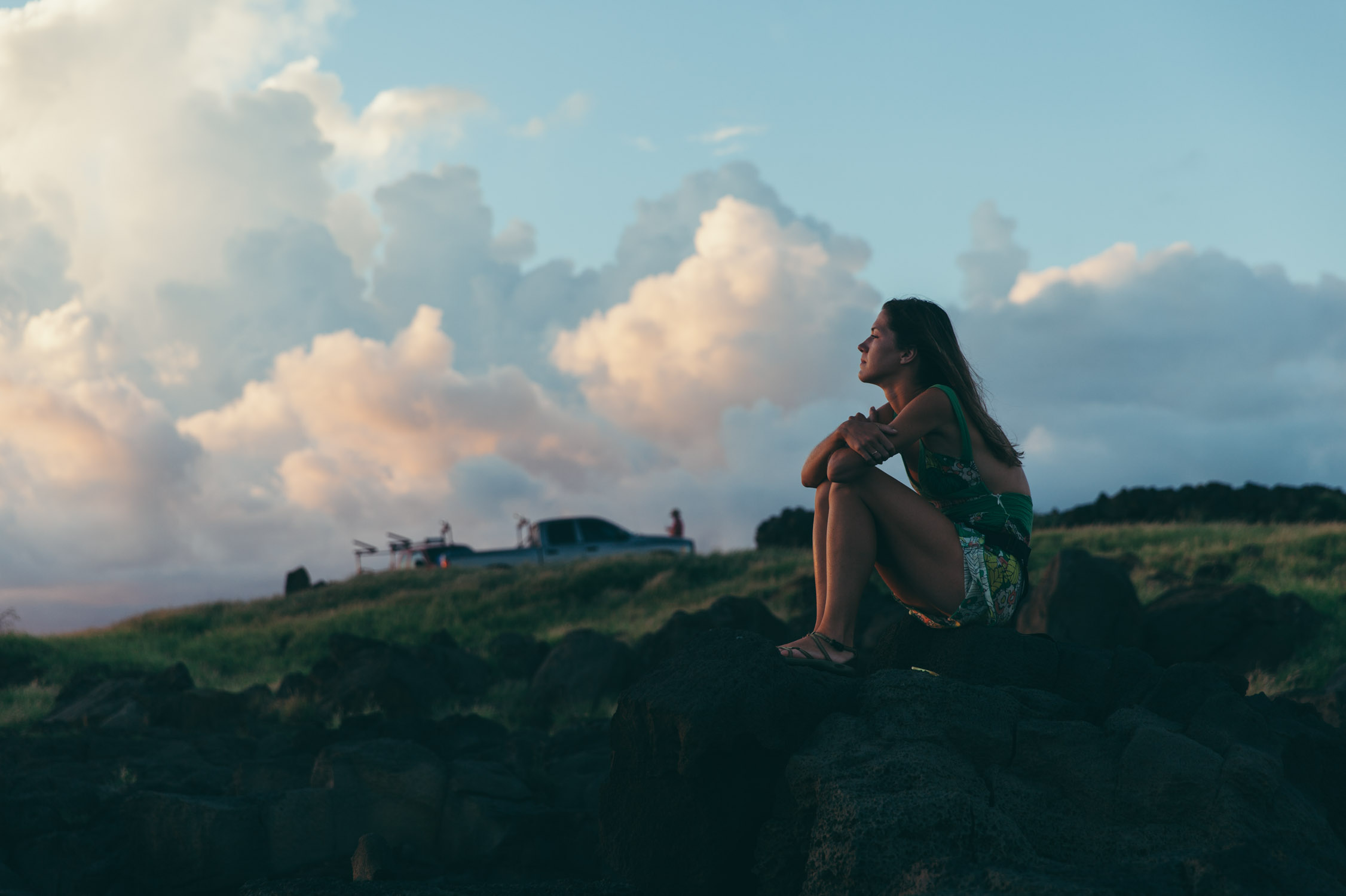
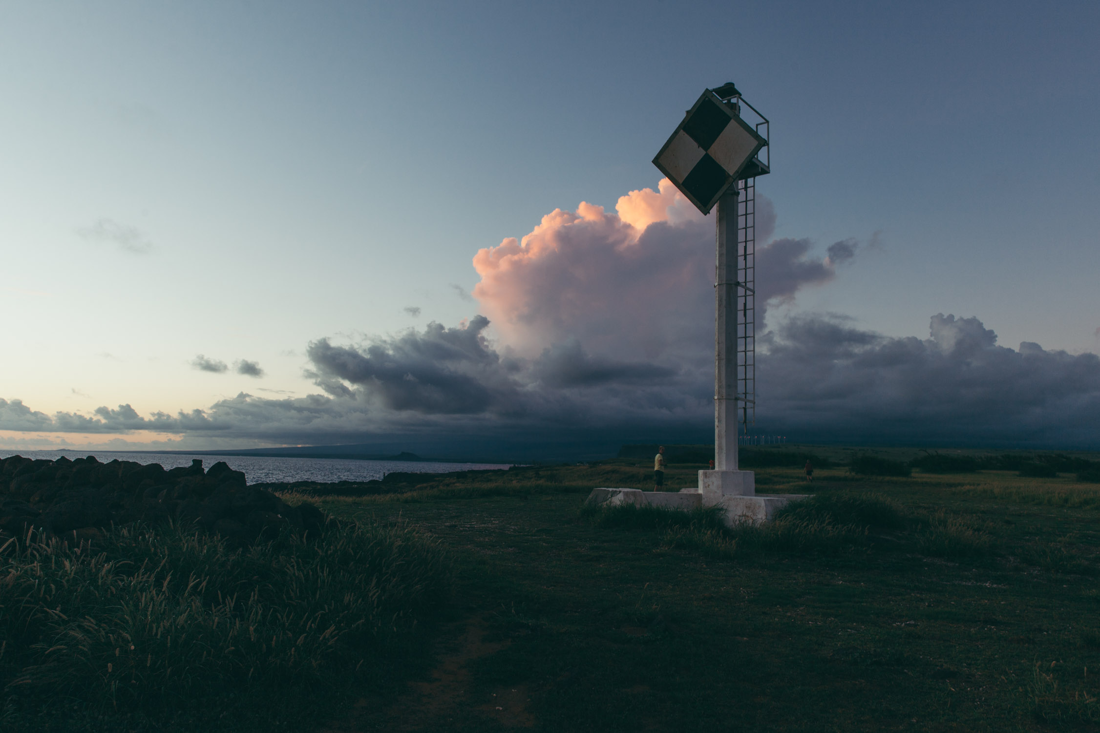
Our last discovery of the day is South Point, the South tip of the island. Its geographical location makes it the Southernmost land of the whole 50 United States. This angular point cuts into the Ocean, and interestingly creates strong currents coming from East and West of the Island, breaking strongly into a triangular shape.
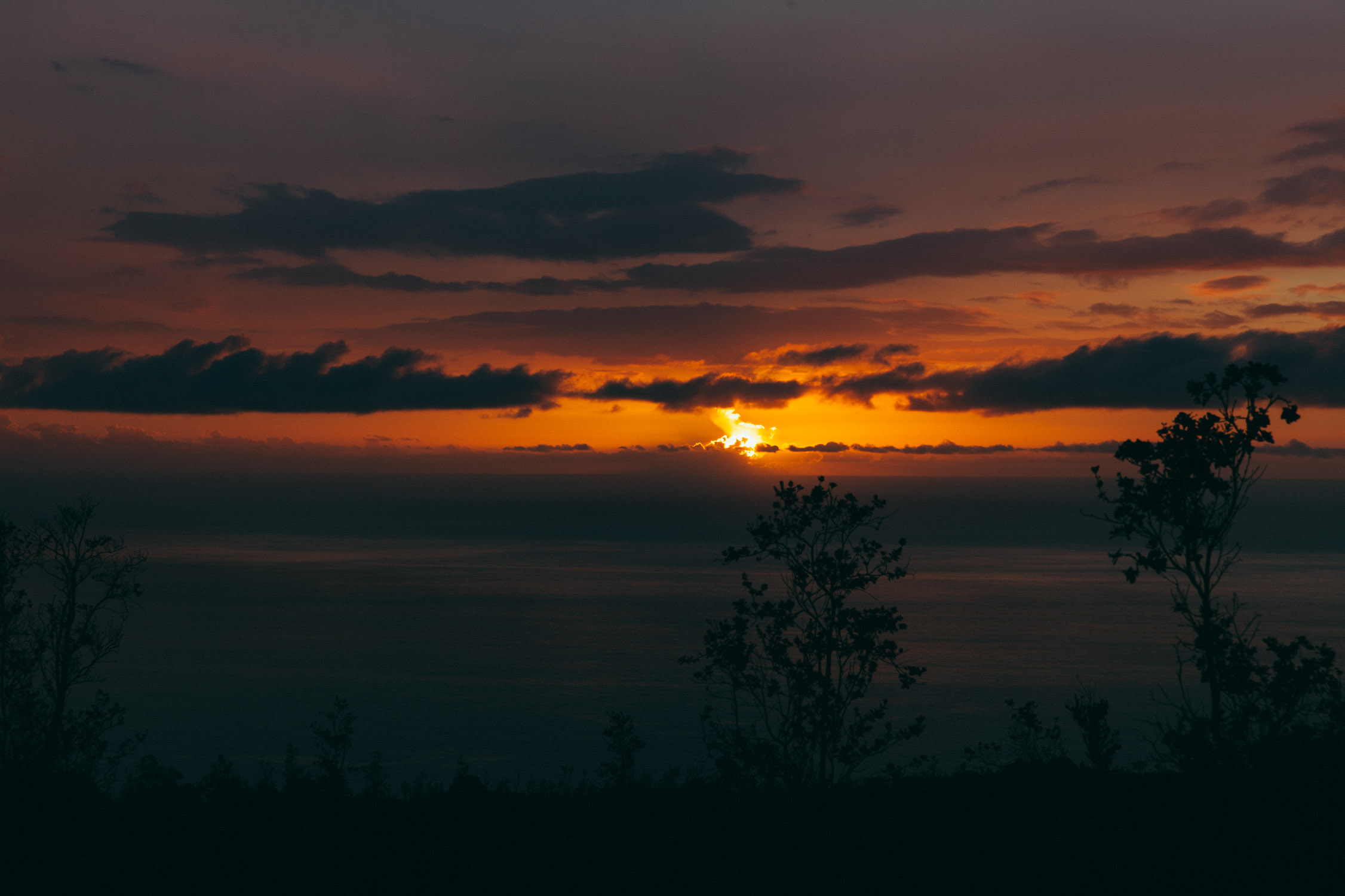
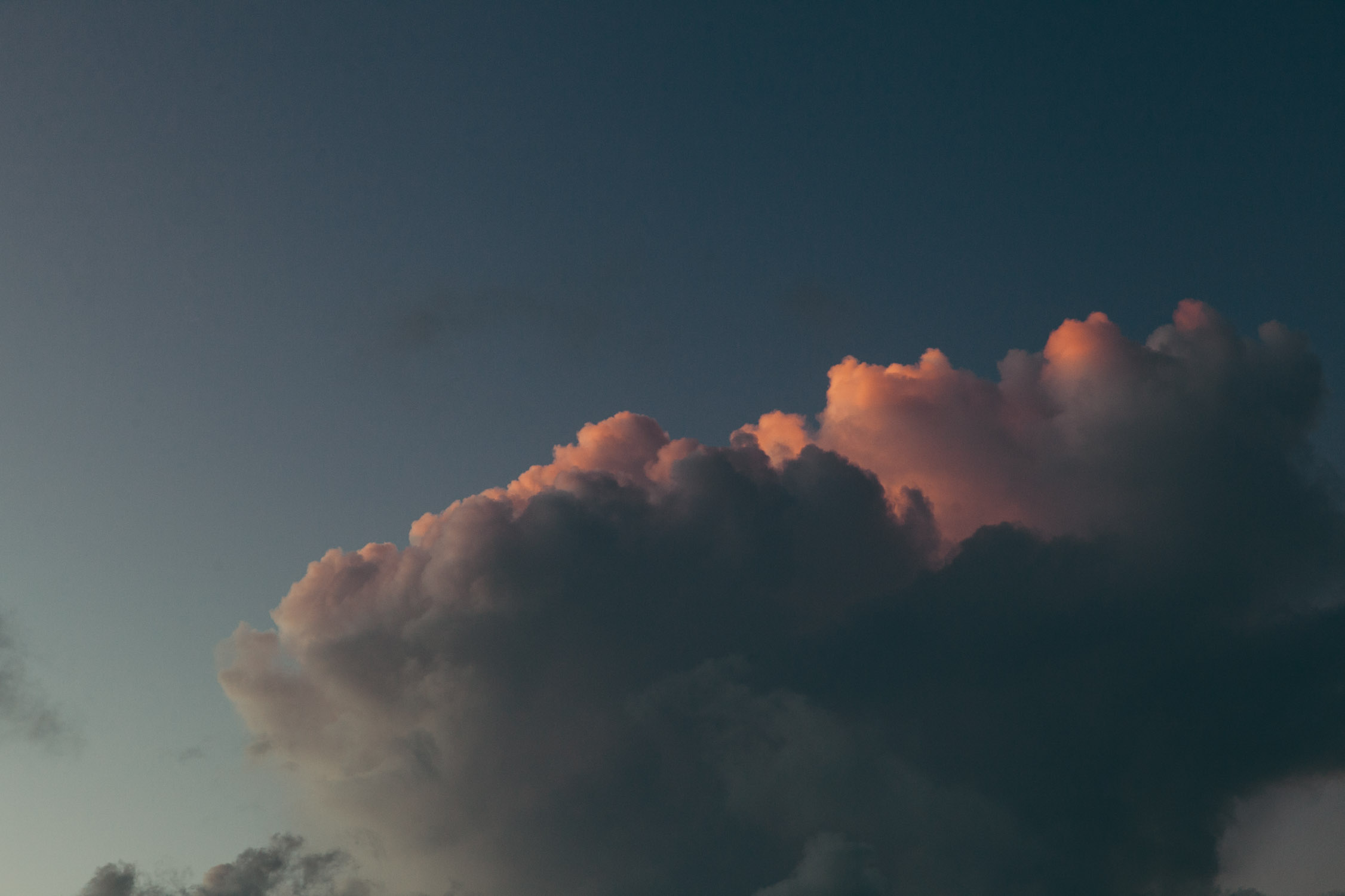
We stay here to watch the Sunset, slow tableau playing with the roaring sound of the water breaking on the rocks. An edit of softness and strength.
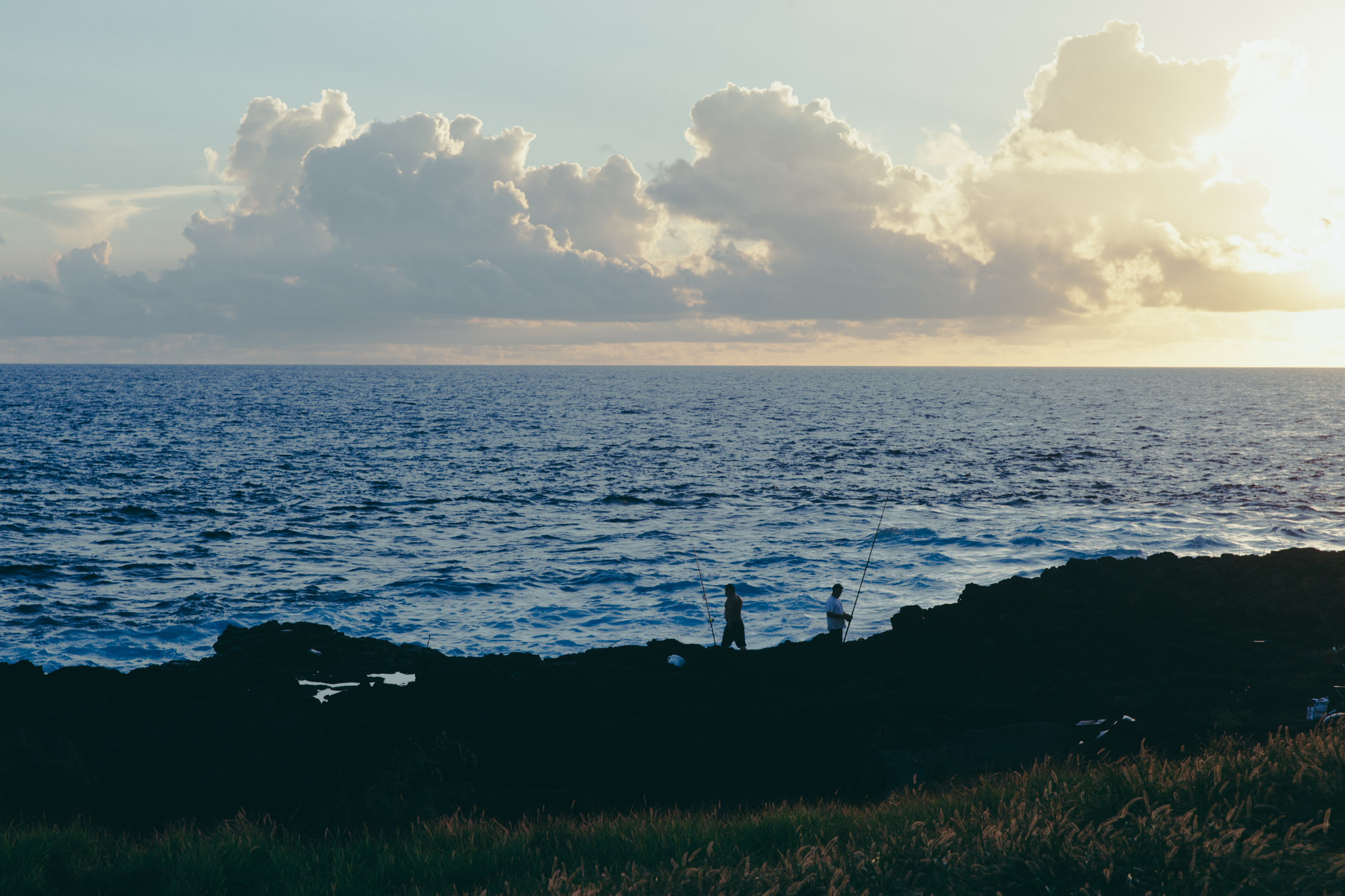
Fishermen


Day 11
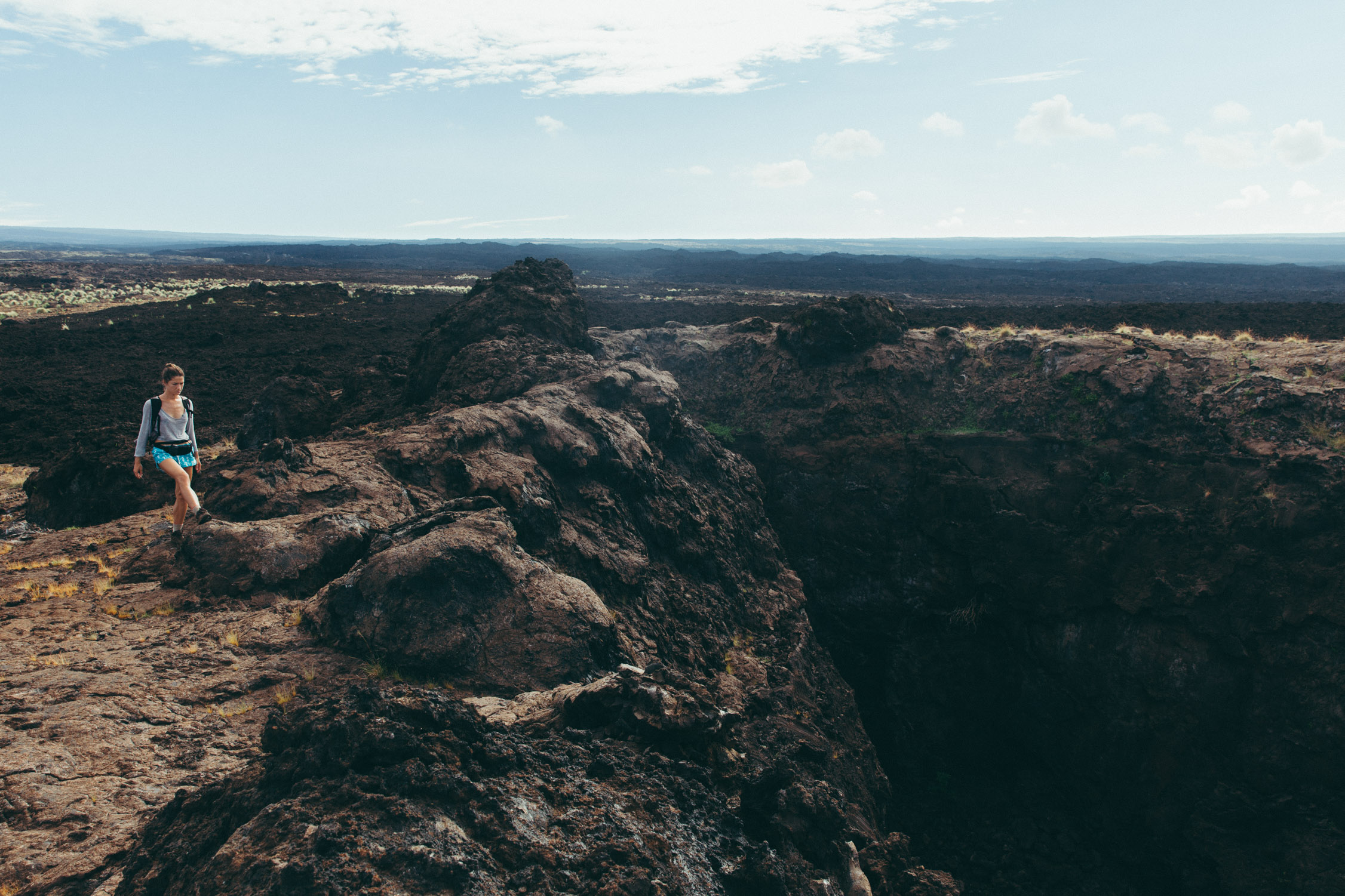
White Coral Trail
That is no official name, as this “trail” is off the charts and seems to be only known by locals.
Finding the trailhead is not an easy thing in this neighborhood. “Right, left, then down when you see the “dead end” sign, left, and search for that kind of house (oh be careful of the unleashed angry dogs) and look across for a dip in the rocky landscape.”
Let’s try to find the trailhead!
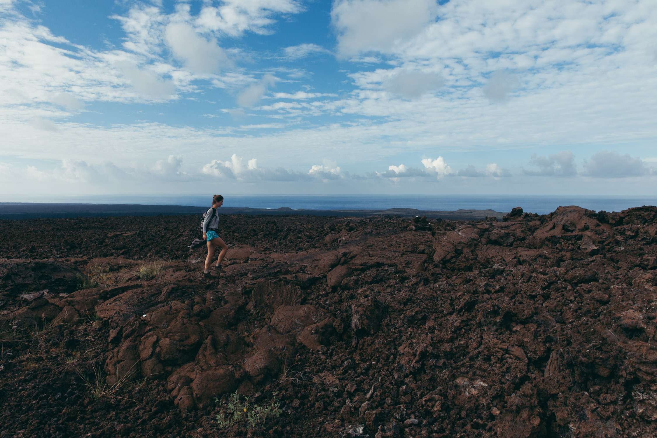
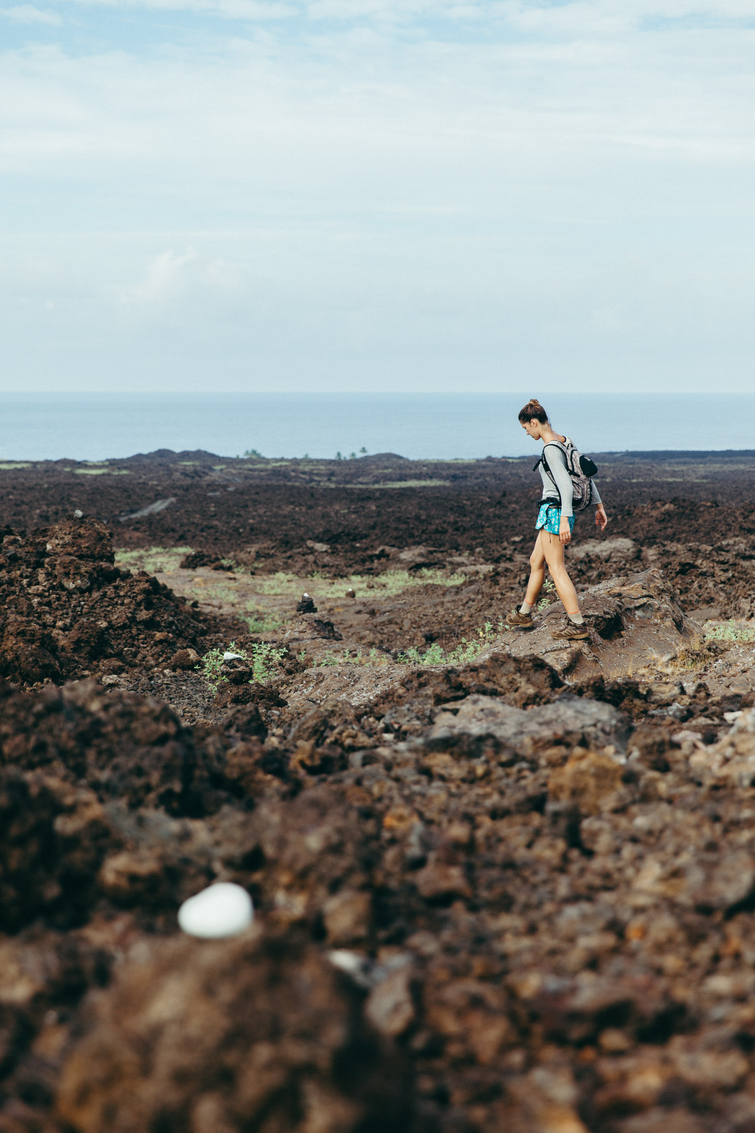
But it is worth the hunt. The “trail”, well, is actually no trail. You don’t follow a path traced out into the ground by fellow hikers. No. The route is actually indicated with small pieces of white coral placed here and there onto the black-lava rock landscape. Little adventure.
Have you own little adventure! Would you get lost? Try to find and count all the little pieces of coral in the next pictures. Answer at the end of the trail …
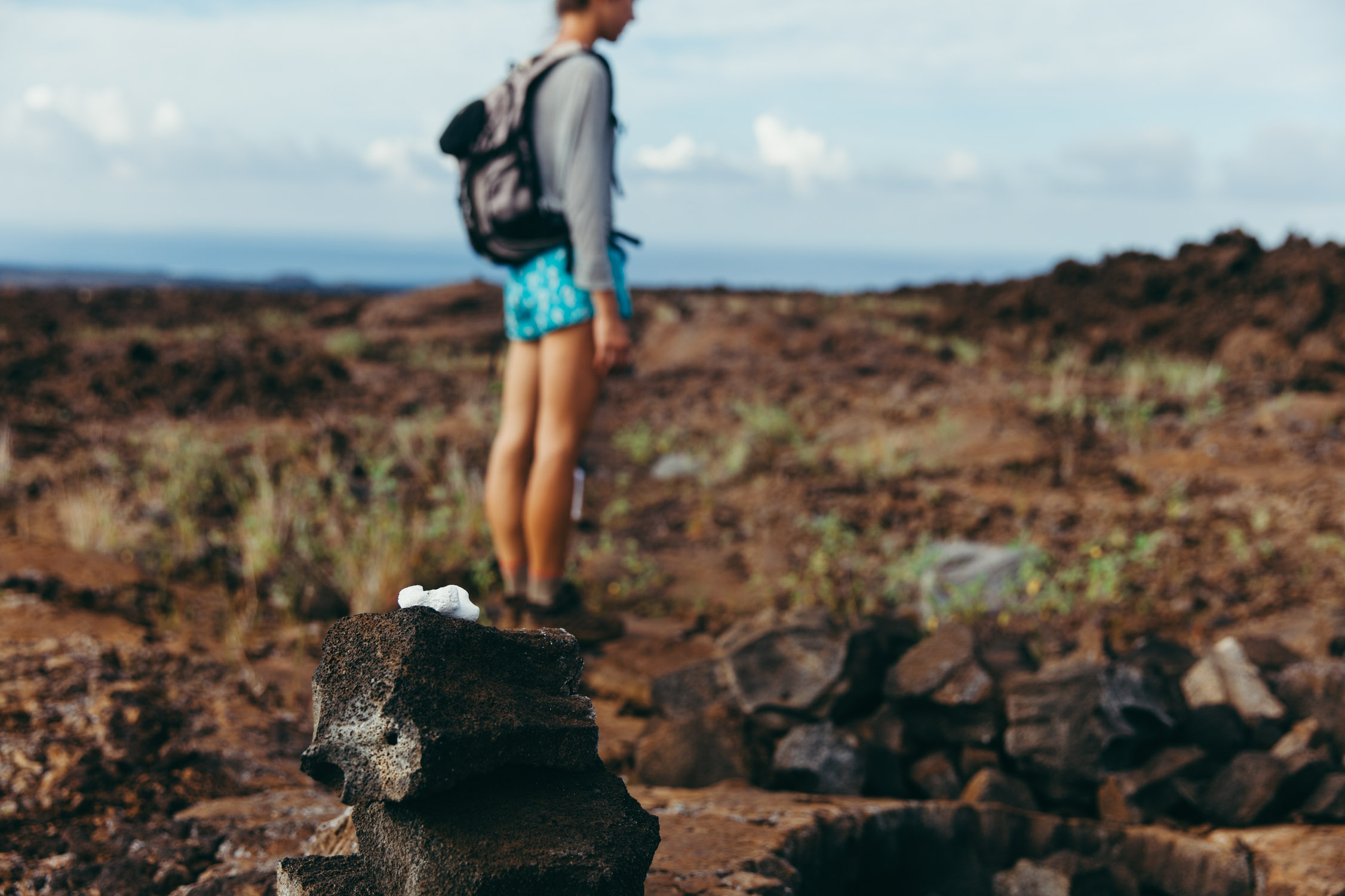
First one! Little piece of white coral on the black lava rock.
There are several pieces visible in the picture.
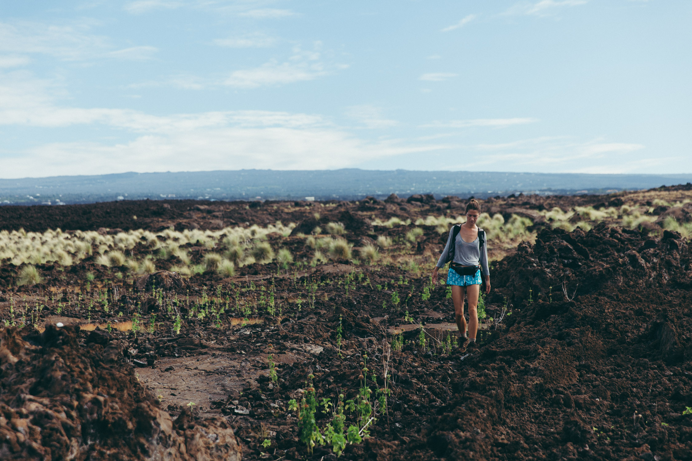
We walk down carefully, as nobody would enjoy tripping, falling onto that spiky, sharp, razor-cut terrain. The pieces of coral are placed every 200~500 ft, which makes the path not obvious to the ones who aimlessly wander around here, yet identifiable for those who seek it.
Some “mountain goats” (here?) run around a large and deep volcano chimney, only to later jump above wide fissures in the ground …
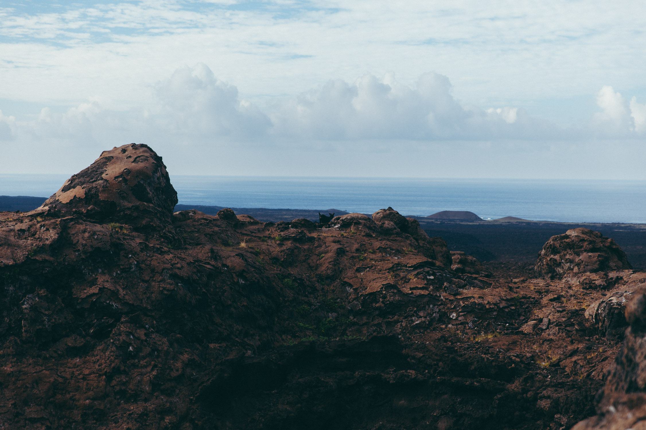
A chimney. In the middle of the picture, some kind of goat.
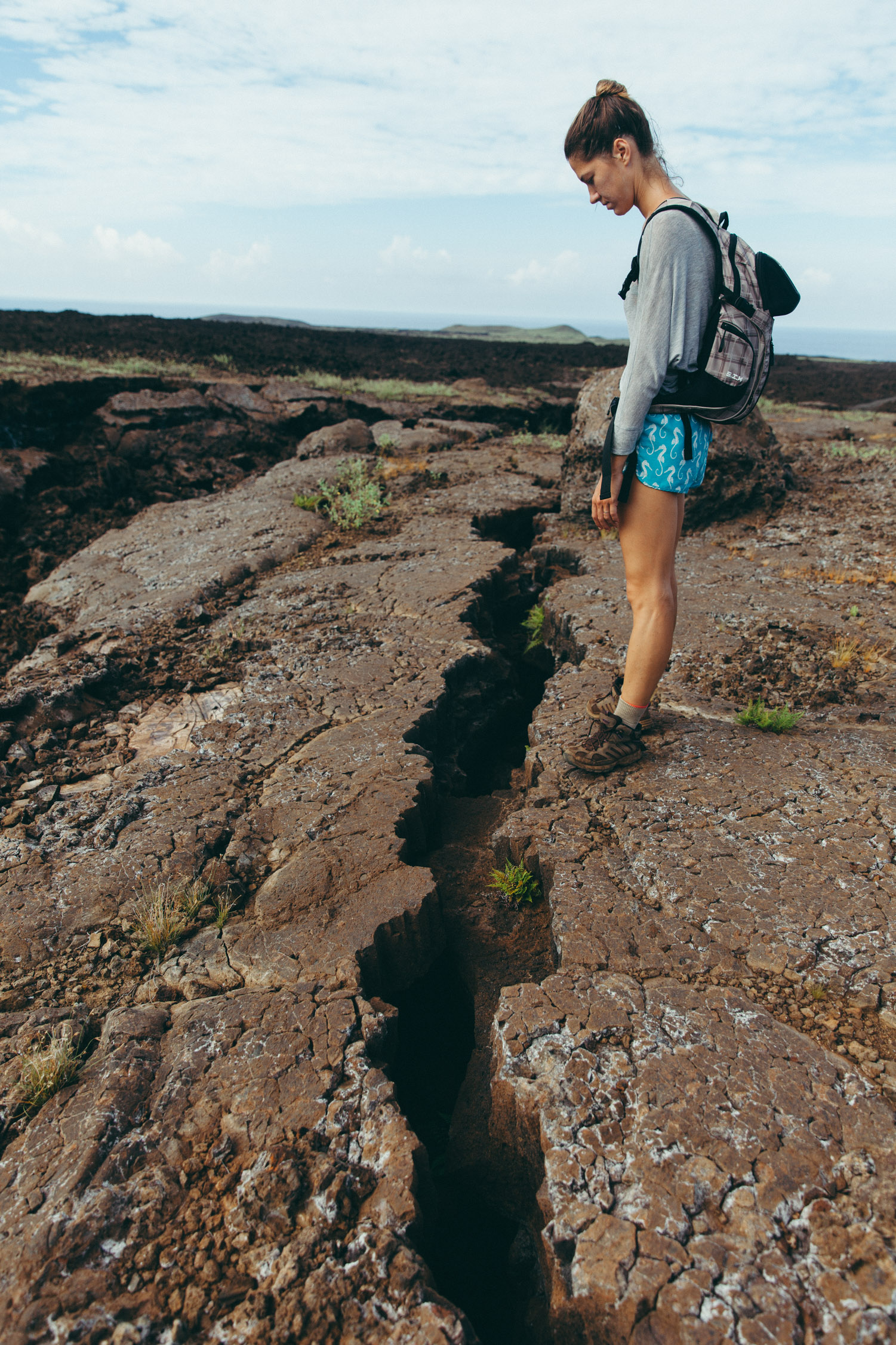
Amazing natural constructions.
Getting to the beach!
There were 10 pieces of coral. Congrats?!
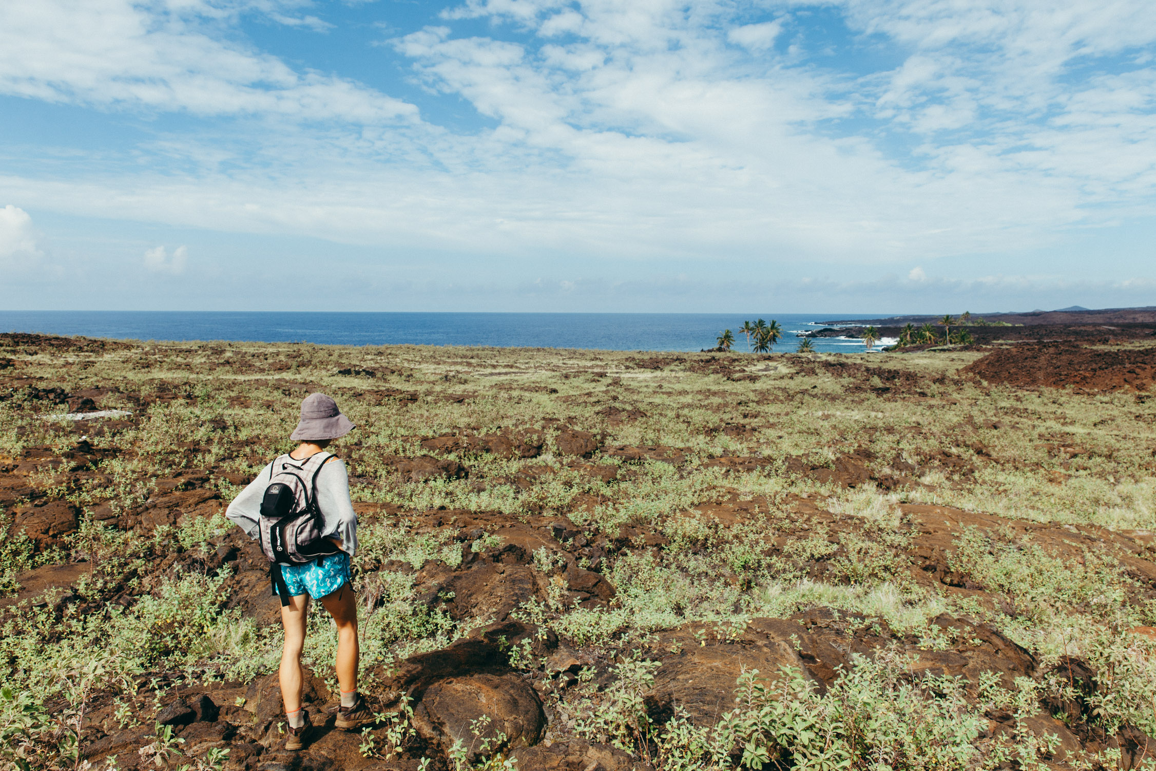
Pohue Bay Beach
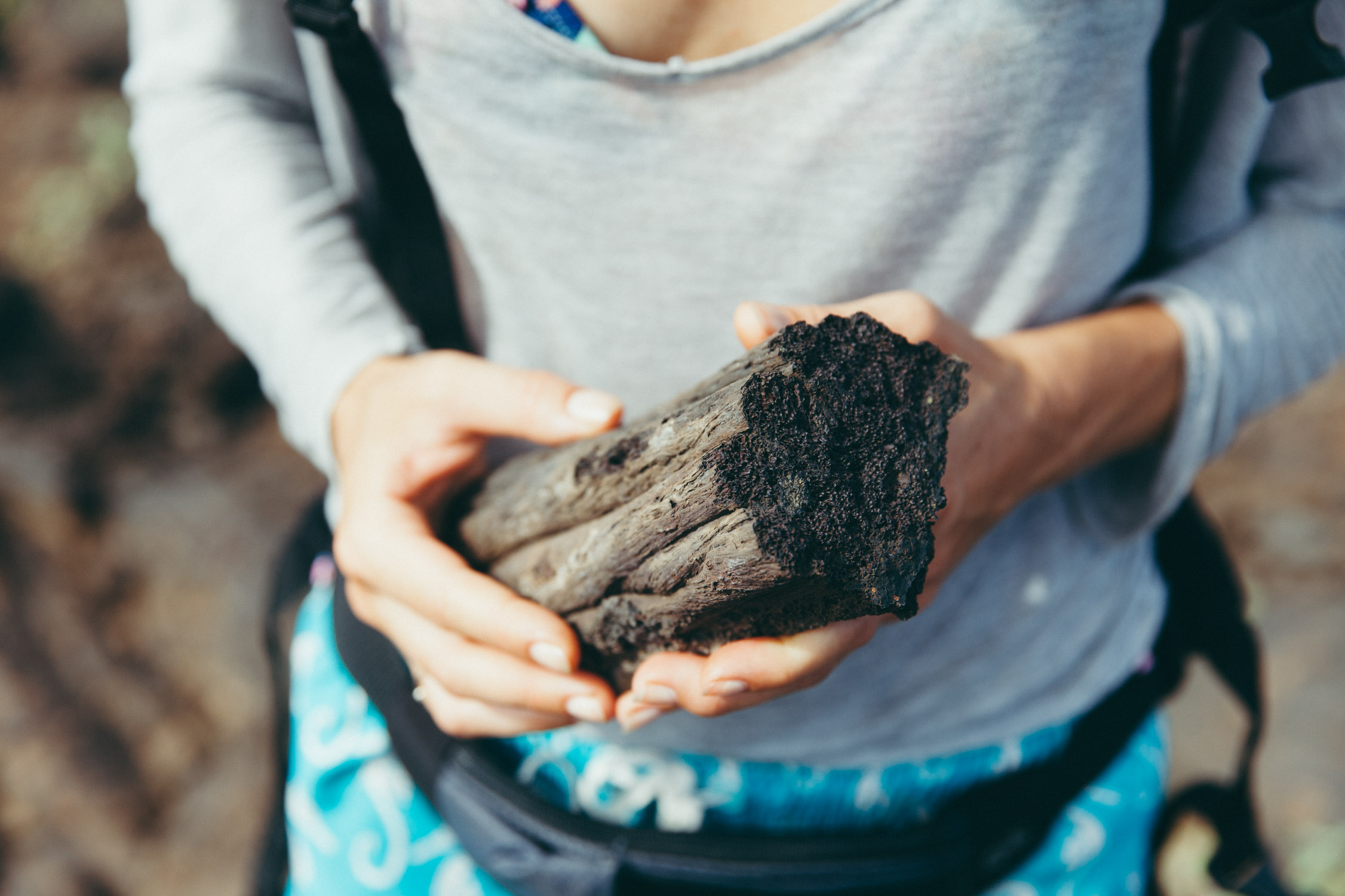
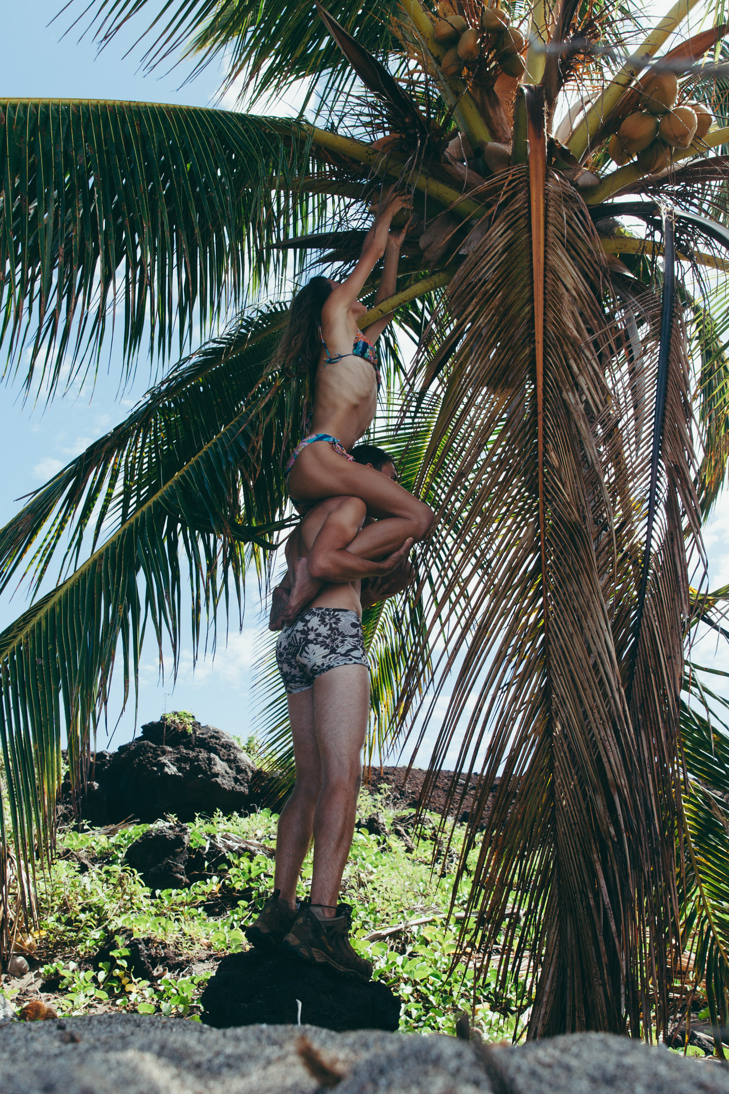
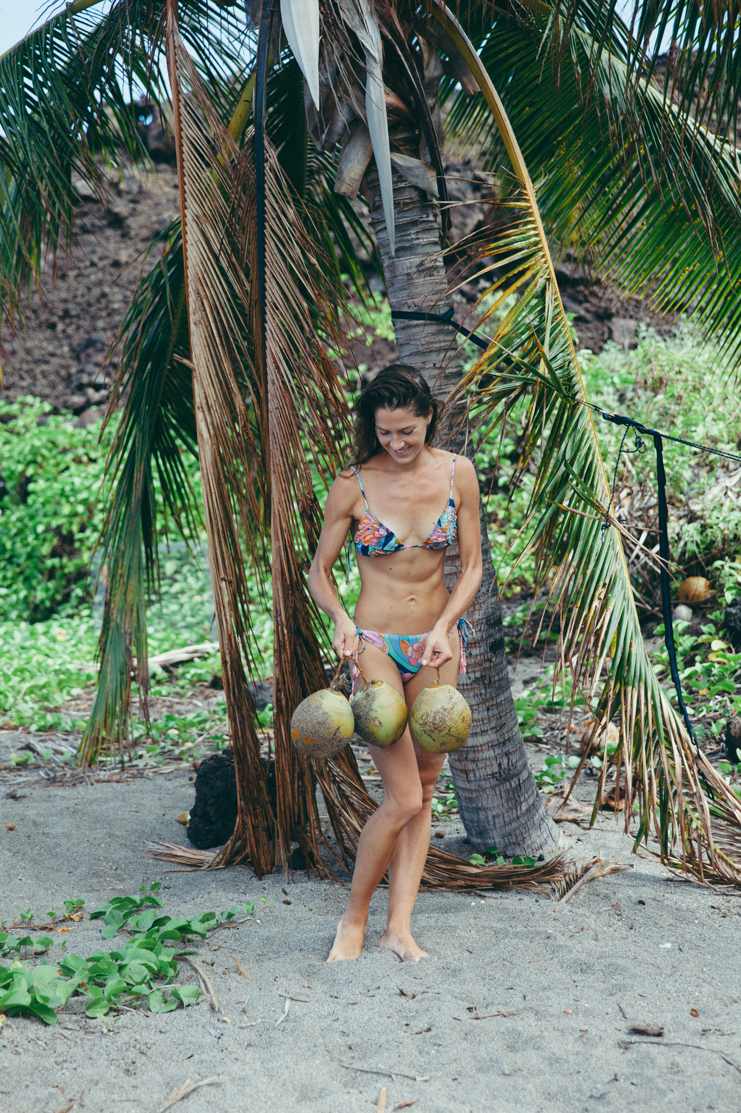
After an hour-forty-minute hike, 3.4 miles (54 km), the trail ends at a small secluded beach, Pohue Bay Beach. The place is actually under governmental protection, home of turtle nests. We can see a dozen of them, protected with cylindrical thin-wire barriers. The person in charge (we spotted the agency’s vehicle) acknowledges us and, probably after deciding we pose no threat, leaves the place to us and walks up to his cabin. A 300 ft-long white-sand beach, several coconut palm trees, a small creek for us to swim. We ran out of water earlier on the trail, and put our salute on my fresh-coconut opening skills. They are quite hard to get to, on top of the palm trees, but our will –and thirst– win.
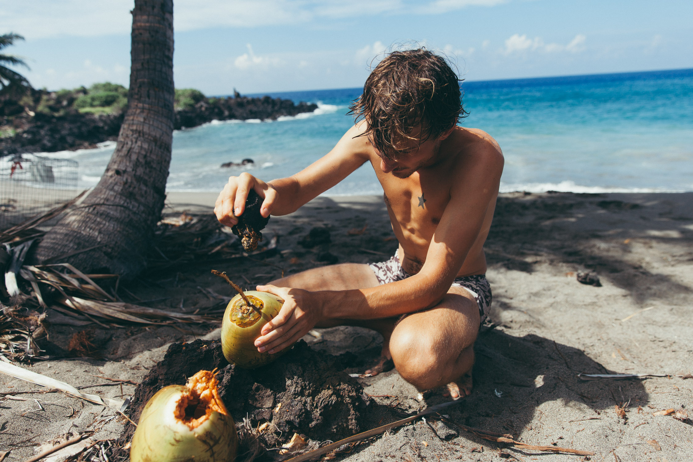
No knife, no tools. So … using a piece of sharp lava rock to break open the coconuts.

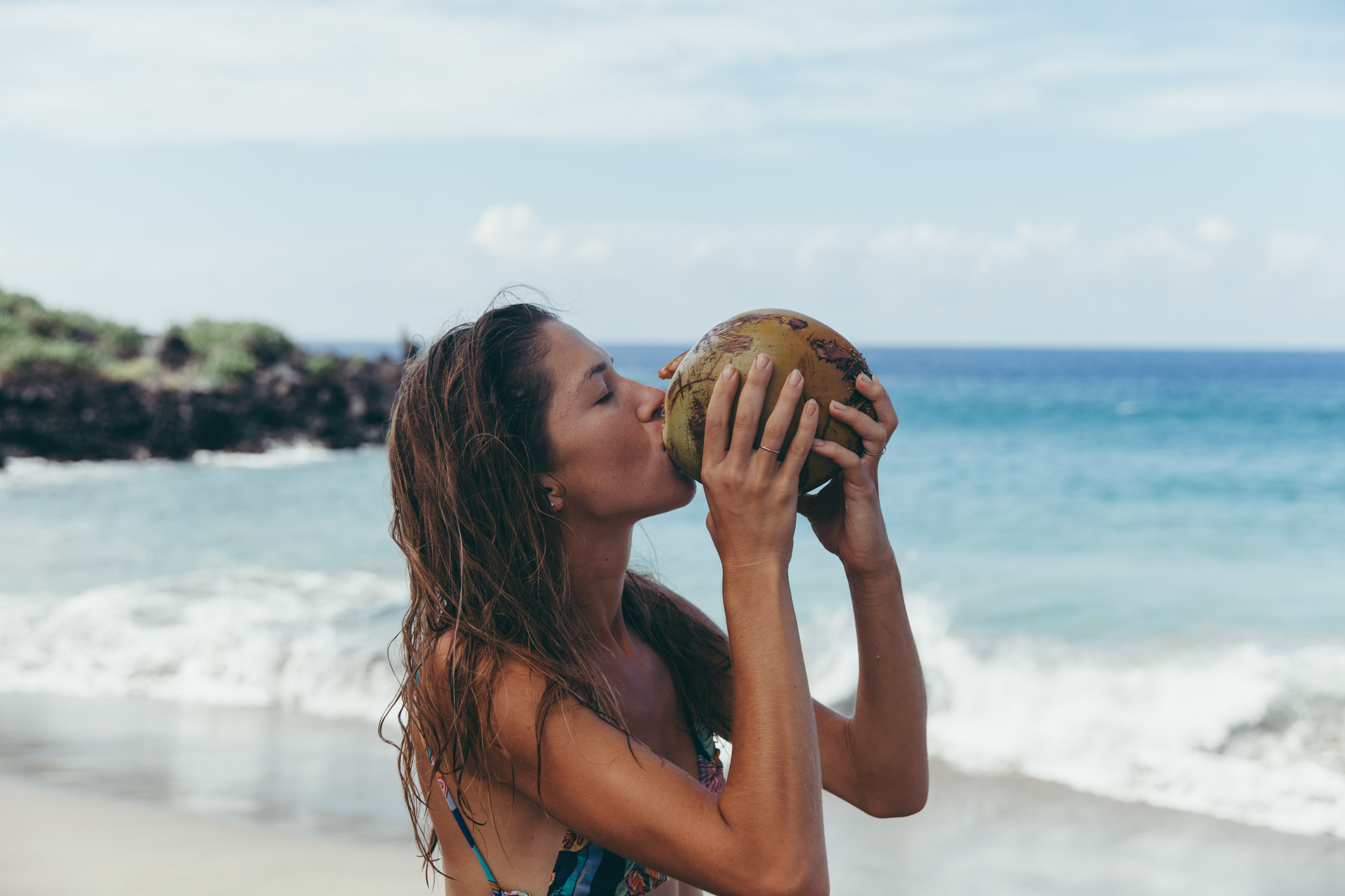
The reward: the freshest and tastiest coconut water we ever had! Straight from the palm tree. So delicious.
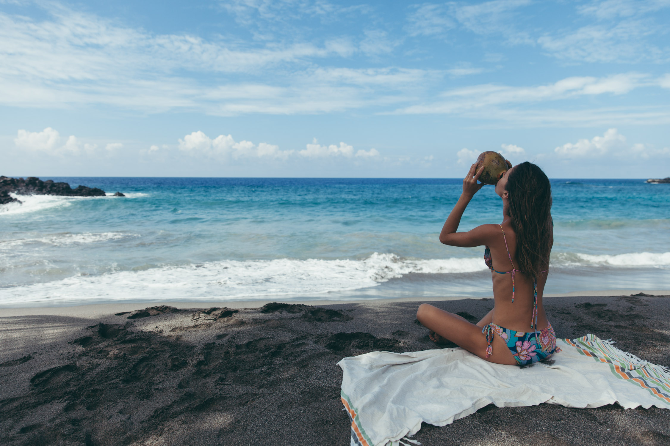
Four coconuts later, swimming and resting time, we hike back up to our little temporary home.
Exhausted, but our need for adventure has been fulfilled for today.
Tomorrow, the road will take us to more discoveries in the Eastern part of the Island.