
“When I’ll be older, I’ll be a photo-journalist…”. That’s what came to my mind a few meters, seconds away from the top…
We are meeting Mongo-mo-Ndemi today, as the Bakweris call it. Climbing the “Mountain of the Gods”. Mount Cameroon, an active volcano, with a peak 13,435 feet above the ocean, the highest peak in Western and Central Africa.
A quick look at the route saved by my iPhone during the hiking… 6,84 miles, 10.285 feet of upward climb (that you have to walk down later, necessarily)… In other way, a piece of cake ![]() …
…
Day 1
A 6,000 ft climb to the shelter
We leave Douala at 5:45 a.m. to Buea, former capital of Cameroon, at the bottom of the Mount and city where the hiking starts.
We take some minutes to talk with Ferdinand, manager of the guides office, to meet Francis, our guide and who will lead us to the top. We start walking at 8 a.m.
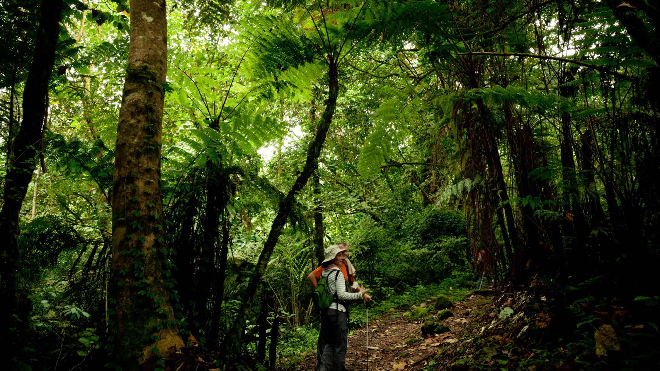
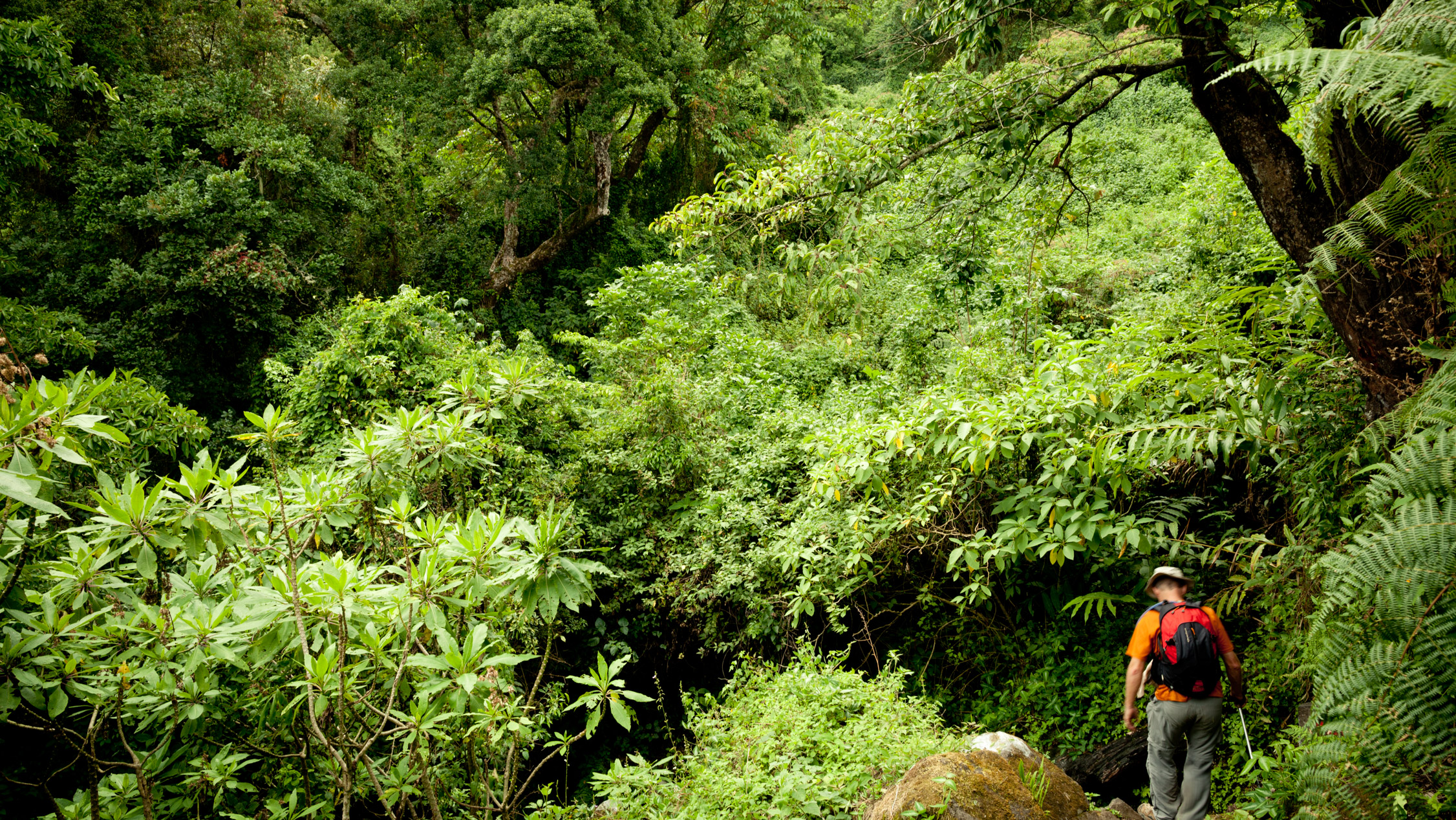
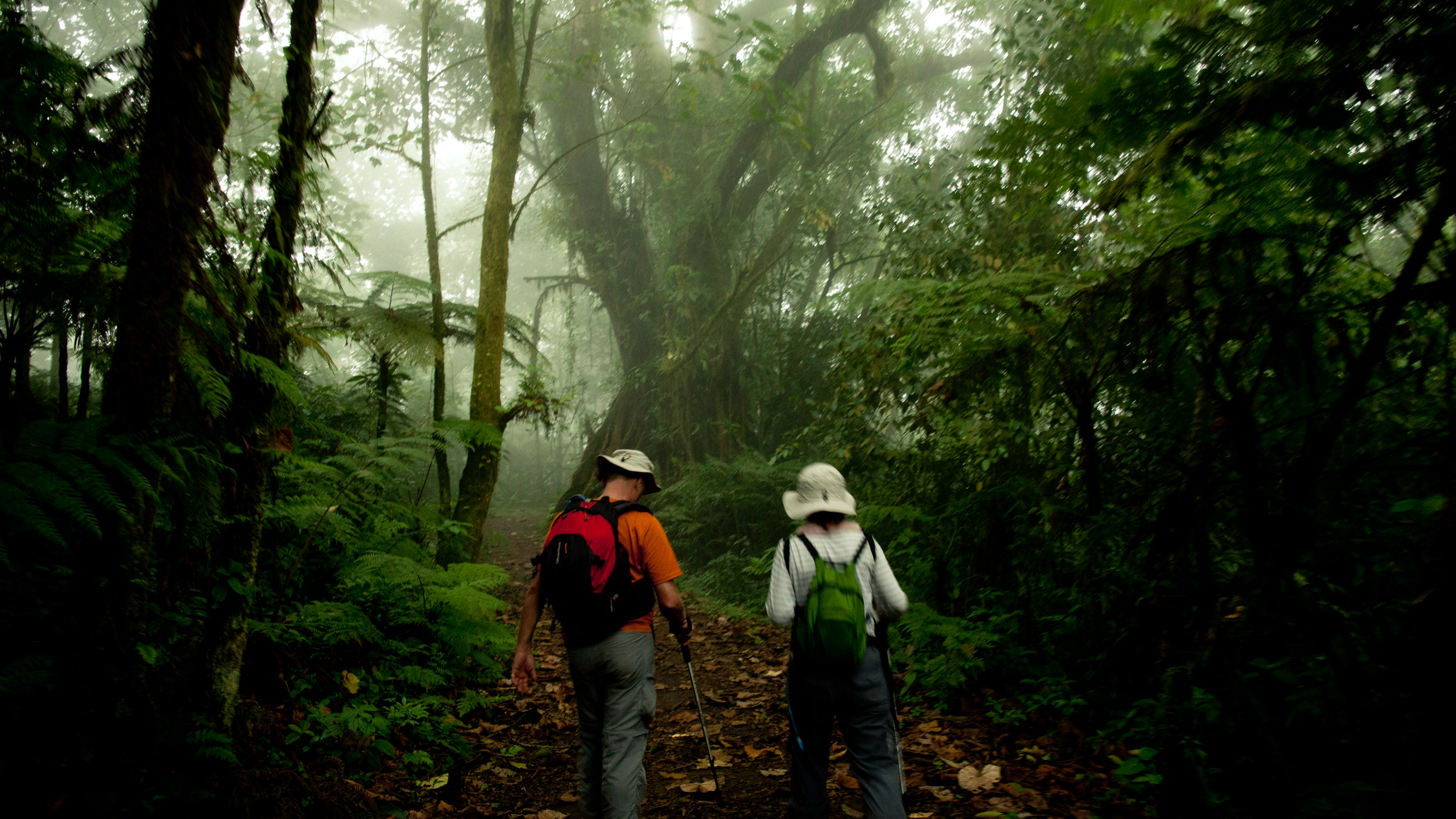
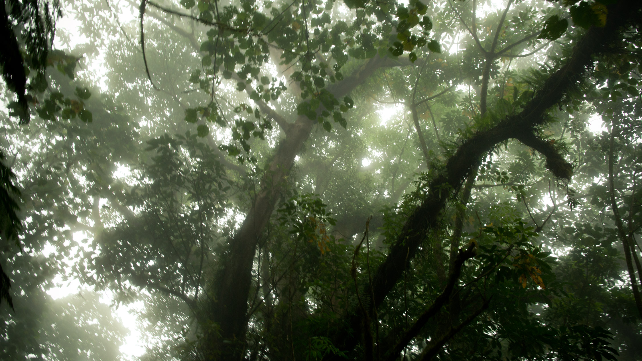
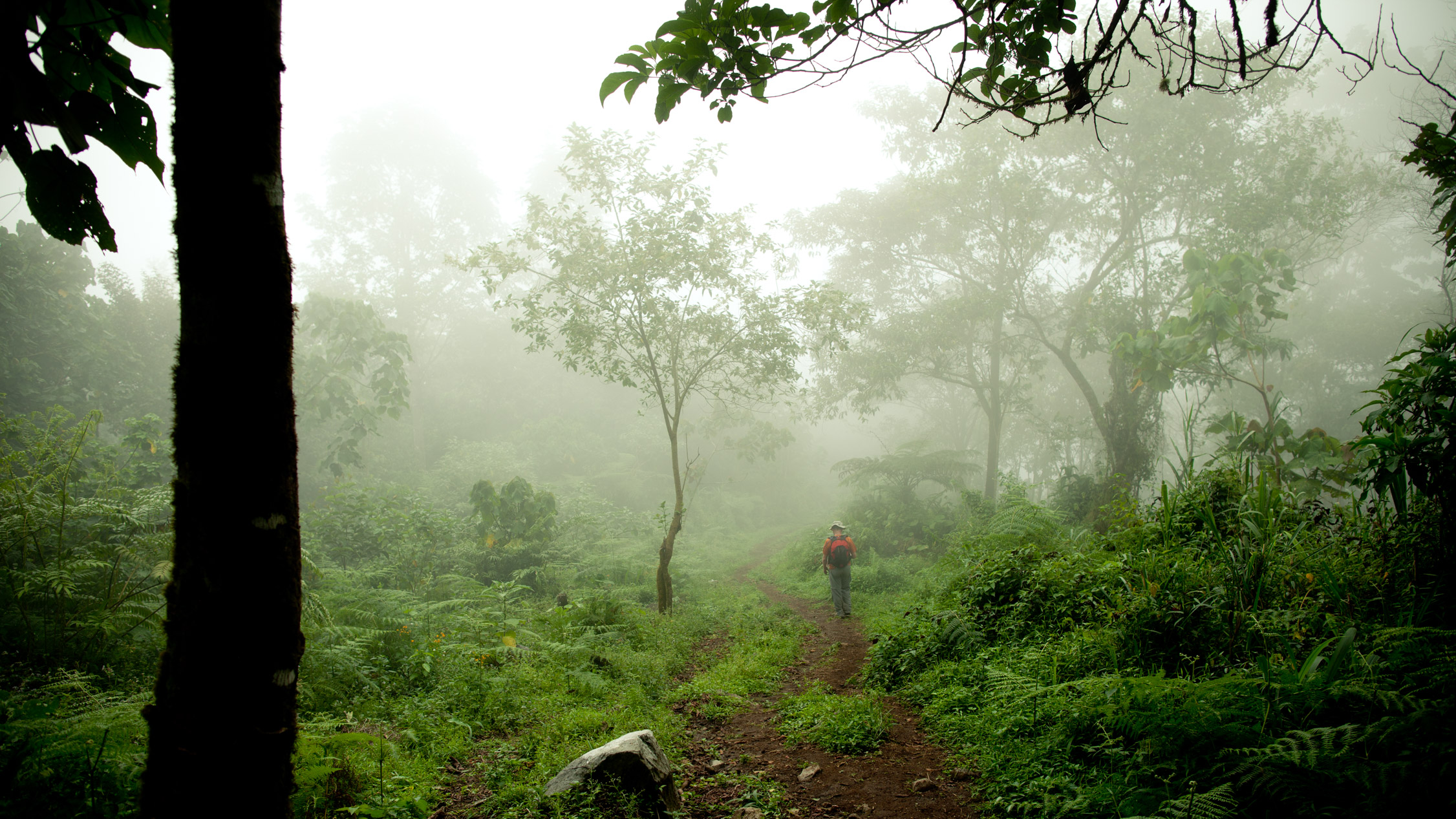
The first part consists of an almost three hours walk in the tropical forest. Green, verdant, green, green and noisy…

“Take nothing but pictures. Leave nothing but footprints”. If only…
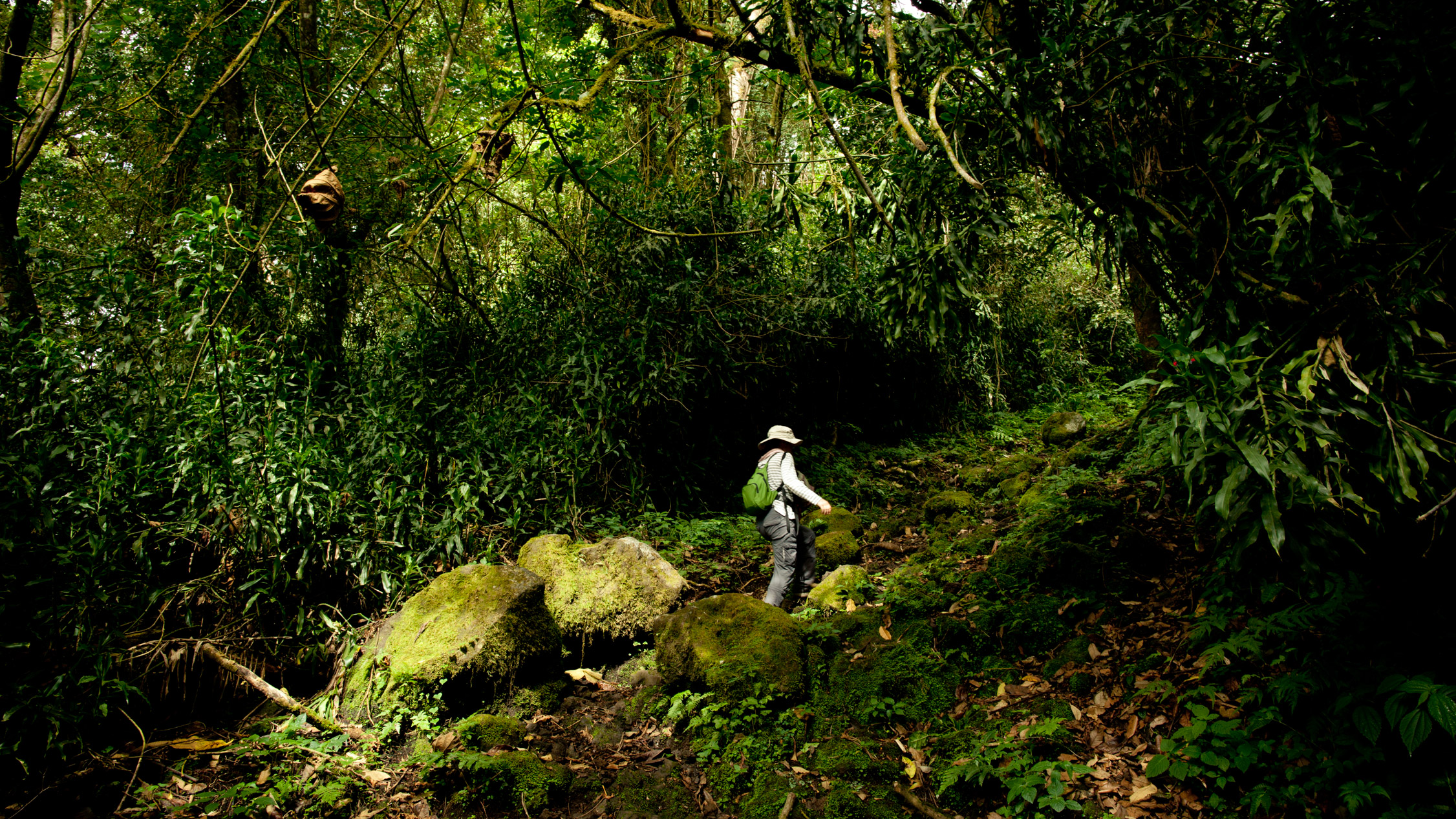
You feel really small in that forest…
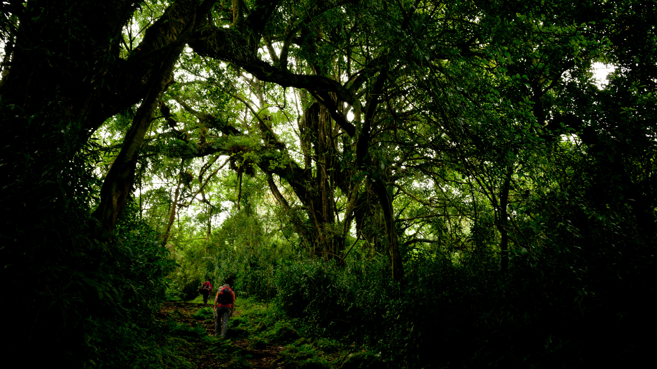
… under some huge trees with weird shapes. They often draw some complex and chaotic canvas.
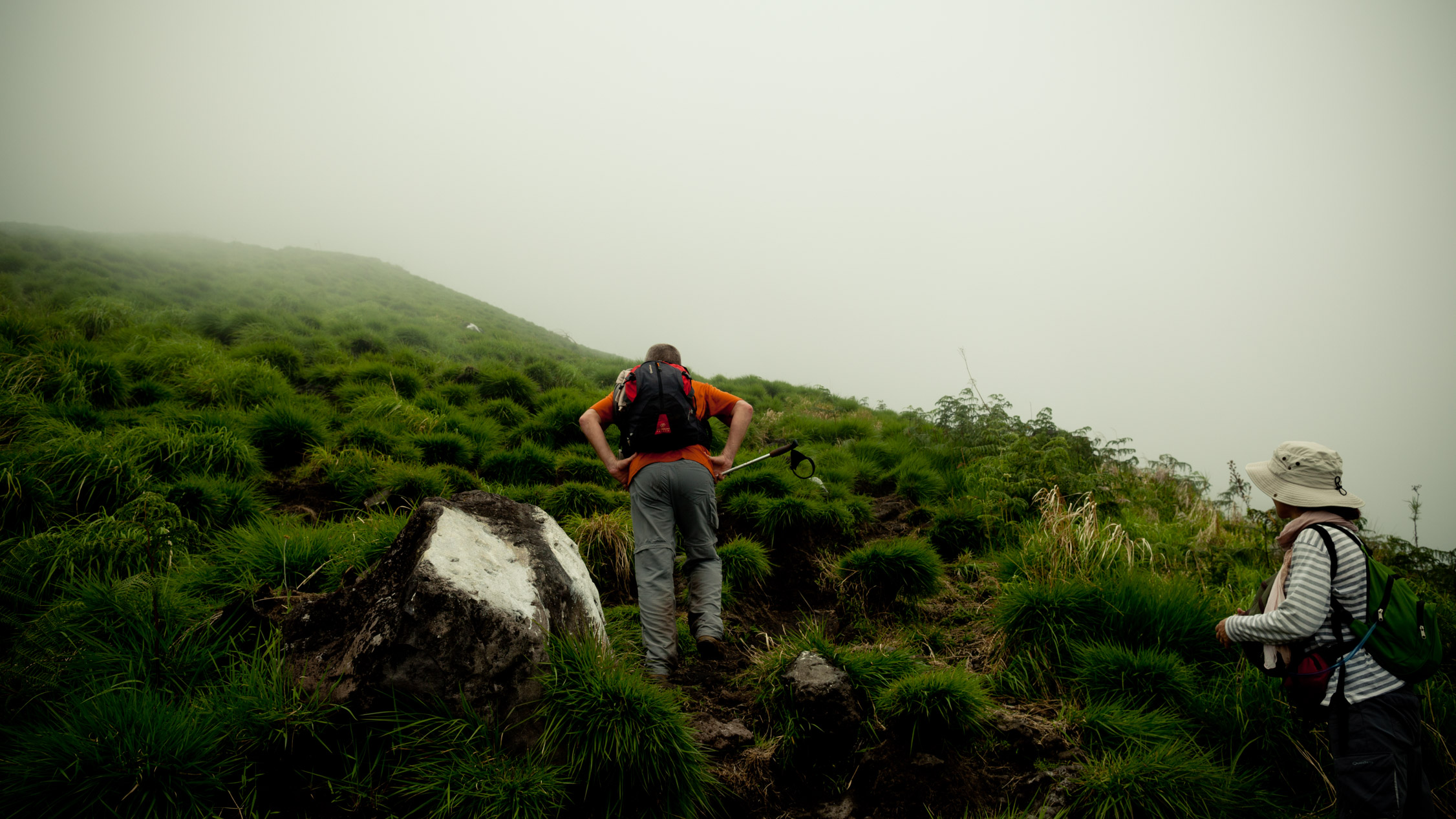
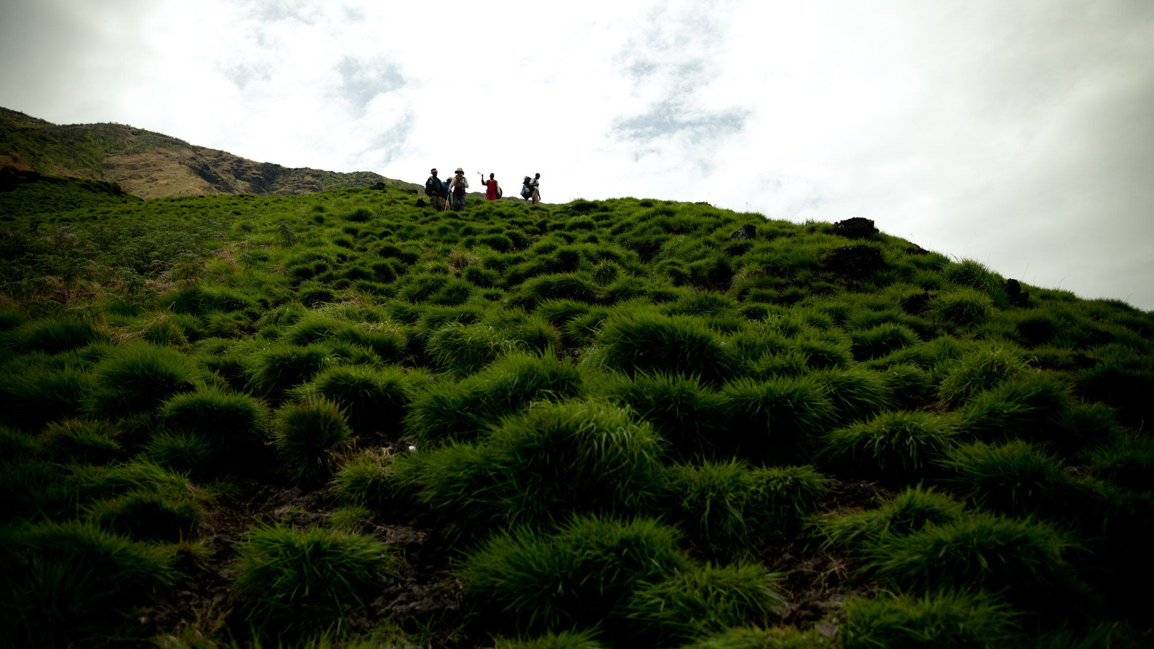
10:43 a.m. We finally exit the forest, and a green and gray wall appears and stands up in front of us. A slope which seems to have no end, because of the mist. A 45° gradient minimum. Just a few seconds to breath, gather our strengths, and we start climbing.
With the GPS logs I have from the hiking, I’m discovering now that this piece is 1,12 miles long. 1,12 miles with a slope that is over 45° gradient, I wonder how we got through it ![]() .
.
Drama time.
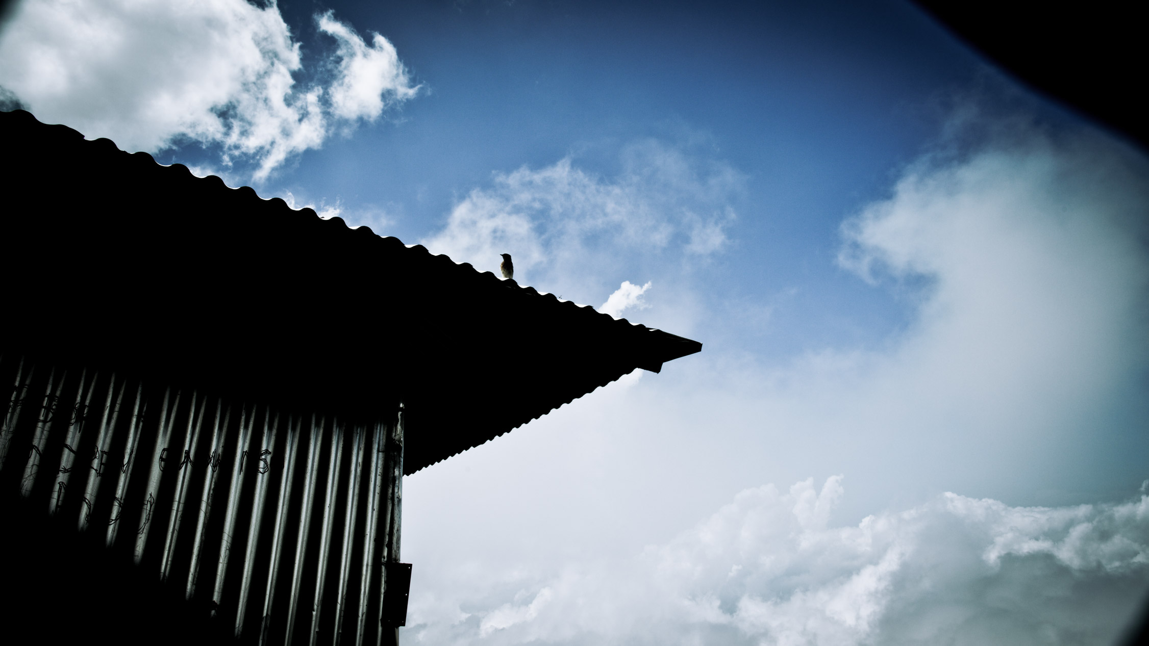
A the beginning of the slope, the second refuge, at 7,447 feet. I meet there one of the only two animals I’ve seen during the hiking… I wonder what’s that bird doing up here, alone…

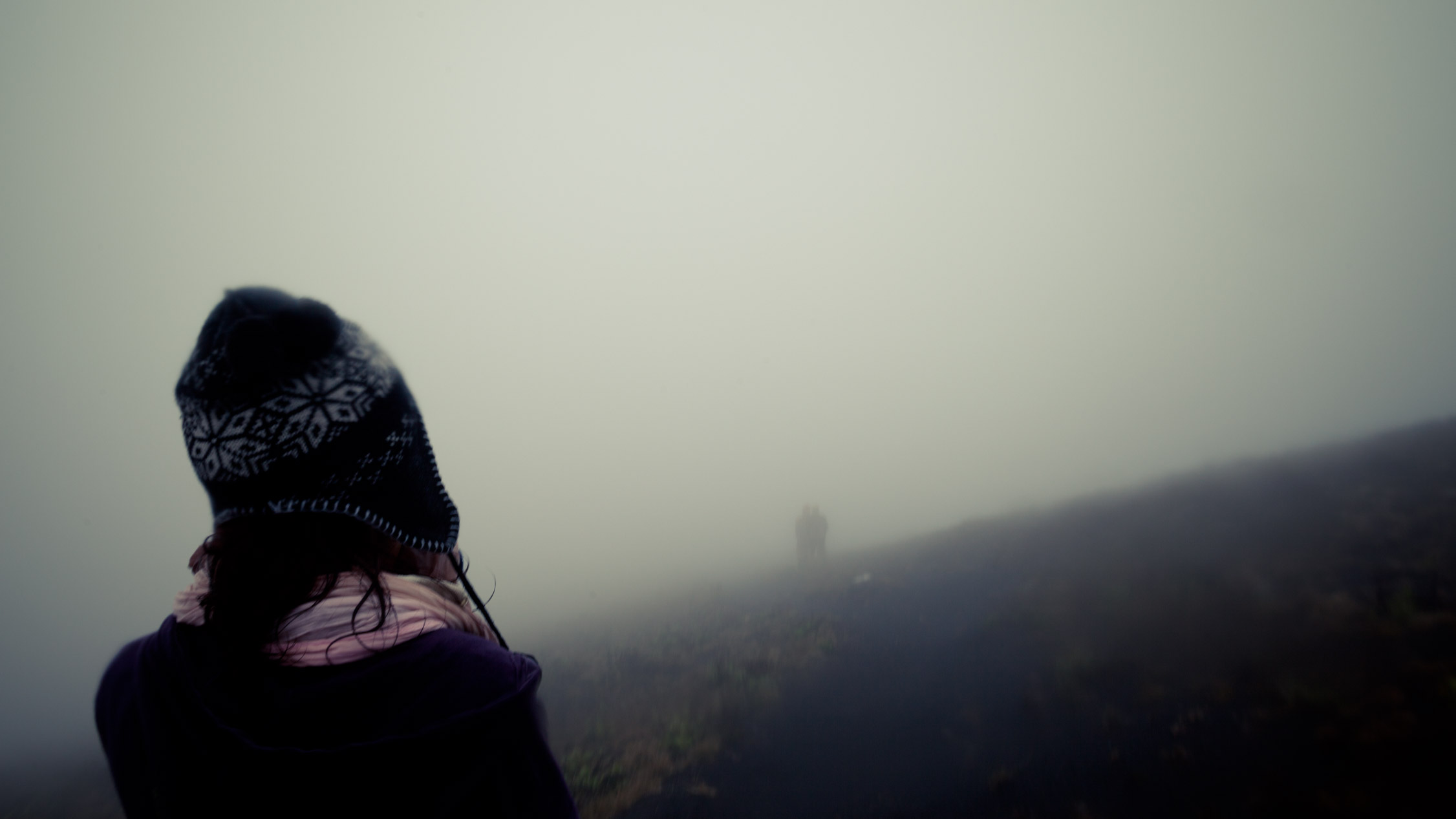
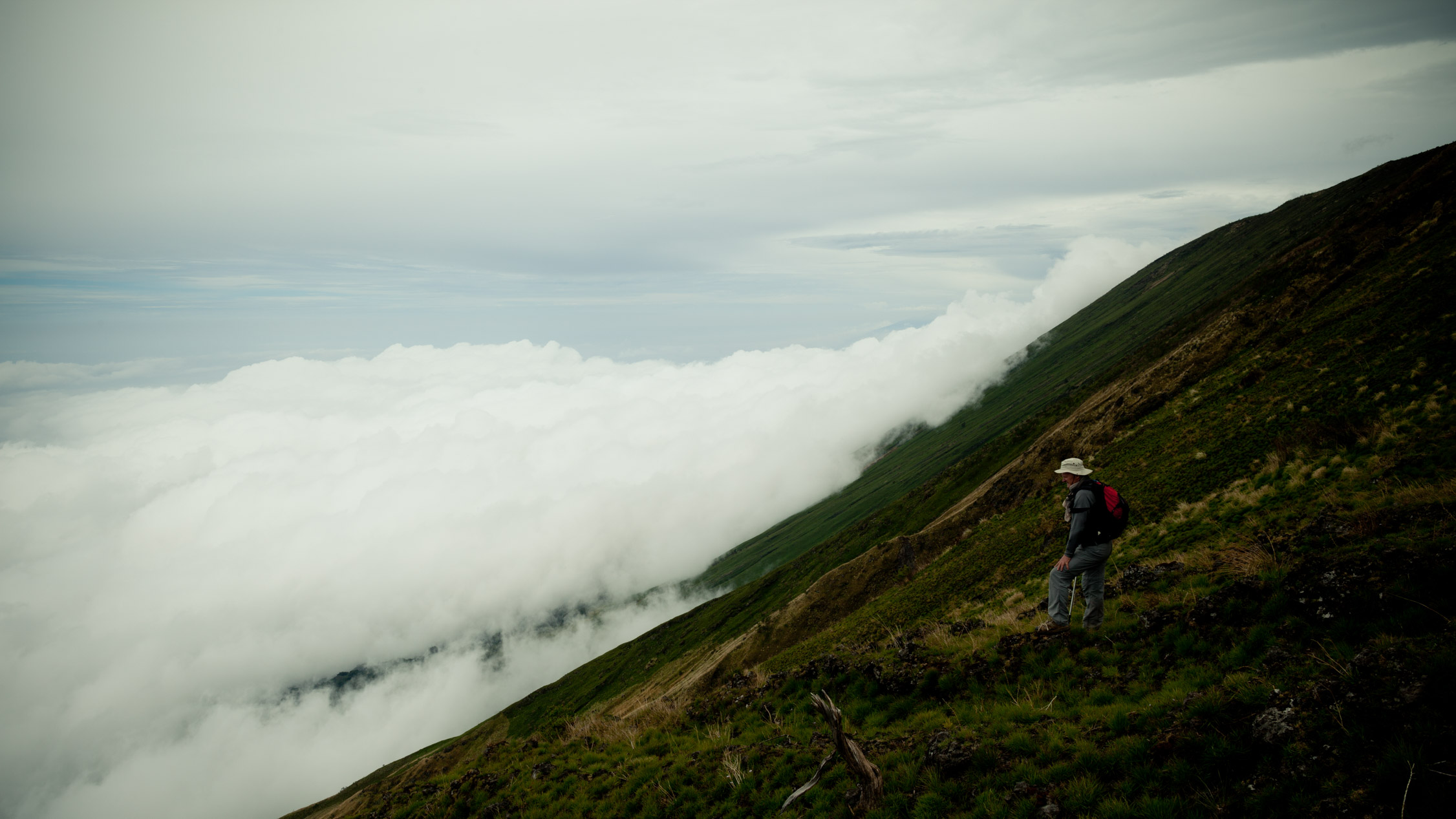
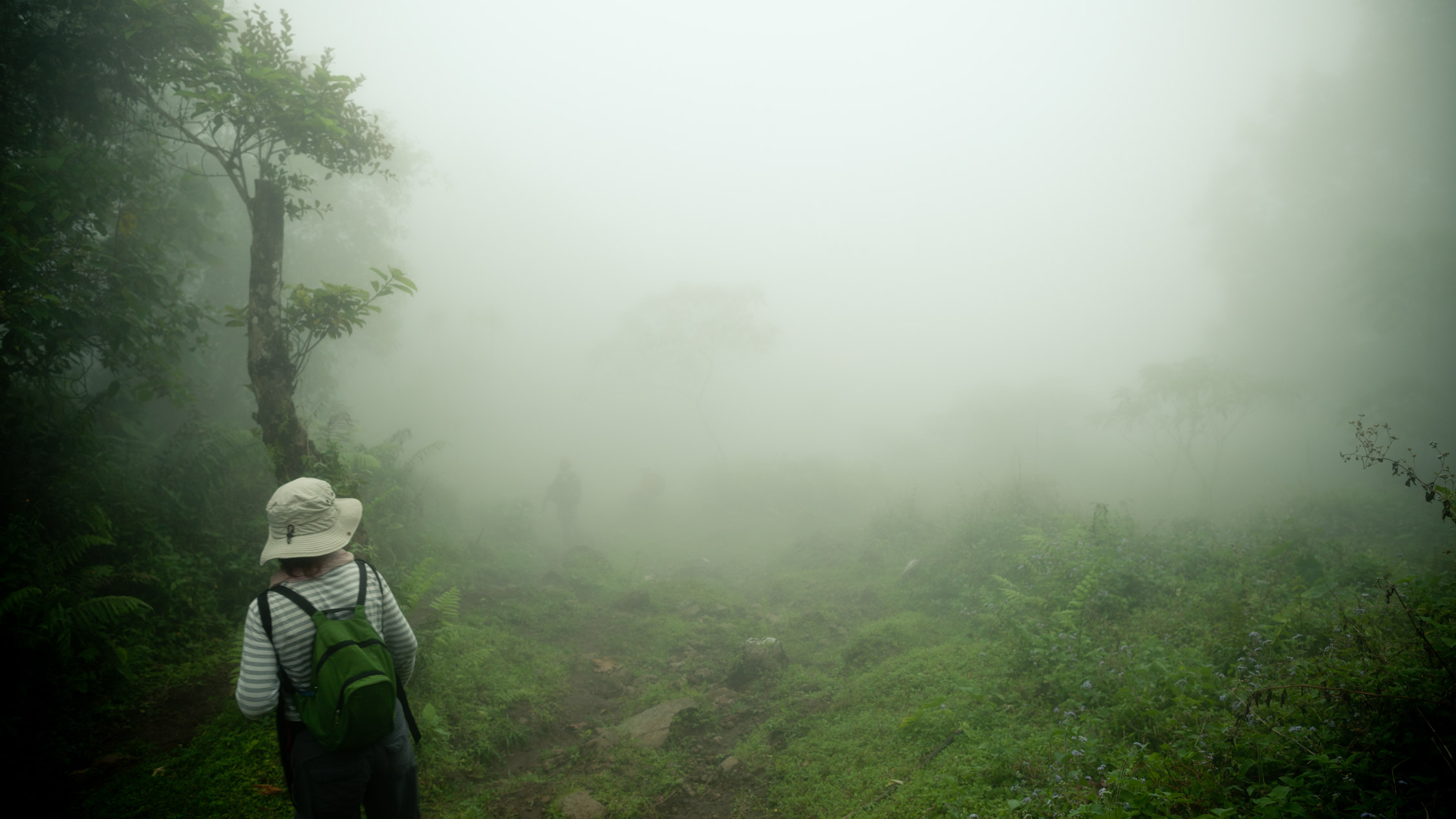
The misty mysteries. When the fog disappear, it’s most of the time to discourage you, revealing another slope…
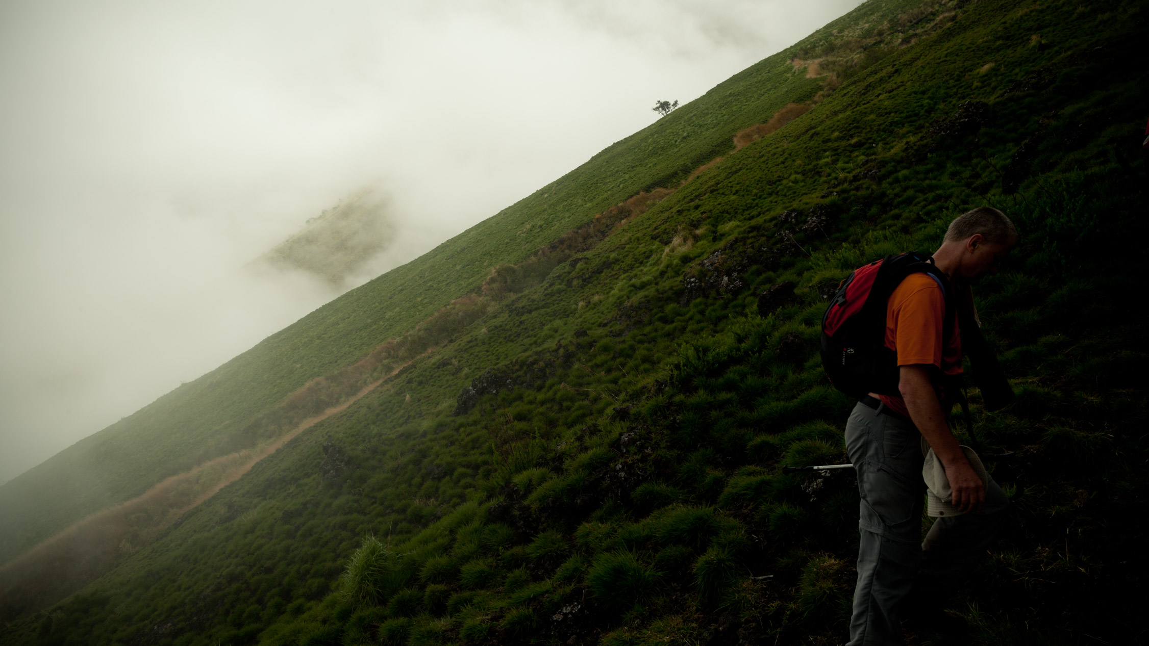
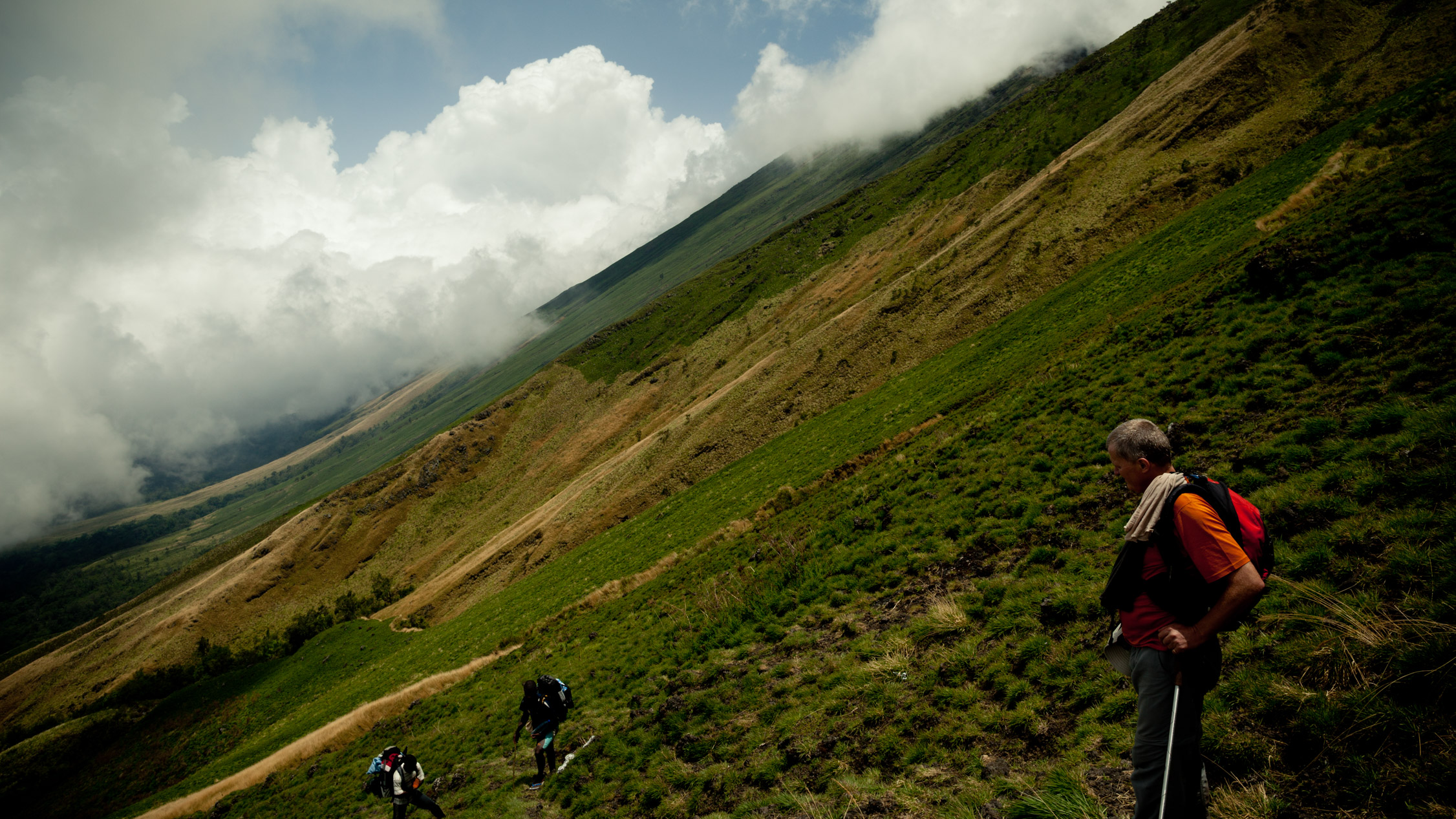
You can see on the bottom-left the forest, and the growing slope of the volcano…
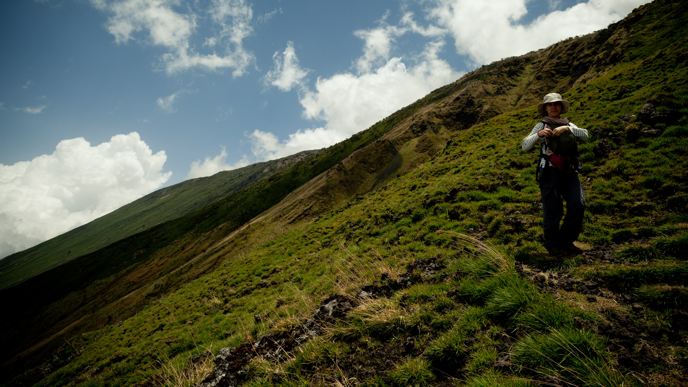
You get lost in the immensity…
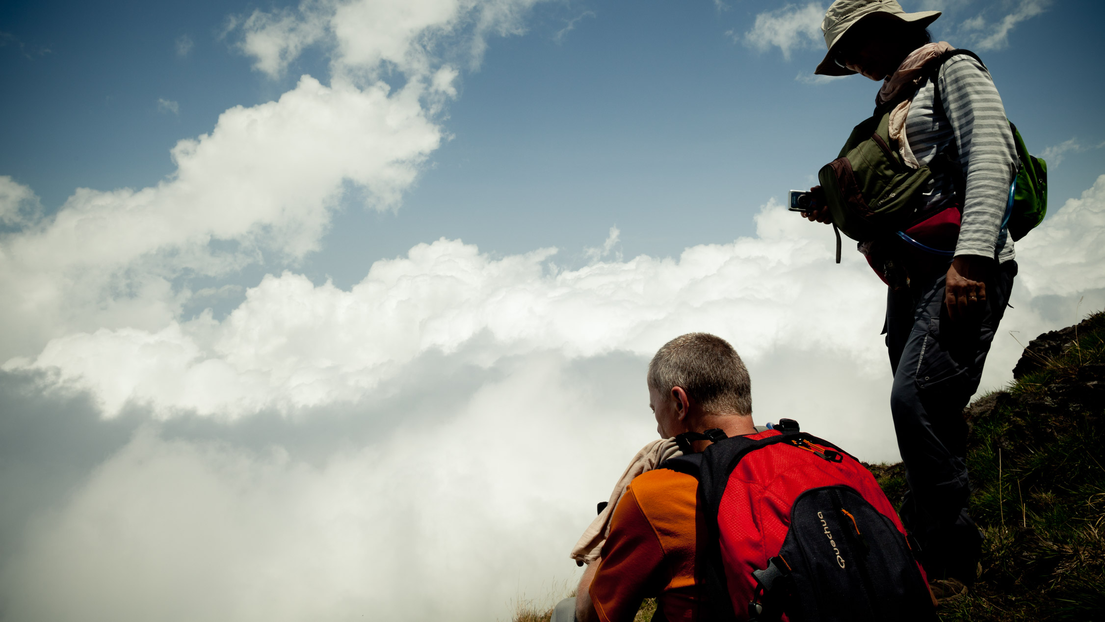
… and you observe the world from another point.
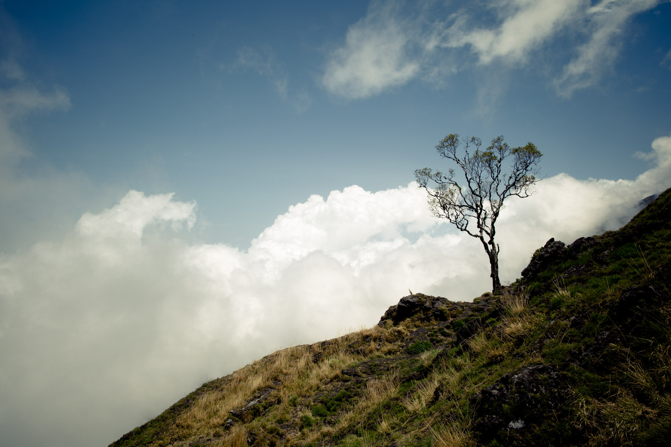
Isolated beauty. Moment of inner peace.
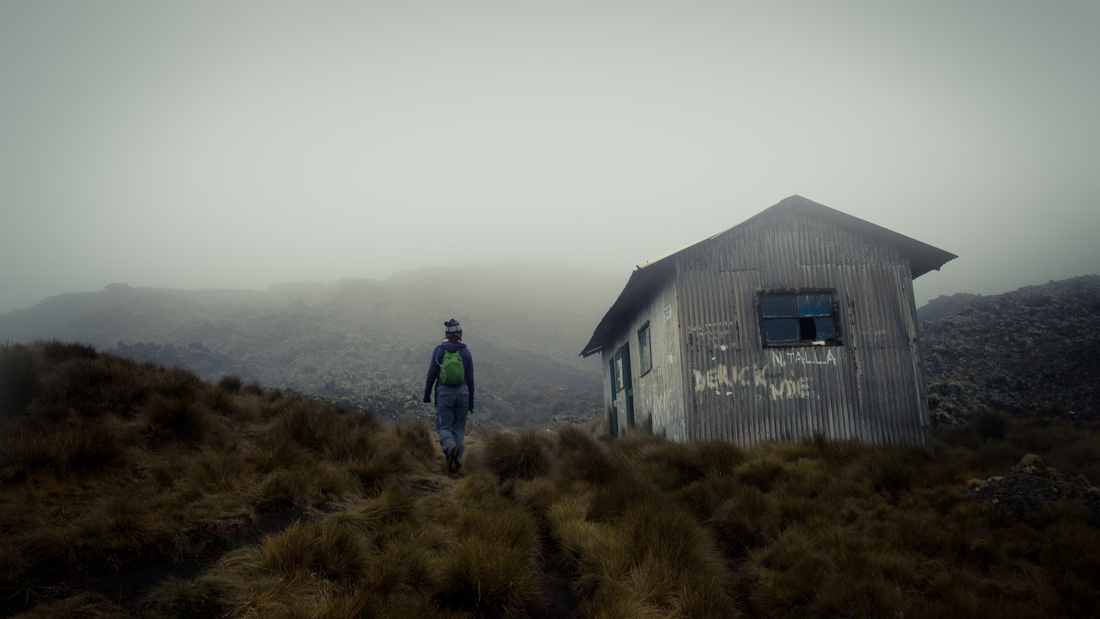
2:12 p.m. We finally arrive at the refuge where we’ll spend the night, before walking to the top tomorrow.
Of wood and metal sheets, the place is flimsy but will protect us. At this altitude, temperatures at night fall below 50°F.
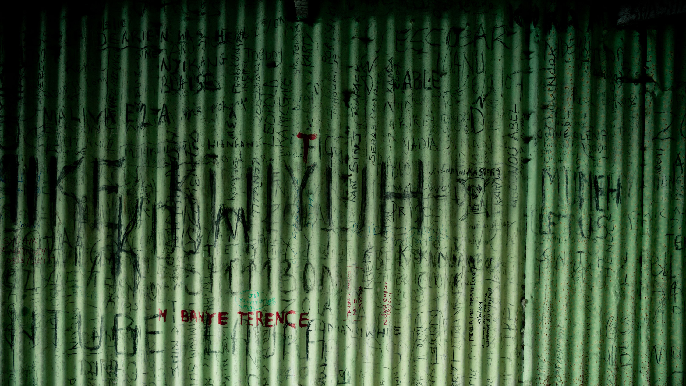
Hikers scrawl on the walls of the shelter, saying that they’ve been here before. You don’t feel alone. I even feel connected to these people, maybe because we have a common goal.

Special evening at 9,318 feet: my parents celebrate their 30th wedding anniversary! Little cakes, candles…
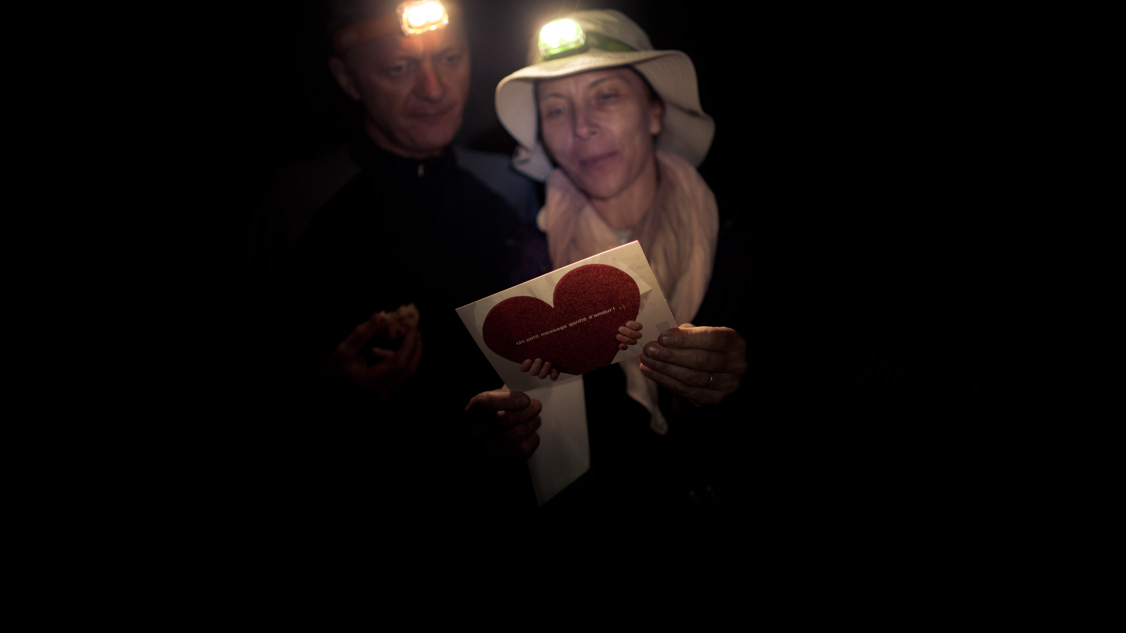
… and the mailman has even brought a card signed by us four children… 
The night falls on the volcano…

7:15 p.m., the last light ray disappear, the stars are coming out…
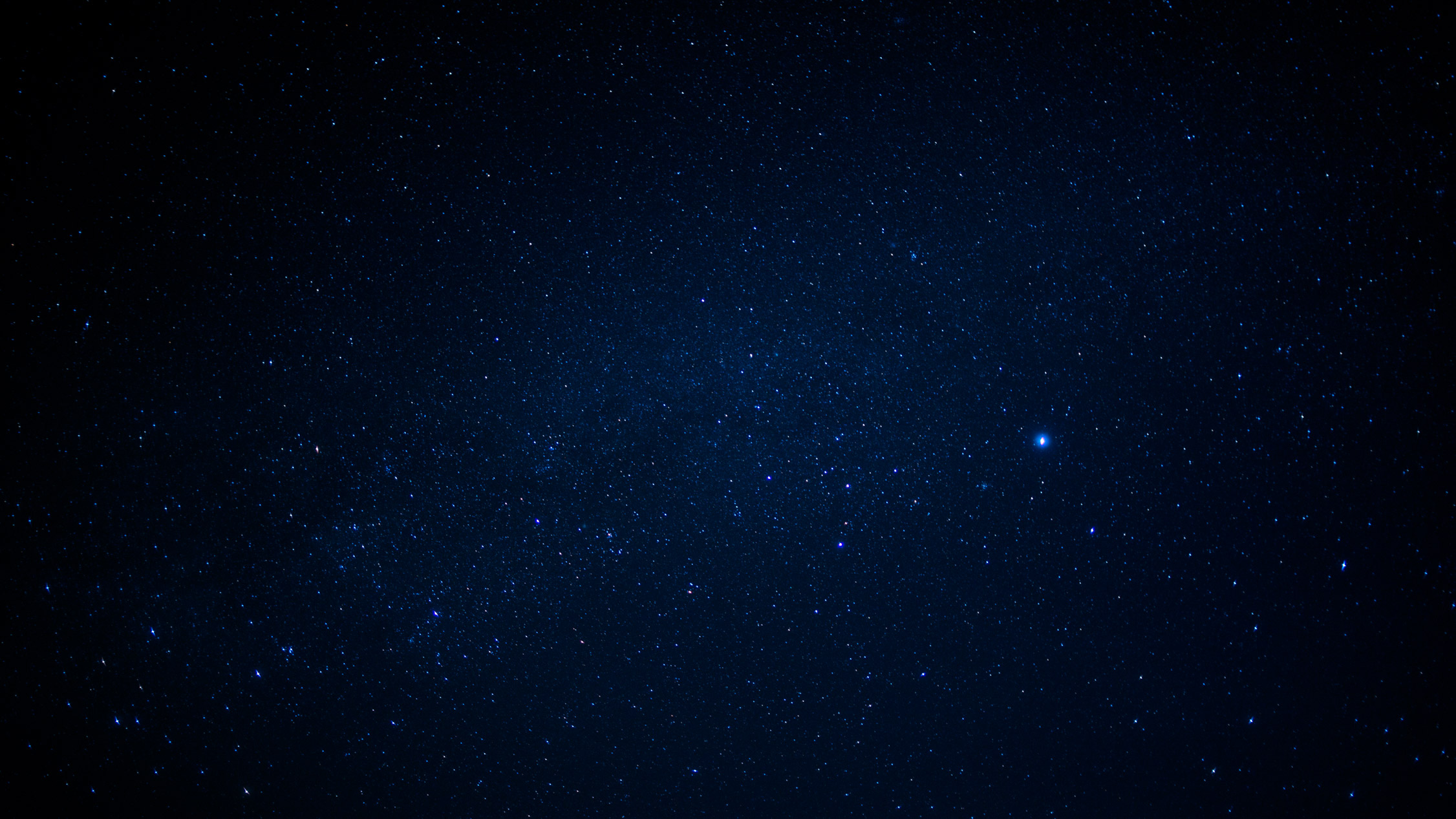
… and light up the sky in a few minutes. I love that.
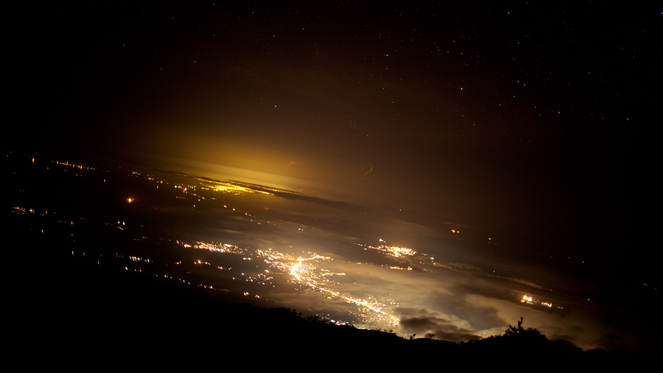
Looking to the East, some cities are visible. At the bottom of the mount, Buea, farther, Douala.
Day 2
To the summit, and all the way down to the Ocean
We wake up at 4:00 a.m., start walking at 5. Headlamps on, a new wall is facing us. We need to climb. Next stop: the 4th and last shelter at 12,369 feet alt., then we’ll finish hiking to the peak.

5:15 a.m., the Sun is rising and starts to light our route up…
7:33 a.m., we arrive at the last refuge. The landscape is different here. More hard, more austere. No more green, everything is covered with volcanic black rocks.
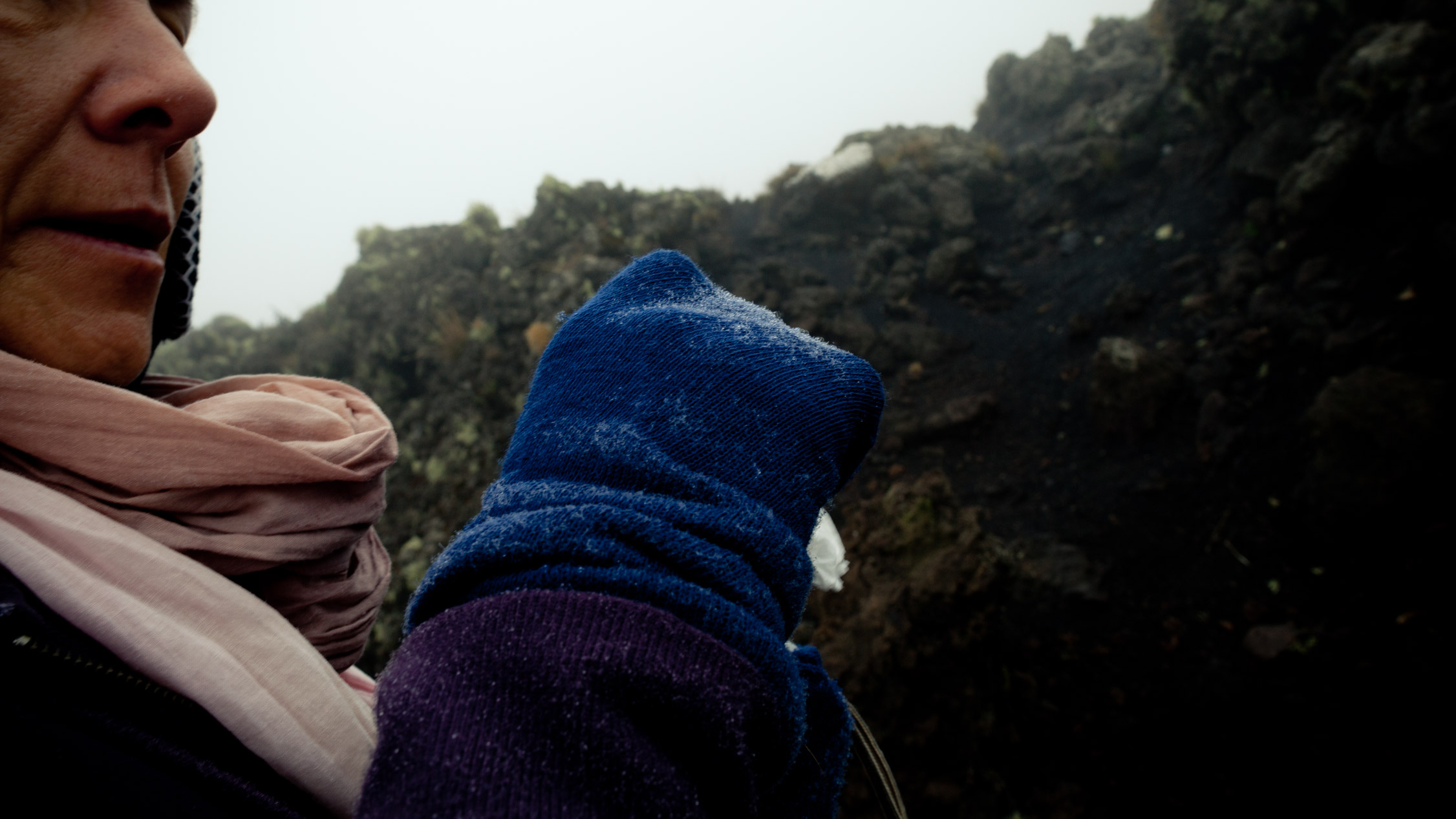
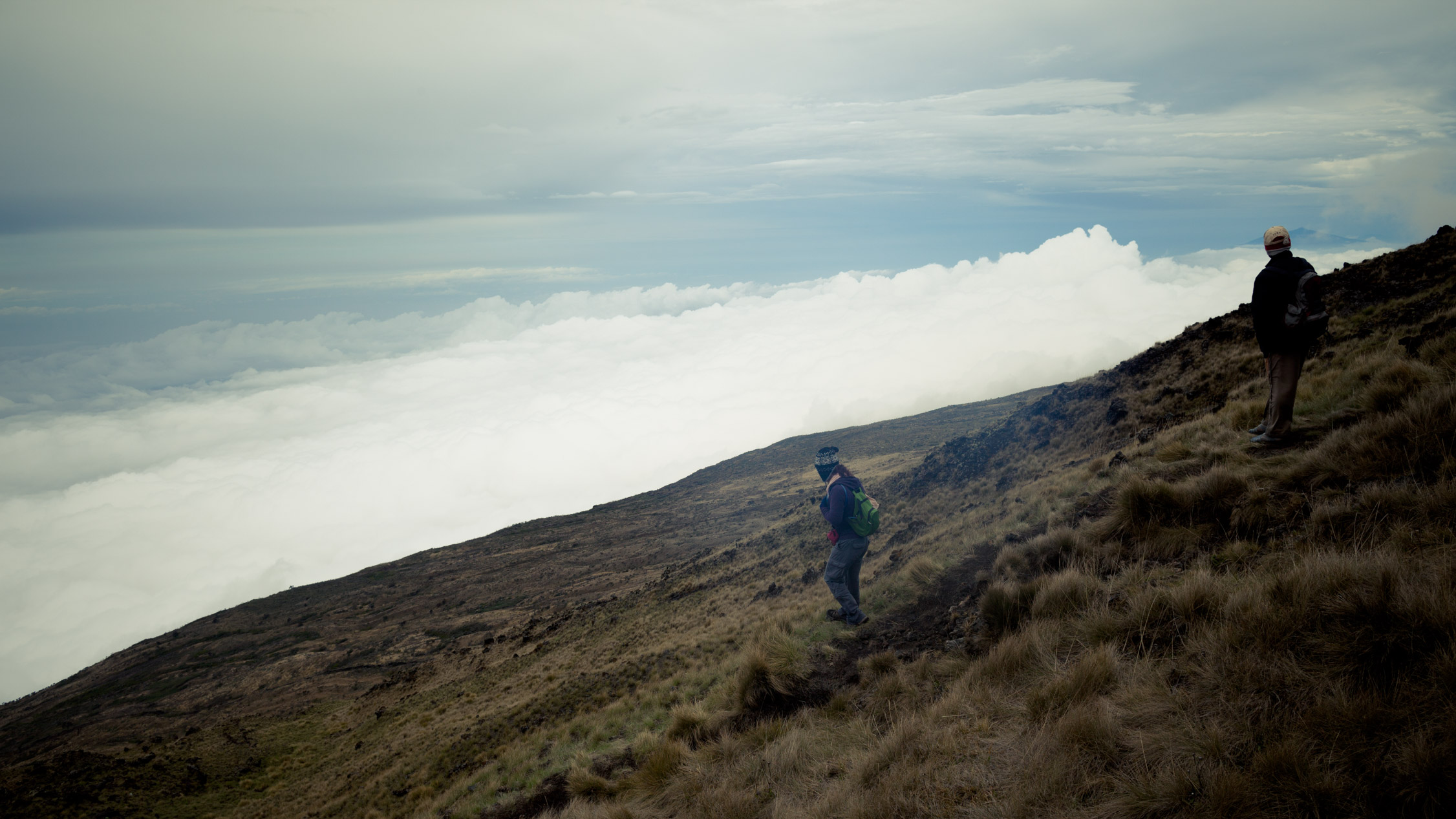
On the way to the top, the wind starts to blow, the mist is getting thicker. We’re in a cloud. The temperature drops, now negative, and the little water drops on us start to freeze…

Desert. The wind, the cold, the altitude force the landscape to adapt. No more green, just several dry plants. No more rocks, only volcanic gravel.
Despite the weather conditions, I keep taking pictures and filming the way up, putting my fingers’ life at risk (no, okay, it’s not that risky, but the cold is making my fingers numb in just 10 seconds, so it’s hard to continue carrying my camera). Nonetheless, I film the last meters of our climbing and the arrival at the top, 13,435 feet alt..
8:25 a.m., ladies and gentlemen, welcome! We’re on the highest peak in Western and Central Africa.
A few seconds of film, and the cold make my lens filter start covering with frost…
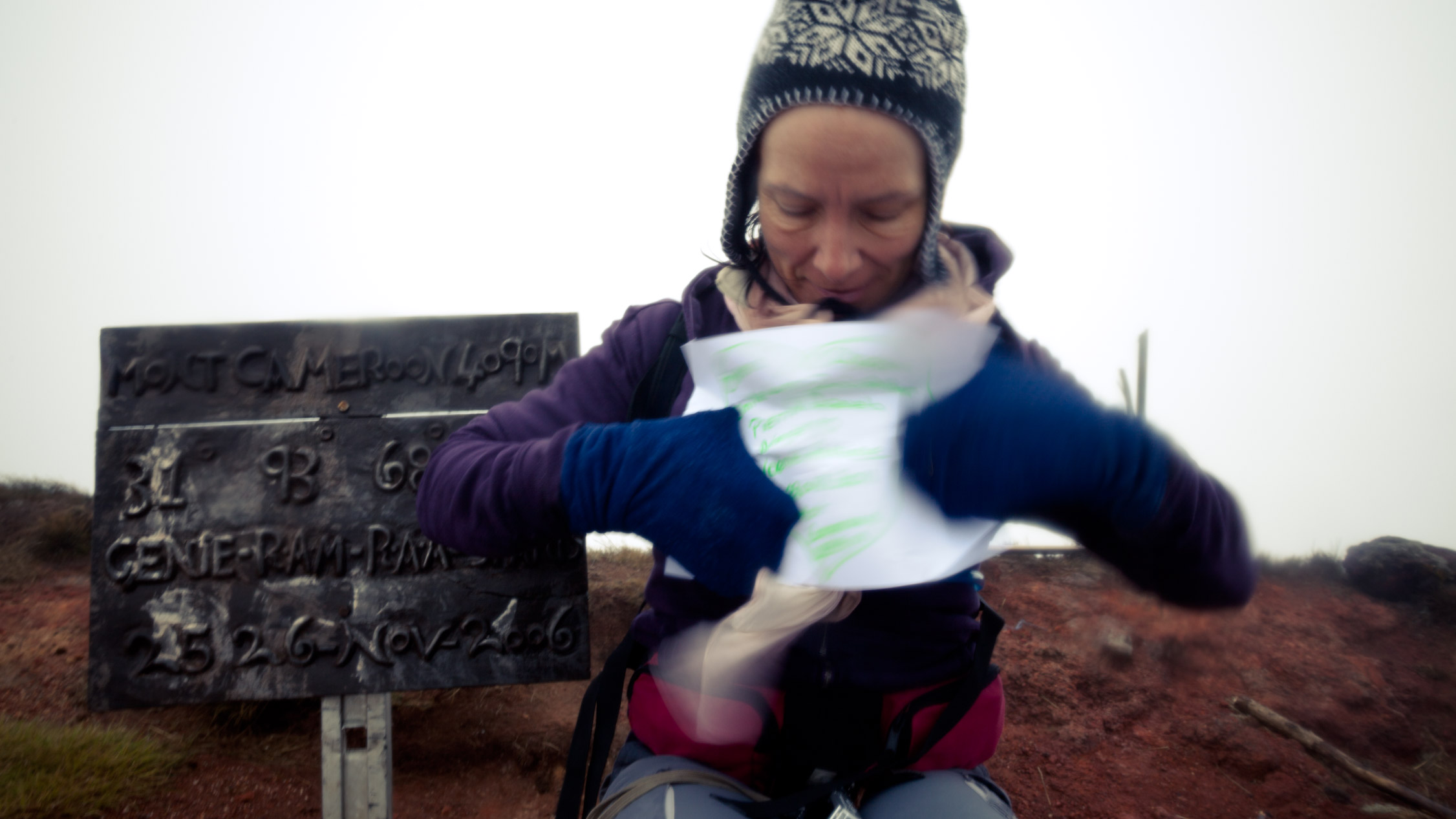
8:27 a.m., a little message from the top…
We just stay up there for a little time, and our guides ask us to go down. The cold really makes your body hurt. On the way back, our heart is satisfied, we did it!

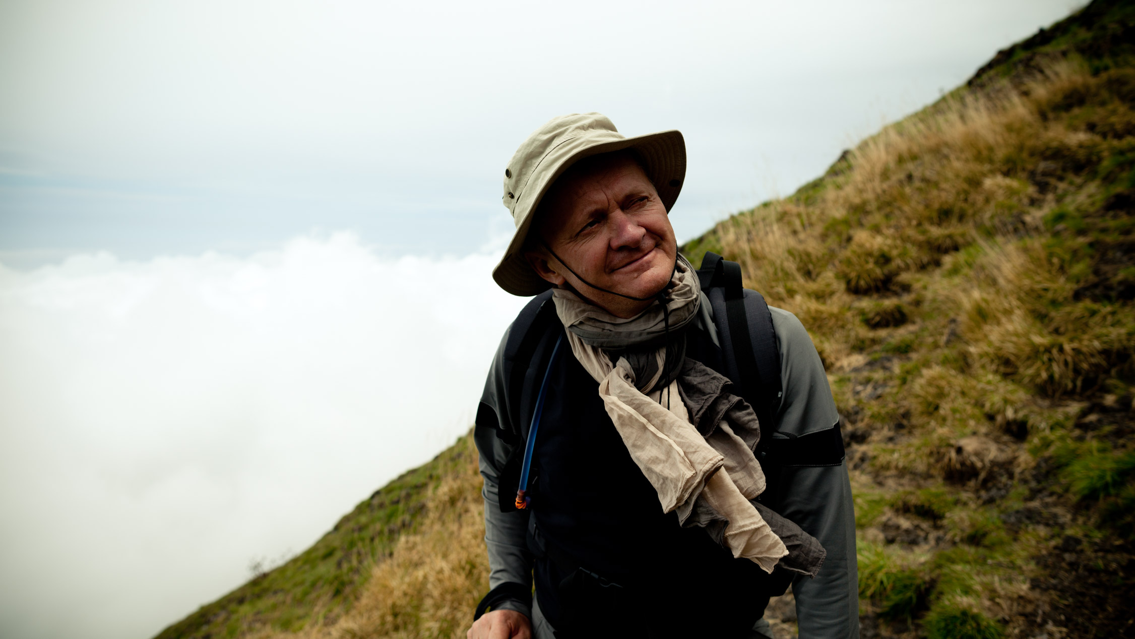
I even take time to be a bit lazy and enjoy the view (just for a while, you can’t do anything crazy up there).
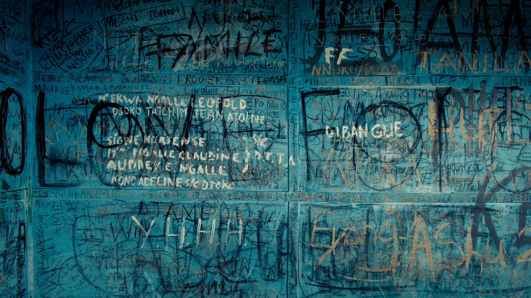
9:06 a.m., back to the 4th refuge. List of the souls that have been here before…
Walking down to the 3rd shelter…
… and back to the green slopes…
… the slope is as difficult as yesterday. We have to be careful…

… and we are finally back at the 2nd refuge (1:06 p.m.), just before entering the forest. Little group picture. Christian, William, Paul, Samuel, Francis, Christine and I.
Last difficult descent…
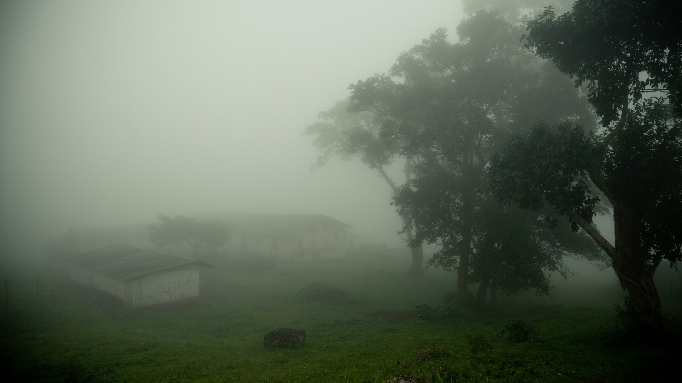
… and we enter the big forest. It’s 1:46 p.m.
As we walk, fog appears and becomes more and more dense…
… offering us something new, something we haven’t seen on the day before.
Magical moments.
Impressive instants.
Back to the land farm, start and end point of the hiking. It’s 4:45 p.m. now.
Back to the center of Buea. We say goodbye to everyone, and we drive to Limbe to rest for the night…
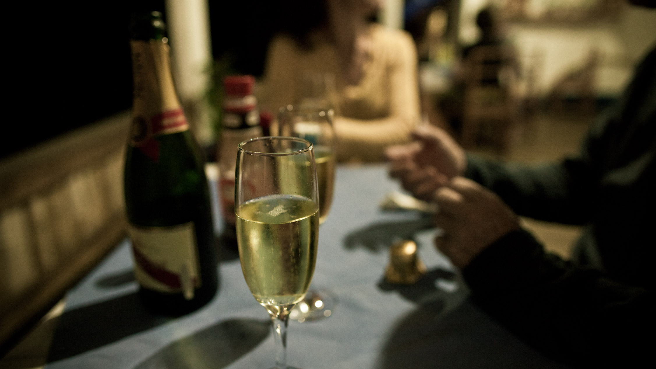
… and celebrate our victory over Mount Cameroon.
Day 3
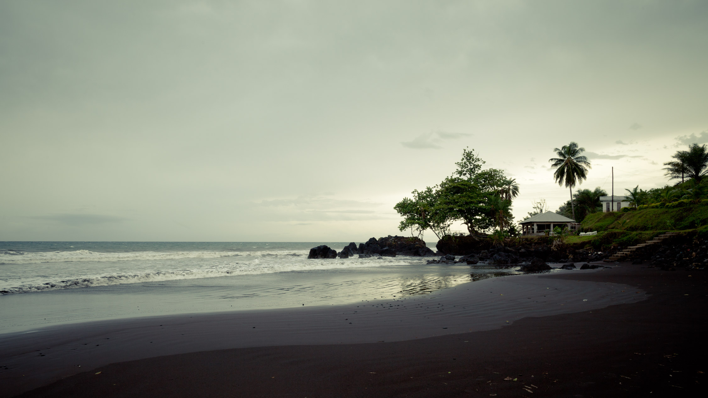
Feet in the Ocean
We wake up at Limbe. We go to the beach, for a moment of relaxation…
We are on our way back to Douala in the afternoon.
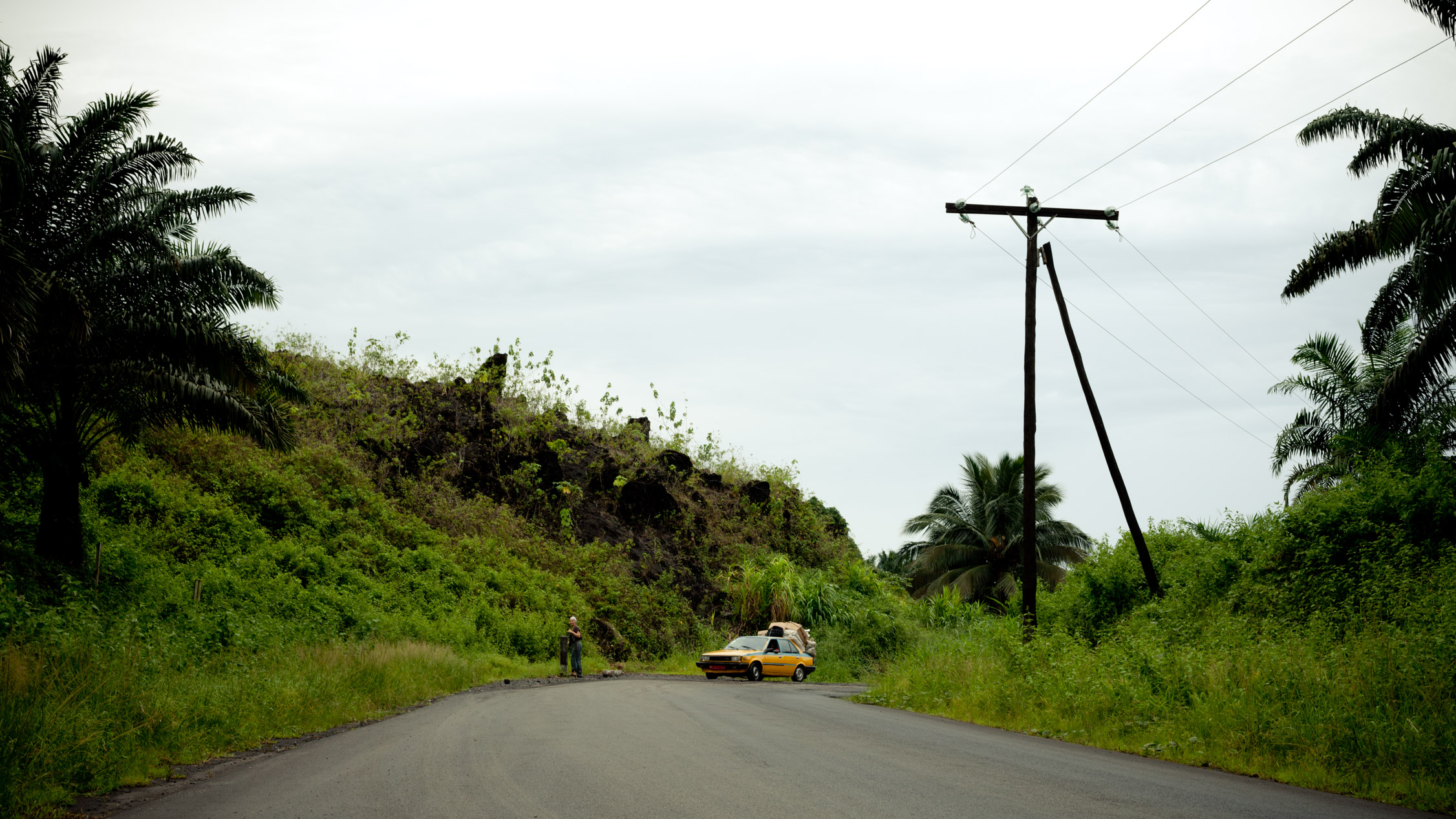
If you have read the previous episode, you know that a spit of lava has cut the road in 1999, near Limbe. Here’s a picture of it .
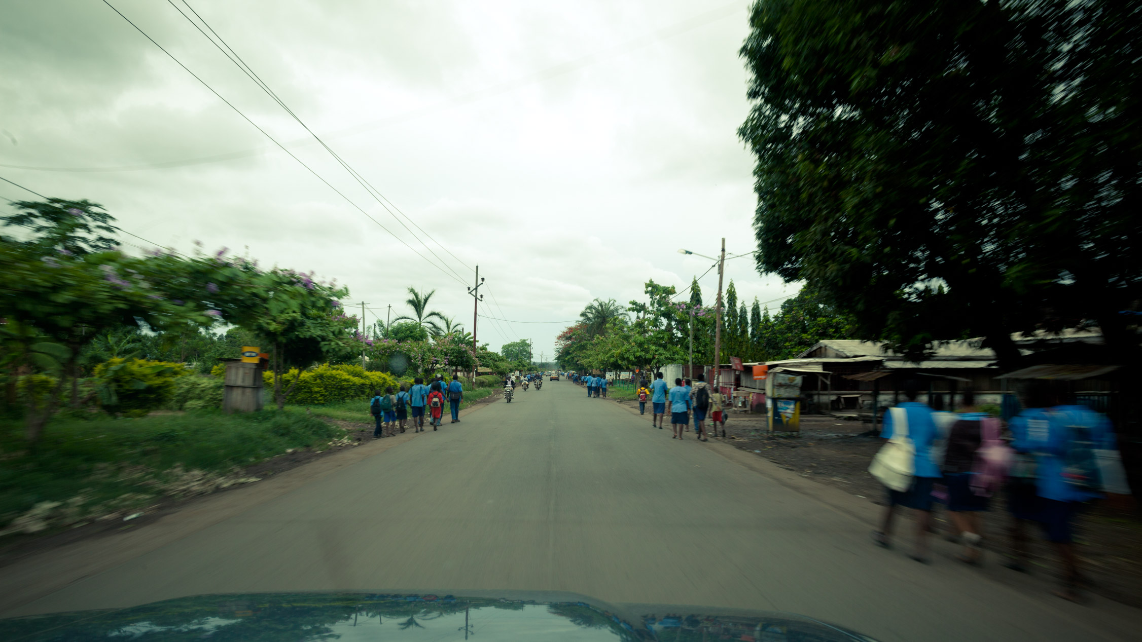
On the road…
On the new road of Bonabéri, between Mutengene and Tiko.